The best walks and hikes around Niedersulzbach
4.5
(1318)
7,300
hikers
348
hikes
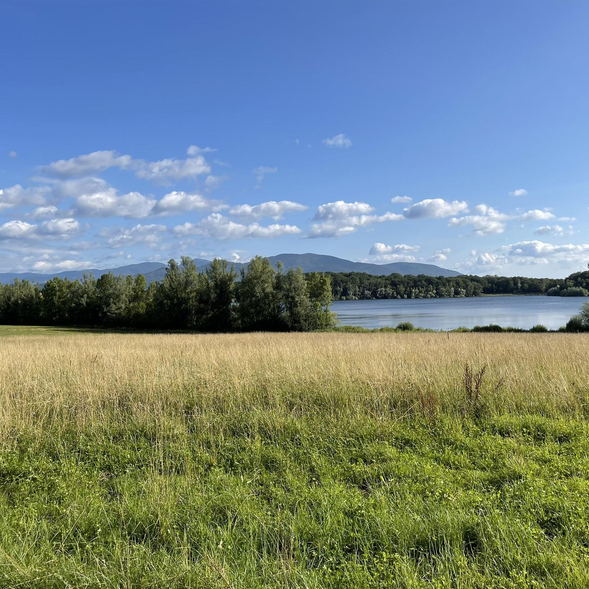
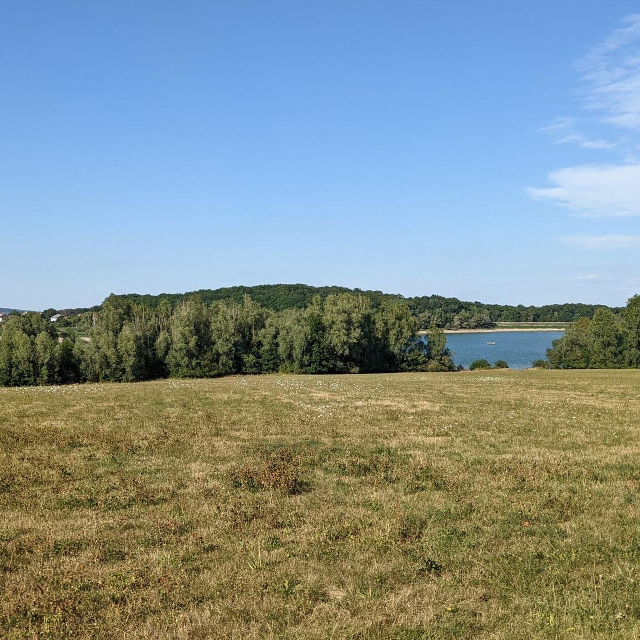
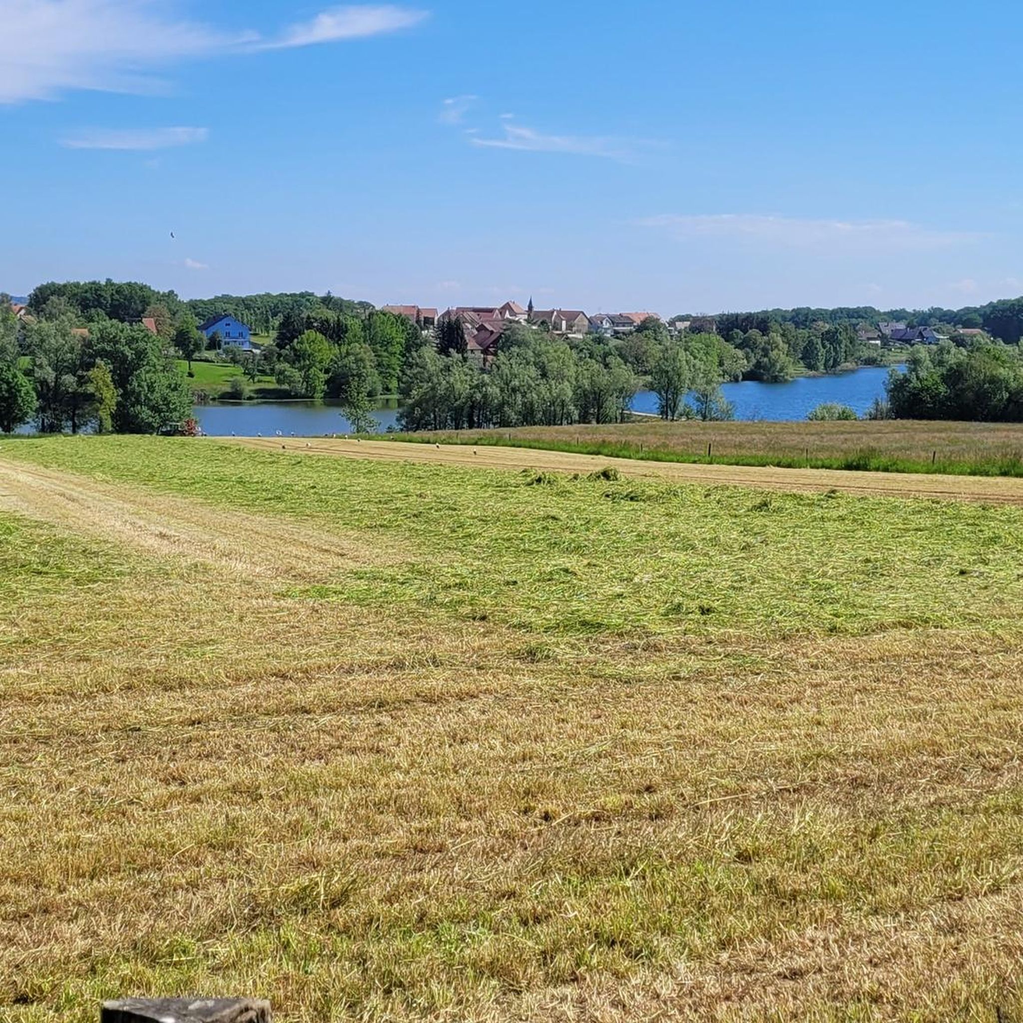
Hiking around Niedersulzbach offers a diverse landscape characterized by rolling hills, dense forests, and picturesque river valleys, particularly around the Doller River. The region features a mix of open areas and wooded paths, providing varied terrain for outdoor activities. Trails often lead through charming villages and past historical landmarks, reflecting the area's rich cultural and natural heritage.
Best hiking trails around Niedersulzbach
- The most popular hiking route is Soppe-le-Haut Church loop from Le Haut-Soultzbach, a 5.4 miles (8.7 km)…
Last updated: July 5, 2026
4.8
(5)
10
hikers
8.69km
02:21
120m
120m
Moderate hike. Good fitness required. Easily-accessible paths. Suitable for all skill levels.
5.0
(2)
9
hikers
11.6km
03:12
190m
190m
Moderate hike. Good fitness required. Easily-accessible paths. Suitable for all skill levels.

Sign up for free
5.0
(6)
11
hikers
13.8km
03:45
200m
200m
Moderate hike. Good fitness required. Easily-accessible paths. Suitable for all skill levels.
4.0
(1)
6
hikers
Moderate hike. Good fitness required. Easily-accessible paths. Suitable for all skill levels.
5.0
(1)
6
hikers
Easy hike. Great for any fitness level. Easily-accessible paths. Suitable for all skill levels.
Get access to more routes and recommendations from other explorers.
Sign up for free
Already have an account?
Our route recommendations are based on thousands of hikes, rides, and runs completed by other people on komoot.
Start today with a free account
Your next adventure awaits.
Login or Signup

Tips from the Community

Next to the town hall. Fountain, bench, and a large shelter with two tables and benches. Restrooms are located at the rear of the building. Ideal for a sheltered picnic or for a group to wait out a downpour in the dry.
0
0
February 2026: Don't bother looking for the trees anymore, they've been cut down. Only the Saint Eloi cross remains.
0
0


This historic well has for a long time satisfied the water needs of the municipality of Guevenatten. An informative panel tells you more about its history and its particularity in terms of construction.
0
0
Located on the Alsatian Way to Santiago de Compostela, Bellemagny is a beautiful town that is worth the detour. Despite its small size, it is home to many sites of interest such as the old Bellemagny mill, the convent of Bellemagny or the traditional half-timbered houses. There are also colorful animal statues dotted around the village.
1
0
This convent is the home of the Bénéfictine Adoratrices de Bellemagny. This congregation was founded in 1851 and does charitable works. This beautiful site also welcomes pilgrims on the Camino de Santiago.
0
0
This bridge makes it possible to cross the small Traubach river, at the entrance to Bellemagny. This town is on one of the branches of the Camino de Santiago de Compostela, so be prepared to see shells on the road.
0
0
It was in the 12th century that the first tower was built for military reasons. It will then be necessary to wait for the 14th for the addition of the nave and the choir. Despite the facilities, the visit invites you on a journey into the past.
0
0
Frequently Asked Questions
How many hiking trails are available around Niedersulzbach?
There are over 350 hiking trails around Niedersulzbach, offering a wide variety of options for different skill levels and preferences. The komoot community has rated these routes with an average of 4.5 stars.
Are there easy hiking routes suitable for beginners or families in Niedersulzbach?
Yes, Niedersulzbach offers 163 easy hiking routes. An example is the Soppe-le-Haut Church – View of Soppe-le-Haut loop from Le Haut-Soultzbach, which is a shorter, less strenuous option.
What kind of landscapes can I expect to see while hiking in Niedersulzbach?
Hiking around Niedersulzbach features a diverse landscape of rolling hills, dense forests, and picturesque river valleys, particularly along the Doller River. You'll find a mix of open areas and wooded paths, often leading through charming villages.
Are there any circular hiking routes in Niedersulzbach?
Many of the trails in Niedersulzbach are circular routes. For instance, the Calvary – memorial loop from Guewenheim offers a varied terrain including forested sections, and the Sentheim geological trail – Trail along the Doller River loop from Guewenheim follows the river.
What are some interesting places to explore or landmarks to see near the hiking trails?
Along the hiking trails, you can discover various points of interest. Notable landmarks include the historic The Witch's Eye (Engelbourg Castle). You might also encounter man-made structures like the Port of Dannemarie or the Valdieu-Lutran lock scale.
Are there any lakes or water features accessible from the hiking routes?
Yes, the region around Niedersulzbach features several lakes. You can find beautiful spots like Michelbach Lake, Étang La Belle Île, and Lake Observatory, which can be great destinations or points of interest during your hike.
What do other hikers enjoy most about hiking in Niedersulzbach?
The area is highly rated by the komoot community, with an average score of 4.5 stars from over 1,100 reviews. Hikers often praise the diverse terrain, from rolling hills to dense woodlands, and the blend of natural beauty with cultural points of interest found along the trails.
Are there any challenging hikes for experienced trekkers?
Yes, for those seeking a more strenuous experience, there are 27 difficult routes available around Niedersulzbach. These trails often feature greater elevation changes and longer distances, providing a good challenge for experienced hikers.
Is it possible to access hiking trails using public transport in Niedersulzbach?
While specific public transport access points for individual trails vary, many routes in the region start near villages, which may offer local bus services. It's advisable to check local transport schedules for the specific starting point of your chosen hike.
What is the best time of year to go hiking in Niedersulzbach?
Niedersulzbach offers pleasant hiking conditions through much of the year. Spring and autumn provide mild temperatures and beautiful scenery with blooming flowers or vibrant foliage. Summer is also popular, though some trails might be more exposed to the sun. Winter hikes are possible, especially on lower elevation trails, but require appropriate gear.
Are there any trails that pass by historical sites or geological features?
Yes, some trails in the region incorporate historical and geological points of interest. For example, the Sentheim geological trail – Trail along the Doller River loop from Guewenheim highlights the area's geological aspects. Many routes also lead through charming villages with their own historical character.
Most popular routes around Niedersulzbach
Most popular attractions around Niedersulzbach

Get inspired with the komoot mobile app


Explore more
Browse the best Hikes in other regions.
