The best mountain hikes around Weiler
4.3
(4)
23
hikers
9
hikes
Mountaineering routes around Weiler are characterized by their mountainous terrain, offering panoramic views and varied landscapes. The region features prominent peaks like Grand Ballon and areas such as Hundsruck Pass, providing diverse elevation changes. Mountaineers can expect a mix of summit loops and trails that traverse passes, often leading to scenic viewpoints. The area's natural features include lakes and rock formations, contributing to a varied outdoor experience.
Best mountaineering routes around Weiler
- The most popular mountaineering route is Grand Ballon…
Last updated: October 8, 2026
5.0
(2)
6
hikers
Moderate mountaineering route. Great for any fitness level. Mostly accessible paths. Sure-footedness required.
4
hikers
15.5km
04:57
640m
640m
Moderate mountaineering route. Good fitness required. Easily-accessible paths. Suitable for all skill levels.

3
hikers
13.9km
04:10
430m
430m
Moderate mountaineering route. Good fitness required. Easily-accessible paths. Suitable for all skill levels.
5.0
(1)
2
hikers
Moderate mountaineering route. Great for any fitness level. Mostly accessible paths. Sure-footedness required.
4
hikers
26.8km
08:45
1,200m
1,200m
Hard mountaineering route. Very good fitness required. Easily-accessible paths. Suitable for all skill levels.
Get access to more routes and recommendations from other explorers.
Already have an account?
Our route recommendations are based on thousands of hikes, rides, and runs completed by other people on komoot.
Start today with a free account
Your next adventure awaits.

Tips from the Community

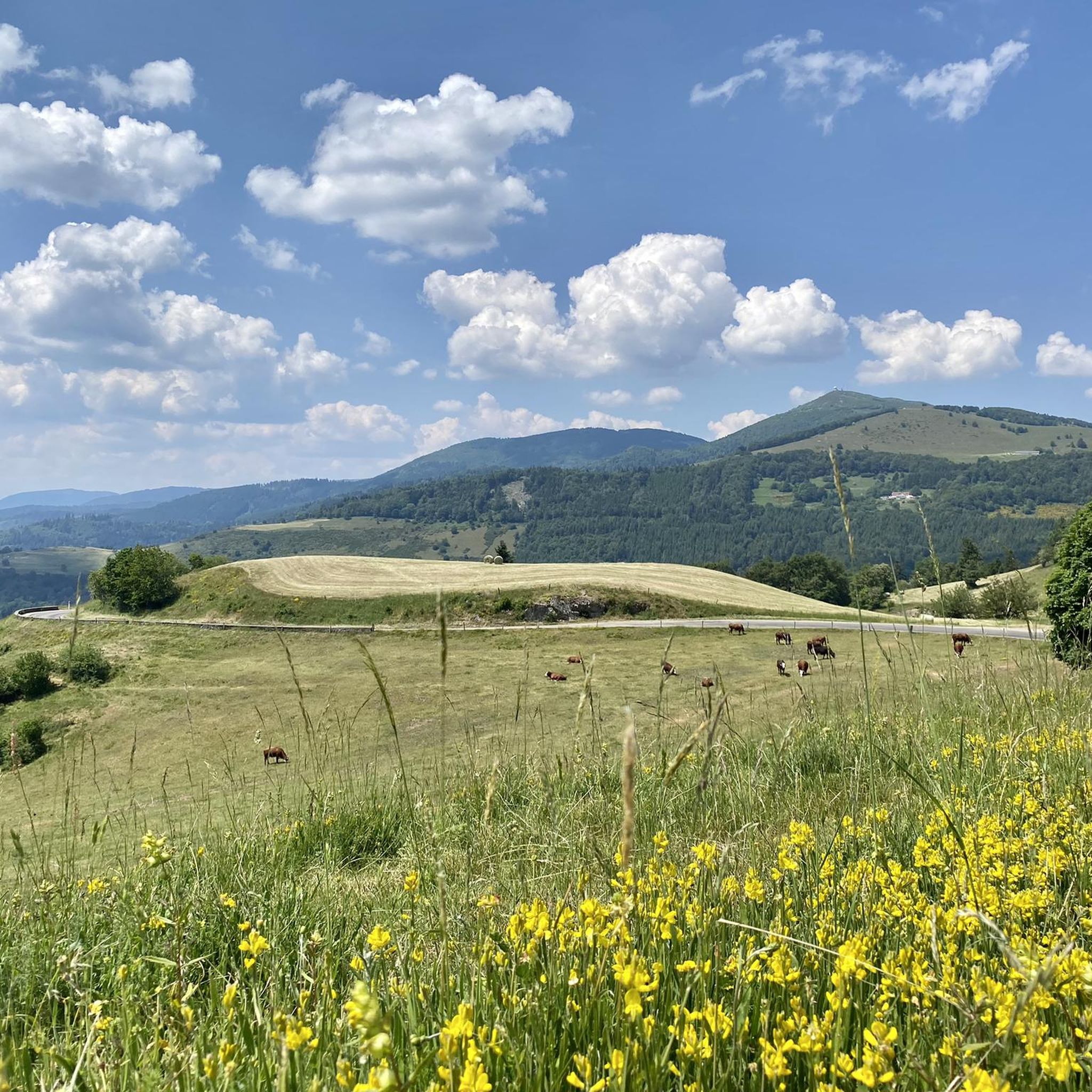
The Col du Hunsrück (748 m) is a quiet and wooded pass above Willer-sur-Thur. The steady climb and beautiful nature make this a pleasant classic in the southern Vosges, with connections to both the Thur and Dollervallei valleys.
6
0
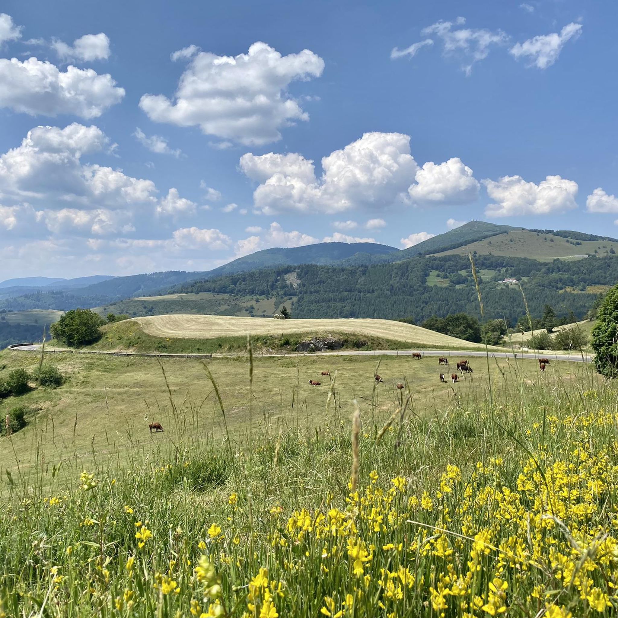
When you drive from the Route des Crêtes towards Le Grand Ballon, you pass the Col du Haag (1233 m) almost unnoticed. Yet, this pass marks a special point on the southern flank of the highest mountain in the Vosges. Here, steep roads from the Thurdal leave the wooded slopes and reach the open heights of the massif. From the col, a typical Vosges landscape unfolds with mountain meadows, scattered farms, and sweeping views. The proximity of the Grand Ballon is felt everywhere: the imposing summit towers above the pass and forms the natural goal of the final climbing kilometers. For cyclists, the Col du Haag is mainly known as the point where difficult climbs from the valleys converge before the road continues to rise to the highest point of the Vosges.
6
0
Le Markstein (1184 m) is meer dan alleen een kruispunt op de Route des Crêtes. Het is echter een echte bergpas en het hoogste punt van de oversteek tussen het Lauch- en Thurdal. Het ligt in het hart van het Vogezenmassief, midden een populair wintersportgebied dat nauw verbonden is met de Grand Ballon
6
0
De Col van Hahnenbrunnen ligt op een open bergzadel in de Hoge Vogezen, tussen de Markstein‑kam en de Breitfirst. De pas bevindt zich rond 1180 meter hoogte en vormt een overgang tussen de bergweiden (chaumes) van de Route des Crêtes en de beboste hellingen die afdalen naar het dal van de Lauch. Het gebied is genoemd naar oude bergboerderijen (fermes d’altitude) die hier eeuwenlang vee hielden op de hooggelegen weiden.
6
0

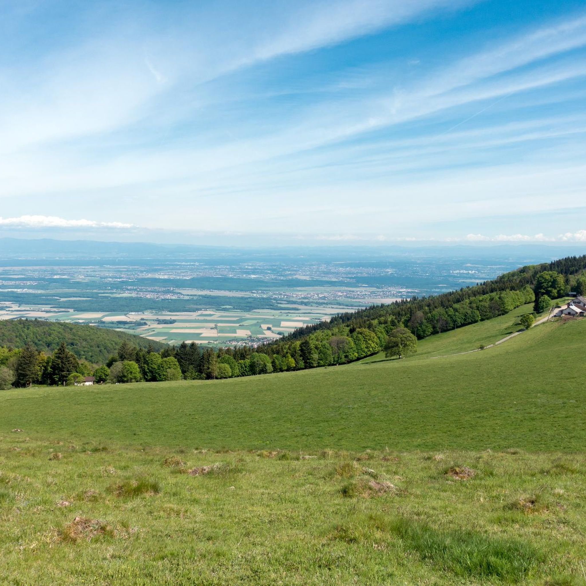
There is a very nice view over the Sondernach Valley.
0
0

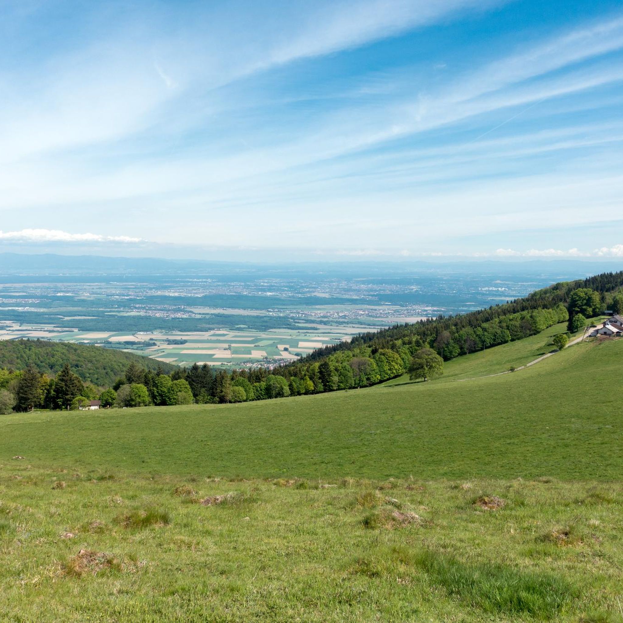
This is an amazing wild camping spot. I am sorry it didn't work for my trail but it is almost worth doing ti again just to sleep here...
0
0

Frequently Asked Questions
How many mountaineering routes are available around Weiler?
There are nearly 10 distinct mountaineering routes around Weiler, offering a variety of experiences from moderate to difficult. These routes are highly rated by the komoot community, with an average score of 4.3 stars.
What are the difficulty levels of mountaineering routes in Weiler?
The mountaineering routes around Weiler range from moderate to difficult. You'll find 6 moderate routes and 3 difficult routes, ensuring options for various skill levels. There are no easy routes listed for mountaineering in this area.
Are there any family-friendly mountaineering options near Weiler?
While the routes are generally moderate to difficult, some shorter moderate loops might be suitable for families with older, experienced children. For instance, the Grand Ballon – Panoramic view from the Grand Ballon summit loop from Col du Grand Ballon is a moderate 2.5-mile (4 km) trail that offers stunning views without extreme length.
What kind of views can I expect on mountaineering routes around Weiler?
Mountaineering routes around Weiler are renowned for their panoramic summit views and scenic mountain passes. Prominent peaks like Grand Ballon offer expansive vistas, and routes such as the Hundsruck Pass – Panoramic view loop from Bourbach-le-Haut provide extensive scenic outlooks across the region.
Are there circular mountaineering routes in the Weiler area?
Yes, many of the mountaineering routes around Weiler are designed as circular loops. Examples include the Grand Ballon – Panoramic view from the Grand Ballon summit loop from Grand Ballon and the Markstein – Lake Lauch loop from Le Markstein, which takes you past scenic Lake Lauch.
What are some notable natural features or landmarks to see along the routes?
The region boasts diverse natural features. You can encounter scenic lakes like Neuweiher Lake, which is part of the Markstein – Lake Lauch loop from Le Markstein. The area also features interesting rock formations and historical sites, such as the Adlerhorst Command Post – World War I.
Are there any huts or places to stop for refreshments along the trails?
Yes, you'll find several huts and farm inns in the vicinity of the mountaineering routes. Notable options include Haag Farm, the Grand Ballon Chalet Hotel, and Gresson Moyen Farm Inn, offering opportunities for rest and refreshments.
What is the best time of year for mountaineering around Weiler?
The best time for mountaineering around Weiler is typically from late spring through early autumn (May to October) when the weather is more stable and trails are clear of snow. However, conditions can vary, especially at higher elevations like Grand Ballon, so always check local forecasts before heading out.
Are there any challenging routes for experienced mountaineers?
Absolutely. For experienced mountaineers seeking a challenge, the Hundsruck Pass – Vogelstein (Bird Rock) loop from Willer-sur-Thur is a difficult 16.6-mile (26.8 km) route with significant elevation gain, offering a demanding and rewarding experience.
What do other mountaineers enjoy most about the Weiler region?
The komoot community highly rates the mountaineering in Weiler, with an average score of 4.3 stars. Reviewers often praise the diverse mountainous terrain, the extensive panoramic views from summits and passes, and the variety of routes that include scenic lakes and historical points of interest.
Are there any historical sites or points of interest near the mountaineering trails?
Yes, the area around Weiler is rich in history. You can explore sites such as the Adlerhorst Command Post – World War I and the Veilchenstein German WW1 Bunker, offering a glimpse into the region's past amidst your mountaineering adventures.
Most popular attractions around Weiler

Get inspired with the komoot mobile app


Explore more
Browse the best Mountain Hikes & Routes in other regions.
