The best running trails around Montbonnot-Saint-Martin
4.4
(13)
1,151
runners
40
runs
Jogging routes around Montbonnot-Saint-Martin offer diverse landscapes and natural features. The region is situated near the Chartreuse massif, providing a backdrop of mountain ranges and varied terrain. Runners can find trails with significant elevation changes, as well as flatter paths through valleys. This area provides options for both challenging and more relaxed running experiences.
Best jogging routes around Montbonnot-Saint-Martin
- The most popular jogging route is Chemin des Agriculteurs – Between Lake and River loop from Montbonnot-Saint-Martin, a 7.8 miles…
Last updated: July 10, 2026
5.0
(2)
270
runners
Hard run. Good fitness required. Sure-footedness, sturdy shoes and alpine experience required.
24
runners
11.7km
01:16
50m
50m
Hard run. Good fitness required. Sure-footedness, sturdy shoes and alpine experience required.

Sign up for free
34
runners
11.7km
01:14
60m
60m
Moderate run. Good fitness required. Mostly paved surfaces. Suitable for all skill levels.
18
runners
8.68km
00:55
70m
70m
Moderate run. Good fitness required. Mostly paved surfaces. Suitable for all skill levels.
11
runners
12.2km
01:19
60m
60m
Hard run. Good fitness required. Sure-footedness, sturdy shoes and alpine experience required.
Get access to more routes and recommendations from other explorers.
Sign up for free
Already have an account?
Our route recommendations are based on thousands of hikes, rides, and runs completed by other people on komoot.
Start today with a free account
Your next adventure awaits.
Login or Signup
Tips from the Community

This is one of the most beautiful sections of the Drac and Isère greenways around Grenoble. In spring, it smells of hay, I love it.
0
0

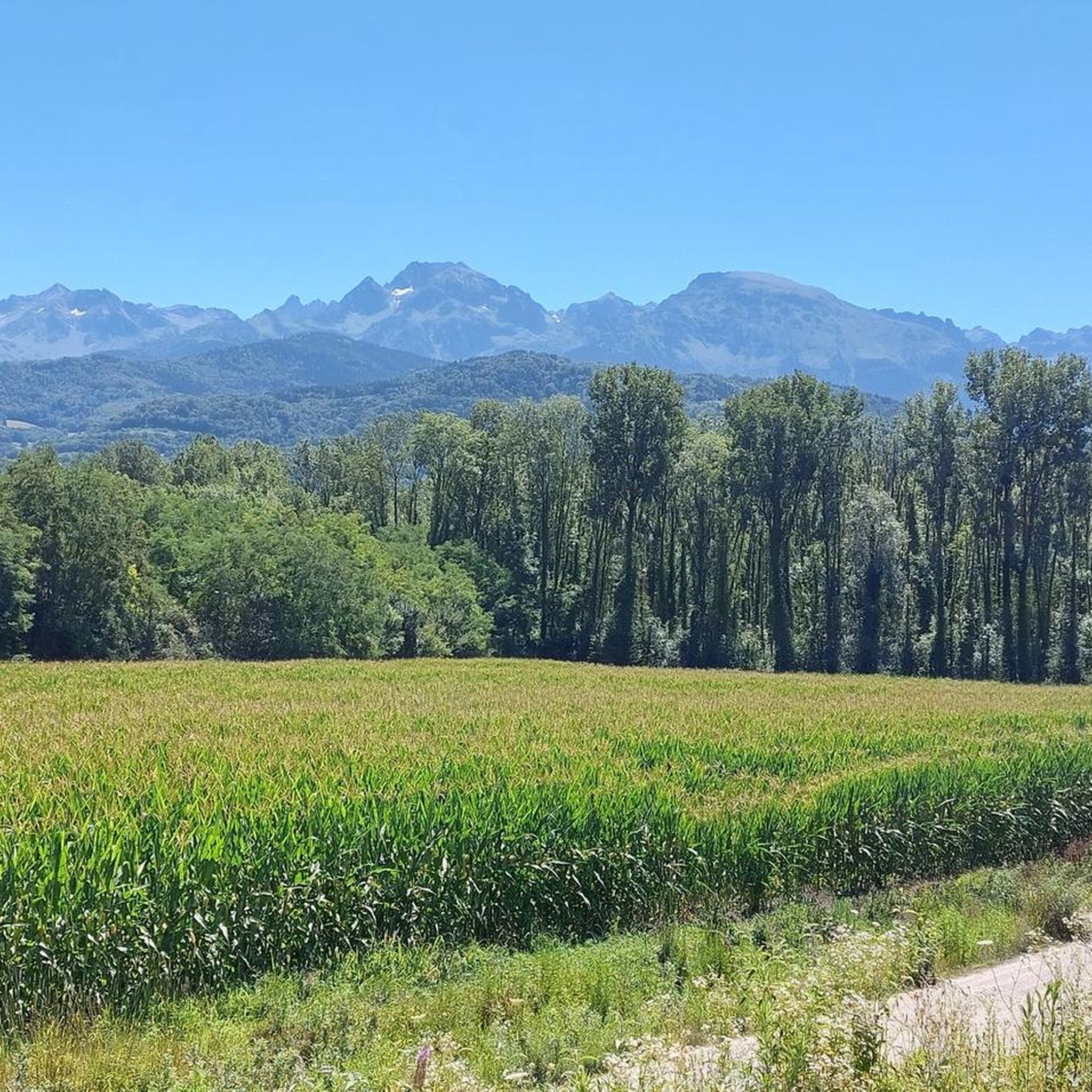
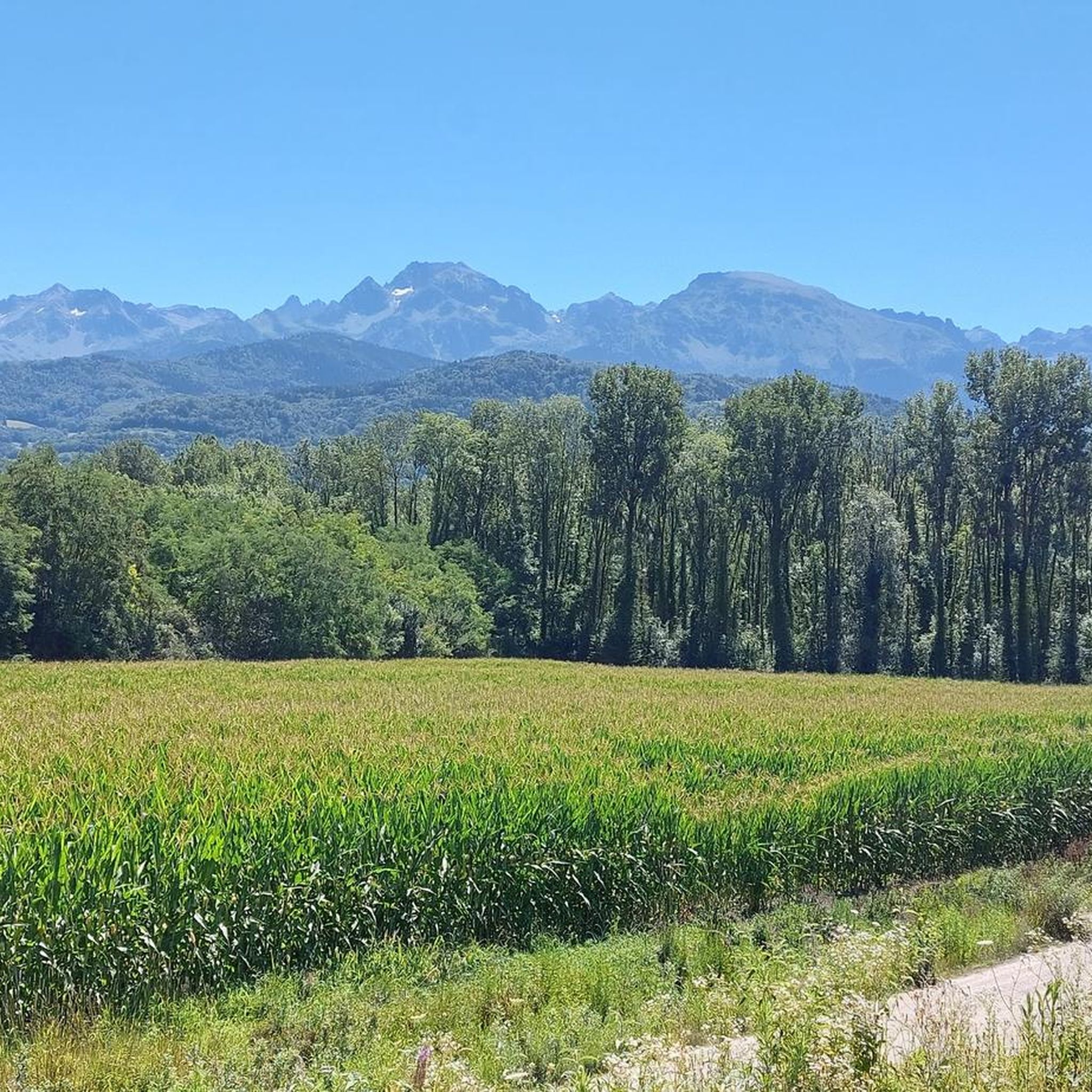
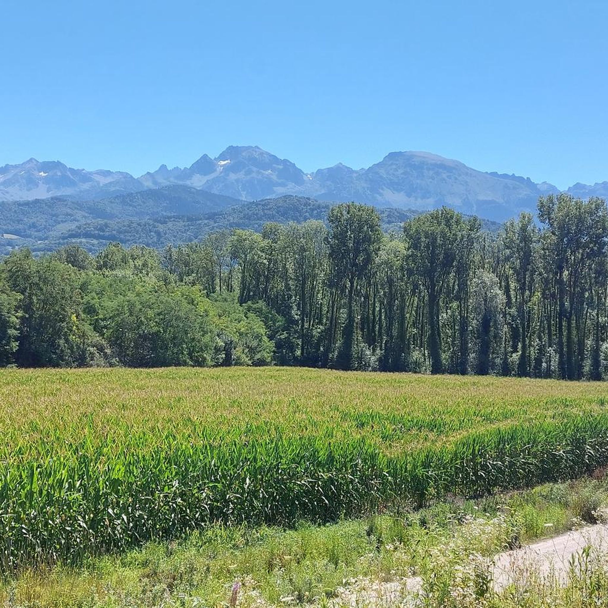
Nice agricultural path to take full throttle in gravel :) Best season while the corn is not mown and under the sun offcourse. Seen on the Chartreuse buttress cliff and mosquito bites towards the ponds if you are too slow!
0
0
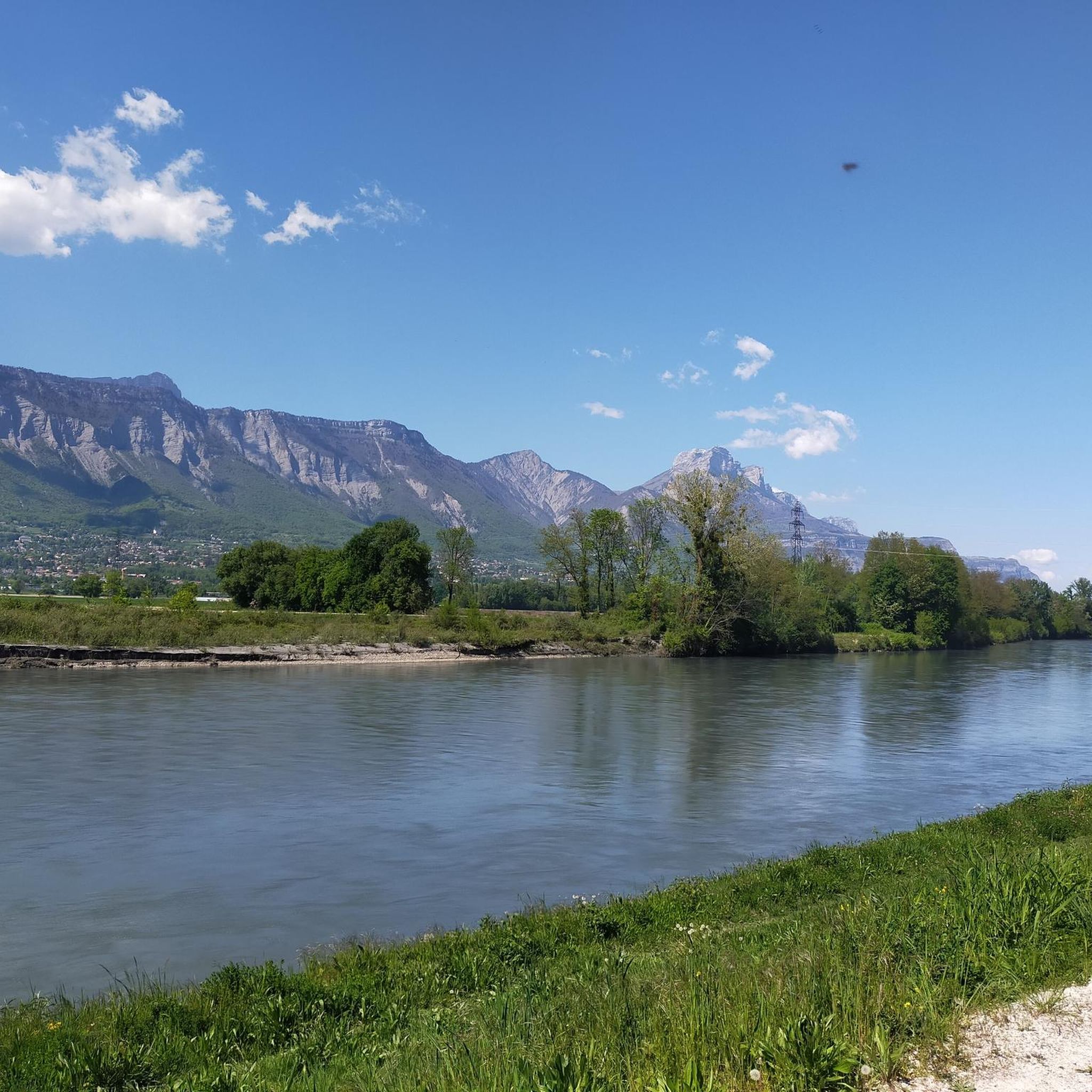
Beautiful asphalt along the river with a nice view of the Belledonne massif. ideal for flat walks with the family or more muscular training (high attendance at work and Sunday schedules).
4
1
Frequently Asked Questions
How many running routes are available around Montbonnot-Saint-Martin?
The Montbonnot-Saint-Martin area offers a wide selection of running trails, with over 40 routes documented on komoot. These range from easy paths to more challenging mountain runs, catering to various fitness levels.
What do other runners say about the trails in Montbonnot-Saint-Martin?
The running routes in Montbonnot-Saint-Martin are highly regarded by the komoot community, boasting an average rating of 4.5 stars from over 10 reviews. More than 1000 runners have explored the diverse terrain, often praising the scenic beauty and varied landscapes near the Chartreuse massif.
Are there running trails suitable for beginners in Montbonnot-Saint-Martin?
Yes, beginners can find suitable running routes. While many trails offer elevation, there are options like sections of the "Chemin des Agriculteurs" loops that are mostly paved and suitable for all skill levels. The region has 2 easy routes and 21 moderate routes, providing a good starting point.
What kind of challenges can advanced runners find in the Montbonnot-Saint-Martin area?
Advanced runners seeking a challenge will appreciate the proximity to the Chartreuse massif. The region offers 19 difficult routes, with significant elevation changes and technical sections. For instance, trails around peaks like Chamechaude or the ascent to Col de Porte provide strenuous climbs and breathtaking panoramic views.
How long are the running routes typically in Montbonnot-Saint-Martin?
Running routes in Montbonnot-Saint-Martin vary in length to suit different preferences. You can find shorter paths around 4 miles (6.7 km), such as the Chemin des Agriculteurs loop from Domène, up to longer trails like the Chemin des Agriculteurs – Between Lake and River loop from Montbonnot-Saint-Martin, which is about 7.8 miles (12.6 km).
Are there dog-friendly running routes in Montbonnot-Saint-Martin?
Many outdoor trails in the Montbonnot-Saint-Martin region are generally dog-friendly, especially those away from protected wildlife areas or private land. It's always advisable to keep dogs on a leash and check local signage for any specific restrictions, particularly in more sensitive natural environments.
Can families enjoy running trails around Montbonnot-Saint-Martin?
Yes, families can certainly enjoy running in the area. There are easier, less strenuous sections of trails, particularly those that are mostly paved, which are suitable for a family outing. Look for routes with minimal elevation gain for a more relaxed experience.
Are there scenic running paths in Montbonnot-Saint-Martin?
Absolutely. The region is renowned for its scenic beauty, with the majestic Chartreuse massif providing a dramatic backdrop. Routes like the Bucolic Path loop from Montbonnot-Saint-Martin offer picturesque views through varied terrain, allowing runners to immerse themselves in the natural landscape and the Grésivaudan valley.
Are there circular running routes available in the area?
Yes, many of the running routes around Montbonnot-Saint-Martin are designed as circular loops, making them convenient for starting and ending at the same point. Examples include the Chemin des Agriculteurs loop from Montbonnot-Saint-Martin and the Maupertuis Castle loop from Montbonnot-Saint-Martin.
What natural landmarks can I see while running near Montbonnot-Saint-Martin?
The region is rich with natural landmarks. You'll be running near the stunning Chartreuse massif. Notable peaks include Chamechaude, the highest point of the massif, and Dent de Crolles. Several mountain passes like Col de Porte also offer challenging routes and expansive views.
Are there options for long-distance running trails in Montbonnot-Saint-Martin?
For those looking for longer distances, the network of trails around Montbonnot-Saint-Martin can be combined or extended. While individual listed routes might be up to 12.6 km, the diverse terrain of the Chartreuse massif allows for creating longer, more enduring runs, especially for experienced trail runners.
Is public transport available to access running paths in Montbonnot-Saint-Martin?
Montbonnot-Saint-Martin is well-connected to Grenoble, and local bus services operate in the area. While specific bus stops directly at trailheads might vary, public transport can often get you close to starting points for many running routes, especially those originating from the town center or nearby villages.
Are there any less crowded jogging trails in Montbonnot-Saint-Martin?
To find less crowded trails, consider exploring routes during off-peak hours or venturing into the more challenging sections of the Chartreuse massif. While popular loops like the "Chemin des Agriculteurs" can see more activity, the extensive network means you can often find quieter paths, especially on weekdays or early mornings.
Most popular routes around Montbonnot-Saint-Martin
Most popular attractions around Montbonnot-Saint-Martin

Get inspired with the komoot mobile app


Explore more
Browse the best Running Trails & Routes in other regions.
