The best cycling routes around Wegscheid
4.4
(475)
9,501
riders
214
rides
Touring cycling around Wegscheid features a landscape characterized by river valleys, elevated passes, and reservoirs, providing varied terrain for cyclists. The region includes routes that traverse both open areas and sections near water bodies like Alfeld Lake and the Thur River. Elevation changes are present, with some routes ascending to mountain passes. The area offers a mix of flat sections and climbs, suitable for different levels of touring cycling.
Best touring cycling routes around Wegscheid
- The most popular touring cycling…
Last updated: October 8, 2026
3.0
(1)
79
riders
31.3km
02:21
730m
730m
Hard bike ride. Very good fitness required. Mostly paved surfaces. Suitable for all skill levels.
4.0
(2)
31
riders
31.6km
02:18
680m
680m
Hard bike ride. Very good fitness required. Mostly paved surfaces. Suitable for all skill levels.

3.3
(3)
26
riders
56.5km
03:14
240m
240m
Moderate bike ride. Good fitness required. Mostly paved surfaces. Suitable for all skill levels.
11
riders
28.4km
01:59
510m
510m
Hard bike ride. Very good fitness required. Mostly paved surfaces. Suitable for all skill levels.
9
riders
29.4km
02:29
870m
870m
Hard bike ride. Very good fitness required. Mostly paved surfaces. Suitable for all skill levels.
Get access to more routes and recommendations from other explorers.
Already have an account?
Our route recommendations are based on thousands of hikes, rides, and runs completed by other people on komoot.
Start today with a free account
Your next adventure awaits.


Tips from the Community

The Églises Saint-Martin (Sint-Martinuskerk) in Masevaux is a historic, neoclassical church in Alsace. The church is particularly known for its impressive organ history and the annual international organ festival
4
0
A small mountain pass and an important milestone on the climb to the Ballon d'Alsace. From here, the summit is only three kilometers away. 🚴♂️
4
0
Een schilderachtig stuwmeer langs de beklimming van de Ballon d'Alsace, omringd door de beboste hellingen van de Vogezen. 🚴⛰️🌲
5
0
A picturesque mountain lake at the foot of the Ballon d'Alsace, surrounded by forests and steep slopes. 🚴♂️🏞️⛰️
4
0
Een karakteristieke dorpskerk met opvallende torenspits en ommuurde begraafplaats, gelegen in het centrum van Sewen.
4
0
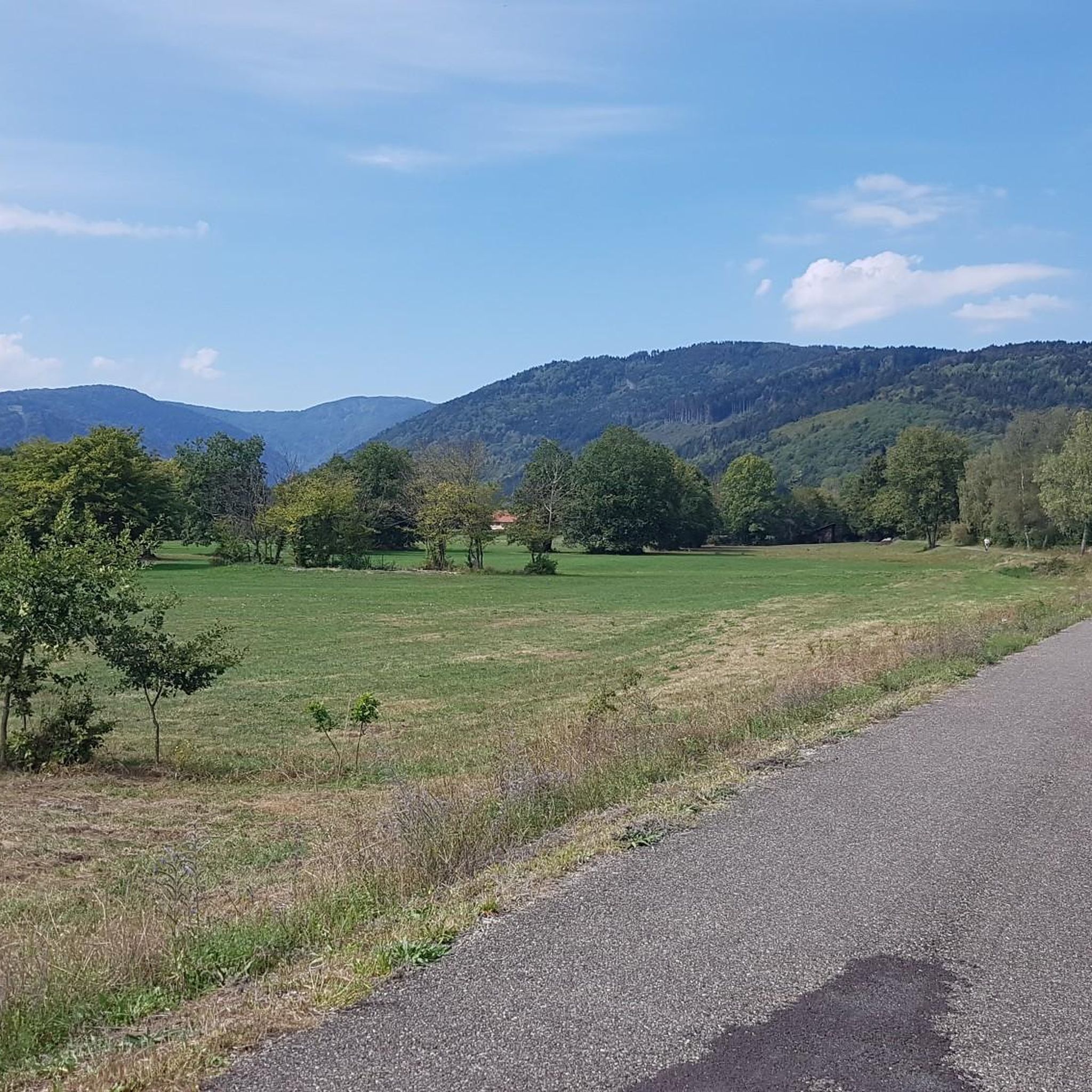
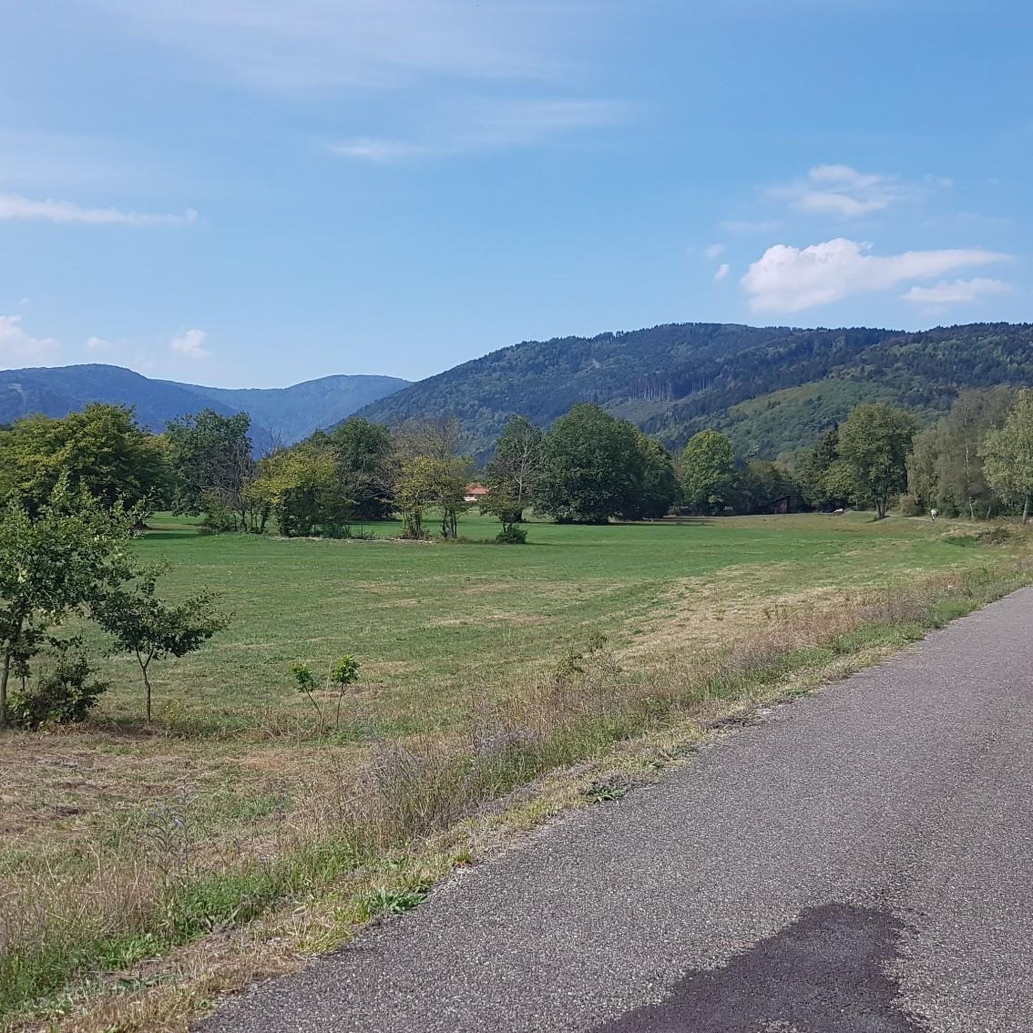
From the Doller cycle path, you can enjoy a beautiful view over Dolleren towards the striking slopes and the former ski run of Spickelsberg.
3
0
The Col du Hunsrück (748 m) is a quiet and wooded pass above Willer-sur-Thur. The steady climb and beautiful nature make this a pleasant classic in the southern Vosges, with connections to both the Thur and Dollervallei valleys.
4
0

Bahnhof Burnhaupt-le-Haut The Bahnhof Burnhaupt-le-Haut is located on the former railway line from Cernay to Sewen, which led through the Dollertal. The line was built in the 19th century and was of great importance for passenger and freight transport in the region. During the First World War, the station gained particular strategic importance. Burnhaupt was located immediately behind or close to the front line between German and French troops. The railway was used to transport soldiers, weapons, ammunition, and other supplies. Due to the fighting, the station was heavily damaged. After the war, the station building was rebuilt between 1921 and 1923. A building typical of the region with elements of Alsatian architecture was created. The station has largely been preserved to this day and serves as a reminder of the importance of the railway for the region's development and the destruction of the First World War. Regular passenger service on the line was discontinued in 1967, and the line was later closed. Part of the former railway line is now operated as a museum railway by Train Thur Doller Alsace. Historic locomotives and wagons run on the line through the Dollertal, making the history of the railway tangible for visitors. The Bahnhof Burnhaupt-le-Haut is therefore not only a former transport hub, but also a historic site where the history of the region, the railway, and the First World War converge. Further information and historical photos: Train Thur Doller Alsace – Bahnhof Burnhaupt
0
0
Frequently Asked Questions
How many touring cycling routes are available around Wegscheid?
There are over 200 touring cycling routes around Wegscheid. This includes 38 easy routes, 73 moderate routes, and 96 difficult routes, ensuring options for various skill levels and preferences.
What is the typical difficulty level of touring cycling routes in Wegscheid?
Wegscheid offers a diverse range of routes. You'll find a good mix of challenges, with 38 easy routes perfect for beginners or a relaxed ride, 73 moderate routes for those seeking a bit more effort, and 96 difficult routes that often include significant elevation gains, such as the Alfeld Lake – Ballon d'Alsace Pass loop from Dolleren.
Are there family-friendly touring cycling routes in Wegscheid?
Yes, Wegscheid has 38 easy touring cycling routes that are generally suitable for families or those looking for a less strenuous ride. These routes often feature flatter sections, particularly those following river valleys or around reservoirs, providing a pleasant experience for all ages.
What kind of scenery can I expect on touring cycling routes around Wegscheid?
The landscape around Wegscheid is characterized by picturesque river valleys, elevated mountain passes, and serene reservoirs. You'll cycle through open areas, alongside water bodies like Alfeld Lake, and along the Thur River, offering varied views. Routes like The Thur – Thur River loop from Niederbruck provide scenic views of the valley.
Are there any circular touring cycling routes in the Wegscheid area?
Yes, many of the touring cycling routes around Wegscheid are designed as loops, allowing you to start and finish at the same point. Examples include the challenging Hundsruck Pass – Hundsruck Pass loop from Oberbruck and the moderate Michelbach Reservoir – Sentheim station loop from Sickert.
What are some notable natural attractions or landmarks to see while cycling?
While cycling around Wegscheid, you can explore several natural attractions. The region is home to beautiful waterfalls like the Rummel Waterfalls and Bubalafels Waterfall. You can also visit stunning lakes such as Lake Alfeld and Lac des Perches (Star Lake), which often feature scenic viewpoints like the View of Lac des Perches.
What do other touring cyclists say about the routes in Wegscheid?
The touring cycling routes in Wegscheid are highly regarded by the komoot community, holding an average rating of 4.4 stars from over 350 reviews. Cyclists often praise the varied terrain, from river valleys to mountain passes, and the well-maintained paths that make for an enjoyable experience.
When is the best time of year to go touring cycling in Wegscheid?
The best time for touring cycling in Wegscheid is typically from spring through autumn. During these seasons, the weather is generally mild and pleasant, making for ideal conditions to explore the region's river valleys, reservoirs, and mountain passes. Winter cycling can be challenging due to colder temperatures and potential snow, especially at higher elevations.
Are there any routes that offer a mix of flat sections and climbs?
Yes, many routes in Wegscheid provide a balanced experience with both flat sections and climbs. The region's topography, featuring river valleys and elevated passes, naturally creates this variety. For example, the Michelbach Reservoir – A beautiful place... loop from Sickert offers a moderate challenge with some elevation changes.
Is it possible to access touring cycling trails in Wegscheid using public transport?
While specific public transport connections to every trailhead can vary, many towns and villages in the region, which serve as starting points for routes, are accessible by local bus services. It's advisable to check local transport schedules for the specific starting point of your chosen route to plan your journey effectively.
Are there options for advanced touring cyclists seeking a challenge?
Absolutely. Wegscheid offers 96 difficult touring cycling routes designed for advanced cyclists. These routes often feature significant elevation gains and challenging terrain, such as those that traverse mountain passes like the Ballon d'Alsace Pass. The Alfeld Lake – Ballon d'Alsace Pass loop from Dolleren is a prime example of a demanding route.
Most popular routes around Wegscheid
Most popular attractions around Wegscheid

Get inspired with the komoot mobile app


Explore more
Browse the best Cycling routes in other regions.
