The best road cycling routes around Dolleren
4.5
(216)
8,227
riders
74
rides
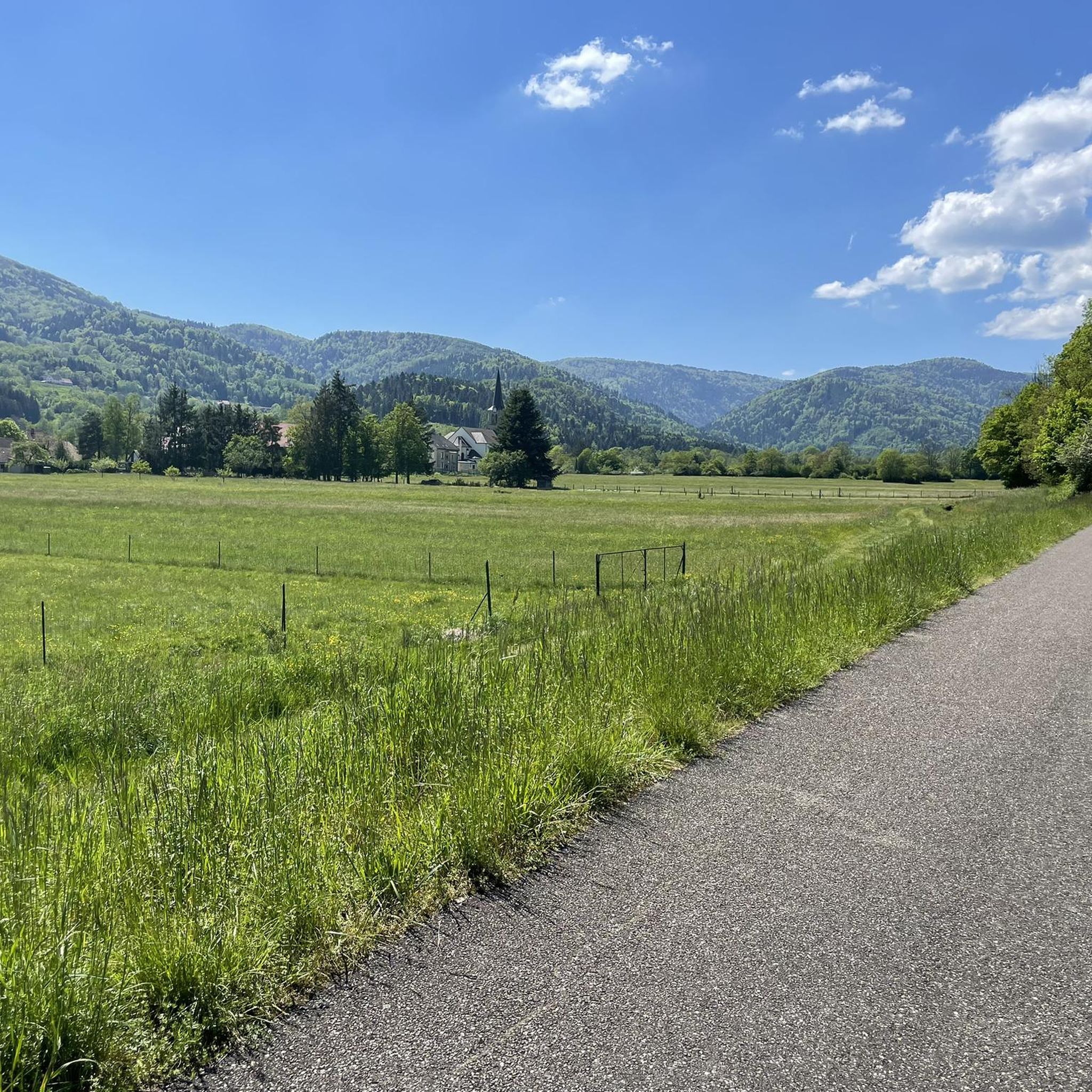
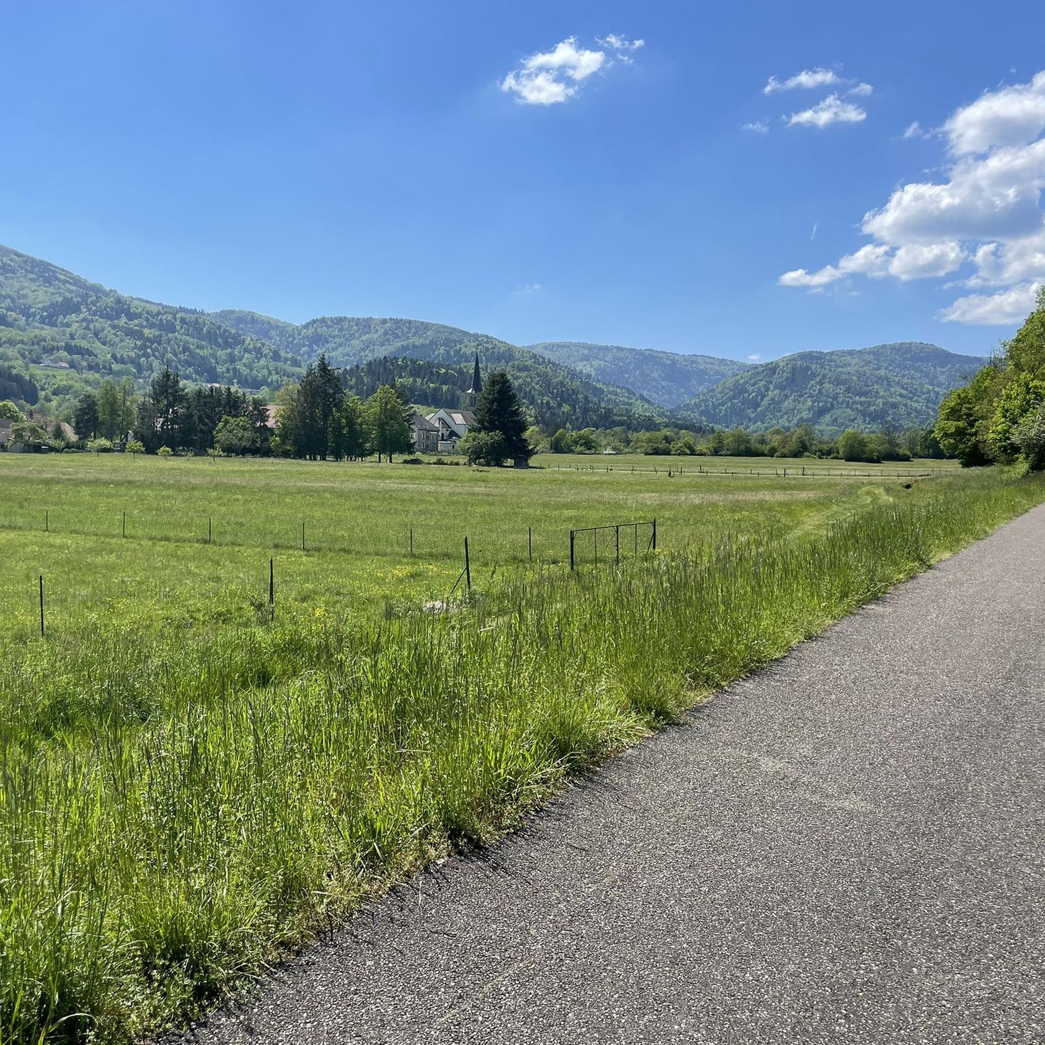
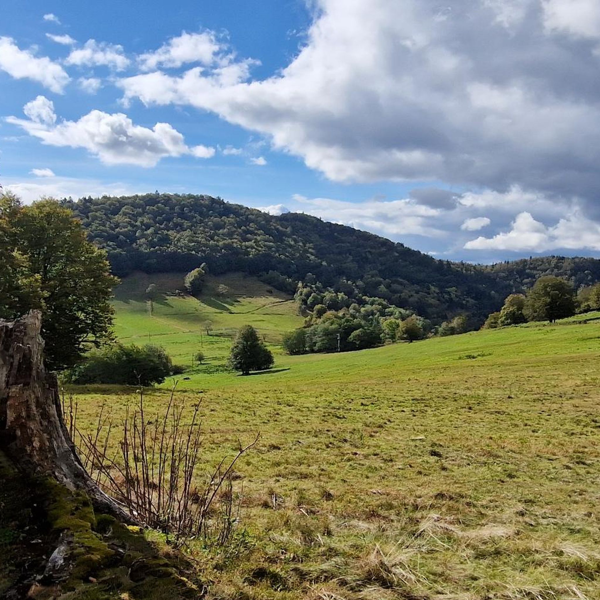
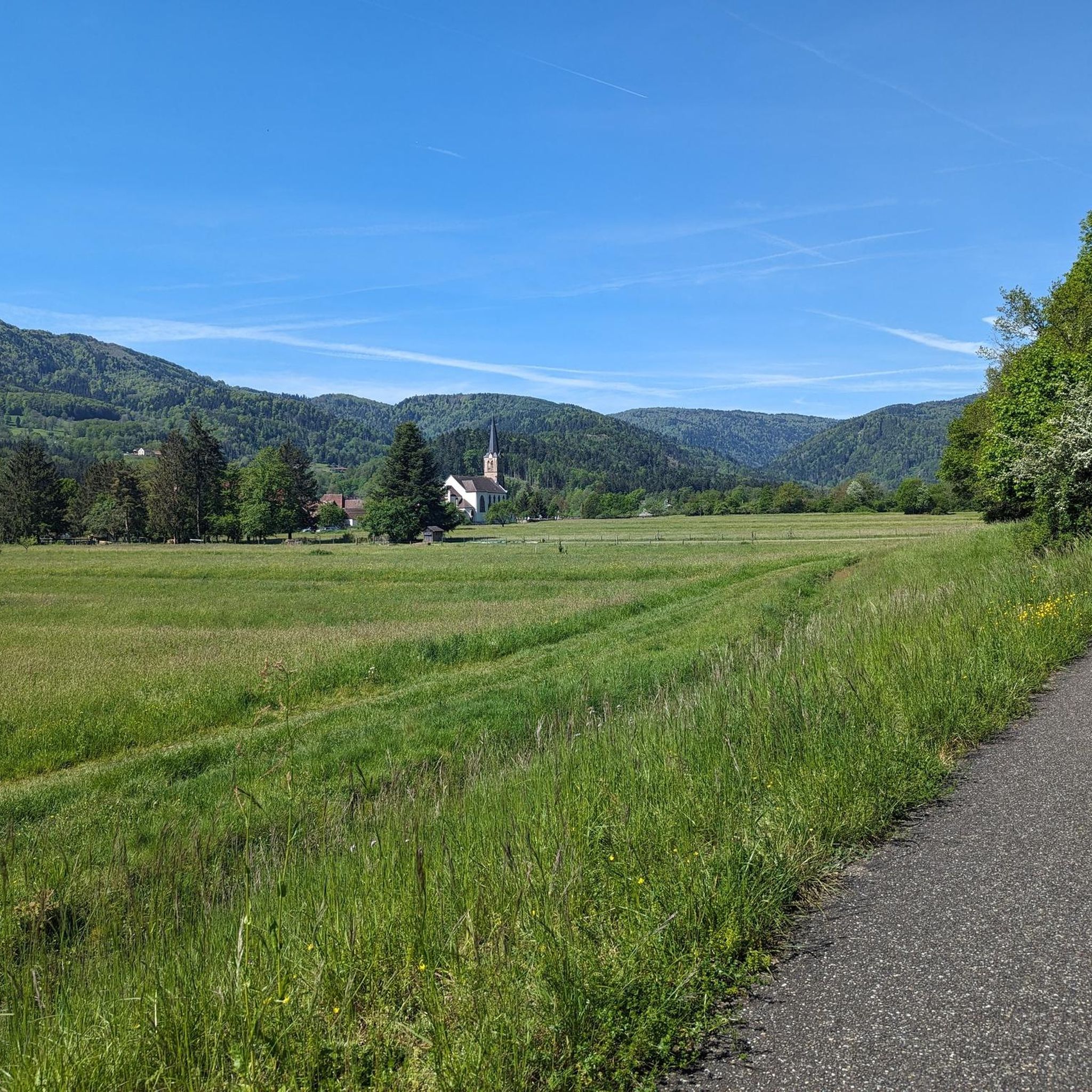
Road cycling around Dolleren, situated in the southernmost valley of the Massif des Vosges, offers diverse terrain for cyclists. The region features a network of mostly paved routes that traverse the verdant Doller Valley, incorporating both gentle stretches and significant ascents into the Vosges mountains. Cyclists can expect varied elevation profiles, with routes passing by natural features such as lakes and rivers. The landscape combines open meadows with forested areas, providing a range of scenic backdrops for road cycling routes.
…Last updated: July 6, 2026
5.0
(2)
124
riders
98.8km
04:45
1,390m
1,390m
Hard road ride. Very good fitness required. Mostly well-paved surfaces and easy to ride.
5.0
(1)
69
riders
66.0km
02:52
550m
550m
Moderate road ride. Good fitness required. Mostly well-paved surfaces and easy to ride.

Sign up for free
5.0
(2)
46
riders
47.4km
01:59
280m
280m
Moderate road ride. Great for any fitness level. Some segments of this route may be unpaved and difficult to ride.
4.9
(8)
28
riders
18.1km
00:44
100m
100m
Easy road ride. Great for any fitness level. Mostly well-paved surfaces and easy to ride.
24
riders
32.1km
01:40
550m
550m
Moderate road ride. Good fitness required. Mostly well-paved surfaces and easy to ride.
Get access to more routes and recommendations from other explorers.
Sign up for free
Already have an account?
Our route recommendations are based on thousands of hikes, rides, and runs completed by other people on komoot.
Start today with a free account
Your next adventure awaits.
Login or Signup


Tips from the Community

Very nice cycle path along an old railway line.
1
0

A perfect bike path with the best asphalt. What more could you want?
1
0

https://www.train-doller.org/ Information and travel times.
6
0

Burnhaupt station is now the operational centre of the Dollertalbahn in Upper Alsace, which is operated as a museum line by the TTDA (Train-Thur-Doller-Alsace) association. It dates back to the 1920s, after the original station was destroyed in a French offensive in the First World War. 2013-12-08 Burnhaupt
3
0

Excellent pastry shop/chocolatier. Worth a quick stop!
0
0


Section at 12-13% before arriving at the flat of the Planche des Belles Filles.
0
0
The first km is hard, more than 9% on average with sections at 13%.
0
0
Frequently Asked Questions
How many road cycling routes are available around Dolleren?
Dolleren offers a wide selection of road cycling routes, with over 60 options available. These routes cater to various fitness levels, including easy, moderate, and challenging rides through the diverse landscapes of the Massif des Vosges and the Doller Valley.
What is the best time of year for road cycling in Dolleren?
The region is generally best for road cycling during the warmer months, from spring through autumn. This period offers pleasant weather for exploring the verdant valleys, mountainous terrain, and picturesque villages. Winter conditions may include snow and ice, especially at higher elevations like the Ballon d'Alsace Pass, making cycling more challenging.
Are there road cycling routes suitable for beginners or families in Dolleren?
Yes, Dolleren has routes suitable for less experienced cyclists and families. The Doller Valley Cycle Route is particularly known for its green environment and family-friendly paths. An example of an easier route is the Fountain at Ballon d'Alsace loop from Sewen, which covers about 17.8 km with moderate elevation gain.
Where can I find more challenging road cycling routes with significant climbs?
For ambitious cyclists seeking strenuous rides, Dolleren provides routes with substantial elevation gains, often including ascents into the Vosges mountains. A challenging option is the Planche des Belles Filles – La Planche des Belles Filles loop from Sewen, which is nearly 100 km long and features over 1300 meters of climbing.
What natural features or landmarks can I see along road cycling routes in Dolleren?
Road cycling routes in Dolleren often pass by stunning natural features and landmarks. You can encounter lakes such as Lake Alfeld and Lake Michelbach, as well as the scenic Thur River. The routes also offer views of the Massif des Vosges and can lead to significant summits like Ballon d'Alsace and La Planche des Belles Filles. Additionally, you might discover beautiful waterfalls like the Rummel Waterfalls.
Are there any picturesque villages or historical sites to explore while cycling?
Yes, many routes wind through charming villages with notable churches, such as the chapel at Rammersmatt, offering glimpses into local culture. The area also has historical elements, with cycling paths sometimes following the tracks of the Thur-Doller tourist train line. Starting points like Thann are at the gateway to the Alsace Wine Route, allowing for rides through vineyards.
Is parking available near the road cycling routes in Dolleren?
While specific parking locations are not detailed for every route, many villages and trailheads in the Dolleren region offer public parking facilities. It's advisable to check local signage or use navigation apps for parking options near your chosen starting point.
Can I reach the starting points of road cycling routes by public transport?
Public transport options exist in the broader region. The mention of the Thur-Doller tourist train line suggests some connectivity, but direct access to all route starting points by public transport may vary. It's recommended to research specific public transport links to your desired starting location.
What do other road cyclists say about their experience in Dolleren?
The road cycling routes around Dolleren are highly regarded by the komoot community, boasting an average rating of 4.7 stars from over 200 reviews. More than 7,800 road cyclists have explored the area, often praising the varied terrain, from gentle valley rides to challenging mountain climbs, and the scenic beauty of the Vosges mountains and the Doller Valley.
Are there any circular road cycling routes in Dolleren?
Many of the road cycling routes in Dolleren are designed as loops, allowing cyclists to start and finish in the same location. Examples include the Étang du Malsaucy – Fountain at Ballon d'Alsace loop from Sewen and the Hundsruck Pass – Col du Schirm [FR-68-0605] loop from Oberbruck, providing convenient round trips.
Are there road cycling routes that pass by lakes or rivers?
Absolutely. The Dolleren region is rich in natural water features. The Burnhaupt Station – Lake Michelbach loop from Sewen is a great example, leading through the Doller Valley and past Lake Michelbach. Other routes incorporate the Thur River and offer views of lakes like Alfeld Lake.
Can I find long-distance road cycling routes in the Dolleren area?
Yes, Dolleren offers several longer-distance road cycling routes for those seeking extended rides. The Planche des Belles Filles – La Planche des Belles Filles loop from Sewen, at nearly 100 km, is a prime example of a route that provides a significant challenge and covers a substantial distance.
Most popular routes around Dolleren
Most popular attractions around Dolleren

Get inspired with the komoot mobile app


Explore more
Browse the best Road cycling routes in other regions.
