The best walks and hikes around Kirchberg
4.6
(1879)
10,575
hikers
21
hikes
Hiking around Kirchberg offers access to an extensive network of trails within the Kitzbühel Alps. The region features diverse landscapes, from the open Brixental valley with its alpine meadows and traditional farms to the tranquil Spertental valley. Terrain varies from lush green hills and fields to rugged peaks and cliffs, providing varied elevation profiles for hikers.
Best hiking trails around Kirchberg
- The most popular hiking route is Lochberg Pass (920 m) – Lac du Lachtelweier loop from Source de la…
Last updated: October 14, 2026
4.8
(25)
71
hikers
6.71km
02:12
310m
330m
Moderate hike. Good fitness required. Easily-accessible paths. Suitable for all skill levels.
4.5
(4)
24
hikers
11.8km
03:58
570m
570m
Moderate hike. Good fitness required. Easily-accessible paths. Suitable for all skill levels.

4.5
(2)
25
hikers
3.29km
00:59
100m
100m
Easy hike. Great for any fitness level. Easily-accessible paths. Suitable for all skill levels.
4.5
(2)
20
hikers
Easy hike. Great for any fitness level. Easily-accessible paths. Suitable for all skill levels.
5.0
(1)
11
hikers
Easy hike. Great for any fitness level. Easily-accessible paths. Suitable for all skill levels.
Get access to more routes and recommendations from other explorers.
Already have an account?
Our route recommendations are based on thousands of hikes, rides, and runs completed by other people on komoot.
Start today with a free account
Your next adventure awaits.
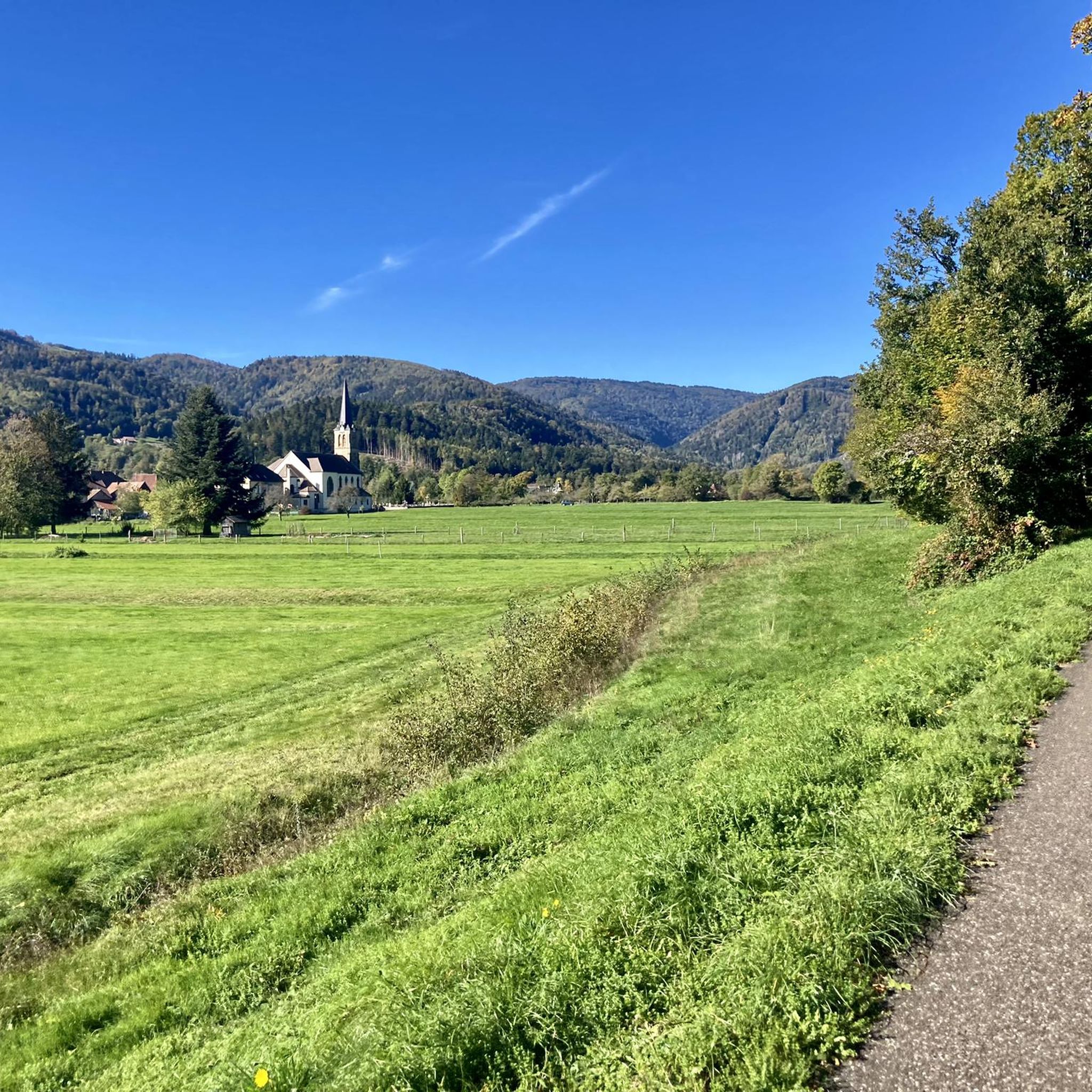
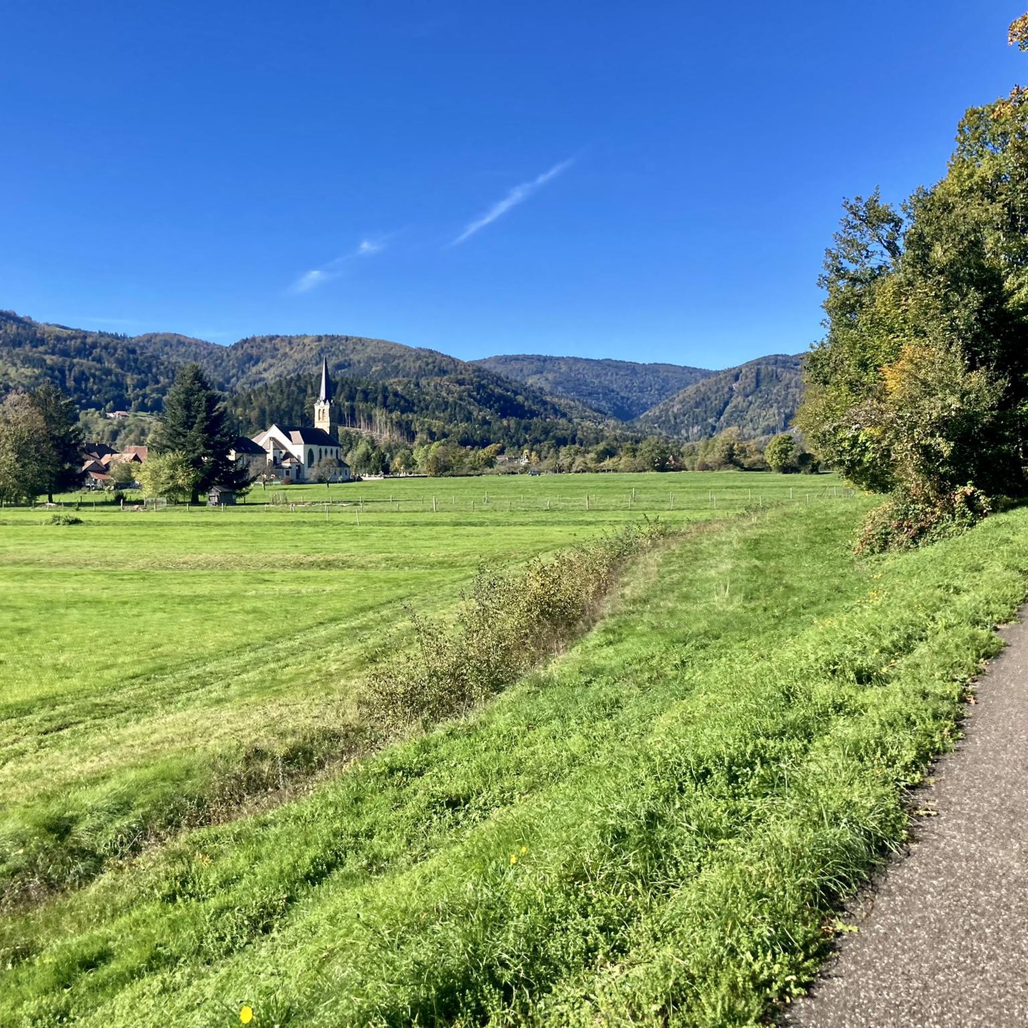
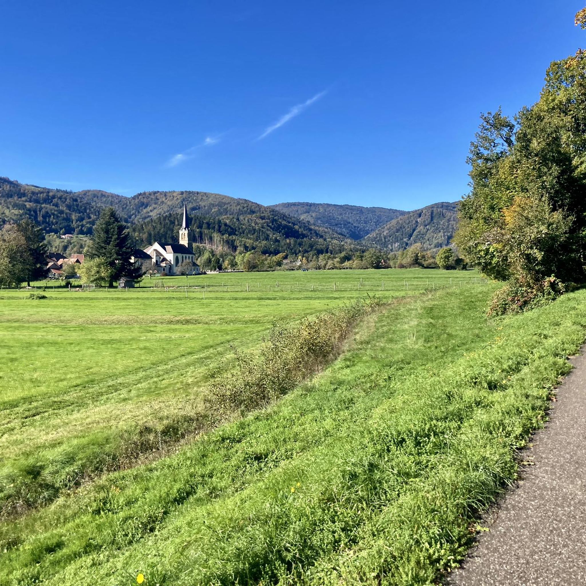
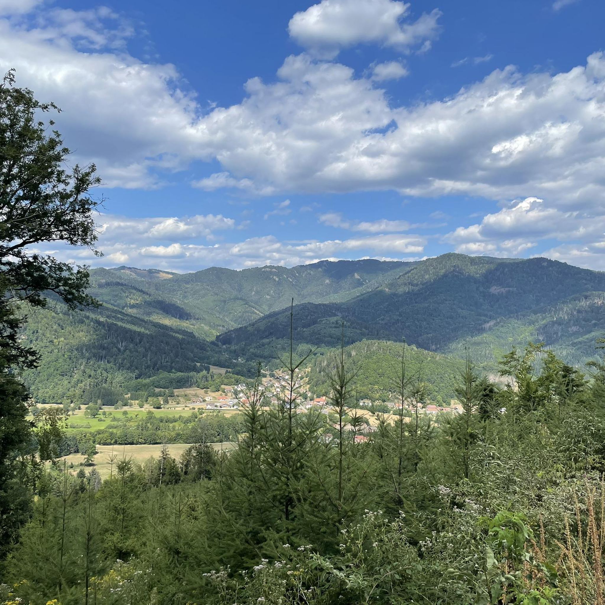


Tips from the Community

The Baerenkopf is a well-known summit in the Masevaux valley. Located on the wooded ridge around 1,000 meters that borders the Territoire de Belfort and Haut-Rhin, it nevertheless reveals a beautiful view of the valley, especially in the months when the vegetation is sparser. A refuge is located right next to it, in a slightly more open landscape.
1
0
The lake is located at 740 meters above sea level, just below the source of the Doller. It is accessible by car, with parking right next to it, and several farm inns are located in the surrounding area. It is a pleasant place for hiking in the Masevaux valley.
0
0
Above the Lachtelweiher lake, the Lochberg farm inn allows you to refuel with good dishes made from products from the farm. Its terrace offers a beautiful view of the valley. There is also a stele in memory of Francis Dollfus, who died skiing at this spot on January 13, 1935. E-MTB riders will also appreciate the charging station provided.
1
0

hut where you can stay overnight or rest after the climb from Sewen
0
0

the best blueberry pies with the option to charge bikes
0
0

The place is excellent at the end of the day, just before nightfall. Especially when spring arrives, when you can hear the birds whistling while the forest is still in winter mode.
1
0

Ferme-Inn open on weekends from 11 a.m., drinks and traditional meals served in the dining room and terrace.
1
1
At an altitude of 920 meters, the pass marks the border between the Haut-Rhin and the Territoire de Belfort.
0
0
Frequently Asked Questions
What types of hiking trails can I expect in Kirchberg?
Kirchberg, nestled in the Kitzbühel Alps, offers a wide variety of terrain. You'll find everything from lush green hills and fragrant fields in the Brixental valley to more rugged peaks and cliffs. The region boasts around 2,500 kilometers of trails, catering to all levels, from leisurely strolls through alpine meadows to demanding mountain ascents.
Are there easy hiking trails suitable for beginners or families in Kirchberg?
Yes, Kirchberg has plenty of easy trails. For instance, the Ferme-Auberge du Bruckenwald loop from Source de la Doller is an easy 3.3 km trail through forested areas, typically completed in under an hour. The region also features the Alpinolino Adventure Park, a themed hiking trail specifically designed for families with children, offering playful activities and educational insights.
What are some notable natural features or viewpoints to look out for while hiking?
The Kitzbühel Alps provide a stunning backdrop. You can hike to peaks like the Gaisberg (1,287 meters) for spectacular panoramic views over the Brixen Valley. Other notable summits include the Großer Rettenstein and Spießnägel. From certain vantage points, you might even catch views of the Großvenediger and other three-thousanders of the national park. The Spertental valley also offers a tranquil setting with its Kneipp Facility.
Are there any challenging routes for experienced hikers?
Absolutely. While many trails are moderate, Kirchberg also offers demanding mountain tours for experienced alpinists. Peaks like the Großer Rettenstein (2,366 meters) and Spießnägel (1,881 meters) provide more challenging routes. Overall, there are 3 difficult routes available in the area for those seeking a greater challenge.
What is the best time of year to go hiking in Kirchberg?
Spring and summer are particularly beautiful, with nature in full splendor and flowering alpine meadows. Autumn also offers a special atmosphere with colorful foliage. The region's diverse terrain promises incredible hiking experiences throughout these seasons.
Are there circular hiking trails available in Kirchberg?
Yes, many trails in Kirchberg are designed as loops. For example, the Lochberg Pass (920 m) – Lac du Lachtelweier loop from Source de la Doller is a moderate 6 km circular route. Another option is the Sommerseite shelter – Lochberg Pass (920 m) loop from Lamadeleine-Val-des-Anges, which is an 8.5 km moderate loop.
What do other hikers say about the trails in Kirchberg?
The routes in Kirchberg are highly rated by the komoot community, with an average score of 4.6 stars from over 1,600 reviews. More than 10,000 hikers have used komoot to explore Kirchberg's varied terrain, often praising the diverse landscapes and well-maintained paths.
Are there places to rest or get refreshments along the hiking trails?
Yes, the region is dotted with idyllic alpine huts, providing perfect resting spots amidst fresh mountain air. You'll find places like the Gresson Moyen Farm Inn or the Schahling Chalet, offering opportunities for a break and refreshments.
Can I reach higher starting points for hikes using cable cars?
Yes, the Kitzbühel Alps Summer Card provides access to 37 summer cable cars in the Kitzbühel Alps, making it easier to reach higher starting points for your hikes and explore more elevated terrain without extensive initial ascents.
Are there any specific landmarks or points of interest near the hiking routes?
Beyond the stunning mountain peaks, you can explore natural features like Neuweiher Lake. The Gaisberg itself is a popular photo motif, often pictured with the local parish church in the foreground. The Spertental Kneipp Facility also offers a unique refreshing stop.
How many hiking routes are available in the Kirchberg area?
There are over 20 hiking routes available in the Kirchberg area, offering a diverse range of experiences from easy walks to challenging mountain tours.
Most popular routes around Kirchberg
Most popular attractions around Kirchberg

Get inspired with the komoot mobile app


Explore more
Browse the best Hikes in other regions.
