The best walks and hikes around Serra-Di-Fiumorbo
4.4
(529)
4,970
hikers
16
hikes
Hiking around Serra-Di-Fiumorbo offers diverse natural landscapes, including fir, beech, and Lariccio pine forests, alongside unique chestnut groves. The region features distinctive "pozzi," which are natural water basins connected by small river veins, and significant mountainous terrain. Hikers can explore river valleys and geological formations, providing varied scenery and exploration opportunities.
Best hiking trails in Serra-Di-Fiumorbo
- The most popular hiking route is Grotta di Cirsinellu – Bocca di Ghjuva loop from San-Gavino-di-Fiumorbo, a 6.2 miles (10.0 km) trail that…
Last updated: July 8, 2026
4.6
(5)
28
hikers
9.99km
03:58
470m
470m
Moderate hike. Good fitness required. Mostly accessible paths. Sure-footedness required.
4.4
(7)
18
hikers
7.22km
02:57
410m
410m
Moderate hike. Good fitness required. Mostly accessible paths. Sure-footedness required.

Sign up for free
5.0
(1)
12
hikers
7.33km
03:16
460m
460m
Moderate hike. Good fitness required. Mostly accessible paths. Sure-footedness required.
4.3
(3)
17
hikers
18.7km
06:37
850m
850m
Hard hike. Very good fitness required. Mostly accessible paths. Sure-footedness required.
5.0
(2)
5
hikers
12.2km
04:16
460m
460m
Moderate hike. Good fitness required. Mostly accessible paths. Sure-footedness required.
Get access to more routes and recommendations from other explorers.
Sign up for free
Already have an account?
Our route recommendations are based on thousands of hikes, rides, and runs completed by other people on komoot.
Start today with a free account
Your next adventure awaits.
Login or Signup
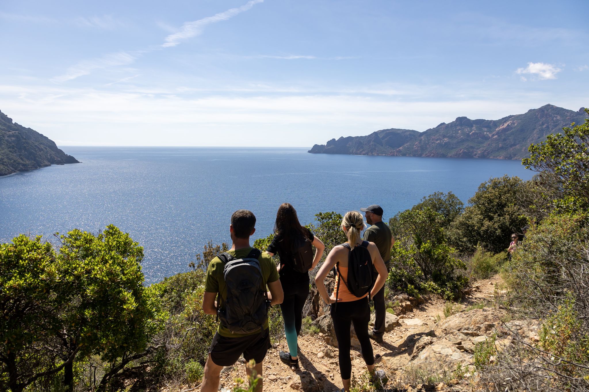
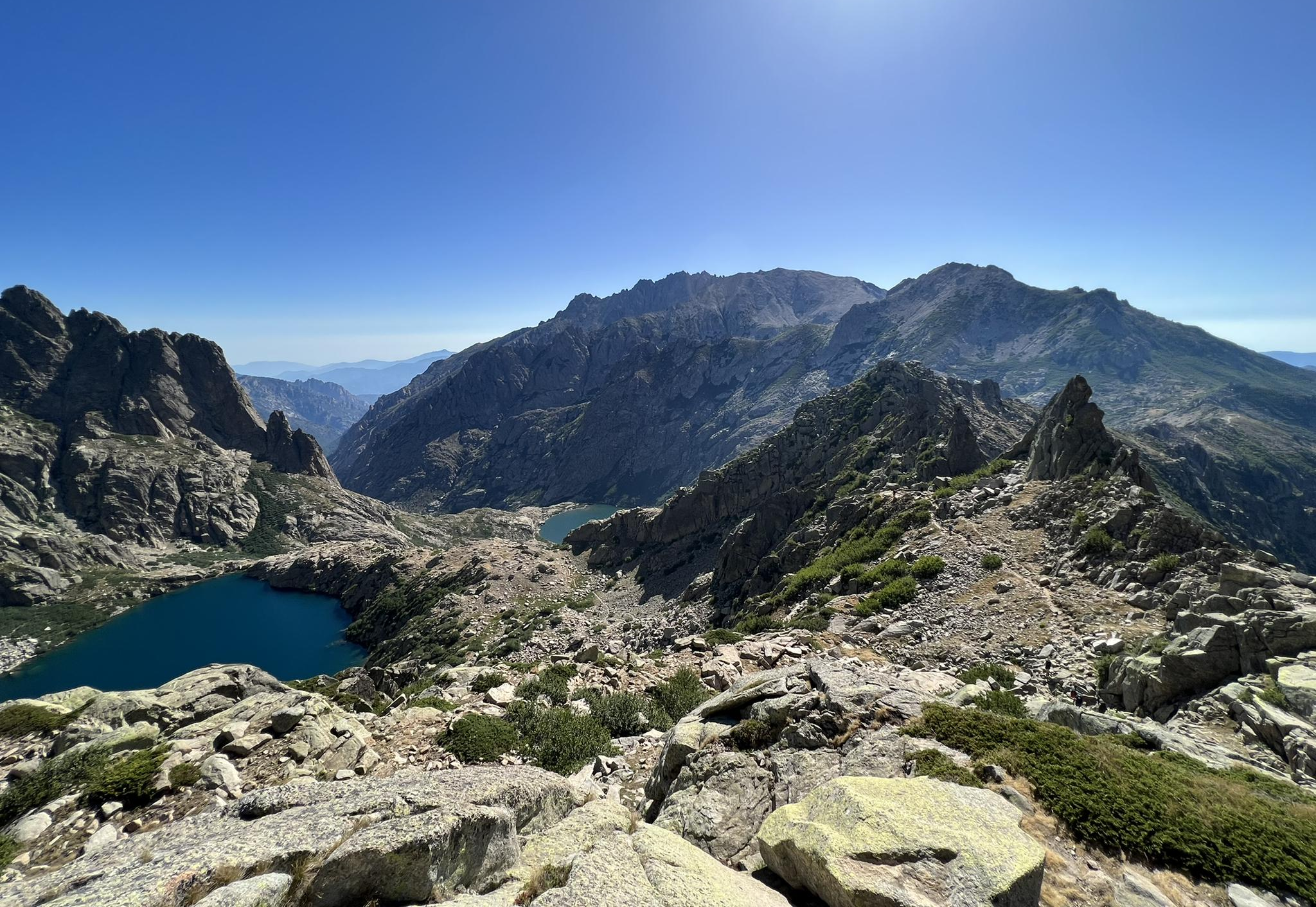
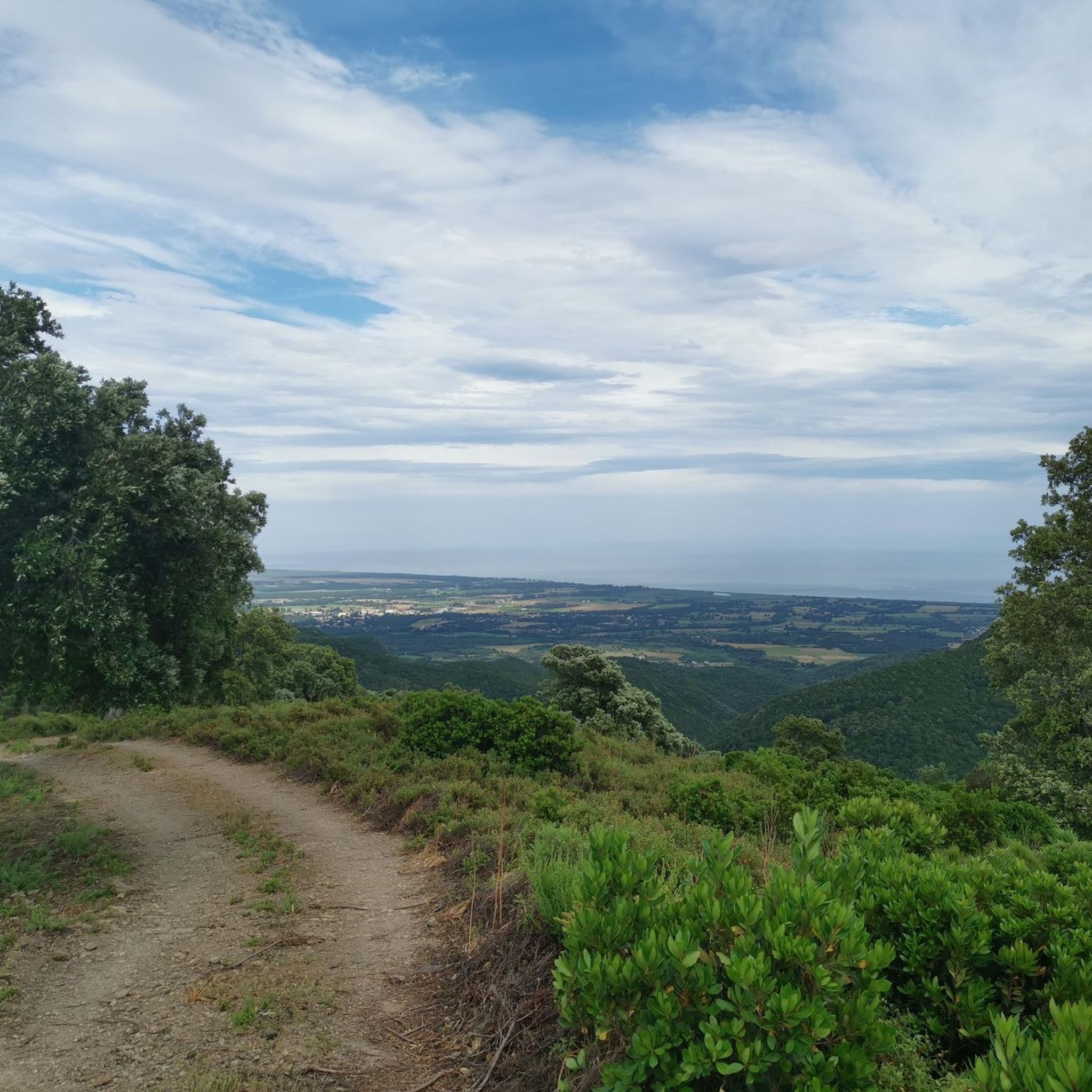
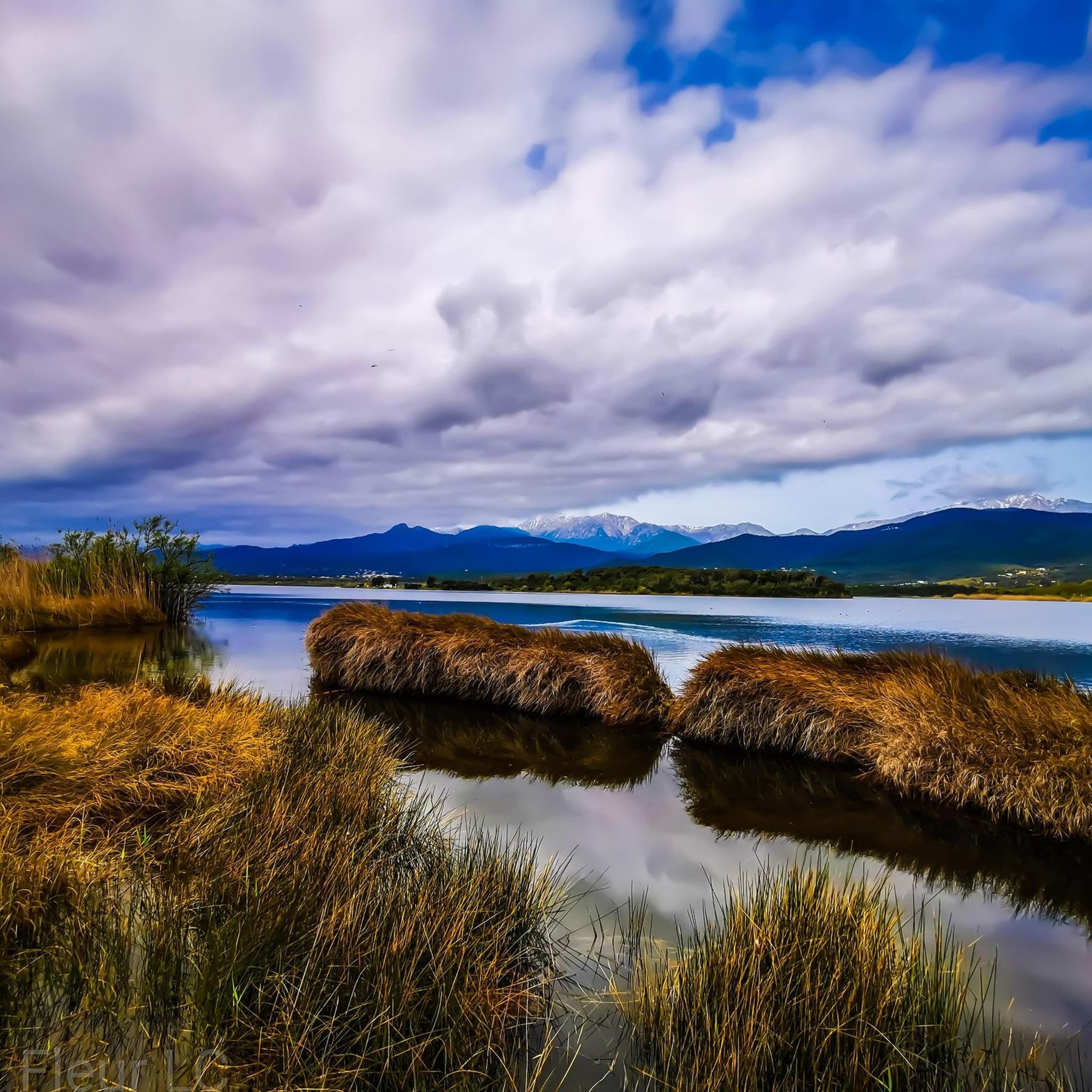
Other adventures around Serra-Di-Fiumorbo


Tips from the Community

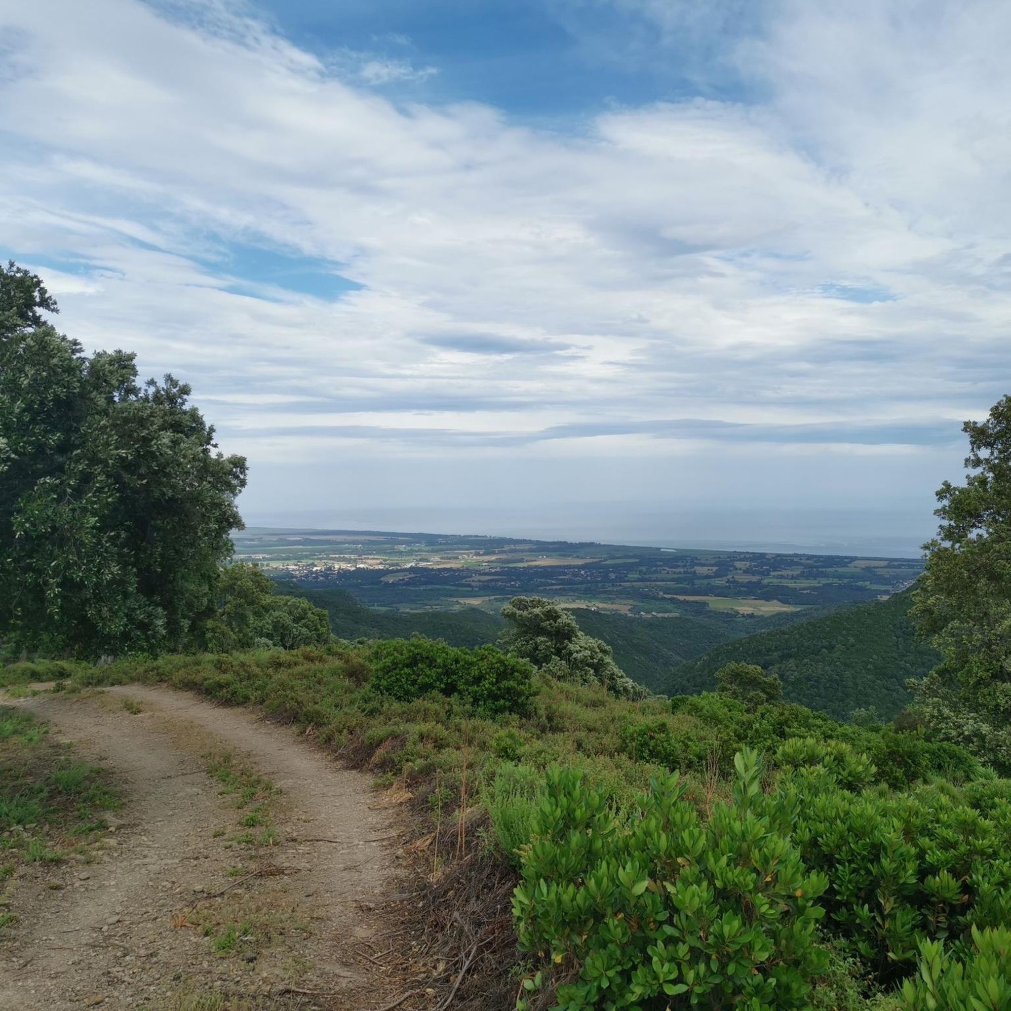
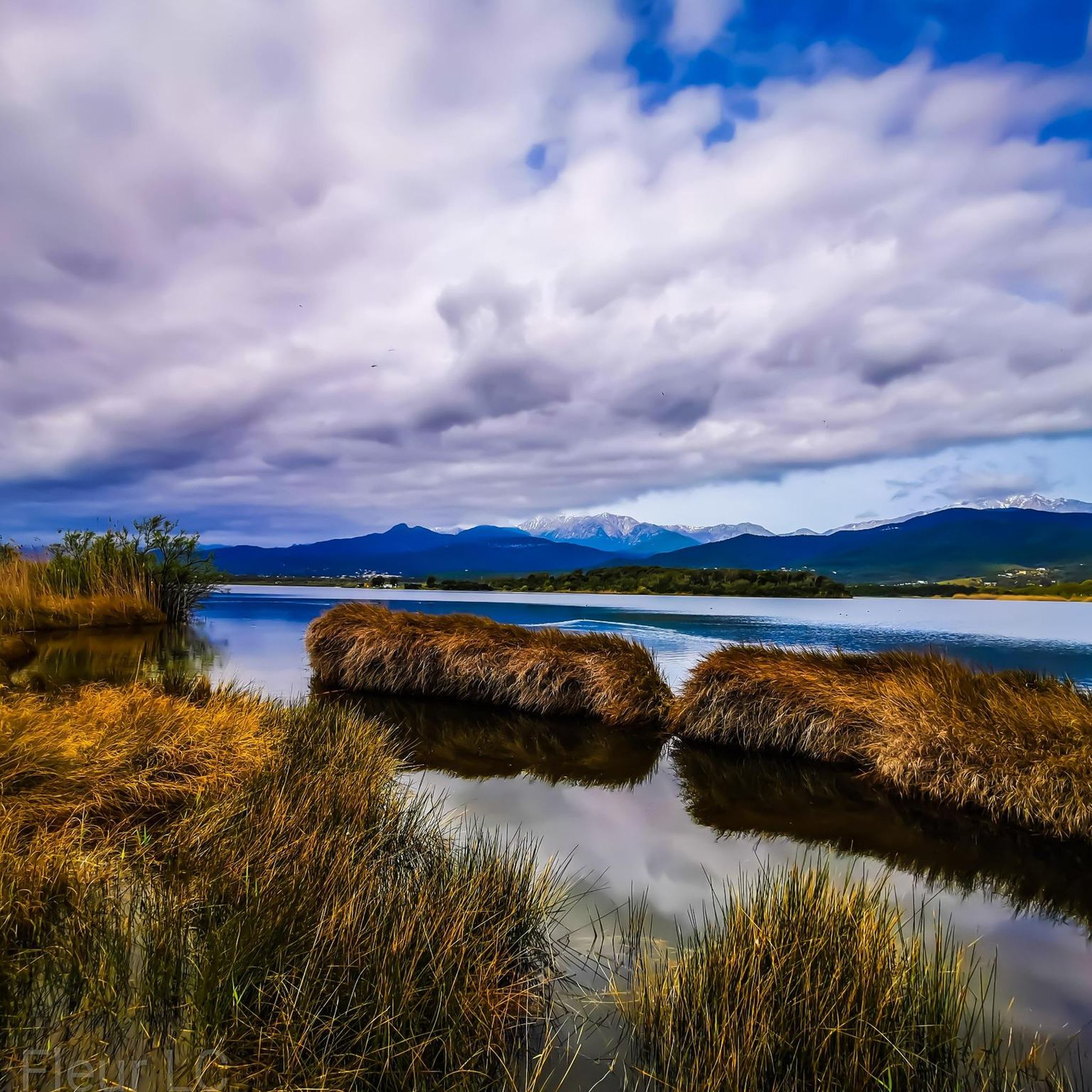
Take a break at the village of Serra-di-Fium'Orbu to enjoy the panorama over the eastern plain, from Cervione to Solenzara. This is the opportunity to see the beautiful ponds that make this part of Corsica famous
0
0
You can stop for a swim in the Abatesco at the Catastaghju site. In the heart of the mountain, a refreshing break awaits you there.
1
0

pretty ghostly, but great grotto to climb down
1
0
Frequently Asked Questions
How many hiking trails are available in Serra-Di-Fiumorbo?
Serra-Di-Fiumorbo offers a diverse network of over 15 hiking trails. These routes cater to various skill levels, including 2 easy, 10 moderate, and 3 difficult options, ensuring there's a suitable path for every hiker.
What kind of landscapes can I expect to see while hiking in Serra-Di-Fiumorbo?
Hikers in Serra-Di-Fiumorbo will encounter a rich variety of natural landscapes. These include lush fir, beech, and Lariccio pine forests, unique chestnut groves, and significant mountainous terrain offering panoramic views. You'll also find distinctive "pozzi" – natural water basins connected by small river veins – and beautiful river valleys.
Are there any trails that offer panoramic views of the region?
Yes, several trails provide breathtaking panoramic views. For instance, the View of the Eastern Plain loop from Sualello is a moderate 7.2 km path that offers expansive vistas of the eastern plain of Corsica and the Mediterranean Sea. The region also features routes near Mont Sant'Angelo and Col de Bavella, known for their spectacular mountain scenery.
Can I find any waterfalls or interesting water features on the hikes?
Absolutely. The region is known for its unique water features. You can explore the distinctive "pozzi," which are natural basins of water in green grass, particularly around the Lacs de Rina. Additionally, the Buja waterfall is a notable natural monument, and the Ucelluline Waterfall near Ghisonaccia also offers a refreshing hiking destination.
Are there any historical or geological landmarks to discover on the trails?
Yes, some trails offer a glimpse into the region's history and unique geology. The Grotta di Cirsinellu – Bocca di Ghjuva loop from San-Gavino-di-Fiumorbo explores historical and prehistoric sites, including the Circinellu Cave. Geologically, the "Trou de la Bombe" (Bomb Hole) near Col de Bavella is a prominent formation caused by erosion, providing an interesting landmark.
What do other hikers enjoy the most about hiking in Serra-Di-Fiumorbo?
The komoot community highly rates hiking in Serra-Di-Fiumorbo, with an average score of 4.4 stars from over 480 reviews. Hikers frequently praise the diverse forests, unique water features like the pozzi, and the significant mountainous terrain that offers varied scenery and exploration opportunities.
Are there any challenging hikes for experienced trekkers?
Yes, for experienced trekkers, Serra-Di-Fiumorbo offers 3 difficult routes. One such challenging option is the Quarcio Grosso Peak – Bocca di Ghjuva loop from Chapelle Sainte-Marie, an 18.3 km trail with significant elevation gain, perfect for those seeking a demanding adventure.
Are there any circular hiking routes in the area?
Many of the trails in Serra-Di-Fiumorbo are circular, offering convenient starting and ending points. Examples include the Swimming Spot at Catastaghju loop from Catastaghju, which is 7.6 km, and the View of the Eastern Plain loop from Mignataja, a 12.2 km route.
Can I find trails suitable for swimming or cooling off during a hike?
Yes, the region's natural water features provide opportunities for cooling off. The Swimming Spot at Catastaghju loop from Catastaghju is specifically highlighted for its access to a swimming spot, leading through river valleys and water features.
What are some of the notable mountain peaks or viewpoints in the area?
Serra-Di-Fiumorbo is surrounded by impressive peaks and viewpoints. Hikers can aim for summits like Mount Incudine, Mount Formicula, and Punta Bianca. For stunning vistas, the View of Bocca d'Oru is a highly recommended viewpoint.
Are there any easy hiking trails for beginners or families?
Yes, Serra-Di-Fiumorbo offers 2 easy hiking trails, making it accessible for beginners and families. These routes provide a gentle introduction to the region's natural beauty without demanding significant physical exertion.
Most popular attractions around Serra-Di-Fiumorbo

Get inspired with the komoot mobile app


Explore more
Browse the best Hikes in other regions.
