The best walks and hikes around Gières
4.5
(1805)
17,209
hikers
28
hikes
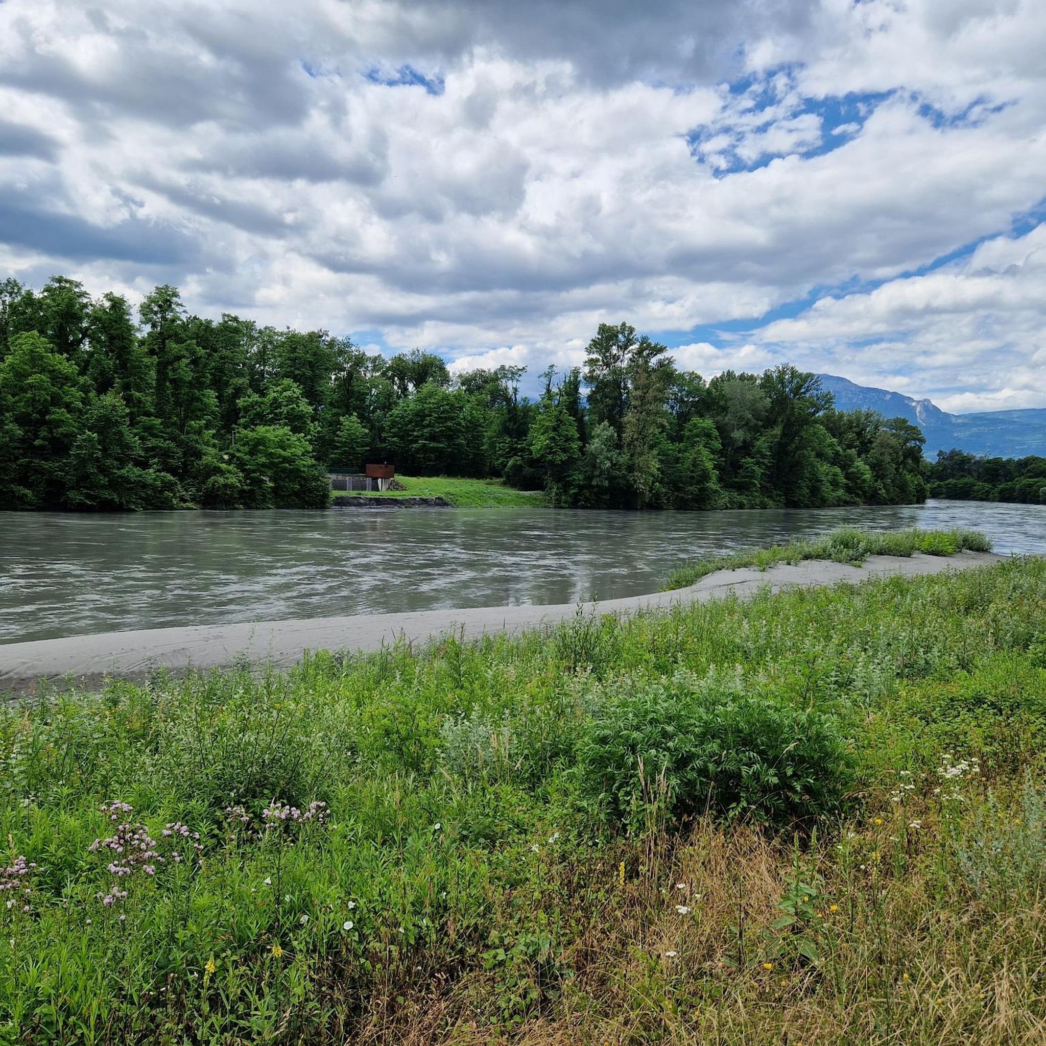
Hiking around Gières offers access to a diverse natural landscape at the foot of the Belledonne massif, near Grenoble. The region provides panoramic views of the Belledonne, Chartreuse, and Vercors mountain ranges, alongside the Isère river valley. Characterized by forests, alpine meadows, and historical sites like the Fort du Mûrier, the area presents varied terrain for outdoor activities. This location serves as a gateway to both challenging mountain trails and gentler riverside paths.
Best hiking trails around Gières
- The most…
Last updated: October 12, 2026
4.6
(21)
118
hikers
8.65km
03:00
390m
390m
Moderate hike. Good fitness required. Mostly accessible paths. Sure-footedness required.
4.7
(12)
62
hikers
8.26km
02:45
340m
340m
Moderate hike. Good fitness required. Mostly accessible paths. Sure-footedness required.

5.0
(6)
50
hikers
11.2km
02:49
10m
10m
Moderate hike. Good fitness required. Easily-accessible paths. Suitable for all skill levels.
4.3
(6)
42
hikers
15.5km
05:30
760m
760m
Hard hike. Very good fitness required. Mostly accessible paths. Sure-footedness required.
5
hikers
6.30km
02:02
220m
220m
Moderate hike. Good fitness required. Mostly accessible paths. Sure-footedness required.
Get access to more routes and recommendations from other explorers.
Already have an account?
Our route recommendations are based on thousands of hikes, rides, and runs completed by other people on komoot.
Start today with a free account
Your next adventure awaits.

Other adventures around Gières

Tips from the Community

Easy accessibility from Gières. No special eqipments required. Achievable for any fitness level.
1
0

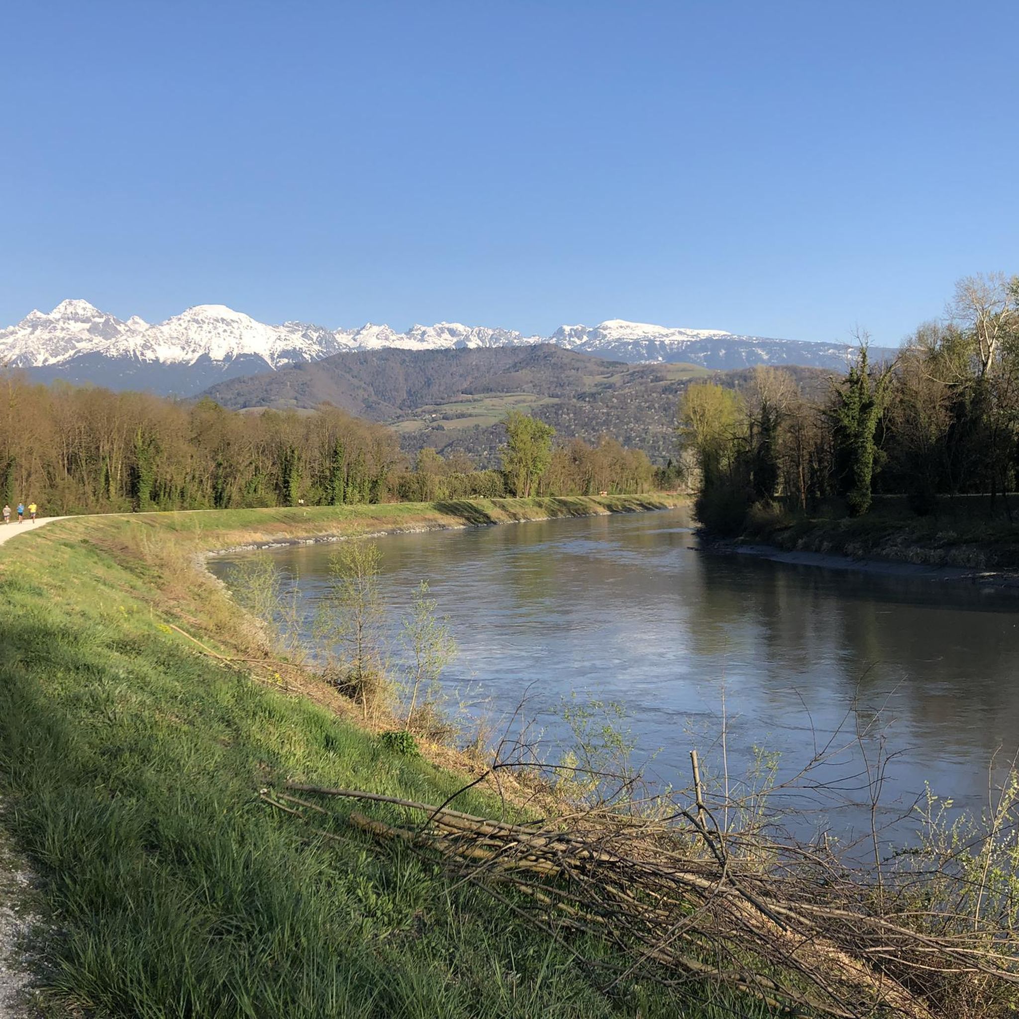
This highlight is reached on a hike along the Isère river. Start the hike by travelling to Giìere, plain de sport, by tram and return by bus from Domène.
0
0

Pressembois is home to the famous Venon oak, also known as the Pressembois oak. In 2017, it was awarded the "Remarkable Tree of France" label.
0
0
This hike starts at the final station of Grenoble's tram B, plain des sports. It ends at the final station of bus 15, which brings you directly back into the city of Grenoble.
0
0

Pleasant and rather quiet area.
0
0

Rolling and shaded, and accessible for all levels
1
0
Path of discovery of flora and fauna
1
0
Frequently Asked Questions
How many hiking trails are available around Gières?
Gières offers a diverse selection of nearly 30 hiking routes, catering to various skill levels. These trails provide access to the stunning landscapes of the Belledonne, Chartreuse, and Vercors massifs, as well as the scenic Isère river valley.
Are there easy hiking options suitable for families in Gières?
Yes, Gières has several easy trails perfect for families. An excellent option is the Fort du Mûrier loop from Grenoble Universités - Gières, which is about 3.6 miles (5.9 km) long and takes around 1 hour 50 minutes. This route leads through forested areas and past the historic Fort du Mûrier, offering an engaging experience without being too strenuous.
What kind of views can I expect on hikes around Gières?
Hiking around Gières offers breathtaking panoramic views. Many trails provide vistas over the three prominent mountain ranges—Belledonne, Chartreuse, and Vercors—alongside the picturesque Isère river valley. For example, the Viewpoint – The Murier batteries loop from Gières is specifically known for its expansive views of these massifs and the valley.
Are there any circular hiking routes near Gières?
Yes, many trails around Gières are circular, making them convenient for day trips. A popular moderate circular route is the Chêne de Venon loop from Murianette, which is 7.5 miles (12.0 km) long and typically takes about 4 hours 18 minutes to complete, offering picturesque paths and lovely views.
Can I reach hiking trailheads in Gières using public transport?
Gières is well-connected, and some trailheads are accessible via public transport. The Fort du Mûrier loop, for instance, starts from Grenoble Universités - Gières, which is a key public transport hub, making it convenient for hikers without a car.
What are some historical or natural landmarks to see while hiking in Gières?
Gières is rich in both natural beauty and historical sites. The Fort du Mûrier is a significant historical landmark integrated into several hiking routes, offering both historical interest and excellent viewpoints. Additionally, the region provides access to the dramatic landscapes of the Belledonne, Chartreuse, and Vercors massifs, with highlights such as Col de Porte and Chamechaude in the Chartreuse.
What is the best time of year to go hiking around Gières?
The best time for hiking around Gières is generally from spring through autumn (April to October). During these months, the weather is pleasant, and the trails are typically clear of snow, offering ideal conditions to explore the diverse landscapes, from the Isère river valley to the lower slopes of the massifs. Winter hiking is possible, especially on lower-altitude trails, but requires appropriate gear and checking conditions.
Are there any challenging hikes for experienced trekkers in the Gières area?
Yes, for experienced trekkers, Gières serves as a gateway to more challenging routes within the surrounding massifs. While the immediate area offers mostly easy to moderate trails, the proximity to the rugged peaks of the Belledonne massif and the dramatic cliffs of the Vercors provides opportunities for more strenuous ascents and longer expeditions into alpine terrain.
What do other hikers say about the trails in Gières?
The hiking trails in Gières are highly regarded by the komoot community, boasting an average rating of 4.6 stars from over 1600 reviews. Hikers often praise the diverse terrain, the stunning panoramic views of the three massifs, and the well-maintained paths that cater to various ability levels.
Are there any hikes along the Isère River near Gières?
Yes, you can find pleasant hikes along the Isère River. The Edge of Isère – View of the Isère River loop from Gières is a moderate 6.9 miles (11.15 km) route that offers scenic views of the river and its valley, providing a gentler alternative to mountain trails.
Are dogs allowed on the hiking trails around Gières?
Many trails in the Gières region are dog-friendly, allowing you to enjoy the natural beauty with your canine companion. However, it's always recommended to keep dogs on a leash, especially in protected natural areas or near livestock, and to check specific trail regulations before you go.
Most popular routes around Gières
Most popular attractions around Gières

Get inspired with the komoot mobile app


Explore more
Browse the best Hikes in other regions.
