The best walks and hikes around Hurtigheim
4.6
(1447)
8,974
hikers
323
hikes
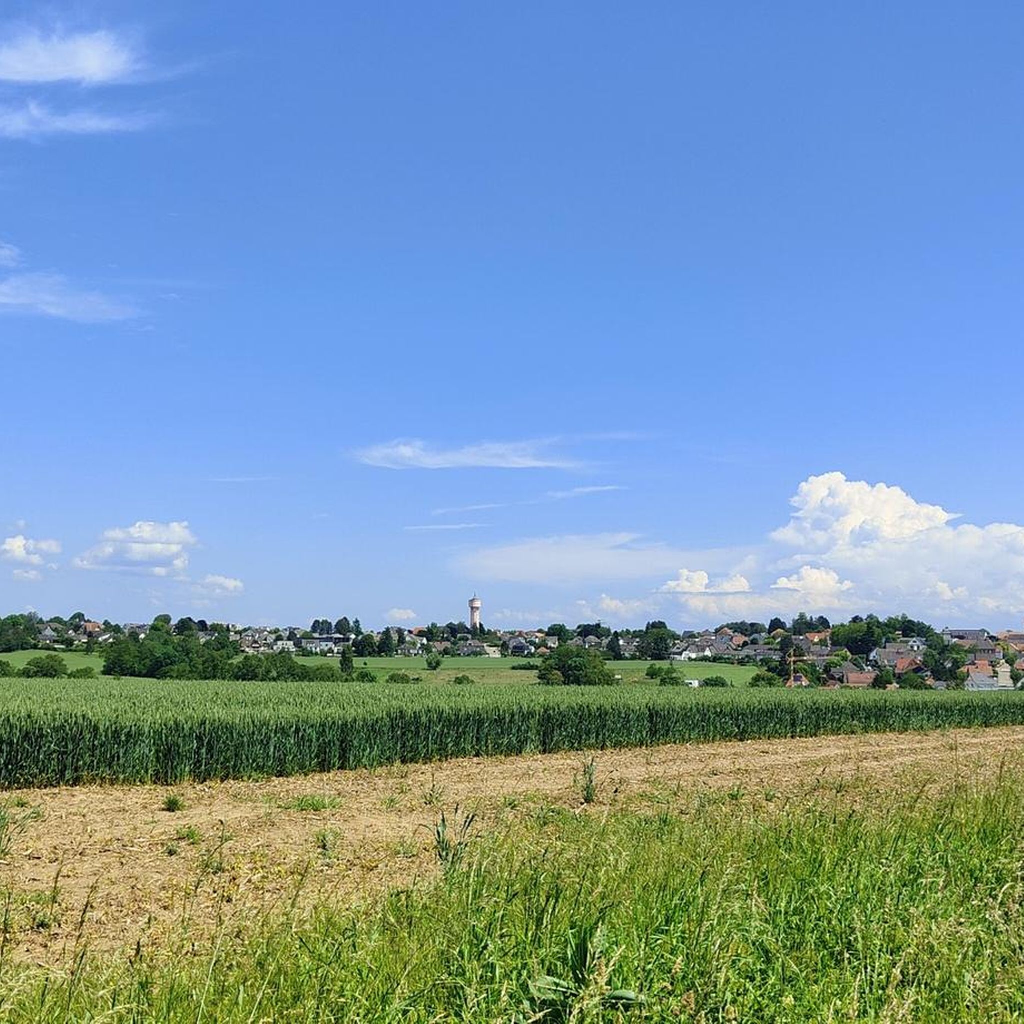
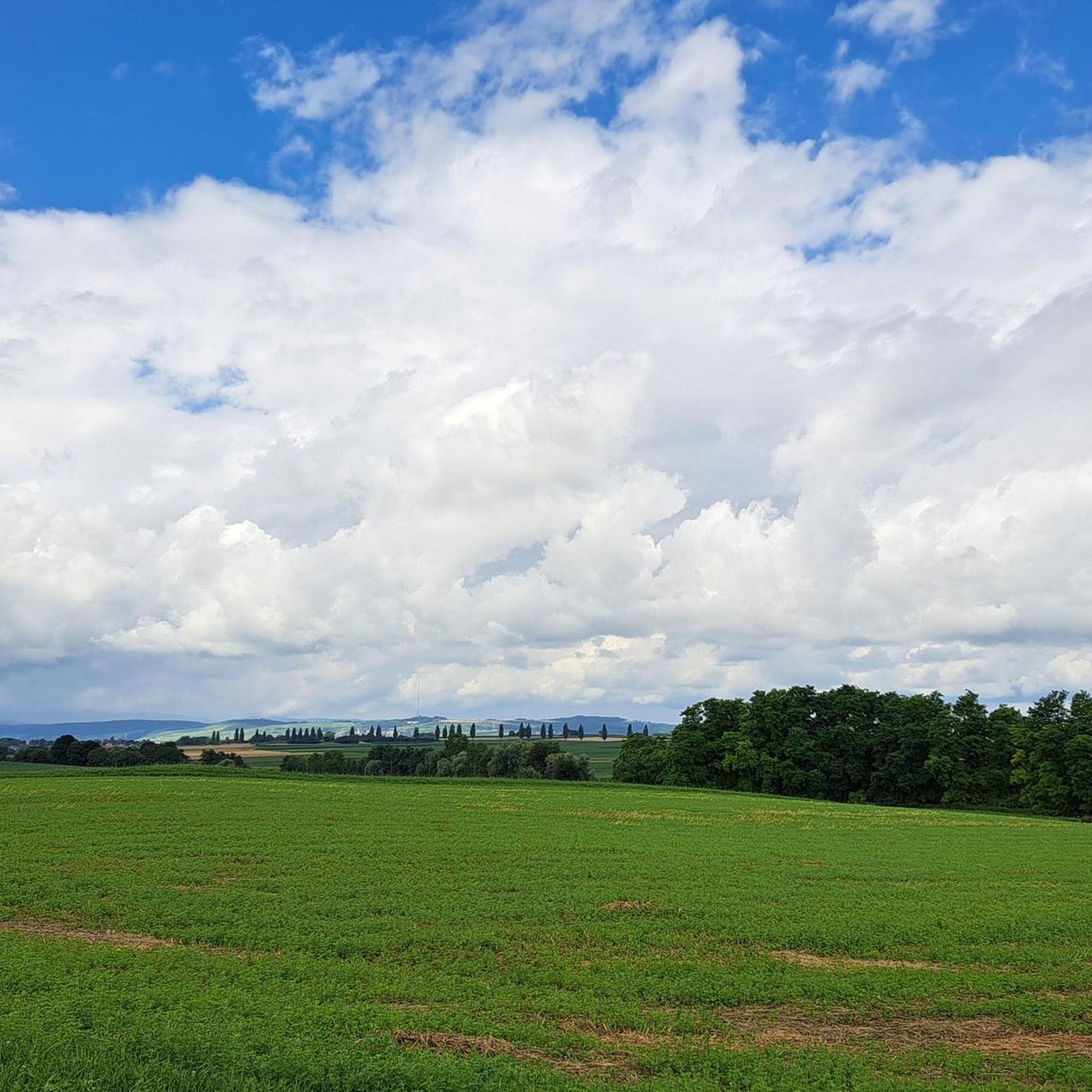
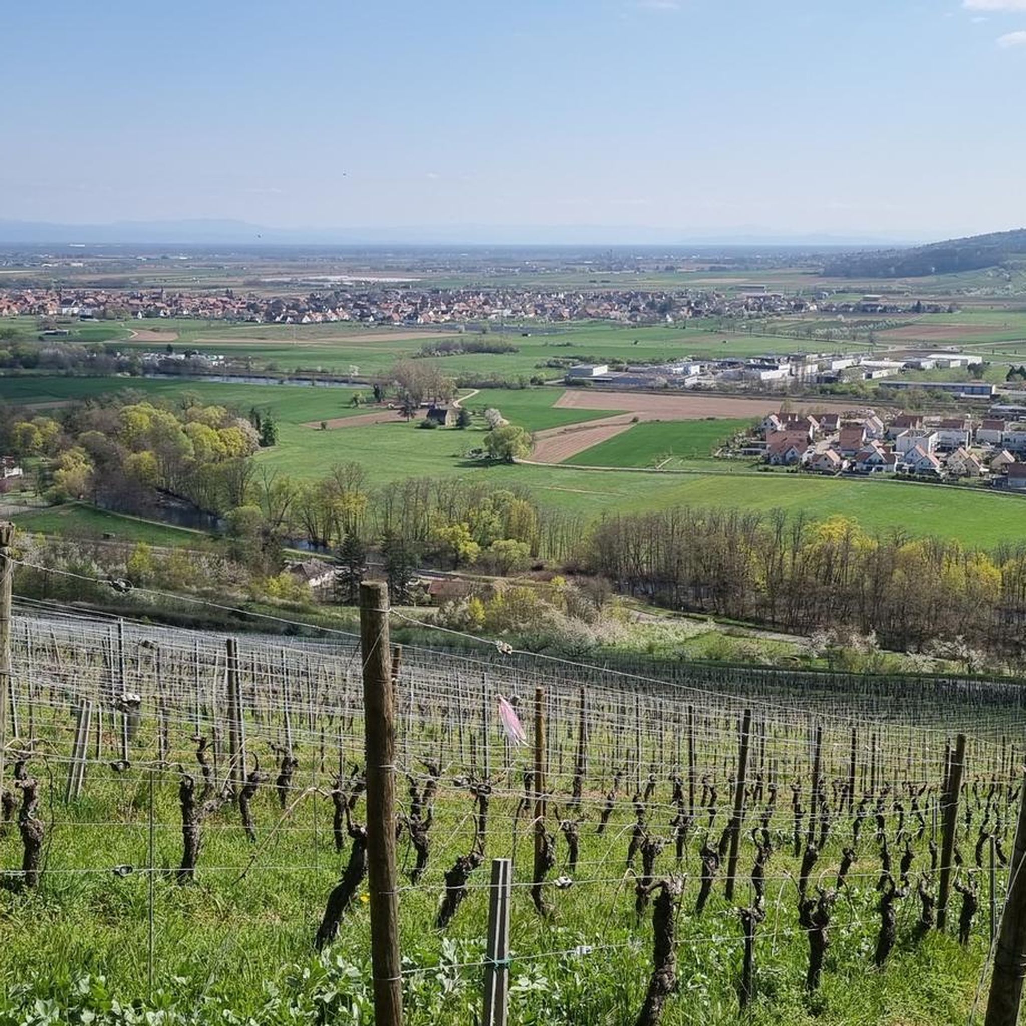
Hiking around Hurtigheim offers exploration of the Bas-Rhin department's agricultural landscapes. The region is characterized by rolling terrain within the Kochersberg, with views extending across the Alsace plain towards the Vosges mountains and the Black Forest. Waterways like the Souffel River and Musau stream contribute to the natural setting. Paths often traverse fields and follow former tramway lines, providing a rural hiking experience.
Best hiking trails around Hurtigheim
- The most popular hiking route is Oberhausbergen hill – Fort Ducros loop…
Last updated: October 4, 2026
5.0
(1)
15
hikers
12.0km
03:12
130m
130m
Moderate hike. Good fitness required. Easily-accessible paths. Suitable for all skill levels.
5.0
(1)
19
hikers
7.61km
02:01
70m
70m
Moderate hike. Good fitness required. Easily-accessible paths. Suitable for all skill levels.

4.3
(3)
28
hikers
3.16km
00:48
10m
10m
Easy hike. Great for any fitness level. Easily-accessible paths. Suitable for all skill levels.
11
hikers
11.6km
03:03
80m
80m
Moderate hike. Good fitness required. Easily-accessible paths. Suitable for all skill levels.
19
hikers
6.71km
01:42
10m
10m
Easy hike. Great for any fitness level. Easily-accessible paths. Suitable for all skill levels.
Get access to more routes and recommendations from other explorers.
Already have an account?
Our route recommendations are based on thousands of hikes, rides, and runs completed by other people on komoot.
Start today with a free account
Your next adventure awaits.

Tips from the Community

Beautiful route for a bike tour, always flat, no climbs, partly under trees along the canal
0
0

Very nice cycle path along the canal.
0
0

Great route for a ride, avoid weekends and public holidays.
2
0

Fort currently being renovated, integrated into the Maginot Line, belonging to the fortified belt of Strasbourg
0
0

Avoid driving during rush hour, on weekends and public holidays! It can get very crowded!
0
0

The Bruche Canal in Ostermattfeld offers an ideal setting for a relaxed and scenic mountain bike ride along its tranquil banks. Originally built in the 17th century, the canal was used to transport sandstone from the Vosges to Strasbourg. You'll pass quaint Alsatian villages, shady, tree-lined paths, and the occasional bridge.
2
0

Cycle path on a clean and often shaded site
1
0

Very well developed cycle path that leads through beautiful landscapes.
1
0
Frequently Asked Questions
How many hiking trails are available around Hurtigheim?
There are over 270 hiking routes available around Hurtigheim, offering a wide range of options for different preferences and fitness levels. These include 137 easy routes, 130 moderate routes, and 10 more challenging trails.
What kind of terrain can I expect on hikes near Hurtigheim?
Hikes near Hurtigheim primarily traverse the rolling agricultural landscapes of the Kochersberg region. You'll find paths that wind through fields, along local waterways like the Souffel River, and sometimes follow former tramway lines. The terrain is generally gentle, offering expansive views of the Alsace plain, the city of Strasbourg, and distant glimpses of the Vosges mountains and the Black Forest.
Are there easy hiking options suitable for beginners or casual walkers?
Yes, Hurtigheim offers many easy hiking options. For example, the Hiking loop from Truchtersheim is a 2.0-mile (3.2 km) trail through agricultural fields, typically completed in under an hour. Another accessible option is the Oberhausbergen hill loop from Mittelhausbergen, which is 3.7 miles (6.0 km) long and features gentle ascents.
Can I find circular hiking routes in the Hurtigheim area?
Yes, many of the hiking routes around Hurtigheim are circular, allowing you to start and end at the same point. Examples include the Oberhausbergen hill – Fort Ducros loop from Mittelhausbergen and the Osthoffen Castle – Château d'Osthoffen loop from Osthoffen. The Kochersberg region also features dedicated discovery trails like the "Path: discovering the Kochersberg" and "Sentier: autour du Kochersberg" which are designed as loops.
Are the hiking trails around Hurtigheim suitable for families with children?
Yes, the generally gentle and rolling terrain of the Kochersberg region makes many trails suitable for families. The numerous easy and moderate routes, often traversing fields and quiet paths, provide a pleasant environment for children. Shorter circular routes are particularly good for family outings.
Are dogs allowed on the hiking trails near Hurtigheim?
Most hiking trails in the rural areas around Hurtigheim are dog-friendly, especially those traversing agricultural fields and natural paths. However, it's always recommended to keep dogs on a leash, particularly when passing through farmland or near livestock, and to respect local regulations.
What are some notable natural features or landmarks I might encounter on a hike?
While hiking around Hurtigheim, you'll experience the serene agricultural landscapes of the Kochersberg region. Key natural features include the Souffel River and Musau stream, which contribute to the area's charm. You'll also enjoy expansive views across the Alsace plain, with distant vistas of the Vosges mountains and the Black Forest. Some trails follow former tramway lines, offering a unique historical element.
Are there any historical sites or attractions to visit near the hiking routes?
Yes, while Hurtigheim itself is rural, the broader region offers historical sites. The Kochersberg discovery trails often pass through typical villages, showcasing architectural and historical heritage like old wash-houses and traditional farmhouses. For more significant historical attractions, the nearby city of Strasbourg offers sites such as the magnificent Strasbourg Cathedral and the picturesque district of La Petite France.
What is the best time of year to go hiking in Hurtigheim?
The best time to hike in Hurtigheim is generally from spring through autumn (April to October). During these months, the weather is pleasant, and the agricultural landscapes are vibrant. Spring brings blooming fields, while autumn offers beautiful colors. Winter hikes are possible, but paths may be muddy or occasionally icy.
Is public transport available to access hiking trailheads around Hurtigheim?
Hurtigheim is a rural village, so public transport options directly to all trailheads might be limited. It's advisable to check local bus schedules for connections from larger towns like Strasbourg to Hurtigheim or nearby villages. Many hikers prefer to drive to access the starting points of routes in the wider Kochersberg area.
Where can I park when planning a hike in Hurtigheim?
Parking is generally available in Hurtigheim and the surrounding villages. You can typically find parking near village centers or designated parking areas close to popular trailheads. As the area is rural, roadside parking might also be an option, but always ensure you are not obstructing traffic or private access.
What do other hikers say about the trails in Hurtigheim?
The hiking routes in Hurtigheim are highly rated by the komoot community, with an average score of 4.6 stars from over 1,100 reviews. Hikers often praise the peaceful rural atmosphere, the well-maintained paths through agricultural fields, and the scenic views across the Alsace plain. Many appreciate the variety of easy and moderate options available.
Are there longer or more challenging hikes for experienced hikers?
While the region is known for its gentle terrain, there are some longer, moderate options. For instance, the Fort Ducros – Oberhausbergen hill loop from Dingsheim is a 7.1-mile (11.5 km) route with some elevation gain, offering a more extended experience. The area also features 10 routes classified as difficult, providing options for those seeking a greater challenge.
Most popular routes around Hurtigheim
Most popular attractions around Hurtigheim

Get inspired with the komoot mobile app


Explore more
Browse the best Hikes in other regions.
