The best road cycling routes around Lautenbachzell
4.4
(298)
10,179
riders
116
rides
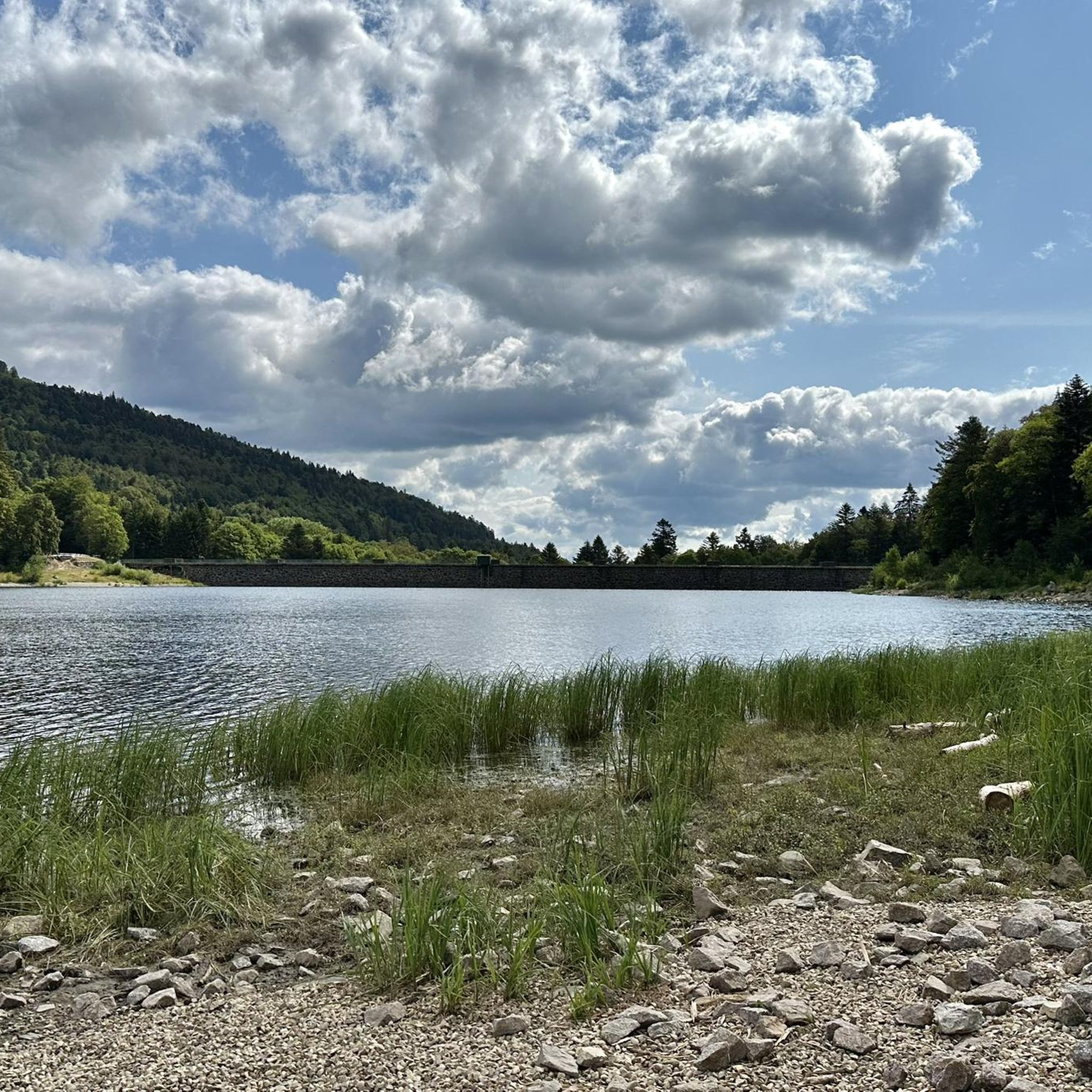
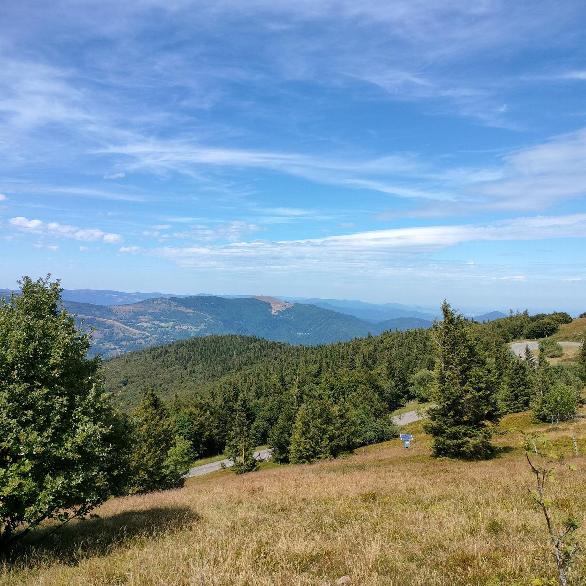
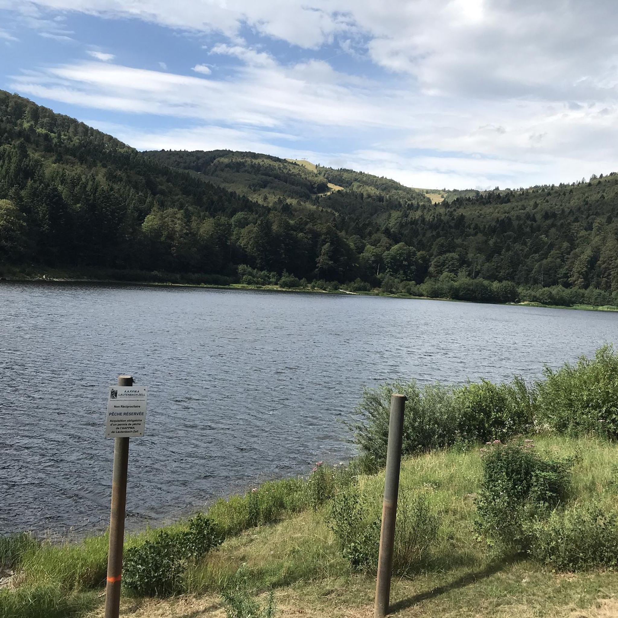
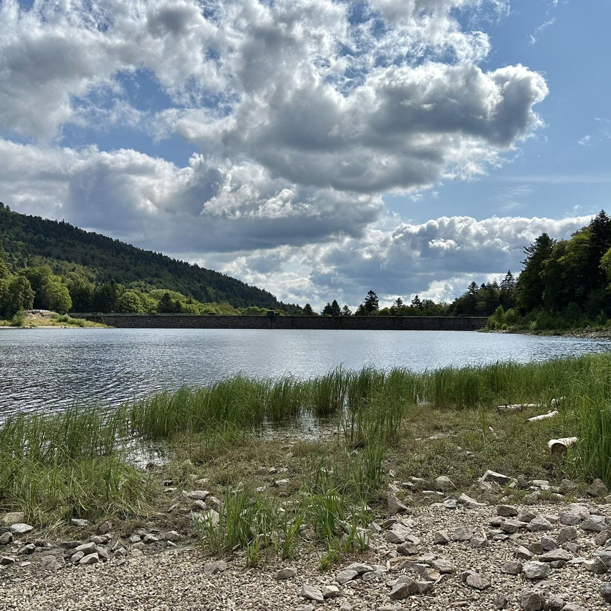
Road cycling routes around Lautenbachzell navigate a landscape characterized by significant elevation changes, mountain passes, and scenic valleys. The region features routes that ascend to high points like Col Amic and Grand Ballon, offering views over the Vosges mountains. Road cyclists can expect varied terrain, from challenging climbs to routes passing by lakes and through forested areas.
Best road cycling routes around Lautenbachzell
- The most popular road cycling route is Lake Kruth-Wildenstein – Bockloch Waterfall loop from Geishouse, a…
Last updated: July 5, 2026
4.4
(9)
201
riders
47.4km
02:27
630m
630m
Moderate road ride. Good fitness required. Some segments of this route may be unpaved and difficult to ride.
5.0
(1)
116
riders
87.7km
05:19
1,910m
1,910m
Hard road ride. Very good fitness required. Some segments of this route may be unpaved and difficult to ride.

Sign up for free
5.0
(5)
63
riders
28.4km
01:46
800m
800m
Moderate road ride. Good fitness required. Mostly well-paved surfaces and easy to ride.
4.2
(5)
52
riders
28.1km
01:15
280m
280m
Moderate road ride. Great for any fitness level. Some segments of this route may be unpaved and difficult to ride.
4.8
(4)
84
riders
48.4km
02:12
460m
460m
Moderate road ride. Good fitness required. Mostly well-paved surfaces and easy to ride.
Get access to more routes and recommendations from other explorers.
Sign up for free
Already have an account?
Our route recommendations are based on thousands of hikes, rides, and runs completed by other people on komoot.
Start today with a free account
Your next adventure awaits.
Login or Signup
Popular around Lautenbachzell

Hiking to the summits – France's highest points

Thatches, lakes and forests – Tour des Ballons des Vosges
Hiking around Lautenbachzell
MTB Trails around Lautenbachzell
Running Trails around Lautenbachzell
Cycling around Lautenbachzell
Gravel biking around Lautenbachzell
Mountain Hikes around Lautenbachzell


Tips from the Community


Met the mayor of the town today when I wanted to refill my bottles, he told me not to drink the water. This also applies to the other wells in town. I drank two bottles of it, everything was fine.
0
0

The bridge in the town of Merxheim over the river Ill is worth a short stop for a photo, or simply to admire. The Ill is 217 km long in total, originates in the Jura, flows through the departments of Haut Rhin, Bas Rhin and flows as a left tributary into the Rhine near Erstein, which is located south of Strasbourg.
0
0

The church cannot be visited at this time as it is closed for renovations.
2
0


Off the main road, beautiful view
0
0

A pleasant section to ride, with moderate climbs and little traffic. There were a few racing cyclists on the road.
2
0
Frequently Asked Questions
How many road cycling routes are available around Lautenbachzell?
There are over 130 road cycling routes in the Lautenbachzell area, offering a wide range of options for different skill levels. This includes 36 easy routes, 68 moderate routes, and 31 difficult routes, ensuring there's something for every road cyclist.
Are there any easy road cycling routes suitable for beginners in Lautenbachzell?
Yes, Lautenbachzell offers several easier routes. While the region is known for its elevation changes, there are 36 routes categorized as easy. For a moderate option with less extreme climbs, consider the Saint-Léger Church – Bannstein Pass loop from Lautenbach, which features a manageable 283 meters of elevation gain over 27.9 kilometers.
What are some challenging road cycling routes in the Lautenbachzell region?
For experienced cyclists seeking a challenge, the Lautenbachzell area provides routes with significant climbs and elevation gains. A notable difficult route is the Climb to Col Amic – Grand Ballon loop from Fellering, which covers 87.7 kilometers and includes over 1900 meters of ascent to prominent mountain passes like Col Amic and Grand Ballon.
Are there any circular road cycling routes around Lautenbachzell?
Yes, many of the road cycling routes in Lautenbachzell are designed as loops, allowing you to start and finish in the same location. Examples include the moderate Lake Kruth-Wildenstein – Bockloch Waterfall loop from Geishouse and the more challenging Climb to Col Amic – Grand Ballon loop from Fellering.
What kind of scenery can I expect on road cycling routes in Lautenbachzell?
Road cycling in Lautenbachzell offers diverse and scenic landscapes. You'll encounter routes that ascend to high points like Col Amic and Grand Ballon, providing extensive views over the Vosges mountains. Other routes pass by natural water features such as Lake Kruth-Wildenstein and through forested areas, offering a mix of mountain vistas and tranquil natural settings.
Are there road cycling routes that pass by waterfalls in Lautenbachzell?
Yes, some routes offer the chance to see beautiful waterfalls. The Lake Kruth-Wildenstein – Bockloch Waterfall loop from Geishouse is a moderate route that takes you past the impressive Bockloch Waterfall. Other waterfalls in the region include Heidenbad Waterfall and Siehlbaechle Waterfall.
What is the best time of year for road biking in Lautenbachzell?
The best time for road biking in Lautenbachzell is typically from late spring through early autumn (May to October). During these months, the weather is generally milder, and mountain passes are clear of snow, providing optimal conditions for enjoying the region's varied terrain and scenic views.
What do other road cyclists enjoy most about road cycling in Lautenbachzell?
The road cycling routes around Lautenbachzell are highly rated by the komoot community, with an average score of 4.5 stars from over 380 reviews. Cyclists frequently praise the significant elevation gains, the challenging mountain passes, and the rewarding views over the Vosges mountains. The variety of routes, from moderate loops to difficult ascents, is also a key highlight.
Are there any routes that offer views of the Vosges mountains?
Absolutely. The region is characterized by its Vosges mountain landscape. Routes like the Breitfirst Pass – View over the Vosges loop from Le Markstein specifically highlight panoramic views. Many of the higher elevation routes, such as those ascending to Grand Ballon, also provide extensive vistas across the Vosges.
Can I find road cycling routes that pass through vineyards near Lautenbachzell?
Yes, some routes extend into areas known for their vineyards. The Bannstein Pass – Vineyards of Rouffach loop from Lautenbach is a moderate route that takes you through the picturesque vineyard landscapes near Rouffach, offering a different kind of scenic experience compared to the higher mountain passes.
What are the typical elevation changes on road cycling routes in Lautenbachzell?
Road cycling in Lautenbachzell is defined by significant elevation changes. Even moderate routes like the Lake Kruth-Wildenstein – Bockloch Waterfall loop from Geishouse can feature over 600 meters of ascent. More difficult routes, such as the Climb to Col Amic – Grand Ballon loop from Fellering, involve nearly 2000 meters of climbing, making it a region well-suited for those who enjoy challenging ascents.
Most popular routes around Lautenbachzell
Most popular attractions around Lautenbachzell

Get inspired with the komoot mobile app


Explore more
Browse the best Road cycling routes in other regions.
