The best mountain hikes around Linthal
4.7
(10)
46
hikers
20
hikes
Mountaineering routes around Linthal are characterized by varied mountain terrain, featuring significant elevation changes and panoramic views. The region offers a mix of challenging ascents and moderate paths through mountainous landscapes. These routes often traverse high peaks and valleys, providing diverse environments for mountaineers.
Best mountaineering routes around Linthal
- The most popular mountaineering route is Grand Ballon – Panoramic view from the Grand Ballon summit loop from Grand Ballon, a 2.2 miles (3.5 km) trail that takes 1 hour…
Last updated: October 8, 2026
5.0
(2)
6
hikers
Moderate mountaineering route. Great for any fitness level. Mostly accessible paths. Sure-footedness required.
2
hikers
20.4km
07:44
1,090m
1,090m
Hard mountaineering route. Very good fitness required. Sure-footedness, sturdy shoes and alpine experience required.

3
hikers
13.7km
04:39
670m
670m
Moderate mountaineering route. Good fitness required. Mostly accessible paths. Sure-footedness required.
7
hikers
11.5km
04:33
690m
680m
Moderate mountaineering route. Good fitness required. Mostly accessible paths. Sure-footedness required.
6
hikers
19.1km
06:00
740m
740m
Hard mountaineering route. Very good fitness required. Easily-accessible paths. Suitable for all skill levels.
Get access to more routes and recommendations from other explorers.
Already have an account?
Our route recommendations are based on thousands of hikes, rides, and runs completed by other people on komoot.
Start today with a free account
Your next adventure awaits.

Tips from the Community

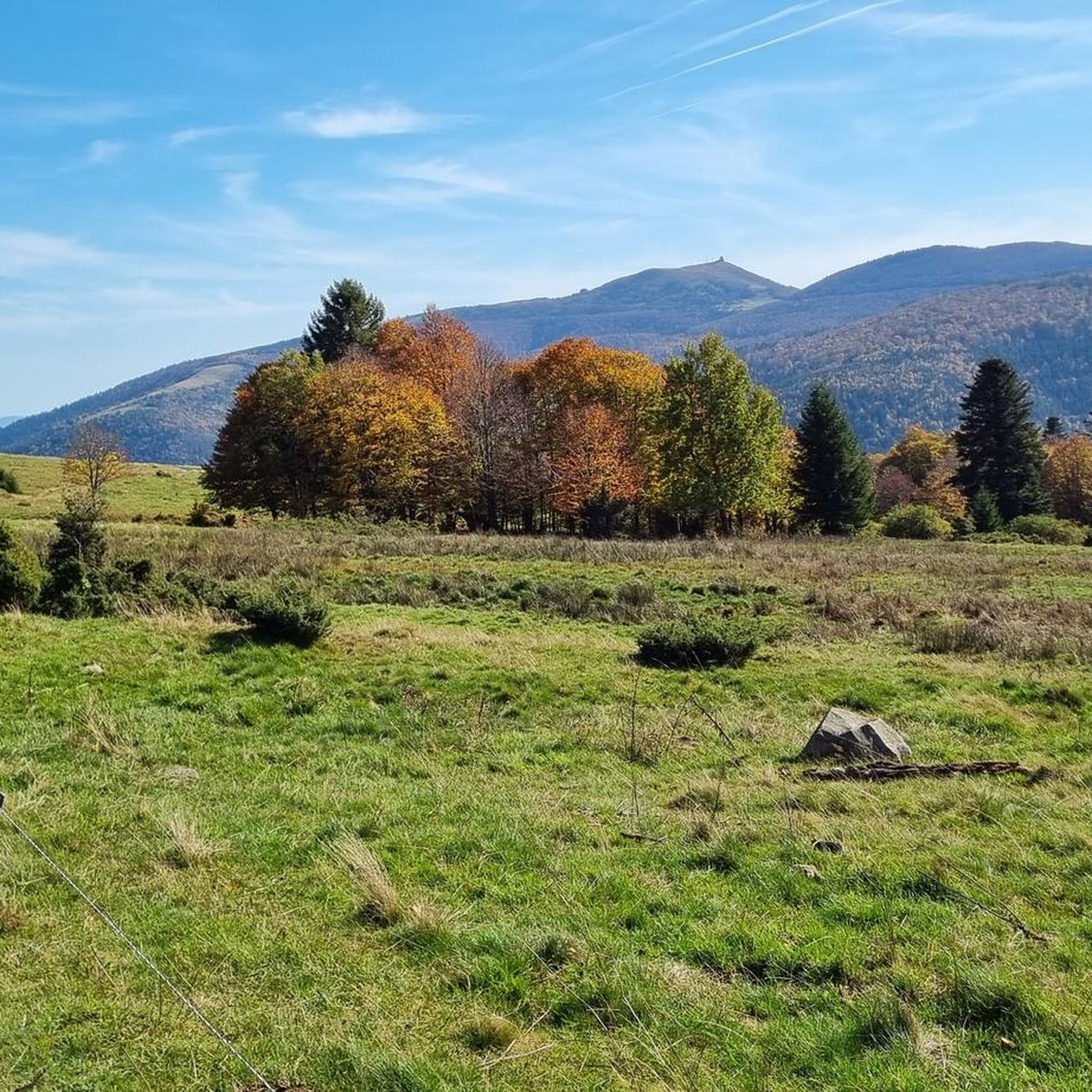
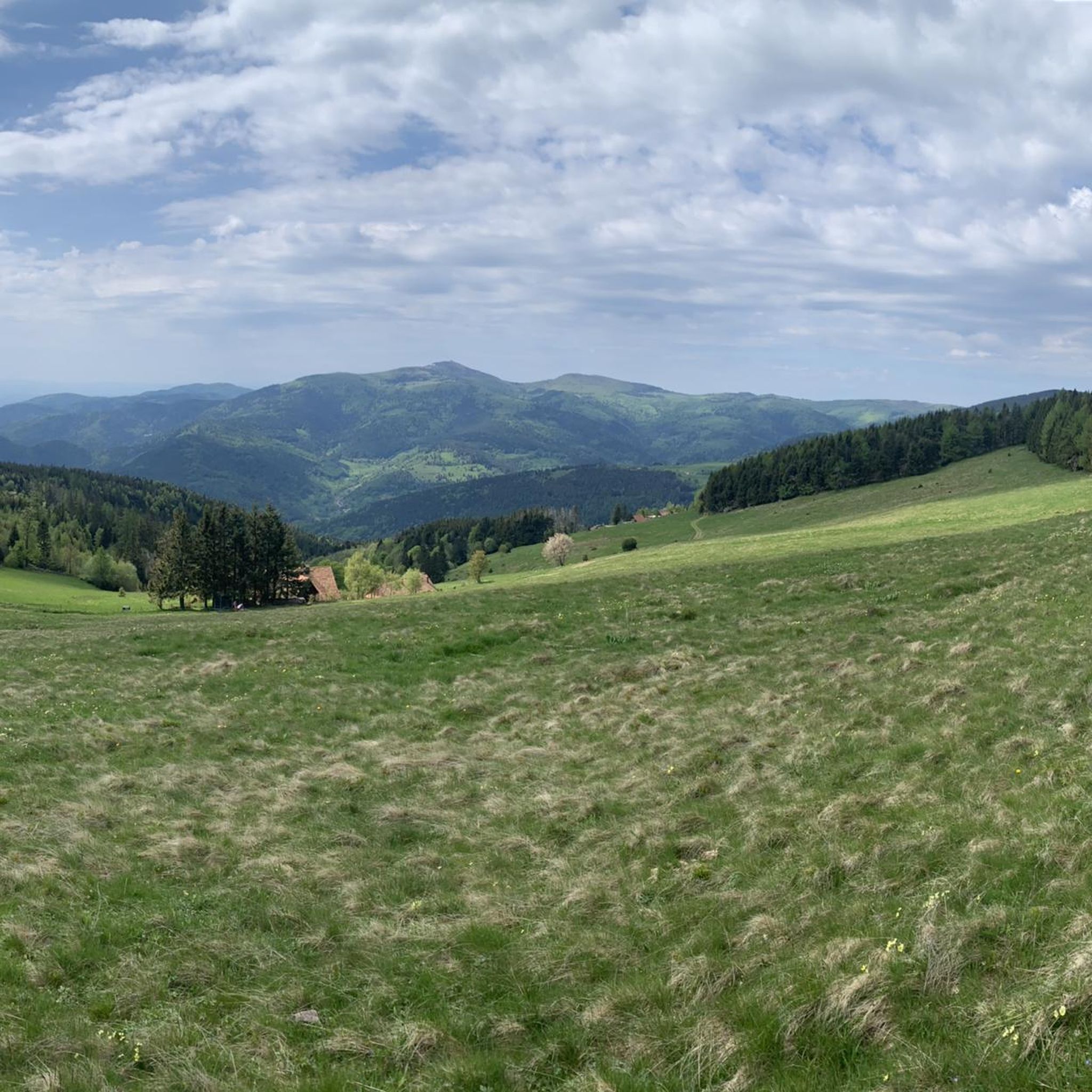
When you drive from the Route des Crêtes towards Le Grand Ballon, you pass the Col du Haag (1233 m) almost unnoticed. Yet, this pass marks a special point on the southern flank of the highest mountain in the Vosges. Here, steep roads from the Thurdal leave the wooded slopes and reach the open heights of the massif. From the col, a typical Vosges landscape unfolds with mountain meadows, scattered farms, and sweeping views. The proximity of the Grand Ballon is felt everywhere: the imposing summit towers above the pass and forms the natural goal of the final climbing kilometers. For cyclists, the Col du Haag is mainly known as the point where difficult climbs from the valleys converge before the road continues to rise to the highest point of the Vosges.
6
0

Stuwdam Lac de Kruth‑Wildenstein View over the quiet mountain lake on one side, and on the other side the steep, wooded rock face of the Thur valley.
8
0
The Cascade du Bockloch is an atmospheric waterfall in Alsace (Haut-Rhin department), located on the wooded northeastern bank (right bank) of the Kruth-Wildenstein Lake. The waterfall is fed by the Hinterbockloch mountain stream, which originates on the slopes of the nearby Grand Ventron massif. Water plunges here via an abrupt, steep rock face about 12 meters down into a small, photogenic basin, just before it flows into the reservoir.
7
0

The Schaeferthalpass (French: Col du Schaeferthal) is an important mountain pass located at an altitude of 1,224 to 1,228 meters in the High Vosges. It connects the ice-age Frankenthal Valley with the glacial cirque of the Schiessrothried lake and forms a central hub for challenging circular hikes.
0
0

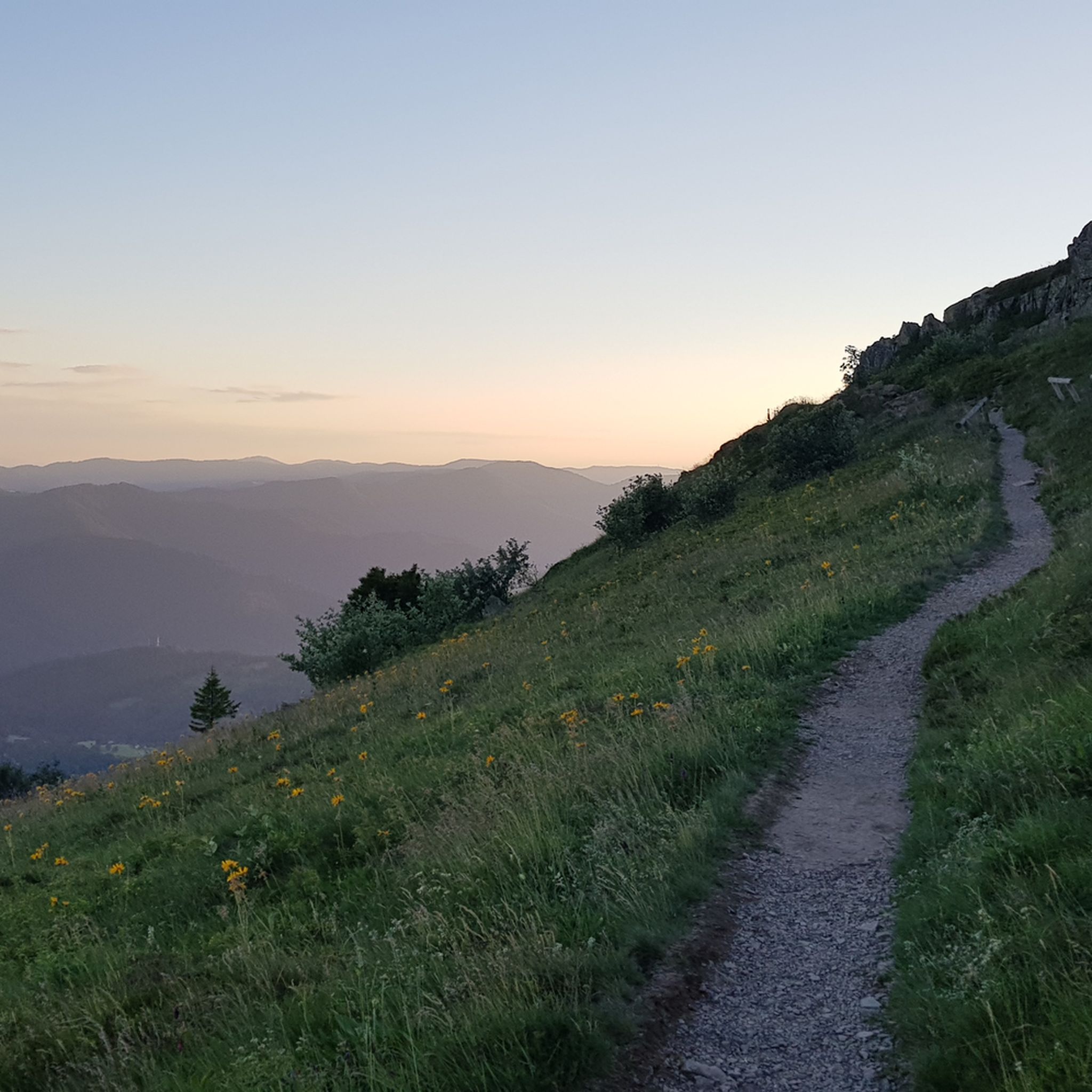
This portion of the GR 531 is very pretty. There is a beautiful viewpoint.
1
0

Just enjoy the beautiful views.
1
0
The GR 531 trail section of Bocklochkopf is closed annually from 01/12 to 30/04.
0
0
Frequently Asked Questions
How many mountaineering routes can I explore around Linthal?
There are over 20 mountaineering routes available around Linthal. The majority, about 15, are rated as moderate, while 5 routes offer a more difficult challenge for experienced mountaineers.
Are there any easy mountaineering routes suitable for beginners in Linthal?
While most routes around Linthal are moderate to difficult, a good starting point for those new to mountaineering could be the Grand Ballon – Panoramic view from the Grand Ballon summit loop from Grand Ballon. It's a moderate route, but at 2.2 miles (3.5 km) and taking about 1 hour 24 minutes, it offers a taste of the region's beauty without extreme demands.
What are some challenging mountaineering routes for experienced climbers in Linthal?
For those seeking a significant challenge, the Lake Fischboedle – Hohneck loop from Mittlach is a difficult 12.7 miles (20.5 km) path with substantial elevation changes and scenic lake views. Another demanding option is the Wild Cat Head – Grand Ventron Summit loop from Wildenstein, which is 19.1 miles (30.7 km) long and also rated difficult.
What is the best time of year for mountaineering in Linthal?
The best time for mountaineering in Linthal is typically from late spring through early autumn (May to October), when the weather is generally more stable and trails are clear of snow. However, conditions can vary, especially at higher elevations, so always check local forecasts before heading out.
Are there any circular mountaineering routes in the Linthal area?
Yes, many of the mountaineering routes around Linthal are circular, allowing you to start and end at the same point. Examples include the Le Grand Ventron – Petit Ventron loop from Kruth and the Col du Schaeferthal loop from Gaschney, both offering diverse landscapes.
What kind of natural attractions can I see along the mountaineering routes in Linthal?
The Linthal region is rich in natural beauty. You can encounter stunning mountain peaks like Hohneck and Grand Ballon, offering panoramic views. There are also beautiful waterfalls such as Bockloch Waterfall and Heidenbad Waterfall, which can be a refreshing sight during your ascent.
What do other mountaineers enjoy most about the routes in Linthal?
The mountaineering routes in Linthal are highly rated by the komoot community, with an average score of 4.7 stars. Reviewers often praise the varied mountain terrain, the significant elevation changes that provide a good workout, and the rewarding panoramic views from the high peaks.
Are there any less crowded mountaineering routes or hidden gems around Linthal?
While specific 'hidden gems' are often discovered by personal exploration, routes that are slightly longer or more challenging tend to be less crowded. Consider exploring areas beyond the most popular summits to find quieter paths and enjoy the solitude of the mountains.
Is public transport available to reach the trailheads for mountaineering in Linthal?
Public transport options to specific trailheads in mountainous regions like Linthal can be limited. It's advisable to research local bus services or shuttle options that might connect to key starting points, especially during peak season. Many trailheads are more easily accessible by car.
What gear should I consider bringing for mountaineering in Linthal?
For mountaineering in Linthal, essential gear includes sturdy hiking boots, appropriate layered clothing for changing mountain weather, a waterproof jacket, sufficient water and snacks, a map and compass or GPS device, and a first-aid kit. Depending on the route's difficulty and season, trekking poles and sun protection are also highly recommended.
Are there any family-friendly mountaineering options in Linthal?
While many routes are moderate to difficult, families with older children who are accustomed to hiking might enjoy shorter, less strenuous sections of the moderate trails. Always check the distance and elevation gain to ensure it matches your family's fitness level. The Grand Ballon loop, though moderate, is relatively short and could be a good option for active families.
Most popular routes around Linthal
Most popular attractions around Linthal

Get inspired with the komoot mobile app


Explore more
Browse the best Mountain Hikes & Routes in other regions.
