The best running trails around Saint-Pancrasse
4.4
(194)
12,518
runners
415
runs
Jogging around Saint-Pancrasse offers diverse terrain within the Isère department, characterized by its mountainous landscape, lush forests, and picturesque valleys. The area features impressive summits like Chamechaude and Dent de Crolles, providing significant elevation changes for challenging runs. Numerous trails wind through mountain pastures and along torrents, offering varied environments for runners. This region provides a dynamic setting for exploring the natural beauty of the Auvergne-Rhône-Alpes.
Best jogging routes around Saint-Pancrasse
- The most popular jogging route is Pravouta Loop Trail…
Last updated: October 10, 2026
5.0
(1)
57
runners
4.71km
00:50
300m
310m
This difficult 2.9-mile (4.7 km) jogging loop in Chartreuse Regional Natural Park offers 998 feet (304 metres) of elevation gain and panoram
5.0
(1)
61
runners
13.1km
02:30
820m
820m
Hard run. Very good fitness required. Sure-footedness, sturdy shoes and alpine experience required.

38
runners
8.81km
01:30
410m
410m
Hard run. Very good fitness required. Sure-footedness, sturdy shoes and alpine experience required.
15
runners
10.5km
02:00
710m
710m
Hard run. Very good fitness required. Sure-footedness, sturdy shoes and alpine experience required.
11
runners
12.0km
02:02
590m
590m
Hard run. Very good fitness required. Sure-footedness, sturdy shoes and alpine experience required.
Get access to more routes and recommendations from other explorers.
Already have an account?
Our route recommendations are based on thousands of hikes, rides, and runs completed by other people on komoot.
Start today with a free account
Your next adventure awaits.
Tips from the Community


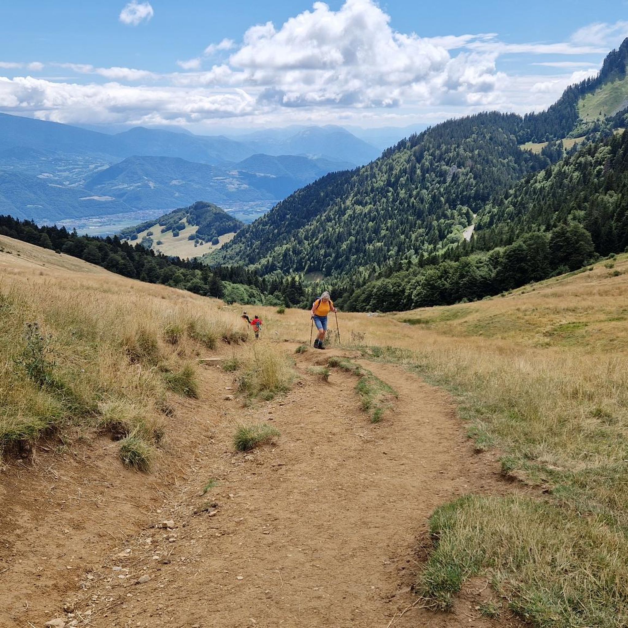
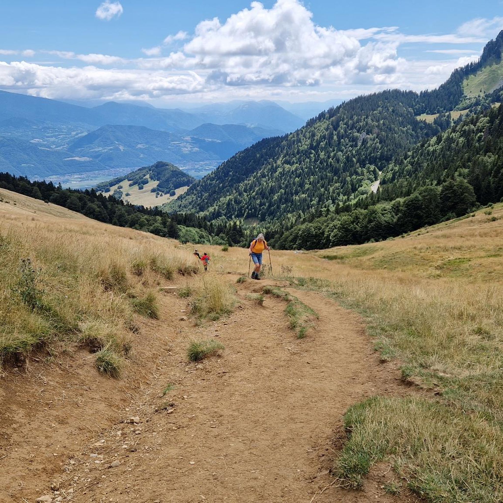
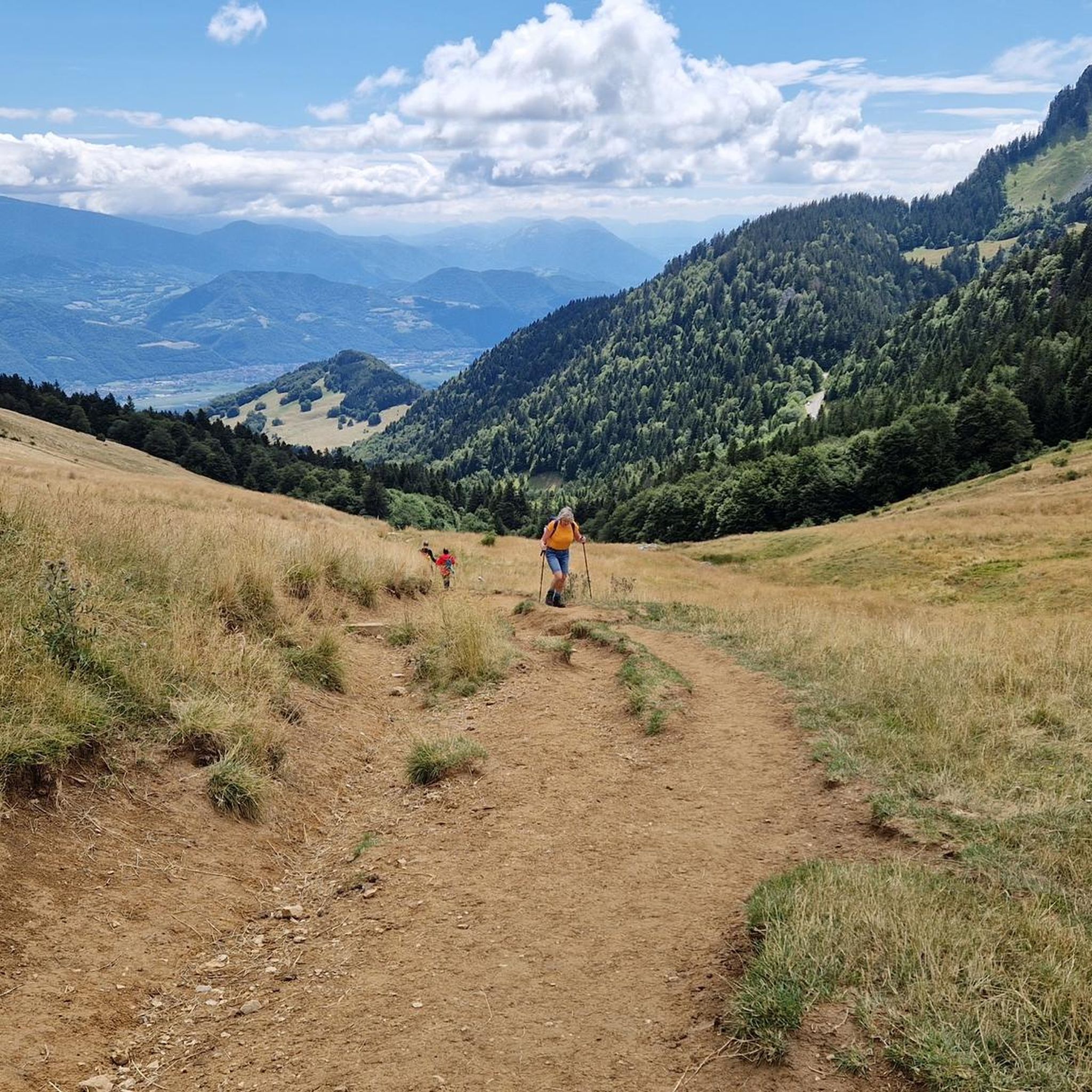
Exceptional site at the foot of the Dent de Crolle with access via a wild forest road
2
0

There's still a lot to do if you want to climb the Dent de Crolles :)
0
0


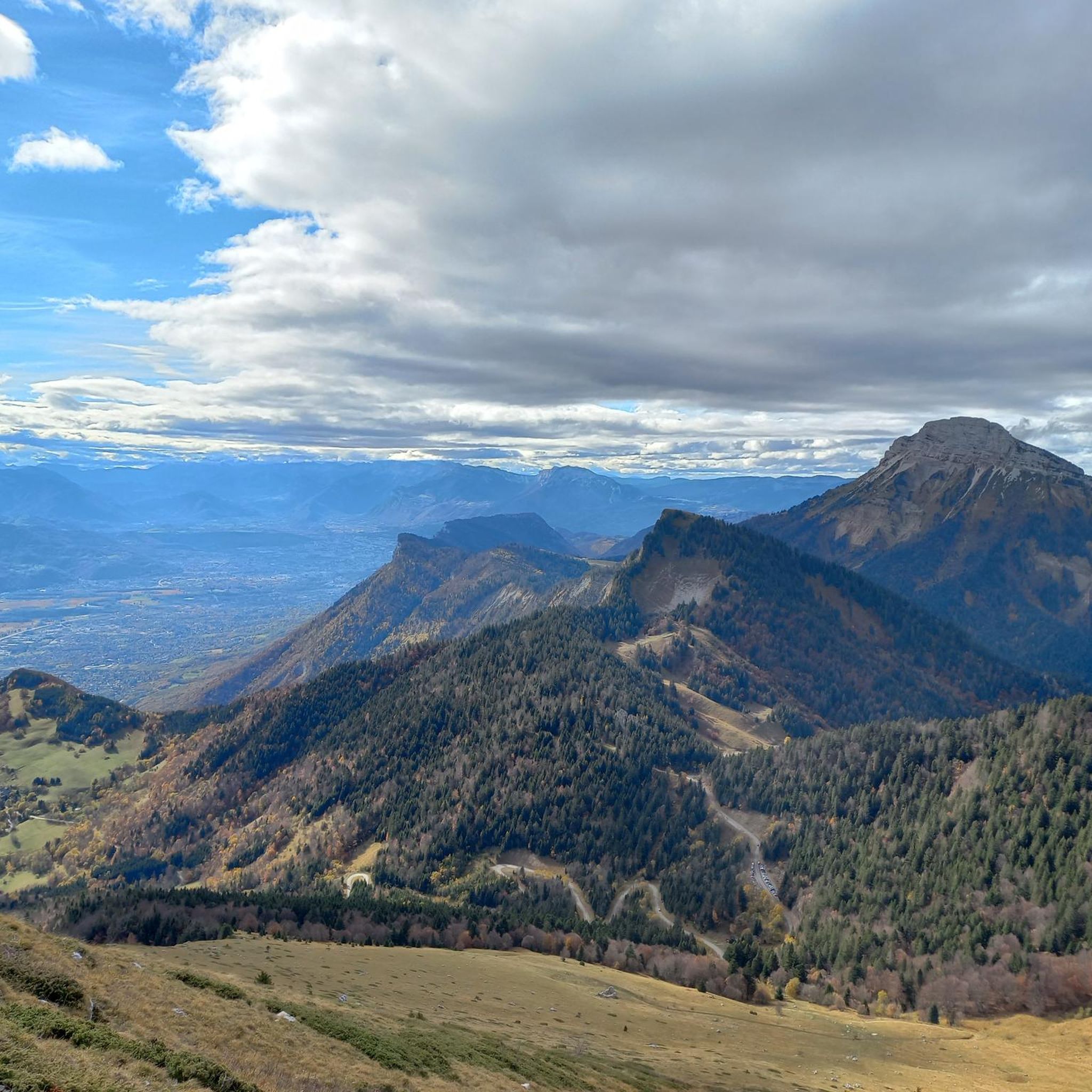
Perched at 1,434 meters, the Col du Coq is accessible after a twelve-kilometer climb regardless of the direction of the road taken. It offers a beautiful view of the Dent de Crolles.
0
0

Starting point for the Dent de Crolles for the bravest and for Pravouta for those who wish to take a short family stroll.
1
0

A pass with little crowds (end of April 2024). The road is open despite the signs (no snow removal). The bitumen is correct, average in places (mounted in Gravel). A few very steep slopes with a small flat area which allows you to breathe on the Charteuse side. No infrastructure at the top. Road and bitumen in good condition on the St-Pacrasse side.
2
1

Superb pass located at an altitude of 1,538 meters, at the foot of the Dent de Crolles and Pravouta.
2
0
Frequently Asked Questions
How many running routes are available in Saint-Pancrasse?
Saint-Pancrasse offers a wide selection of running routes, with over 360 trails available. These routes cater to various fitness levels, ranging from easy paths to very difficult challenges.
Are there easy running routes suitable for beginners in Saint-Pancrasse?
Yes, Saint-Pancrasse features 18 easy running routes perfect for beginners or those looking for a relaxed jog. These trails typically offer gentler terrain and less elevation gain, allowing you to enjoy the scenic environment at a comfortable pace.
Where can I find challenging trail running routes in Saint-Pancrasse?
For experienced trail runners seeking a challenge, Saint-Pancrasse boasts over 200 difficult routes. Trails like the Plateaus, ridges and valleys of the east, a 20.1-mile path with significant elevation, or the Saint-Hilaire-du-Touvet loop from Saint-Hilaire-du-Touvet, a 9.3-mile trail through mountainous terrain, offer demanding ascents and rewarding views.
What kind of terrain can I expect on the jogging trails around Saint-Pancrasse?
The jogging trails in Saint-Pancrasse offer incredibly diverse terrain. You'll encounter mountainous landscapes, lush forests, and picturesque valleys. Routes often feature passages through beautiful mountain pastures, rocky areas, and even sections along torrents, providing a varied and engaging environment for runners.
Are there any running routes with scenic views in Saint-Pancrasse?
Absolutely. Jogging in Saint-Pancrasse provides constant exposure to breathtaking panoramas. Many routes offer sweeping views of the Grésivaudan valley, especially from higher elevations like those near Dent de Crolles. You can also enjoy the serene ambiance of forest trails and mountain pastures.
What are the most popular running trails in Saint-Pancrasse?
Among the local favorites, the Pravouta Loop Trail is highly popular, known for its challenging ascent. Another well-loved route is the Col des Ayes loop from Saint-Pancrasse, which offers a significant climb and beautiful scenery.
What do other runners enjoy the most about jogging in Saint-Pancrasse?
The running routes in Saint-Pancrasse are highly rated by the komoot community, with an average score of 4.4 stars from over 130 reviews. Runners often praise the region's diverse terrain, the stunning panoramic views, and the well-maintained trails that cater to all fitness levels.
Are there any notable landmarks or attractions along the running routes?
Yes, Saint-Pancrasse is surrounded by impressive natural landmarks. You can find routes that pass near majestic peaks like Chamechaude and Dent de Crolles, offering exceptional views. Mountain passes such as Col de Porte (1326 m) and Col du Coq also provide varied topography and scenic points of interest.
Can I find circular running routes in Saint-Pancrasse?
Yes, many of the running routes in Saint-Pancrasse are circular, allowing you to start and finish at the same point. This is convenient for those using personal transport. Examples include the Pravouta Loop Trail and the Col des Ayes – Pravouta loop from Bernin.
Are there any specific considerations for winter running in Saint-Pancrasse?
While Saint-Pancrasse offers year-round beauty, winter running, especially at higher altitudes, requires caution. The mountainous terrain can become challenging with snow and ice. It's advisable to check trail conditions and weather forecasts, and to be prepared with appropriate gear for alpine environments.
What is the best time of year to go jogging in Saint-Pancrasse?
The spring, summer, and autumn months generally offer the most pleasant conditions for jogging in Saint-Pancrasse. During these seasons, the trails are typically clear, and the lush forests and mountain pastures are at their most vibrant. Always check local weather conditions before heading out.
Are there any running routes that pass by waterfalls or gorges?
While not directly on the listed routes, the region around Saint-Pancrasse is known for dramatic natural features like the Saint-Même Cirque Waterfalls and the Gorges de la Bourne. You can find routes in the broader Chartreuse Regional Natural Park that explore these areas, offering stunning views of cascades and deep ravines.
Most popular routes around Saint-Pancrasse
Most popular attractions around Saint-Pancrasse

Get inspired with the komoot mobile app


Explore more
Browse the best Running Trails & Routes in other regions.
