The best walks and hikes around Saint-Hilaire
4.5
(314)
2,235
hikers
24
hikes
Hiking around Saint-Hilaire offers access to the mountainous terrain of the Chartreuse Massif, characterized by significant elevation changes, deep valleys, and prominent passes. The region features a network of trails that traverse varied landscapes, including forested slopes and open areas with panoramic views. Natural features like waterfalls and mountain passes are common along the hiking routes.
Best hiking trails around Saint-Hilaire
- The most popular hiking route is Dioux Waterfall – Beautiful view loop from Saint-Hilaire-du-Touvet, a 6.7 miles (10.8…
Last updated: July 9, 2026
4.7
(79)
462
hikers
Easy hike. Great for any fitness level. Easily-accessible paths. Suitable for all skill levels.
4.3
(3)
20
hikers
Moderate hike. Good fitness required. Easily-accessible paths. Suitable for all skill levels.

Sign up for free
5.0
(1)
35
hikers
12.1km
06:34
1,000m
1,000m
Hard hike. Very good fitness required. Sure-footedness, sturdy shoes and alpine experience required.
5.0
(1)
15
hikers
21.3km
09:12
1,250m
1,250m
Hard hike. Very good fitness required. Sure-footedness, sturdy shoes and alpine experience required.
5.0
(1)
20
hikers
12.3km
06:32
1,020m
1,020m
Hard hike. Very good fitness required. Sure-footedness, sturdy shoes and alpine experience required.
Get access to more routes and recommendations from other explorers.
Sign up for free
Already have an account?
Our route recommendations are based on thousands of hikes, rides, and runs completed by other people on komoot.
Start today with a free account
Your next adventure awaits.
Login or Signup
Popular around Saint-Hilaire
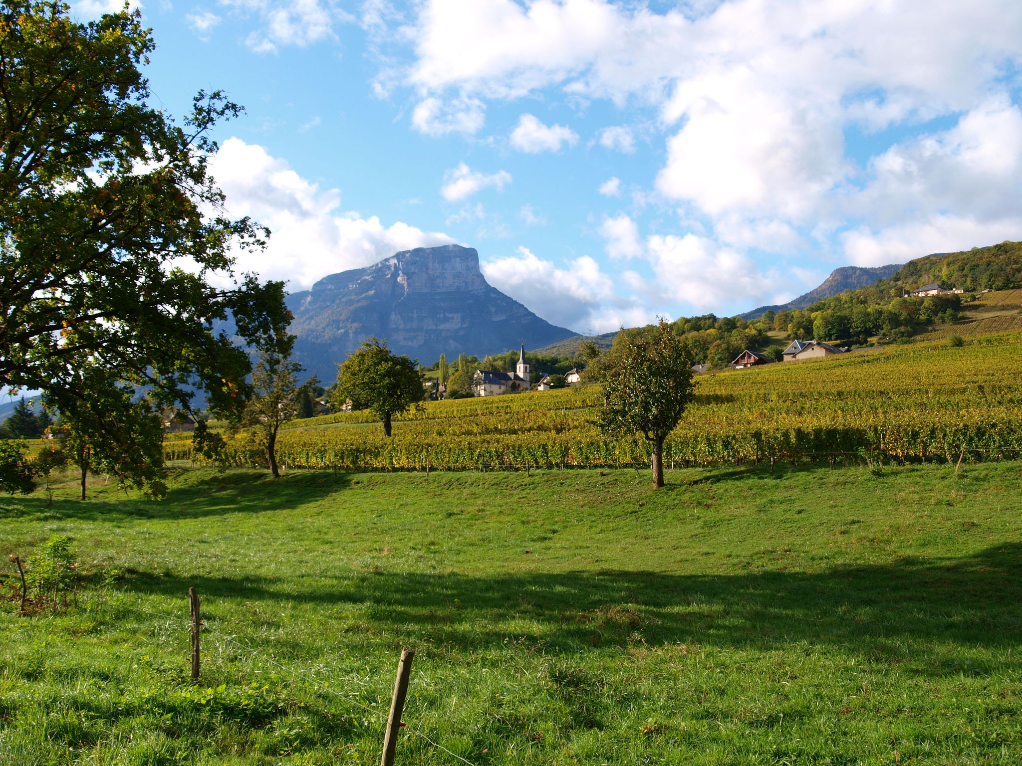
Follow the Huguenots — from Grenoble to Geneva on the GR 965
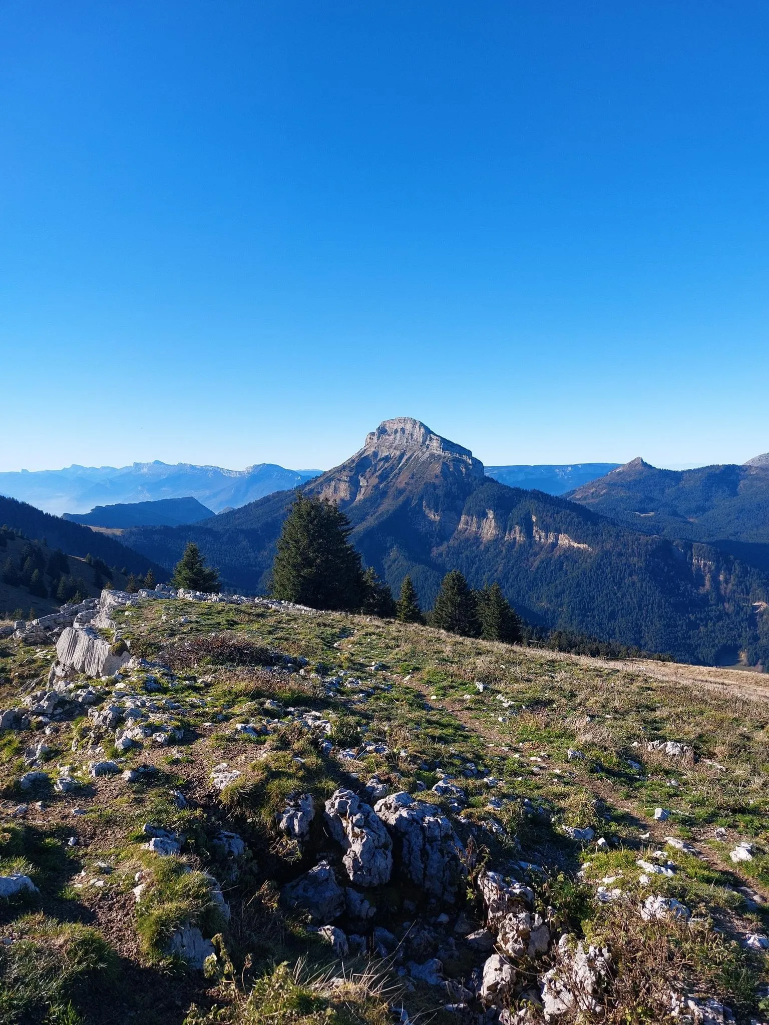
Summits, plateaus and panoramas — 20 trail outings in Chartreuse
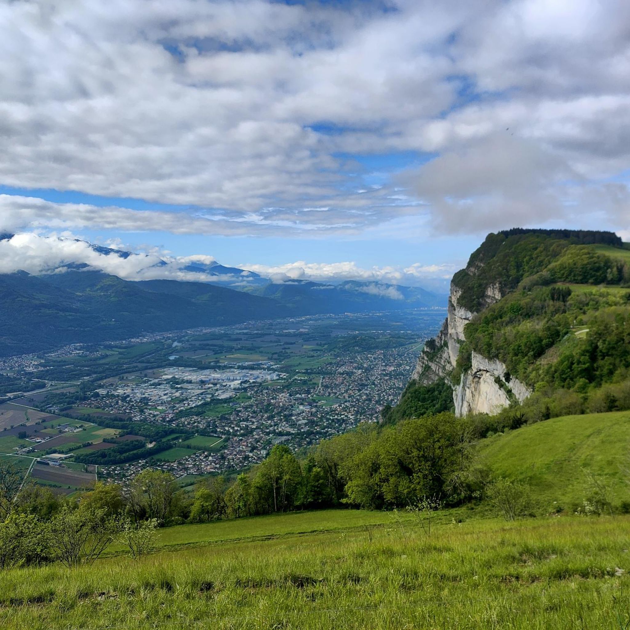
Cycling around Saint-Hilaire
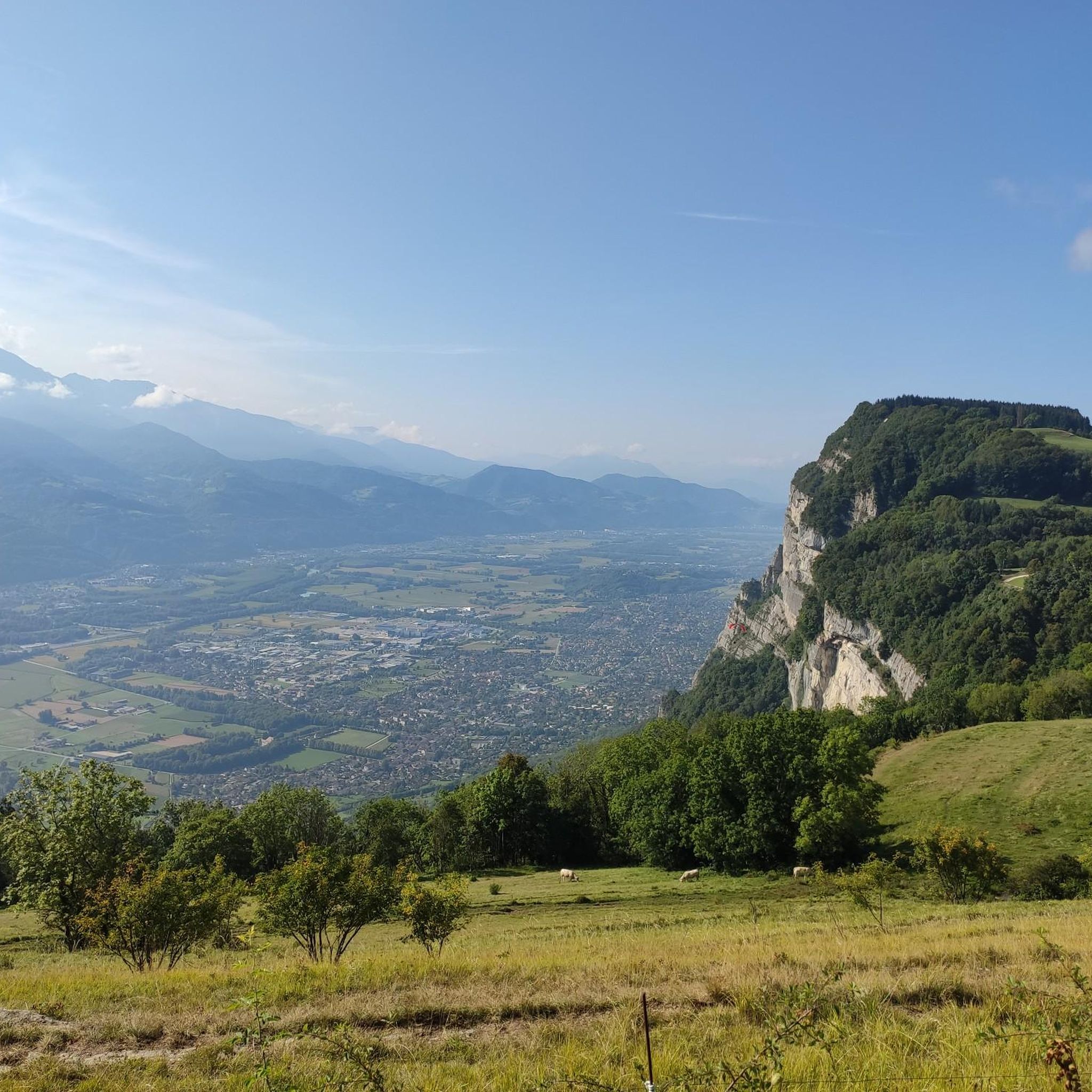
Road Cycling Routes around Saint-Hilaire
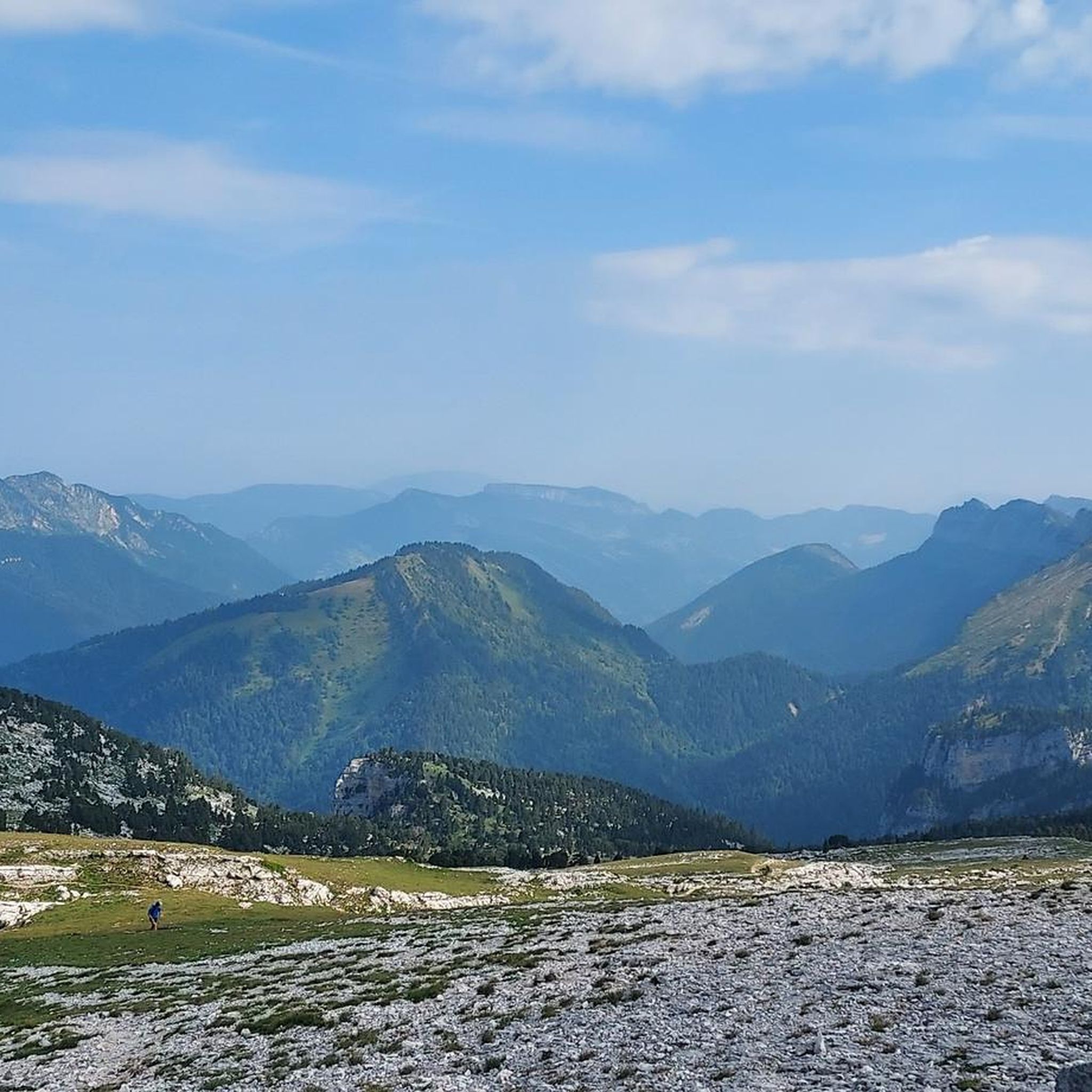
Running Trails around Saint-Hilaire
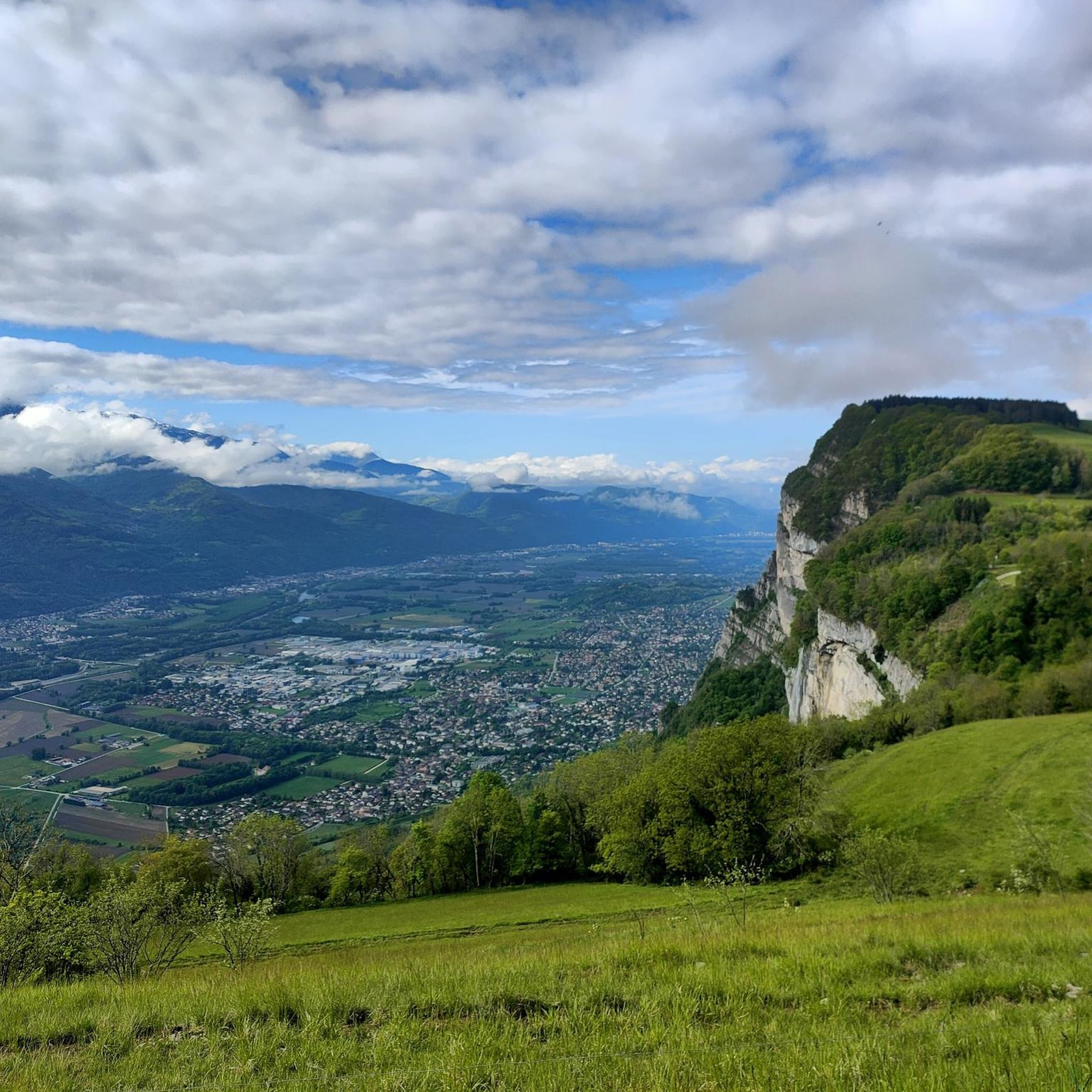
MTB Trails around Saint-Hilaire

Mountain Hikes around Saint-Hilaire
Gravel biking around Saint-Hilaire


Tips from the Community

Here, the hiker will indeed encounter a very special small sacred monument as a highlight. For this cross is not only a symbol of the faith of its founder—like all its kind—but also of the craftsmanship of its creator (although I am unable to judge whether it was hand-forged or cast iron).
0
0

The cross of the Aulp du seuil is located at 1825m above the cirque and marks the entrance to the high plateaus.
0
0
dangerous passage to go back down to the strap of the threshold aulp.
0
0

Beautiful rock formation. Here is one of the steepest sections
0
0
A stunning summit with views of Mont Blanc. The two climbs from the Col des Ayes are relatively steep, but steel cables are installed at the more dangerous sections. The climb north via the Trou du Glaz is a bit longer and a bit easier. The climb east is a bit steeper and more exposed. The view is good, though.
1
0

Great for a quick day hike. May not be pleasurable right after rains due to mud.
0
0

Great hike! Make sure you have good shoes with crampons because some slopes are a bit slippery. Magnificent view at the top.
0
0

Frequently Asked Questions
How many hiking trails are available around Saint-Hilaire?
There are over 25 hiking routes available around Saint-Hilaire, catering to various skill levels. This includes 10 easy, 9 moderate, and 7 difficult trails, ensuring options for everyone from casual walkers to experienced mountaineers.
What kind of terrain can I expect when hiking in Saint-Hilaire?
Hiking around Saint-Hilaire primarily involves the mountainous terrain of the Chartreuse Massif. You can expect significant elevation changes, deep valleys, and prominent mountain passes. Trails traverse varied landscapes, including forested slopes and open areas with panoramic views.
Are there any waterfalls to see on the trails around Saint-Hilaire?
Yes, the region is known for its natural features, including waterfalls. For example, the Dioux Waterfall – Beautiful view loop from Saint-Hilaire-du-Touvet is a popular moderate route that features a waterfall. You can also explore the Saint-Même Cirque Waterfalls and Gouille Waterfall, which are notable natural monuments in the area.
Are there any challenging hikes for experienced trekkers?
Absolutely. Saint-Hilaire offers several challenging routes. The Rocheplane Pass – Saint-Hilaire-du-Touvet loop from Saint-Hilaire-du-Touvet is a difficult 7.1-mile path with substantial ascents to a mountain pass, offering expansive views. Another demanding option is the Bellefont Pass – Vallon de Marcieu loop from Saint-Hilaire-du-Touvet, an 11.6-mile trail through mountain passes and a valley.
What are some notable viewpoints or landmarks along the hiking trails?
Hikers can enjoy breathtaking panoramic views of the Chartreuse Valley and surrounding peaks. Key landmarks include several mountain passes like Bellefont Pass, Col de Porte (1326 m), and Col du Coq. The Dent de Crolles is also a prominent summit in the area.
Are there any circular hiking routes in Saint-Hilaire?
Yes, many of the trails around Saint-Hilaire are designed as loops, allowing you to start and end at the same point. Examples include the popular Dioux Waterfall – Beautiful view loop from Saint-Hilaire-du-Touvet and the challenging Rocheplane Pass – Saint-Hilaire-du-Touvet loop from Saint-Hilaire-du-Touvet.
What do other hikers say about the trails in Saint-Hilaire?
The routes in Saint-Hilaire are highly rated by the komoot community, with an average score of 4.5 stars from over 280 reviews. Hikers often praise the varied terrain, the stunning mountain views, and the well-maintained network of trails that offer options for all abilities.
How long do hikes typically take in Saint-Hilaire?
Hike durations vary significantly based on the trail's length and difficulty. A moderate route like the Dioux Waterfall – Beautiful view loop typically takes around 3 hours 28 minutes. More difficult and longer trails, such as the Bellefont Pass – Vallon de Marcieu loop, can take over 8 hours to complete.
Is Saint-Hilaire suitable for family-friendly hikes?
While the region is known for its mountainous terrain, there are easier trails suitable for families. With 10 easy routes available, you can find paths with gentler slopes and shorter distances, perfect for a family outing. Look for routes described as 'easy' to ensure a comfortable experience for all ages.
Are there any specific natural monuments to explore near Saint-Hilaire?
Beyond the general mountain landscape, you can discover specific natural monuments. These include the impressive Saint-Même Cirque Waterfalls, the prominent Dent de Crolles summit, and various mountain passes like Bellefont Pass.
What is the best time of year to go hiking in Saint-Hilaire?
The best time to hike in Saint-Hilaire largely depends on the specific trail and your experience level. Spring and autumn offer pleasant temperatures and beautiful scenery, especially for viewing autumn foliage. Some higher-altitude or more challenging routes might be better suited for summer, while winter hikes are possible on specific trails, often requiring appropriate gear and conditions.
Most popular routes around Saint-Hilaire
Most popular attractions around Saint-Hilaire

Get inspired with the komoot mobile app


Explore more
Browse the best Hikes in other regions.
