The best walks and hikes around Mackenheim
4.6
(6660)
25,525
hikers
609
hikes
Hiking trails around Mackenheim are characterized by the Rhine River and its extensive alluvial forests, offering a diverse natural landscape for outdoor activities. The region features flat terrain along the riverbanks and through woodlands, with minimal elevation changes. These natural environments support a rich variety of flora and fauna, providing varied hiking experiences for different skill levels.
Best hiking trails around Mackenheim
- The most popular hiking route is Grienwasser – Rhine Oxbow loop from Wyhl, a 3.3 miles (5.3…
Last updated: July 2, 2026
4.7
(101)
319
hikers
5.30km
01:20
10m
10m
Easy hike. Great for any fitness level. Easily-accessible paths. Suitable for all skill levels.
4.9
(9)
21
hikers
10.9km
02:45
20m
20m
Moderate hike. Good fitness required. Easily-accessible paths. Suitable for all skill levels.

Sign up for free
3.5
(6)
45
hikers
7.64km
01:56
10m
10m
Easy hike. Great for any fitness level. Easily-accessible paths. Suitable for all skill levels.
5.0
(6)
25
hikers
Easy hike. Great for any fitness level. Easily-accessible paths. Suitable for all skill levels.
4.2
(5)
27
hikers
9.30km
02:21
10m
10m
Moderate hike. Good fitness required. Easily-accessible paths. Suitable for all skill levels.
Get access to more routes and recommendations from other explorers.
Sign up for free
Already have an account?
Our route recommendations are based on thousands of hikes, rides, and runs completed by other people on komoot.
Start today with a free account
Your next adventure awaits.
Login or Signup
Tips from the Community

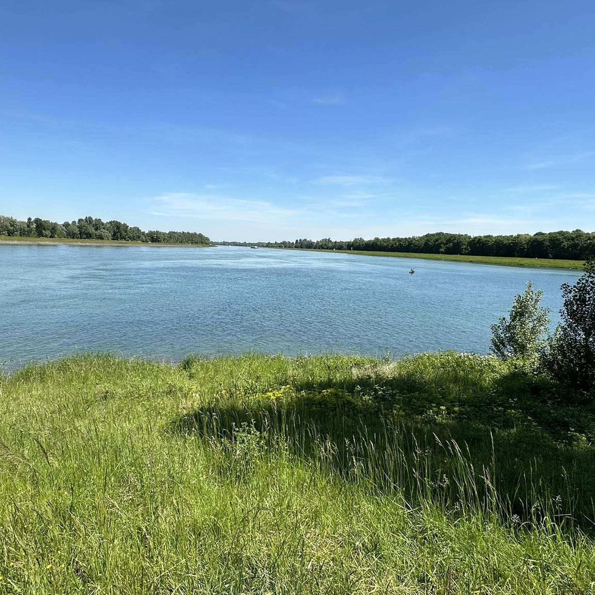
It's simply wonderful to sit here "on the beach" on sunny days 😉
0
0

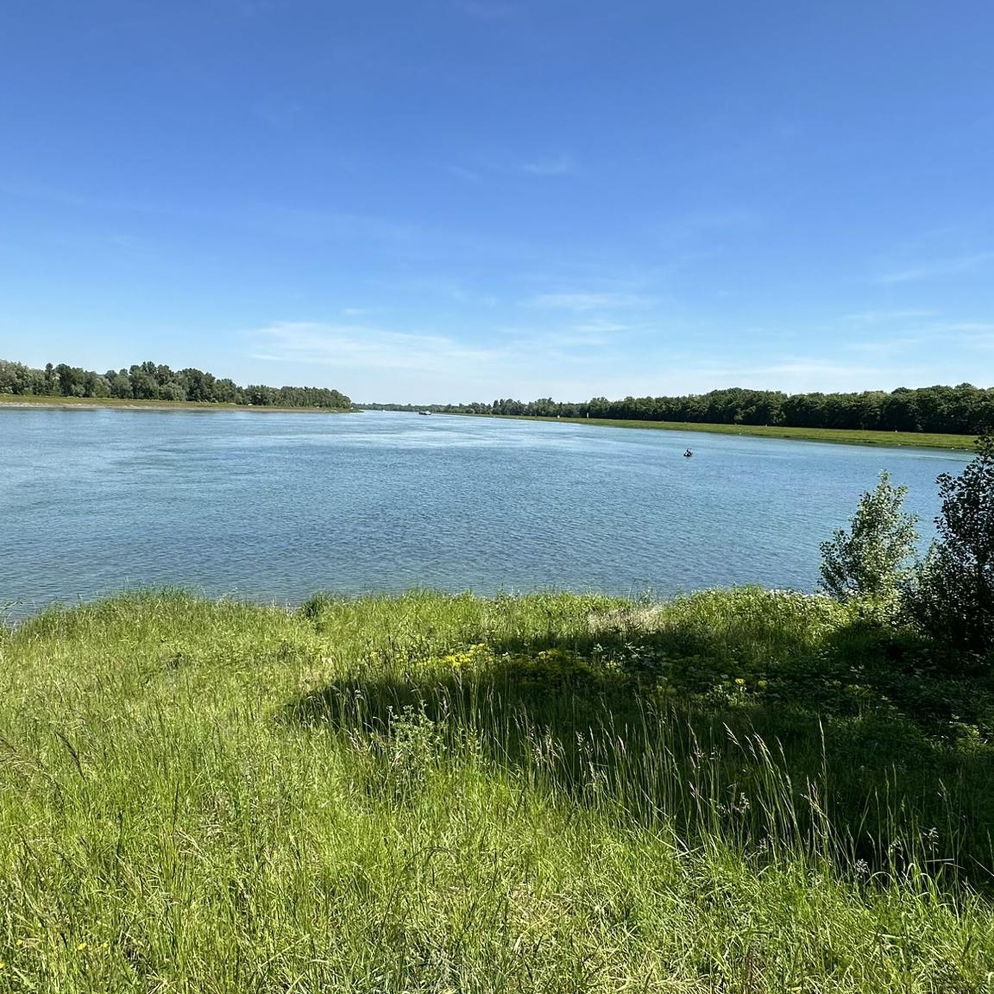
The Rhine is 1,232 km long. It originates in the canton of Graubünden and flows into the North Sea in the Netherlands.
0
0

Beautiful cycle path on the Rhine dam with the best view of the water and across to France.
1
0

Information board birds and wild bee hotel
0
0

One of the many branches of the old Rhine in the Tauber Gießen nature reserve. The Wyhl nature trail leads past here.
0
0
Here you walk on small paths through the near-natural alluvial forest and can test your knowledge about its inhabitants at the information stations.
0
0

A nice conclusion at the end of an eventful nature hike, you can still hear different bird voices on a hand-operated, wooden machine. A highlight for the whole family.
0
0

Beautiful, lovingly carved and partly painted wooden sculptures
1
0
Frequently Asked Questions
How many hiking trails are available around Mackenheim?
Mackenheim offers a wide variety of hiking experiences with over 600 routes. These include more than 360 easy trails, 220 moderate options, and a smaller selection of challenging routes for experienced hikers.
What kind of terrain can I expect on hikes in Mackenheim?
The terrain around Mackenheim is primarily characterized by the Rhine River and its extensive alluvial forests. You'll find mostly flat paths along riverbanks and through woodlands, with minimal elevation changes, making it suitable for various fitness levels.
Are there any family-friendly hiking options in Mackenheim?
Yes, Mackenheim has many easy routes perfect for families. For example, the Grienwasser – Rhine Oxbow loop from Wyhl is an easy 5.3 km trail that takes about 1 hour 20 minutes to complete, exploring the natural beauty of the Rhine oxbow. Another great option is the Tovar Memorial Stone – Rheinauwald Wyhl Nature Trail loop from Etterpfad, an easy 5.8 km route through the nature reserve.
Can I bring my dog on the hiking trails in Mackenheim?
Many trails in Mackenheim are suitable for dogs, especially those through the alluvial forests and along the Rhine. The region's natural environment provides plenty of space for your canine companion. Always ensure your dog is under control and check for any specific local regulations regarding pets in nature reserves.
What natural features can I see while hiking in Mackenheim?
Mackenheim is rich in natural beauty, centered around the Rhine River and its unique alluvial forests. You can explore diverse flora, including various tree species like oaks, ash, and lime trees, and spot wildlife such as beavers, kingfishers, and black kites. The Rheinauwald Wyhl Nature Trail is an excellent way to experience these near-natural forests.
Are there any circular hiking routes available?
Yes, many routes in Mackenheim are circular, offering convenient starting and ending points. Popular circular trails include the easy Grienwasser – Rhine Oxbow loop from Wyhl and the moderate Grienwasser – Rhine Oxbow – Sculpture Trail Weisweil loop from Wyhl, which combines natural landscapes with artistic installations.
What are the best times of year to hike in Mackenheim?
The best times for hiking in Mackenheim are spring and autumn. In spring, the forests are vibrant with lush greenery and colorful flowers. Autumn offers a picturesque display as the leaves change into a beautiful array of colors, making for stunning scenery.
What do other hikers say about the trails in Mackenheim?
The hiking trails around Mackenheim are highly rated by the komoot community, with an average score of 4.6 stars from over 6,900 reviews. Hikers often praise the peaceful atmosphere of the alluvial forests, the well-maintained paths, and the opportunity to observe local wildlife, especially beavers.
Are there any historical or cultural attractions near the hiking trails?
While hiking, you can explore several points of interest. Consider visiting historical sites like Sponeck Castle or the Schwendi Castle Ruins (Burkheim). For art enthusiasts, routes like the Sculpture Trail Weisweil – Wooden Dog Sculptures loop from Wyhl combine nature with artistic installations.
Are there any viewpoints or scenic spots along the trails?
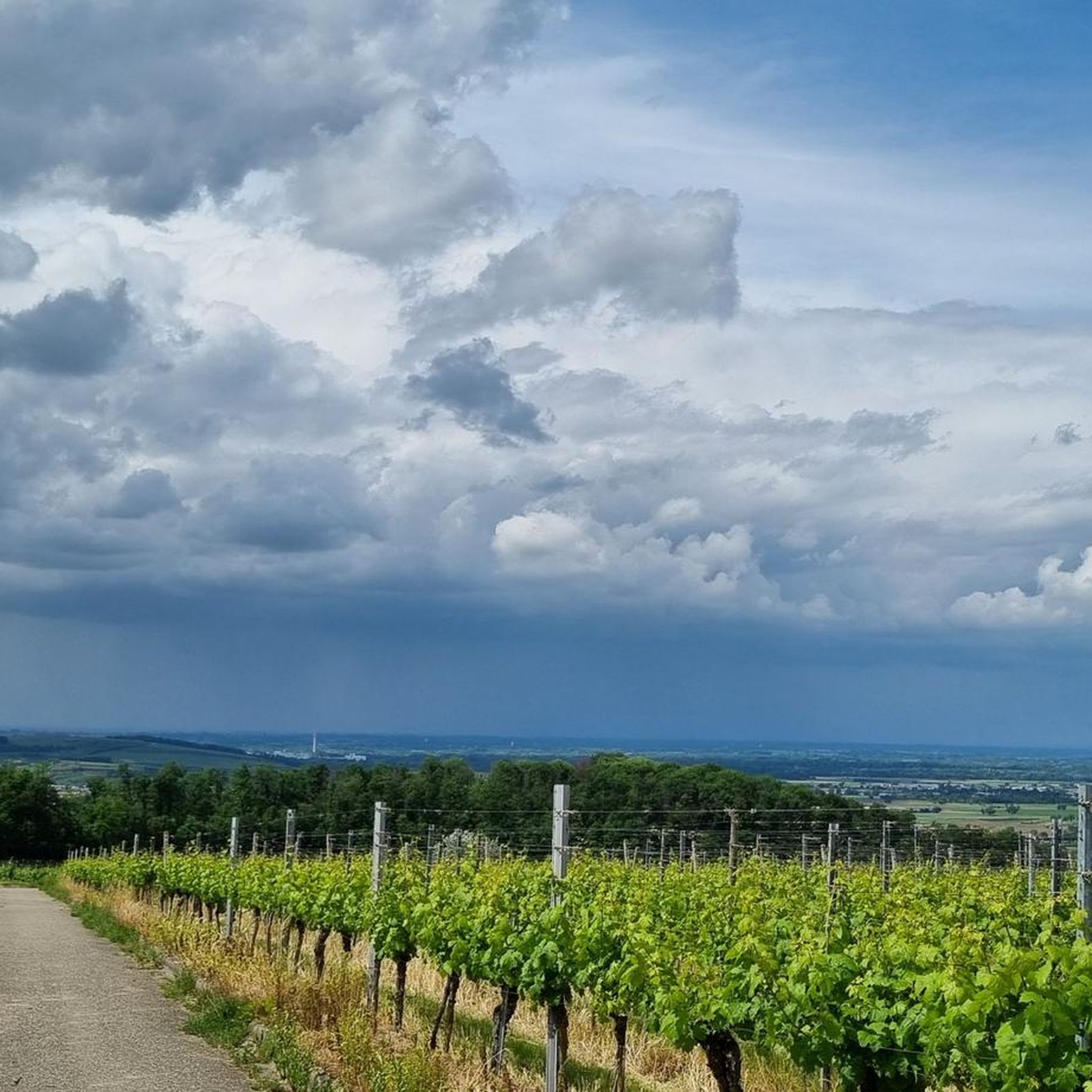
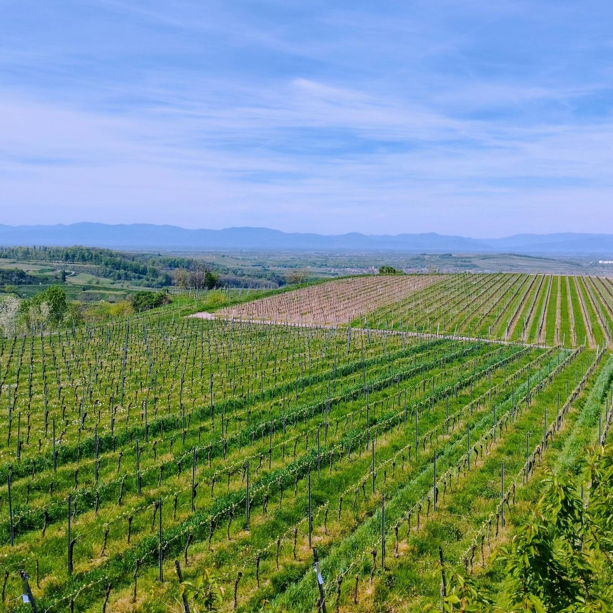
Many trails offer scenic views, particularly along the Rhine River and within the open areas of the alluvial forests. You can also find specific viewpoints like the View of the Kaiserstuhl Vineyards, which provides expansive vistas of the surrounding landscape.
What is the 'Beaver Circuit' and where can I find it?
The 'Beaver Circuit' is an approximately 4 km discovery trail in the Mackenheim forest massif, designed to highlight the successful reintroduction of beavers in the region. It allows visitors to explore rivers, an arboretum, and the characteristic flora and fauna of the Ried. While not explicitly listed in the routes, it's a key feature of the local nature experience.
Are there any trails that combine nature with art?
Yes, Mackenheim offers unique routes that blend natural beauty with artistic elements. The Grienwasser – Rhine Oxbow – Sculpture Trail Weisweil loop from Wyhl and the Rheinauen – Sculpture Trail loop from Wyhl are excellent examples, featuring sculptures integrated into the natural landscape.
Most popular routes around Mackenheim
Most popular attractions around Mackenheim

Get inspired with the komoot mobile app


Explore more
Browse the best Hikes in other regions.
