The best walks and hikes around Heiteren
4.3
(2370)
11,890
hikers
418
hikes
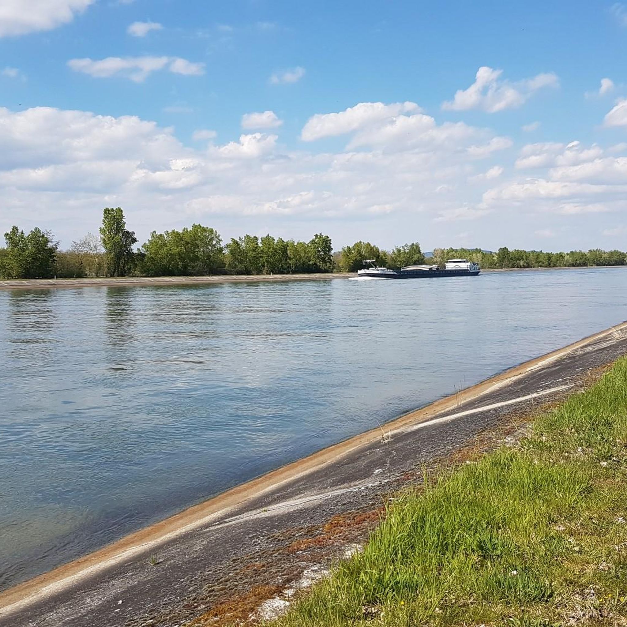
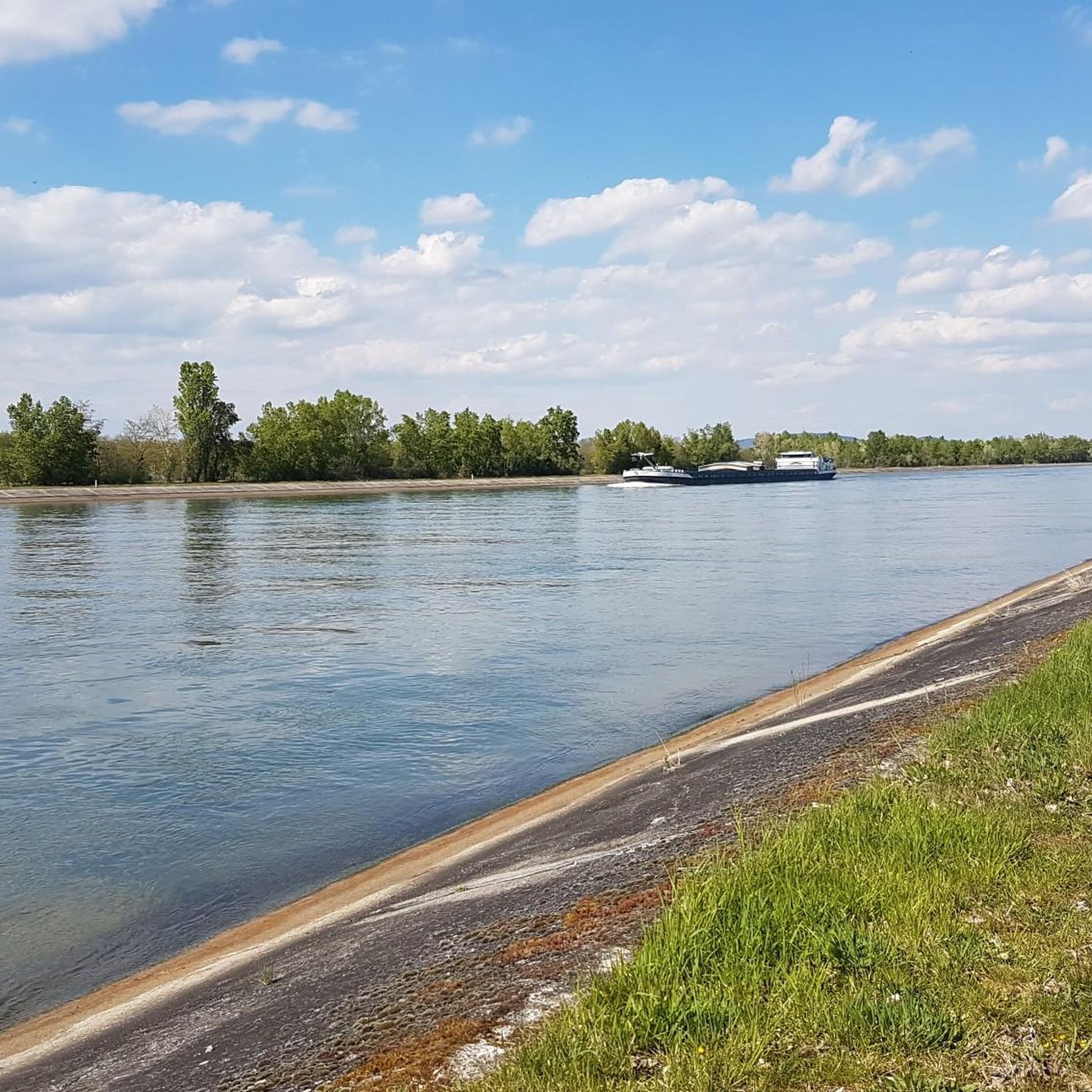
Hiking around Heiteren offers routes through a relatively flat landscape, with elevations ranging from approximately 196 to 209 meters. The area is characterized by its proximity to the Rhine River, featuring paths along its banks and through adjacent natural areas. Trails often pass by small bodies of water and open countryside, providing accessible outdoor experiences. The terrain is generally gentle, making it suitable for various activity levels.
Best hiking trails around Heiteren
- The most popular hiking route is Rest Area…
Last updated: July 1, 2026
4.5
(57)
217
hikers
Moderate hike. Good fitness required. Easily-accessible paths. Suitable for all skill levels.
5.0
(6)
23
hikers
Easy hike. Great for any fitness level. Easily-accessible paths. Suitable for all skill levels.

Sign up for free
3.0
(2)
31
hikers
Moderate hike. Good fitness required. Easily-accessible paths. Suitable for all skill levels.
4.8
(6)
22
hikers
Easy hike. Great for any fitness level. Easily-accessible paths. Suitable for all skill levels.
4.8
(5)
24
hikers
7.02km
01:47
20m
20m
Easy hike. Great for any fitness level. Easily-accessible paths. Suitable for all skill levels.
Get access to more routes and recommendations from other explorers.
Sign up for free
Already have an account?
Our route recommendations are based on thousands of hikes, rides, and runs completed by other people on komoot.
Start today with a free account
Your next adventure awaits.
Login or Signup

Tips from the Community

Worth seeing in the city center, but also towards Münster St. Stephan there are some houses to admire
8
0
Breisach's landmark, visible from afar. The church's interior is currently being renovated. A large scaffold has been erected in front of the high altar.
6
0
Even now at the end of September the water fountains still delight young and old
6
0
A beautiful historic city gate at the entrance to the middle town. From here, the path leads up to St. Stephen's Cathedral.
8
0

Market square where the weekly market takes place, whose water features provide a nice cooling effect in the summer.
6
0
Built in 1402 and named after the Gutgesell family of guards, Pope John XXIII was arrested at this gate in 1415 while fleeing the Council of Constance. Today, the upper floor houses the Jesters' Guild Room.
3
0
Former citizens' prison, whose name goes back to the Burgundian bailiff Peter von Hagenbach, who was imprisoned here for several weeks before his conviction in 1474.
6
1

A wooded, varied trail with gentle inclines and beautiful views. Ideal for hiking or mountain biking in tranquil nature.
0
0
Frequently Asked Questions
How many hiking trails are available around Heiteren?
There are over 430 hiking routes available around Heiteren, catering to various preferences. The majority, more than 300, are considered easy, with about 120 moderate options and a few more challenging trails.
What is the typical terrain and difficulty of hikes in Heiteren?
The terrain around Heiteren is generally flat, with elevations ranging from approximately 196 to 209 meters. You can expect paths along the Rhine River, through open countryside, and past small bodies of water. Most routes are easy to moderate, making them suitable for a wide range of activity levels.
Are there any easy hiking routes suitable for beginners or families?
Yes, Heiteren offers many easy hiking routes perfect for beginners and families. For example, the Rhine River – Baggersee Hartheim loop from Rheinradweg, Standort Hartheim Nord is an easy 4.1-mile (6.5 km) trail that takes about 1 hour 40 minutes, leading through riverside landscapes and past a gravel pit lake. Another easy option is the Siberian Husky Enclosure – Gravel Trail Along the Rhine loop from Hartheim (Kernort), which is 3.5 miles (3.5 km) long.
Can I find circular hiking routes in the Heiteren area?
Yes, many of the hiking routes around Heiteren are circular. A popular example is the Rest Area at the Marina loop from Geiswasser, a 5.4-mile (8.7 km) moderate trail along the river. Another option is the St. Stephen's Cathedral, Breisach – Rheinauen Nature Reserve loop from Geiswasser, which explores the Rheinauen Nature Reserve.
What kind of natural sights or landmarks can I expect to see on the trails?
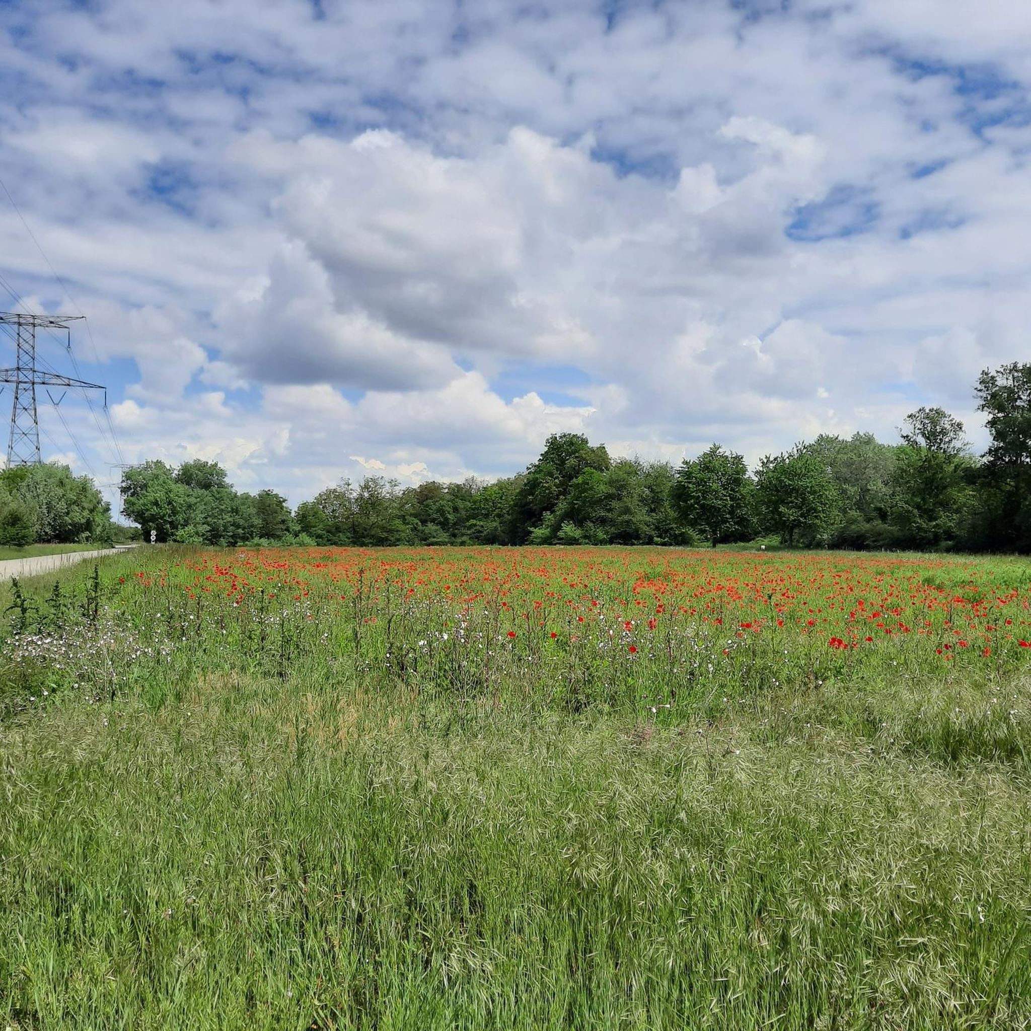
Hiking trails in Heiteren often feature views of the Rhine River and lead through open fields. You can also encounter several lakes and gravel pits, such as Hartheim Gravel Lake and Grißheim Gravel Pit Lake. Some routes also pass by historical sites like Rheintor – Museum of City History, Breisach am Rhein.
Are the hiking trails around Heiteren dog-friendly?
While specific dog-friendly designations are not always listed, the flat and open nature of many trails around Heiteren, particularly those along the Rhine and through open countryside, generally make them suitable for walks with dogs. Always ensure your dog is on a leash and respect local regulations, especially in nature reserve areas.
What is the best time of year to go hiking in Heiteren?
Given the relatively flat terrain and proximity to the Rhine, hiking around Heiteren is enjoyable throughout much of the year. Spring and autumn offer pleasant temperatures and scenic views, while summer can be good for riverside walks. Winter hiking is also possible, though conditions may vary.
Is public transport available to access hiking trailheads in Heiteren?
Information on specific public transport links directly to trailheads in Heiteren is not detailed. However, as a small municipality, local bus services might connect to nearby towns. It's advisable to check local transport schedules for connections to areas like Geiswasser or Hartheim, which are common starting points for routes.
Where can I find parking for hiking trails in Heiteren?
Many hiking routes around Heiteren start from locations like Geiswasser or Hartheim. These areas typically offer designated parking spots for visitors. For instance, routes like the Rhine River – Baggersee Hartheim loop start near Rheinradweg, Standort Hartheim Nord, where parking is usually available.
What do other hikers say about their experience in Heiteren?
The hiking routes in Heiteren are highly rated by the komoot community, with an average score of 4.4 stars from over 2,200 reviews. Hikers often praise the accessible paths, the peaceful riverside scenery, and the opportunity to explore the Rheinauen Nature Reserve. Over 11,800 hikers have used komoot to explore the varied terrain.
Are there any castles or historical sites to explore near the hiking trails?
Yes, beyond the natural landscapes, you can find historical sites and castles nearby. Notable examples include Munzingen Castle and Schloss Rimsingen. The Rheintor – Museum of City History in Breisach am Rhein is also an interesting historical landmark within reach.
Most popular attractions around Heiteren

Get inspired with the komoot mobile app


Explore more
Browse the best Hikes in other regions.
