The best walks and hikes around Hagenthal-Le-Bas
4.5
(1433)
8,597
hikers
15
hikes
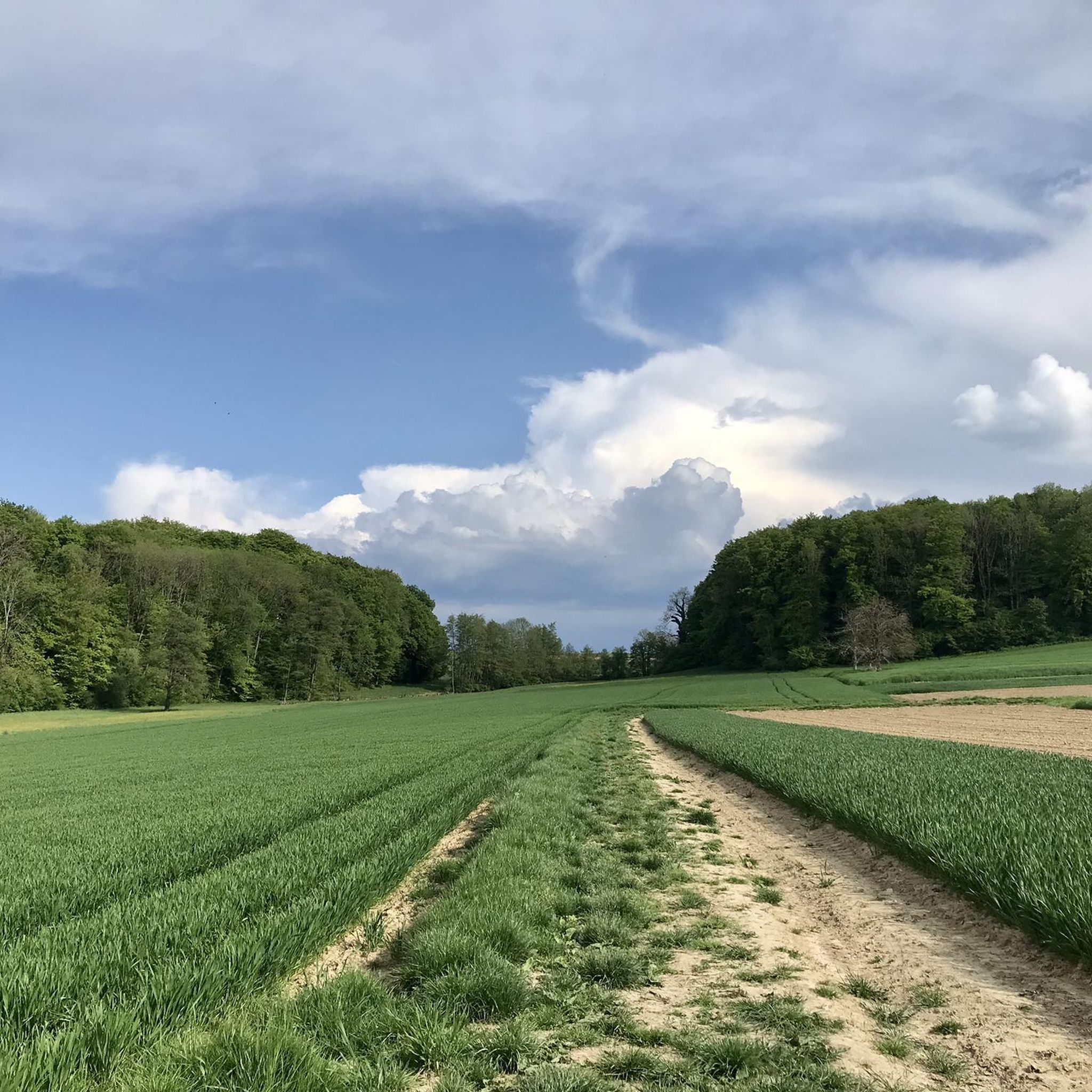
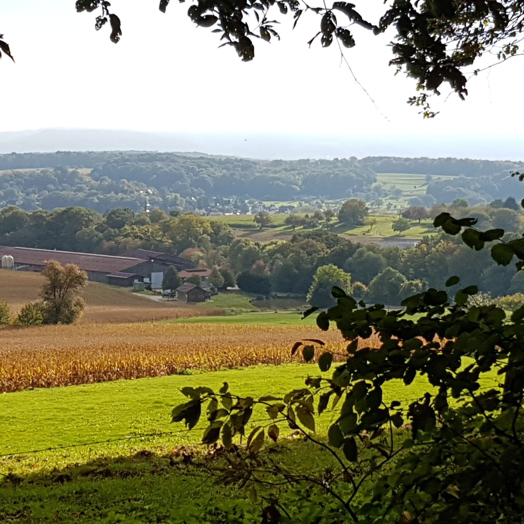
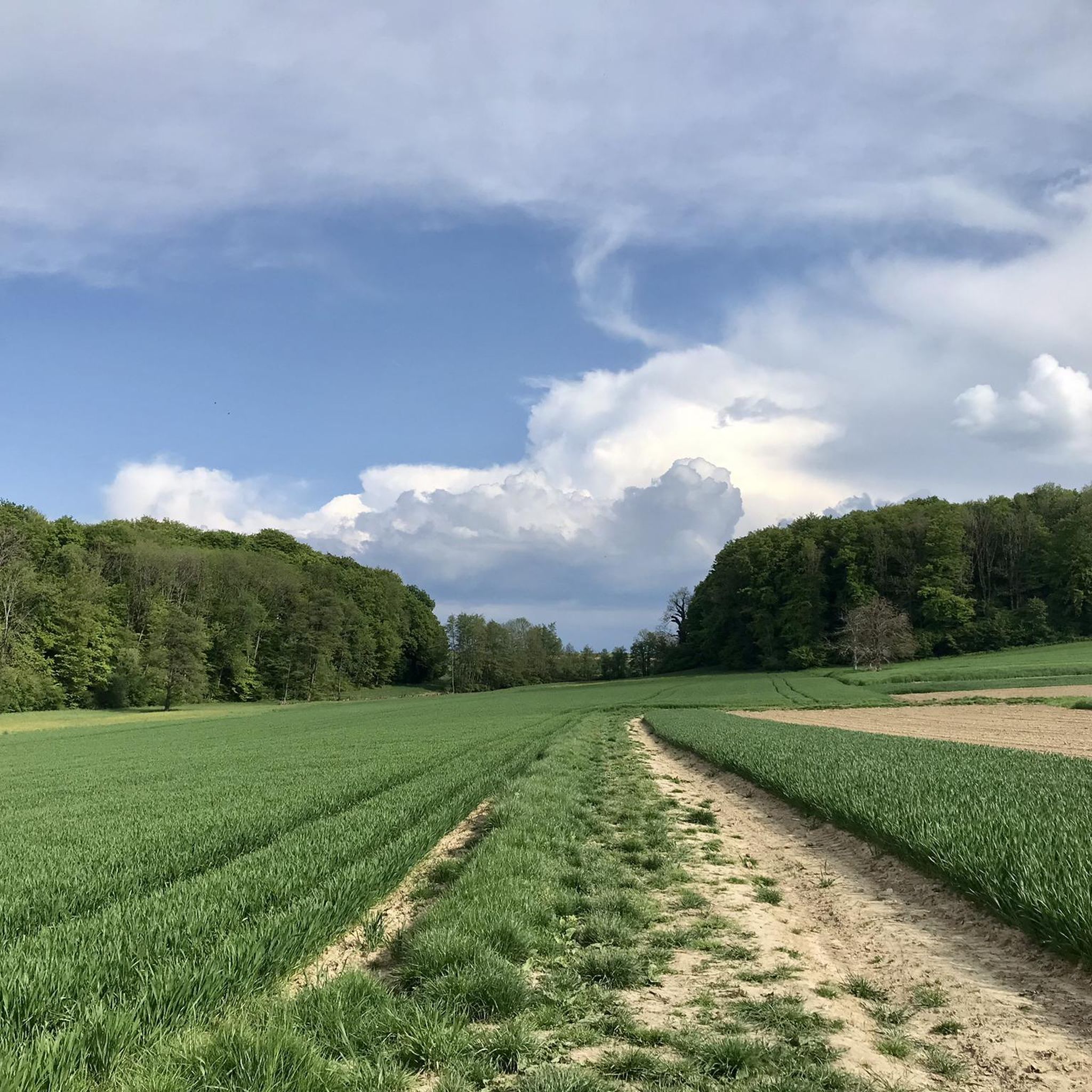
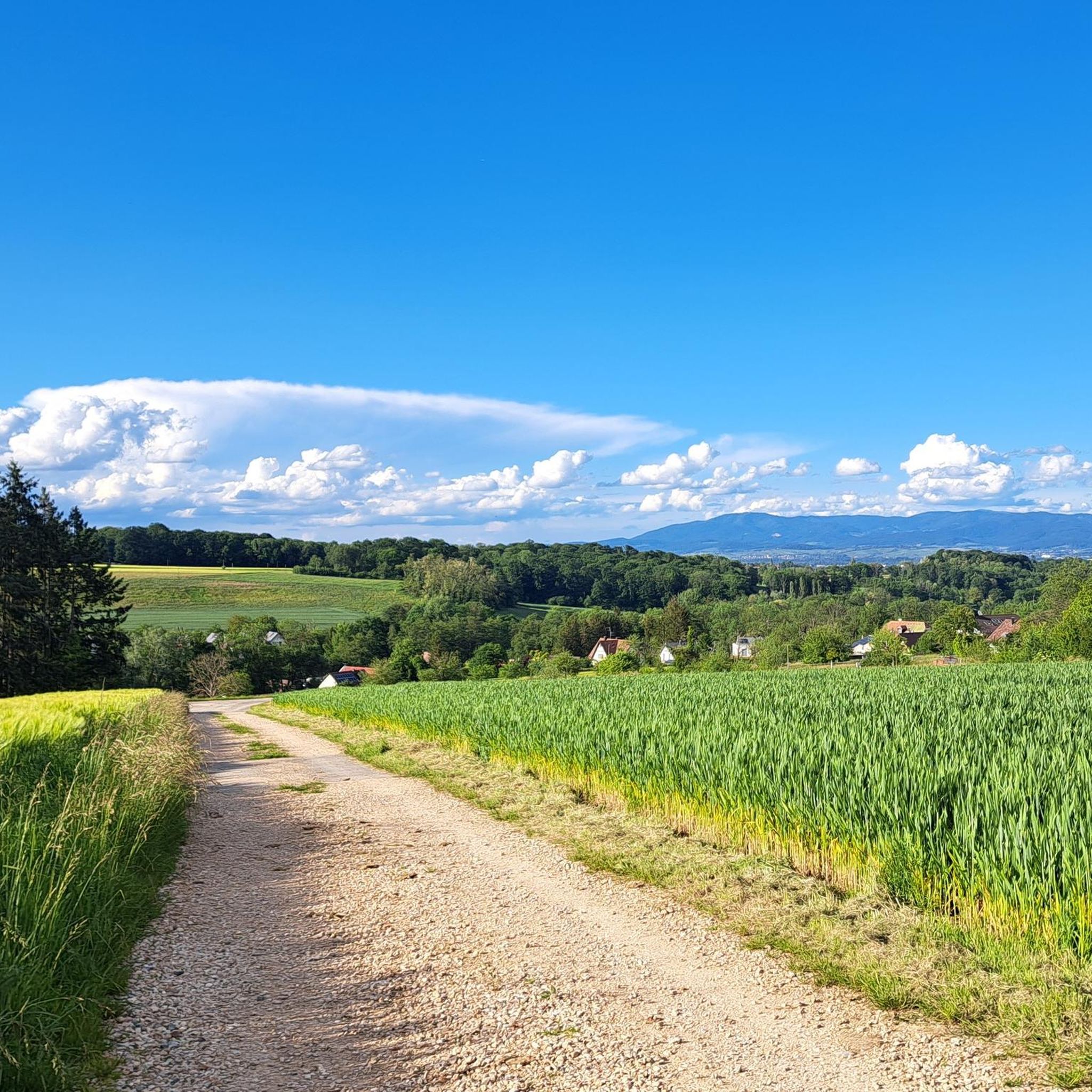
Hiking around Hagenthal-Le-Bas offers diverse landscapes within the Haut-Rhin department of Alsace, near the Swiss and German borders. The region features the gentle hills of the Sundgau, shaded forests, and riparian ecosystems shaped by the Lertzbach and Augraben streams. Hikers can explore areas ranging from 319 to 481 meters in elevation, providing varied terrain for different skill levels. The Huningue Canal and the "Alsatian Camargue" National Nature Reserve also contribute to the area's natural features.
Best hiking trails around Hagenthal-Le-Bas
- The most popular hiking route is View of Leymen – Sainte-Walburge chapel loop from Hagenthal-le-Bas, an 8.5 miles (13.7 km) trail that takes 3 hours 47 minutes to complete. This route offers scenic views and passes by the historic Chapelle Sainte-Walburge.
- Another top favourite among local hikers is Grenznahe Ruhe in Neuwiller – Auberge de Neuwiller loop from Hagenthal-le-Bas, a moderate 6.3 miles (10.1 km) path. This trail traverses the former seigneury of the Eptingen family, passing castles and a unique border area.
- Local hikers also love the Château de Hagenthal-le-Bas loop from Hagenthal-le-Bas, a 6.9 miles (11.1 km) trail leading through local castle grounds and surrounding forests, often completed in about 3 hours 5 minutes.
- Hiking around Hagenthal-Le-Bas is defined by the gentle hills of the Sundgau, shaded forests, and riparian ecosystems along streams and canals. The network offers options for both easy strolls and more challenging moderate ascents.
- The routes in Hagenthal-Le-Bas are highly rated by the komoot community with an average score of 4.6 stars from over 1,200 reviews. More than 8,400 hikers have used komoot to explore Hagenthal-Le-Bas's varied terrain.
Last updated: July 9, 2026
4.5
(2)
16
hikers
13.7km
03:47
240m
240m
Moderate hike. Good fitness required. Easily-accessible paths. Suitable for all skill levels.
5.0
(3)
15
hikers
Moderate hike. Good fitness required. Easily-accessible paths. Suitable for all skill levels.

Sign up for free
5.0
(1)
16
hikers
11.1km
03:05
200m
200m
Moderate hike. Good fitness required. Easily-accessible paths. Suitable for all skill levels.
5.0
(2)
12
hikers
6.57km
01:47
90m
90m
Easy hike. Great for any fitness level. Easily-accessible paths. Suitable for all skill levels.
4.0
(1)
5
hikers
8.47km
02:19
140m
140m
Moderate hike. Good fitness required. Easily-accessible paths. Suitable for all skill levels.
Get access to more routes and recommendations from other explorers.
Sign up for free
Already have an account?
Our route recommendations are based on thousands of hikes, rides, and runs completed by other people on komoot.
Start today with a free account
Your next adventure awaits.
Login or Signup
Tips from the Community

Yes, getting through here requires some leg power and steering skills. Depending on the past weather, the wide path can be so muddy that it's almost impassable. BUT right next to it, there's a small singletrack trail that allows for good progress.
0
0

The fantastic trail that runs along the border in Neuwiller offers a scenic ride through lush forests and open fields. As you ride the trail, you’ll find yourself among historic landmarks, ancient boundary markers, and beautiful natural features. The terrain offers a mix of smooth trails and more technical sections, making it a pleasant challenge for mountain bikers.
1
0

Small but nice trail, suitable for training your riding skills.
0
0

Hiking map in the town with a few routes and information.
0
0

Small chapel on the Way of St. James 🦪 above Leymen F, which is dedicated to Saint Walburga. The current chapel was built in 1682.
1
0

Do not walk to Schönenbuch via Rue de Hegenheim! Expressway without a pavement!
0
0

Rolls well, nice gravel route. You'll get a smile or two when you watch some of the golf artists roll by.
0
1

Really flowy in dry weather.
0
0
Frequently Asked Questions
How many hiking trails are available around Hagenthal-Le-Bas?
There are over 15 hiking routes around Hagenthal-Le-Bas, offering a variety of experiences. You'll find options ranging from easy strolls to more challenging moderate hikes, with 5 easy and 10 moderate trails to explore.
What kind of terrain can I expect on hikes in Hagenthal-Le-Bas?
The terrain around Hagenthal-Le-Bas is quite varied, featuring the gentle hills of the Sundgau, shaded forests, and riparian ecosystems along streams like the Lertzbach and Augraben. Elevations range from 319 to 481 meters, providing diverse landscapes for different skill levels.
Are there any easy, family-friendly hiking options in Hagenthal-Le-Bas?
Yes, Hagenthal-Le-Bas offers several easy trails suitable for families. An example is the Hiking loop from Hagenthal-le-Bas, which is approximately 6.6 km long and features gentle elevation changes, perfect for a relaxed outing.
Can I find circular hiking routes in the area?
Many of the trails around Hagenthal-Le-Bas are designed as circular routes, allowing you to start and end in the same location. For instance, the View of Leymen – Sainte-Walburge chapel loop from Hagenthal-le-Bas and the Château de Hagenthal-le-Bas loop from Hagenthal-le-Bas are popular circular options.
What interesting landmarks or natural features can I see while hiking?
Hikers can discover a mix of natural and historical landmarks. Along trails, you might encounter the historic Chapelle Sainte-Walburge or the Château de Hagenthal-le-Bas. Natural features include the 'Alsatian Camargue' National Nature Reserve, the Huningue Canal, and various streams. You can also explore highlights like the Dwarves' Grotto or the Augustinian Fountain.
Are there any viewpoints offering scenic vistas?
Yes, the Sundgauvian Jura region, though relatively low in altitude, provides diverse landscapes and scenic viewpoints. The View of Leymen – Sainte-Walburge chapel loop is specifically known for its scenic views. Additionally, the Mittlere Au Observatory is a notable viewpoint in the vicinity.
What do other hikers say about the trails in Hagenthal-Le-Bas?
The hiking routes in Hagenthal-Le-Bas are highly regarded by the komoot community, holding an average rating of 4.6 stars from over 1,200 reviews. Hikers often praise the well-maintained paths, the blend of forest and open landscapes, and the peaceful atmosphere of the Sundgau region.
Are there any trails that pass by historical castles?
Yes, the region has a rich history reflected in its trails. The Château de Hagenthal-le-Bas loop from Hagenthal-le-Bas directly incorporates the local castle grounds. Another route, the Grenznahe Ruhe in Neuwiller – Auberge de Neuwiller loop, traverses the former seigneury of the Eptingen family, passing by historical sites.
What is the best time of year to go hiking in Hagenthal-Le-Bas?
The varied landscapes of Hagenthal-Le-Bas make it suitable for hiking across multiple seasons. Spring and autumn offer pleasant temperatures and vibrant scenery, with blooming orchards or colorful foliage. Summer is also popular, especially for shaded forest trails. Even in winter, some trails can be enjoyed, though conditions may vary.
Are there any trails that offer a cross-border experience?
Given its proximity to the Swiss and German borders, some routes offer a unique cross-border feel. The region's history includes areas like Neuwiller forming a French 'peninsula' in Swiss territory, providing interesting geographical context for your hike. The historic 'Burgunderweg' (Way of St. James) also passes through the Sundgau, offering a connection to broader European routes.
Are dogs allowed on the hiking trails?
Generally, dogs are welcome on hiking trails in the Hagenthal-Le-Bas area. However, it's always recommended to keep your dog on a leash, especially in nature reserves or areas with livestock, and to follow local regulations regarding pet waste.
Are there any trails near water features like canals or rivers?
Yes, the area is part of the Rhine basin, with the Lertzbach and Augraben streams flowing through. The nearby Huningue Canal offers pleasant routes for walking, passing through the 'Alsatian Camargue' National Nature Reserve, known for its biodiversity along the old Rhine riverbed. The 'Petit Rhin' also provides evolving landscapes for nature observation.
Most popular routes around Hagenthal-Le-Bas
Most popular attractions around Hagenthal-Le-Bas

Get inspired with the komoot mobile app


Explore more
Browse the best Hikes in other regions.
