The best walks and hikes around Furdenheim
4.5
(786)
4,976
hikers
366
hikes
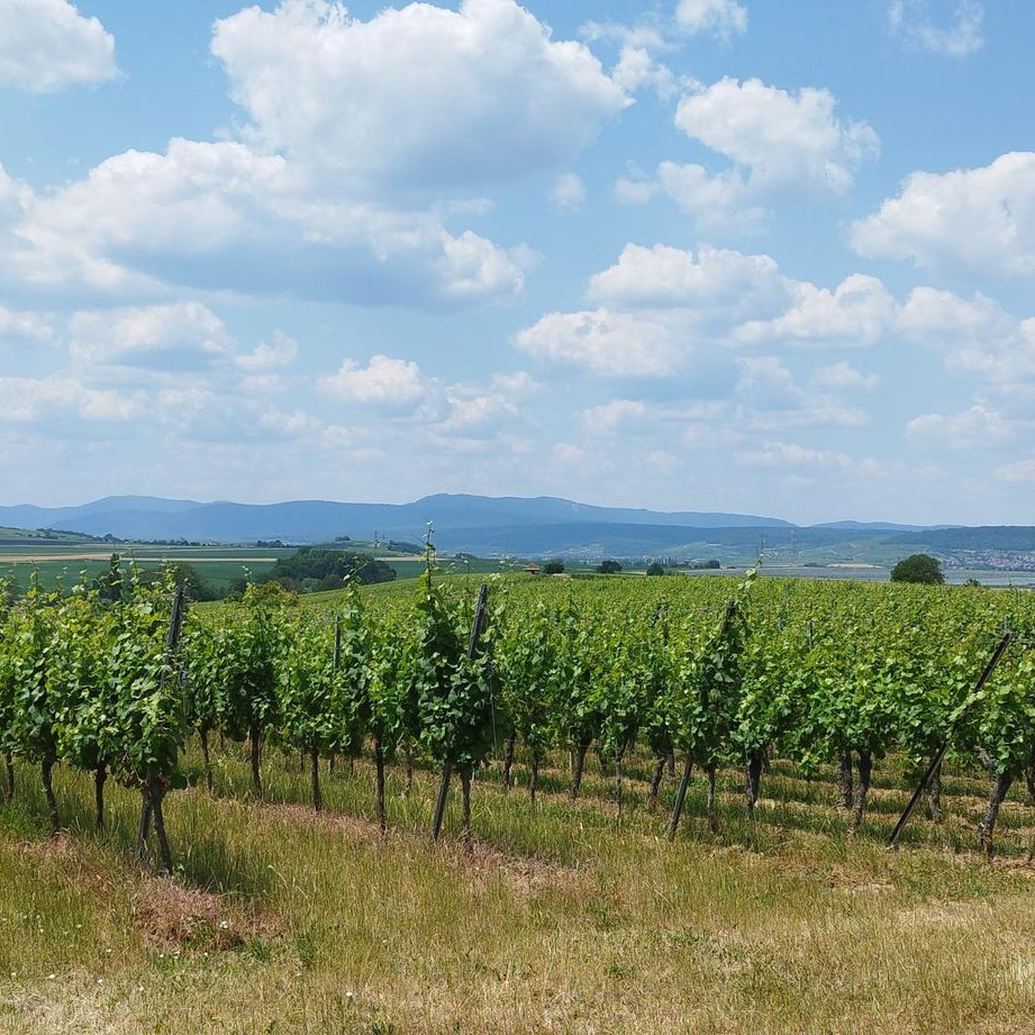
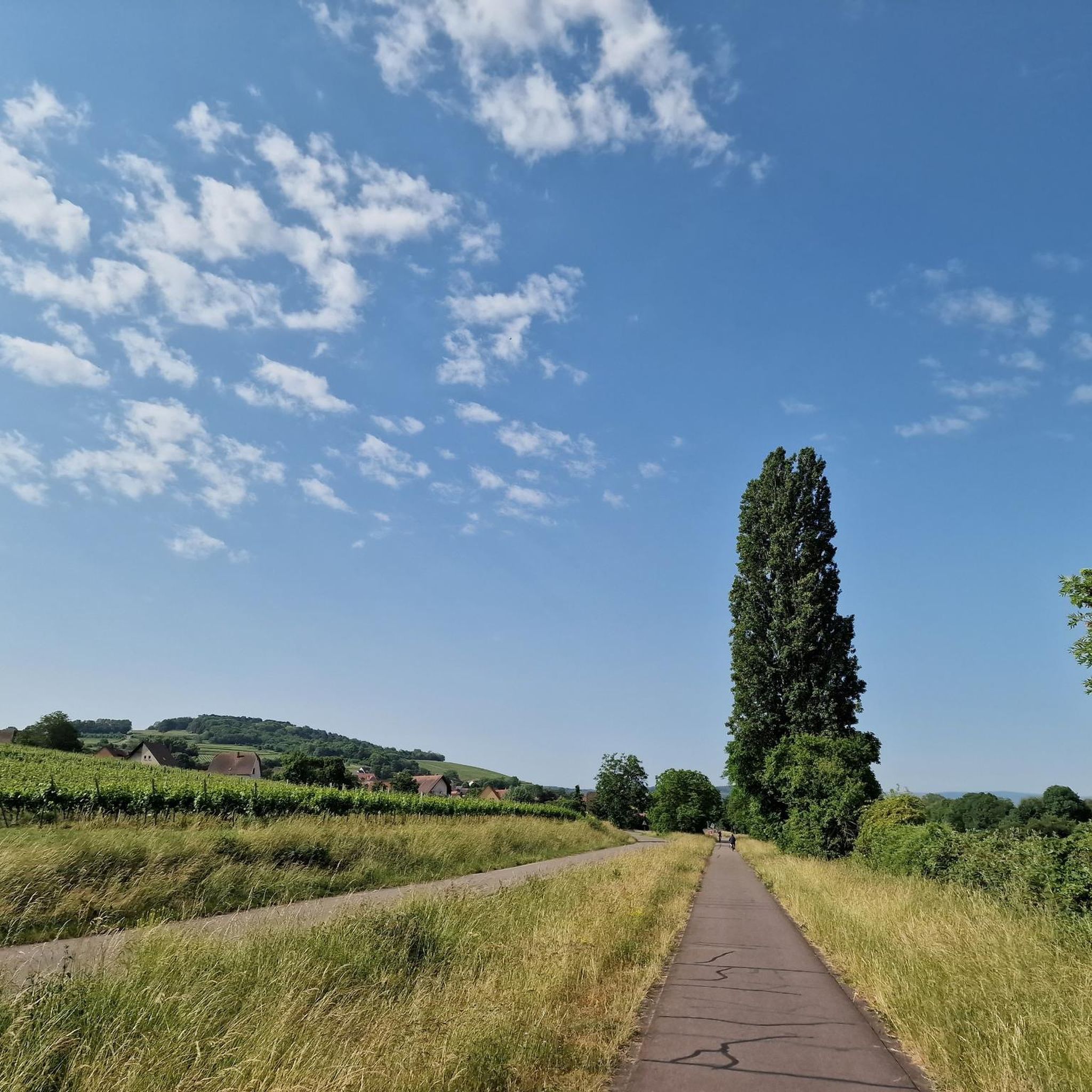
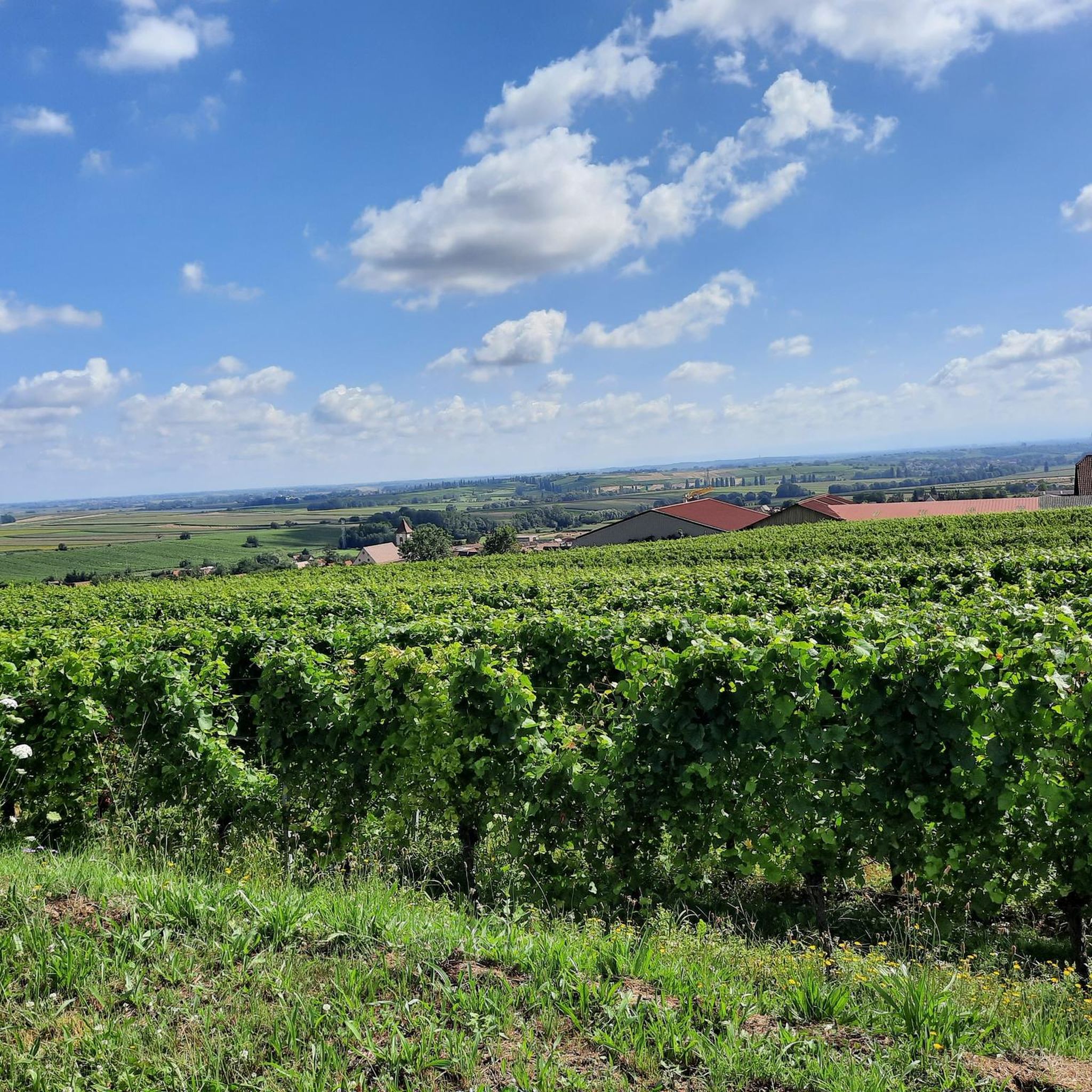
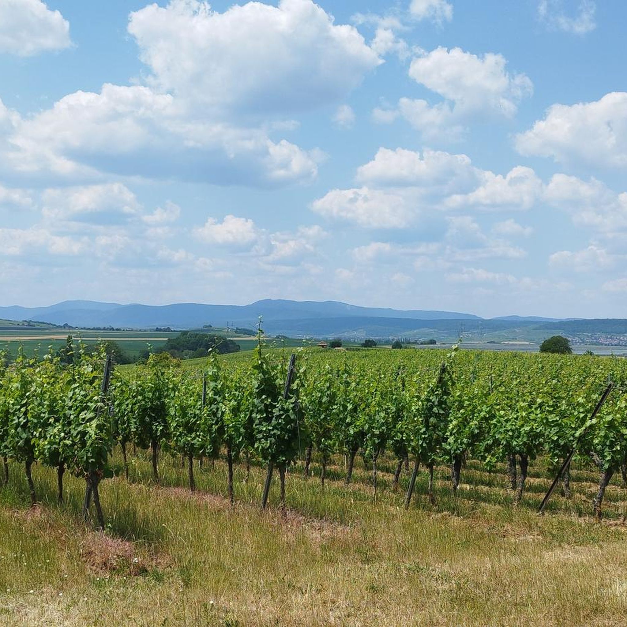
Hiking around Furdenheim offers access to diverse landscapes, including the extensive forests of the Nordvogesen Regional Nature Park and the scenic Alsatian Wine Route. The region is characterized by gentle slopes, vineyards, and the flat terrain of the Alsatian Plain, providing varied hiking environments. The picturesque Canal de la Bruche also offers pleasant routes alongside winding waterways.
Best hiking trails around Furdenheim
- The most popular hiking route is Colline Horn – Scharrachberg Hill loop from Scharrachbergheim-Irmstett, a 6.1 miles…
Last updated: October 17, 2026
4.6
(9)
40
hikers
9.94km
02:53
270m
270m
Moderate hike. Good fitness required. Easily-accessible paths. Suitable for all skill levels.
4.9
(7)
22
hikers
8.99km
02:37
240m
240m
Moderate hike. Good fitness required. Easily-accessible paths. Suitable for all skill levels.

4.3
(3)
28
hikers
18.2km
05:10
410m
400m
Hard hike. Very good fitness required. Easily-accessible paths. Suitable for all skill levels.
5.0
(1)
16
hikers
11.2km
03:05
190m
190m
Moderate hike. Good fitness required. Easily-accessible paths. Suitable for all skill levels.
4.0
(5)
35
hikers
10.00km
02:49
200m
210m
Moderate hike. Good fitness required. Easily-accessible paths. Suitable for all skill levels.
Get access to more routes and recommendations from other explorers.
Already have an account?
Our route recommendations are based on thousands of hikes, rides, and runs completed by other people on komoot.
Start today with a free account
Your next adventure awaits.
Tips from the Community

A special type of cellar security
0
0

The Sacred Heart is a statue located on the Wolxheim wine trail. At the foot of this statue is the Grand Cru Altenberg vineyard; in good weather you can also contemplate Strasbourg Cathedral, located about twenty kilometers away. This statue was erected in 1912 on the limestone cliff of the Horn. On the base are engraved Christ's words of peace at a time when only war was spoken of. It is the symbol of the peace desired by the population and is deliberately turned towards the Mutzig Fort. The statue was inaugurated on July 27, 1912. Beautiful panoramic view.
0
0

With its 316 meters high, the Scharrachberg is an emblematic promontory of the hills under the Vosges located west of Strasbourg. Both wooded and open in places, it offers beautiful views of the surroundings in a pretty wooded setting.
1
0
This hill provides a nice vantage point from which to observe the whole region at 360 degrees. You can see, among other things, Strasbourg and Mont Saint-Odile. A beautiful statue of the Sacred Heart was installed there in 1912. As war approached, the inhabitants of Wolxheim hoped to avoid battles.
1
0

magnificent view
0
0

Well-preserved chapel at the vineyard. Nice stop option on the passing hiking trail
0
0

The town hall used to be a castle 🏰
0
0
Frequently Asked Questions
How many hiking trails are available around Furdenheim?
There are over 340 hiking routes around Furdenheim, offering a wide range of options for different skill levels. This includes approximately 150 easy routes, 180 moderate routes, and a smaller selection of more challenging trails.
What makes hiking around Furdenheim unique?
Hiking around Furdenheim offers a diverse experience, blending the extensive forests of the Naturpark Nordvogesen with the picturesque vineyards of the Elsässer Weinstraße. You'll encounter gentle slopes, the flat terrain of the Alsatian Plain, and charming routes alongside the Canal de la Bruche, where you might even spot storks in summer. The region also features fortified villages, churches, and castles, adding a historical dimension to your walks.
Are there easy hiking trails suitable for beginners in Furdenheim?
Yes, Furdenheim offers around 150 easy hiking routes perfect for beginners or those seeking a relaxed walk. These trails often wind through vineyards or along the Canal de la Bruche, providing pleasant scenery without significant elevation changes. Many are well-suited for a leisurely pace.
What kind of scenic views can I expect on hikes near Furdenheim?
Hikes near Furdenheim offer varied scenic views. You can expect panoramic vistas over rolling vineyards, deep green forests of the Nordvogesen, and the expansive Alsatian Plain. Trails along the Canal de la Bruche provide tranquil waterside views, while some routes lead to elevated points offering broad perspectives of the surrounding valleys and charming Alsatian villages.
Are there any family-friendly hiking options in Furdenheim?
Many of the easier routes around Furdenheim are suitable for families. The trails along the Canal de la Bruche are particularly pleasant for families, offering flat paths and opportunities for wildlife spotting. Look for routes marked as 'easy' for the most family-friendly experiences.
Can I find circular hiking routes around Furdenheim?
Yes, many of the hiking trails around Furdenheim are designed as circular routes, allowing you to start and end at the same point. Examples include the Colline Horn – Scharrachberg Hill loop from Scharrachbergheim-Irmstett or the Chapelle de Hohenhoeft – Way of the Cross Marlenheim loop from Nordheim, which guide you through diverse landscapes and past historical sites.
What do other hikers say about the trails in Furdenheim?
The hiking routes in Furdenheim are highly regarded by the komoot community, with an average rating of 4.5 out of 5 stars from over 500 reviews. Hikers frequently praise the diverse landscapes, well-maintained paths, and the charming blend of vineyards, forests, and historical elements found along the trails.
Are there any interesting landmarks or attractions along the hiking trails?
Yes, several trails pass by notable landmarks. You can explore the picturesque Canal de la Bruche, which offers pleasant walks and cycling paths. Some routes also lead past historical sites like the Chapelle de Hohenhoeft or the Osthoffen Castle, allowing you to combine nature with cultural discoveries.
What is the best time of year to go hiking in Furdenheim?
The best time for hiking in Furdenheim is generally from spring to autumn. During these seasons, the weather is mild, and the landscapes are vibrant, with blooming vineyards in spring and colorful foliage in autumn. Summer offers pleasant conditions for walks along the Canal de la Bruche, though some vineyard trails can be exposed to the sun.
Are there options for winter hiking around Furdenheim?
While the region is primarily known for spring to autumn hiking, some of the flatter and well-maintained paths, especially those along the Canal de la Bruche or through less elevated forests, can be suitable for winter walks, provided there isn't heavy snow or ice. Always check local conditions before heading out.
Are there any trails that offer opportunities for refreshments or cafes nearby?
Yes, some routes, particularly those passing through or near villages along the Alsatian Wine Route, offer opportunities to stop at local cafes or wineries. For example, the The vines – Gourmet walk loop from Nordheim is designed to highlight the region's culinary offerings. Additionally, the Lock House No. 3 – Cyclists' Refreshment Stop is a specific highlight along the Canal de la Bruche where you can find refreshments.
Where can I find parking for hiking trails in Furdenheim?
Parking is generally available in or near the starting points of many trails, especially in the villages surrounding Furdenheim. It's advisable to check the specific route details on komoot for information on designated parking areas or village car parks close to the trailhead.
Most popular routes around Furdenheim
Most popular attractions around Furdenheim

Get inspired with the komoot mobile app


Explore more
Browse the best Hikes in other regions.
