The best walks and hikes around Tagolsheim
4.6
(452)
2,661
hikers
383
hikes
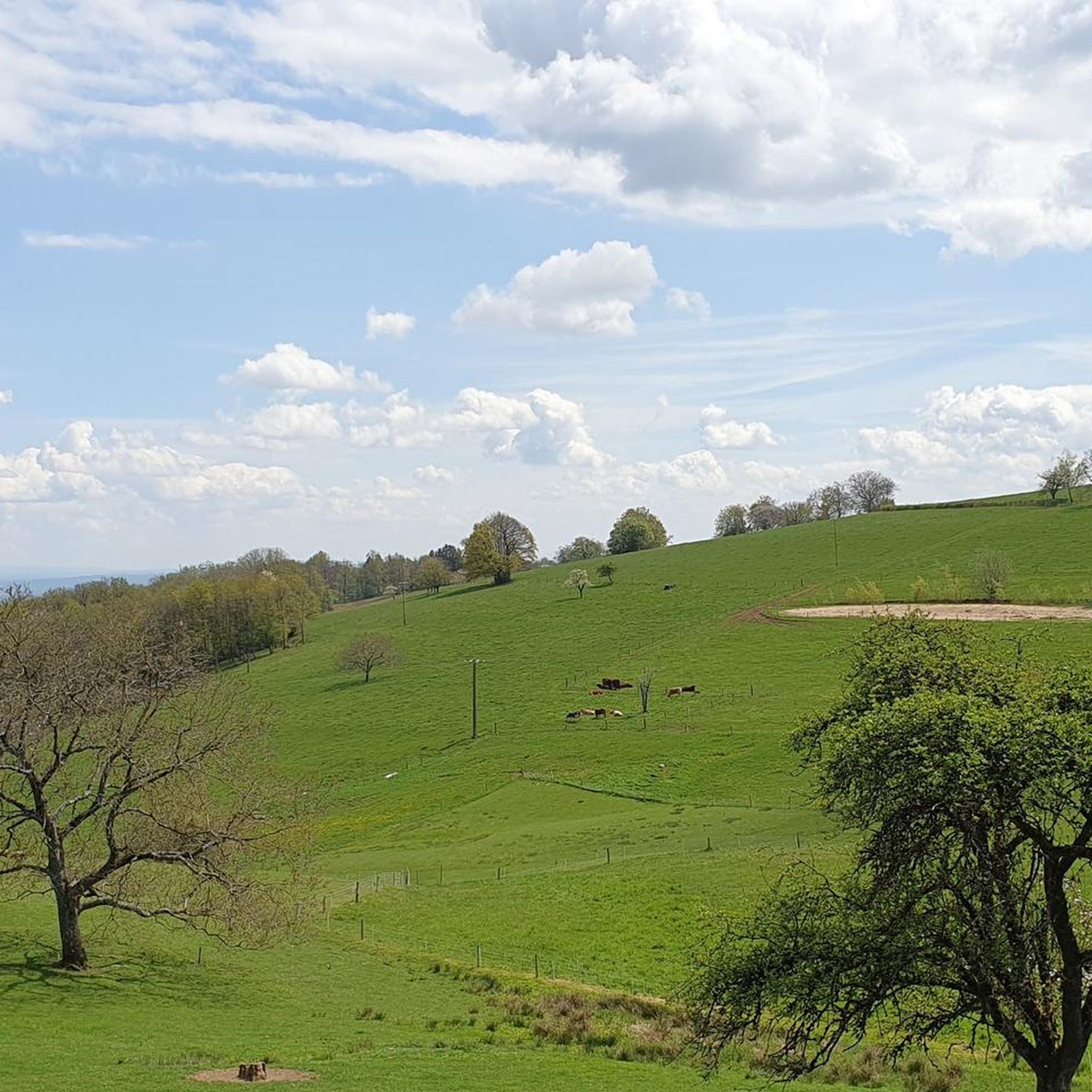
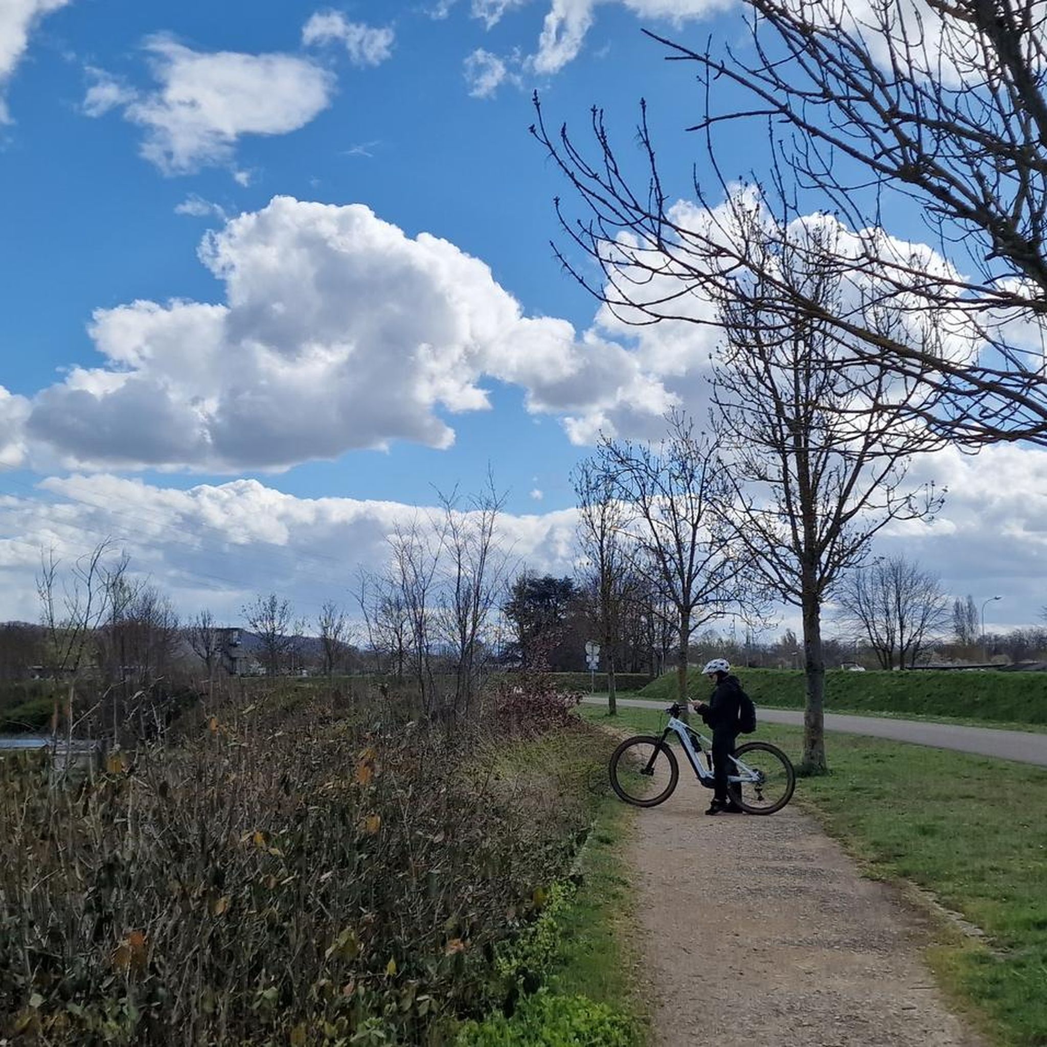
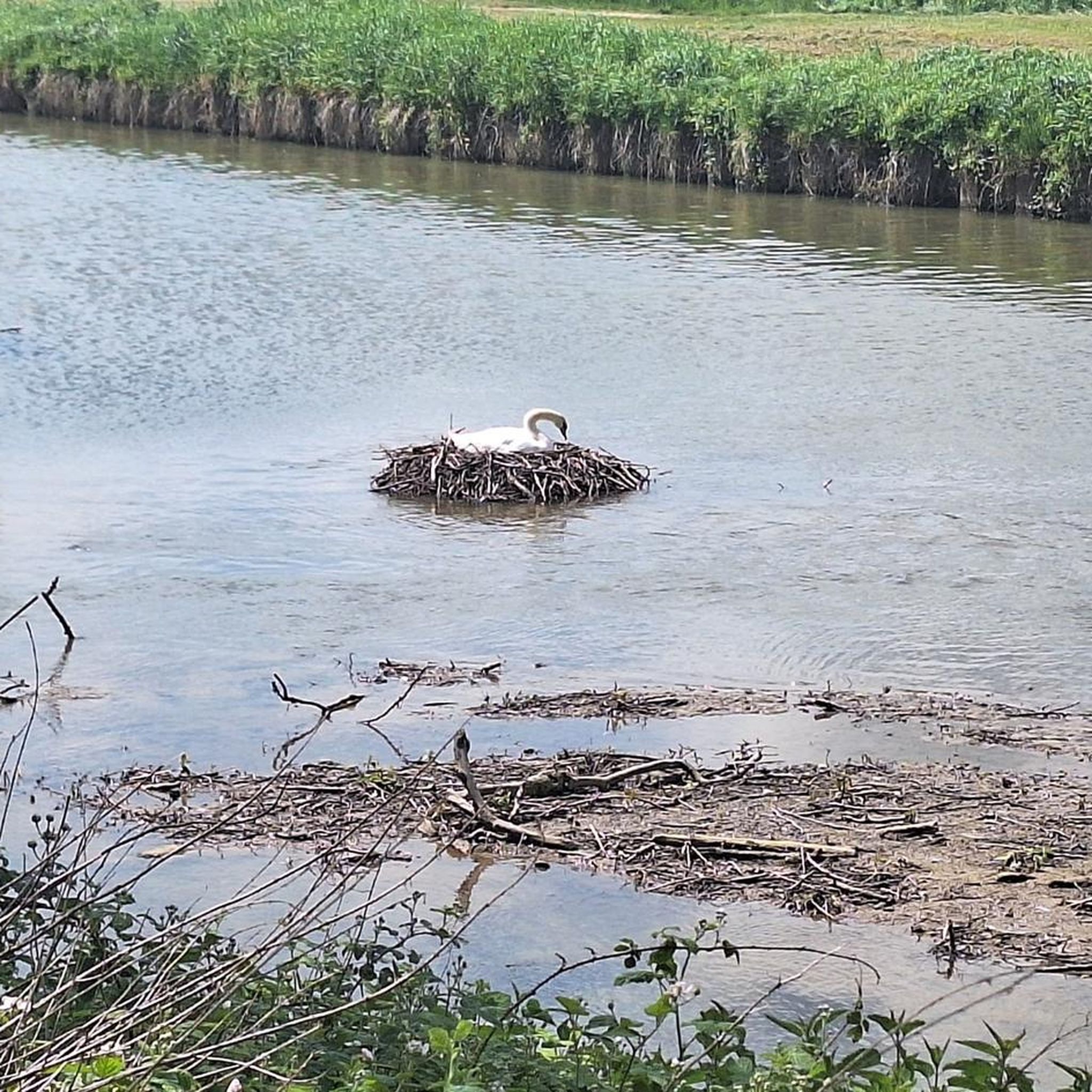
Hiking around Tagolsheim offers a landscape characterized by rolling hills, extensive forests, and agricultural plains. The region features varied terrain, including gentle ascents and descents, making it suitable for different hiking preferences. Numerous streams and small rivers traverse the area, contributing to its natural appeal. The trails often lead through woodlands and open countryside, providing a mix of shaded and exposed sections.
Best hiking trails around Tagolsheim
- The most popular hiking route is Illfurth and the Britzgyberg, a 7.4…
Last updated: October 8, 2026
4.4
(5)
28
hikers
11.9km
03:22
250m
250m
Moderate hike. Good fitness required. Easily-accessible paths. Suitable for all skill levels.
4.9
(8)
46
hikers
8.27km
02:19
160m
160m
Moderate hike. Good fitness required. Easily-accessible paths. Suitable for all skill levels.

4.7
(9)
37
hikers
9.56km
02:41
180m
180m
Moderate hike. Good fitness required. Easily-accessible paths. Suitable for all skill levels.
4.8
(6)
22
hikers
9.99km
02:50
230m
230m
Moderate hike. Good fitness required. Easily-accessible paths. Suitable for all skill levels.
4.4
(7)
19
hikers
6.25km
01:47
140m
140m
Easy hike. Great for any fitness level. Easily-accessible paths. Suitable for all skill levels.
Get access to more routes and recommendations from other explorers.
Already have an account?
Our route recommendations are based on thousands of hikes, rides, and runs completed by other people on komoot.
Start today with a free account
Your next adventure awaits.
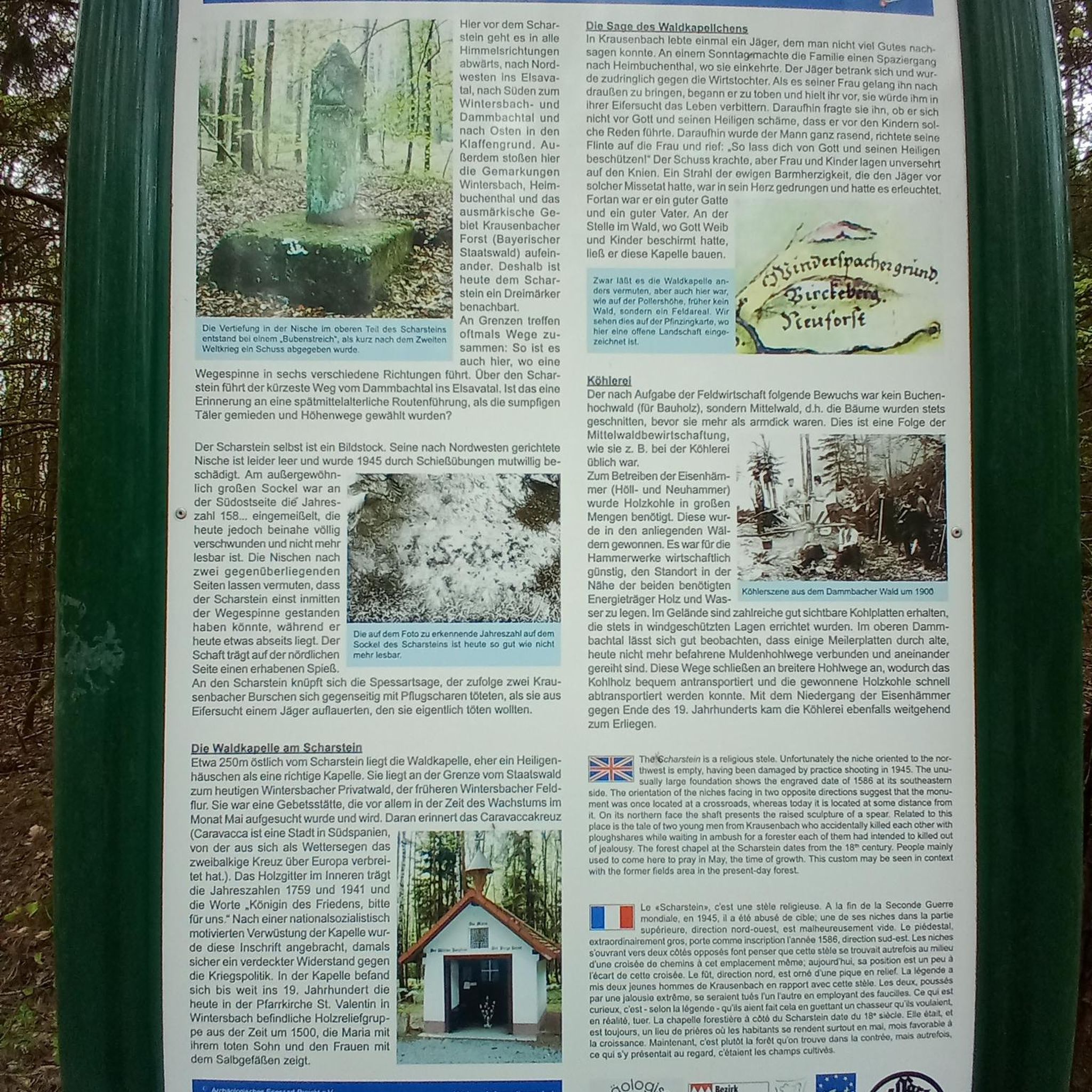

Tips from the Community

A 360° view of all the surrounding massifs. A viewpoint renowned, as evidenced by the sign referring to Frédéric Guillaume de Hohenzollern.
0
0

The cannon must have been huge. It had a range of up to 40 km. It terrorized the inhabitants of Belfort. This was the response to the bombing of Freiburg, among other places. It was then used as a feint to distract from the attack on Verdun.
0
0
The German soldiers who died in the Battle of Mühlhausen in August 1914 are buried there, including the first casualty of World War I. It's a bit off the beaten track and very well maintained.
0
0

Beneath the forest canopy, you can discover numerous traces of bygone times, still visible or legible; only the "barracks" have disappeared. During a guided tour with one of the site's enthusiastic volunteers, you can explore the underground tunnels and discover the organization of this impressive military infrastructure. Of course, you can also visit the surface infrastructure yourself, following the marked route, where the panels provide detailed explanations. An application, "Site du Grand Canon de Zillisheim," is also available for download.
5
0
In 1720, the religious building was recorded as a ruin. Reconstruction work began in 1765. The chapel was destroyed during the Revolution and rebuilt in 1870, expanded in 1925, and the last restoration was carried out in 1998.
5
0
The Illfurth German War Cemetery was established by the French military authorities in April 1920. As a collective cemetery, it housed some of the fallen soldiers from the battles of August 7 and 17, 1914. The transfer of war dead to Illfurth, who had been provisionally buried in 64 municipalities and districts during the war or who had died in French captivity, ended in 1924. Among those reburied was the first German casualty of the 1914-1918 War on the Western Front, Lieutenant Albert Mayer, who fell on August 2, 1914, while on patrol. The first French soldier also lost his life in this battle. Several memorials erected in field cemeteries during the war were also relocated to Illfurth.
8
0

The 38 cm Schnellladekanone L/45 (38 cm S.K. L/45) was a gun used by the Imperial Navy and the German Army during World War I. Originally designed as a naval gun, it was also used on land under the designation 38 cm Geschütz Max or Langer Max. The "38 cm SK L/45" had a barrel with an inner diameter of 38 cm, making it one of the largest calibers used at the time. Its range was up to 48 km. Between 1915 and 1916, the German army installed a naval gun called the "Langer Max" in the Zillisheim Forest. This gun, designed to fire long bursts at Belfort and the Saint Amarin Valley, was actually a diversionary plan....
1
0
Frequently Asked Questions
How many hiking trails are available around Tagolsheim?
There are over 350 hiking routes around Tagolsheim, offering a wide variety of options. These include 147 easy trails, 189 moderate routes, and 17 more challenging hikes, ensuring there's something for every skill level.
What do other hikers enjoy most about hiking in Tagolsheim?
The komoot community highly rates the hiking experience in Tagolsheim, with an average score of 4.6 stars from over 350 reviews. Hikers often praise the region's varied terrain, which includes rolling hills, extensive forests, and agricultural plains, providing a mix of shaded and open sections. The presence of numerous streams and small rivers also adds to the natural appeal.
Are there easy hiking trails suitable for beginners or families in Tagolsheim?
Yes, Tagolsheim offers 147 easy hiking trails, many of which are suitable for beginners and families. These routes typically feature gentle ascents and descents through woodlands and open countryside. A good example is the Luemschwiller – Our Lady of the Snows Chapel loop from Luemschwiller, which is rated as easy.
Are there circular hiking routes around Tagolsheim?
Yes, many of the trails around Tagolsheim are circular, allowing you to start and end at the same point. Popular circular options include the Sentier 14/18 loop from Heidwiller and the Saint-Brice Chapel – Grand Cannon of Zillisheim loop from Illfurth, both offering diverse scenery and points of interest.
What kind of scenery can I expect on hikes near Tagolsheim?
Hikes near Tagolsheim traverse a landscape of rolling hills, dense woodlands, and agricultural plains. You'll encounter numerous streams and small rivers, with trails often leading through a mix of shaded forest paths and open countryside. The region's natural beauty is complemented by historical landmarks scattered throughout.
Are there any historical sites or landmarks to see on the trails?
Yes, the Tagolsheim area is rich in history. You can explore sites like the Grand Cannon of Zillisheim, which is featured on the Saint-Brice Chapel – Grand Cannon of Zillisheim loop from Illfurth. Other notable attractions include the Zillisheim Drawbridge and Lock No. 35, and the Chapelle Saint-Martin.
How long do hikes around Tagolsheim typically take?
Hike durations vary significantly depending on the route and your pace. For example, the moderate Illfurth and the Britzgyberg trail typically takes around 3 hours 22 minutes to complete, while the Sentier 14/18 loop from Heidwiller is usually finished in about 2 hours 19 minutes. Shorter, easy trails can be completed in under 2 hours.
Is Tagolsheim accessible by public transport for hikers?
While Tagolsheim itself is a smaller commune, the broader region of Alsace has a public transport network. For specific trailheads, it's advisable to check local bus schedules or regional train connections to nearby towns like Illfurth or Heidwiller, which are common starting points for many routes.
Where can I find parking for hiking trails in Tagolsheim?
Many hiking trails around Tagolsheim start from villages or designated parking areas. For routes beginning in towns like Illfurth or Heidwiller, you can often find public parking near the town center or specific trailheads. It's recommended to check the komoot tour details for specific parking information related to your chosen route.
Can I hike with my dog on trails near Tagolsheim?
Generally, dogs are welcome on most hiking trails in the Tagolsheim region, provided they are kept on a leash, especially in agricultural areas, near livestock, or in nature reserves. Always ensure your dog is well-behaved and that you clean up after them to maintain the natural environment for everyone.
What is the best time of year to go hiking in Tagolsheim?
The best time for hiking in Tagolsheim is typically from spring to autumn (April to October). During these months, the weather is generally mild and pleasant, with lush greenery in spring and vibrant colors in autumn. Summer offers warmer temperatures, ideal for longer days on the trails, though some sections may be exposed to the sun.
Are there any cafes or places to eat along the hiking routes?
While many trails lead through natural landscapes, some routes pass through or near villages where you can find local cafes, bakeries, or restaurants. For example, routes starting or ending in larger villages like Illfurth or Heidwiller will offer more options for refreshments. It's always a good idea to pack snacks and water, especially for longer hikes.
What should I pack for a hike in Tagolsheim?
For hiking in Tagolsheim, essential items include comfortable hiking shoes, appropriate clothing layers for varying weather, a map or GPS device (like komoot), water, and snacks. Depending on the season, consider sun protection (hat, sunscreen) or rain gear. For longer routes, a first-aid kit and a fully charged phone are also recommended.
Most popular routes around Tagolsheim
Most popular attractions around Tagolsheim

Get inspired with the komoot mobile app


Explore more
Browse the best Hikes in other regions.
