The best running trails around Diedolshausen
4.2
(48)
2,185
runners
19
runs
Jogging around Diedolshausen offers diverse terrain for runners. The region features routes that traverse mountainous landscapes, including areas around Lac Blanc and Le Bonhomme, characterized by forests and lakes. Elevation changes are common, with trails ranging from moderate to difficult. The natural environment provides varied surfaces suitable for different running preferences.
Best jogging routes around Diedolshausen
- The most popular jogging route is Black Lake – Lake Forlet loop from Lac Blanc, an 11.2 miles (18.1 km) trail that takes…
Last updated: June 28, 2026
4.3
(3)
634
runners
18.1km
02:35
630m
630m
Hard run. Very good fitness required. Sure-footedness, sturdy shoes and alpine experience required.
47
runners
17.5km
02:54
850m
850m
Hard run. Very good fitness required. Sure-footedness, sturdy shoes and alpine experience required.

Sign up for free
43
runners
12.2km
01:55
540m
550m
Hard run. Very good fitness required. Sure-footedness, sturdy shoes and alpine experience required.
4.0
(1)
35
runners
13.5km
01:36
200m
200m
Moderate run. Good fitness required. Mostly paved surfaces. Suitable for all skill levels.
4.0
(2)
27
runners
9.87km
01:03
140m
130m
Moderate run. Good fitness required. Mostly paved surfaces. Suitable for all skill levels.
Get access to more routes and recommendations from other explorers.
Sign up for free
Already have an account?
Our route recommendations are based on thousands of hikes, rides, and runs completed by other people on komoot.
Start today with a free account
Your next adventure awaits.
Login or Signup
Popular around Diedolshausen

Sentier de l'Europe (GR 5) – Montbéliard to Abreschviller
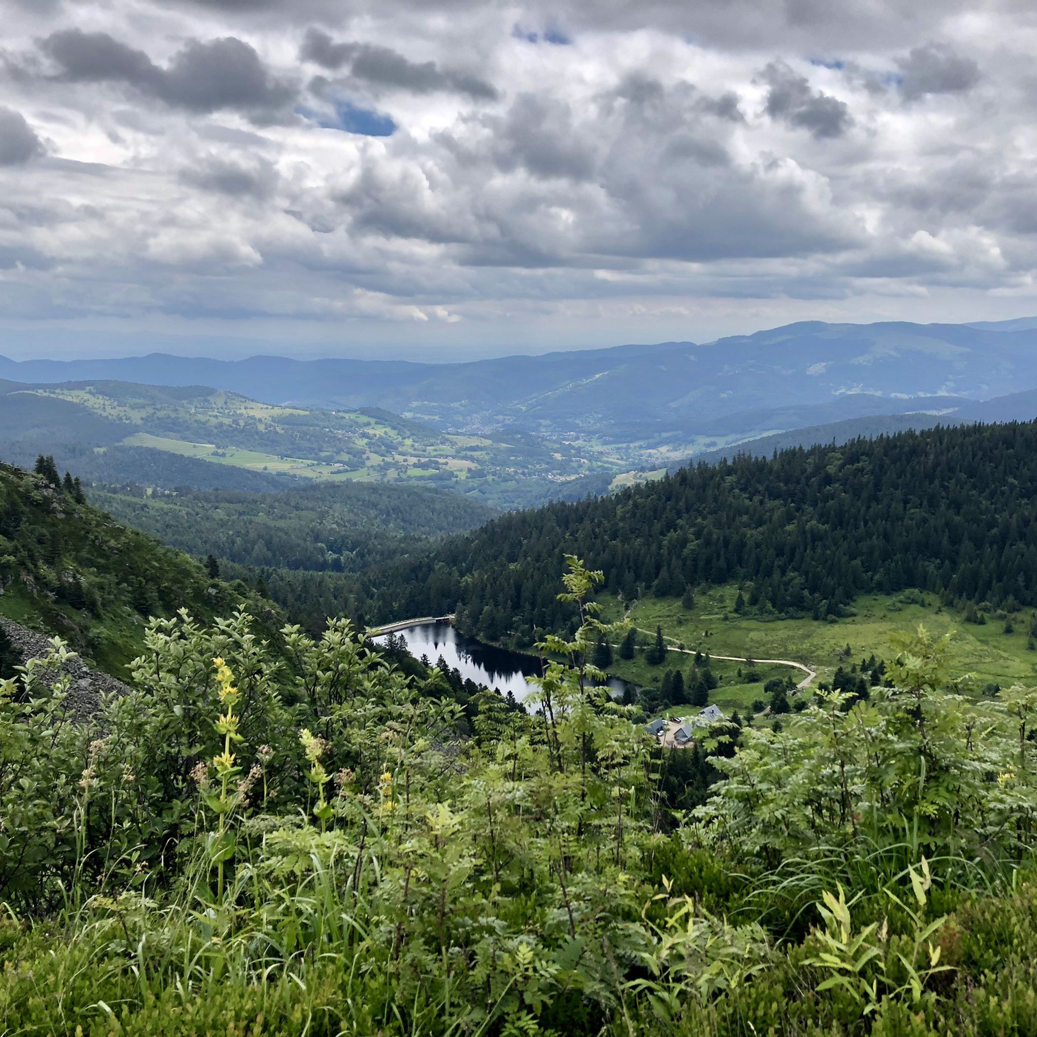
Hiking and relaxation – wellbeing on the Traversée des Vosges
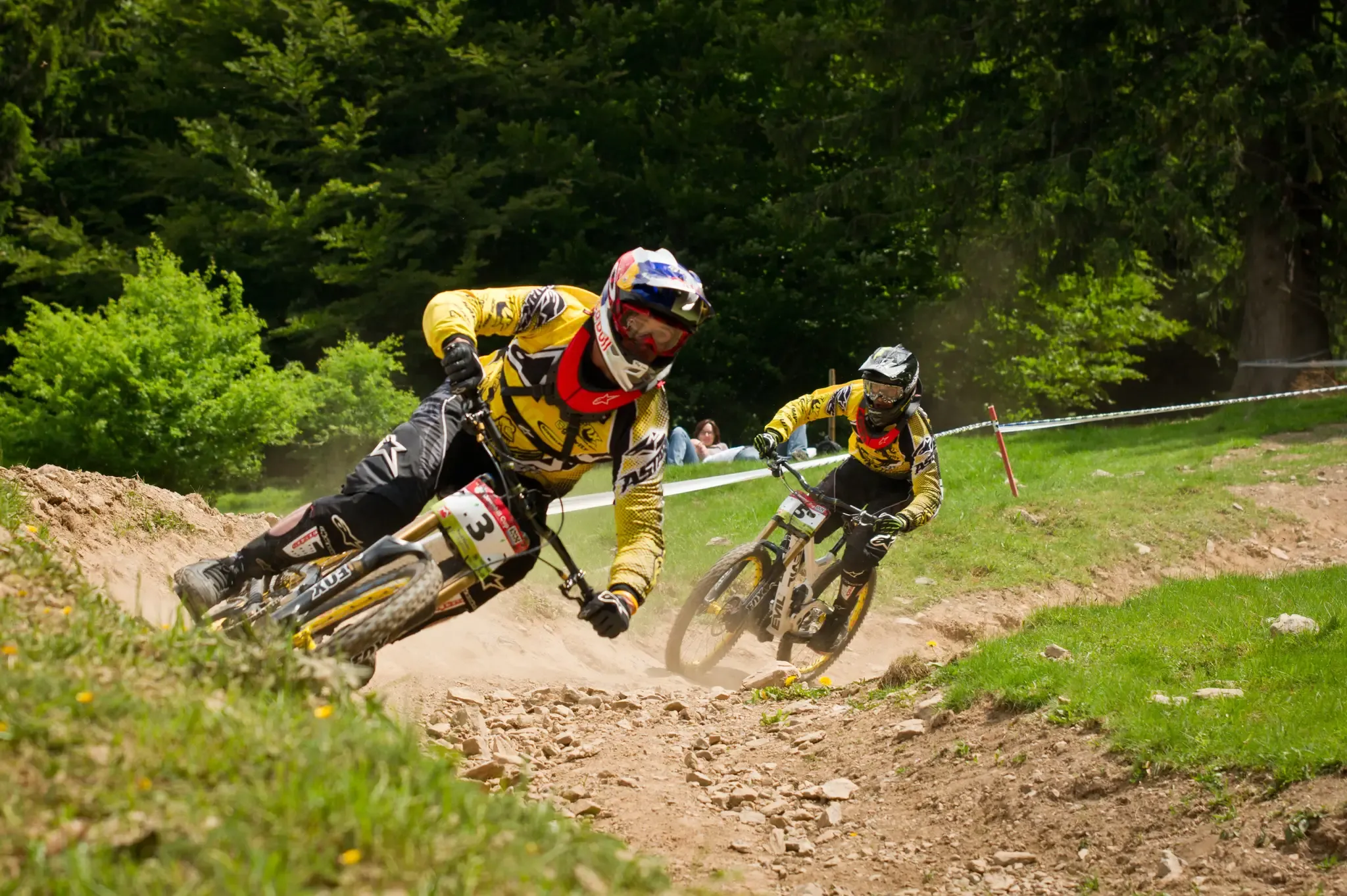
Bike parks around Baden-Württemberg
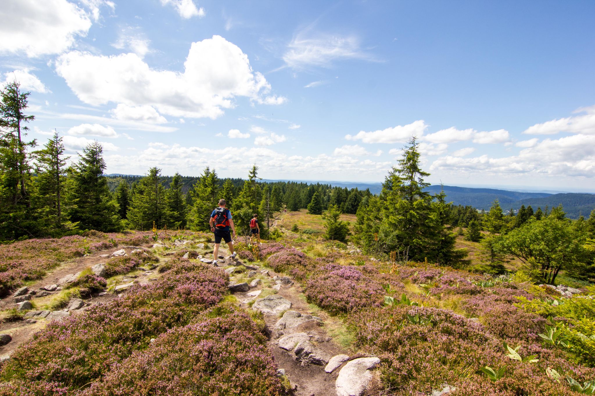
Hiking around Diedolshausen
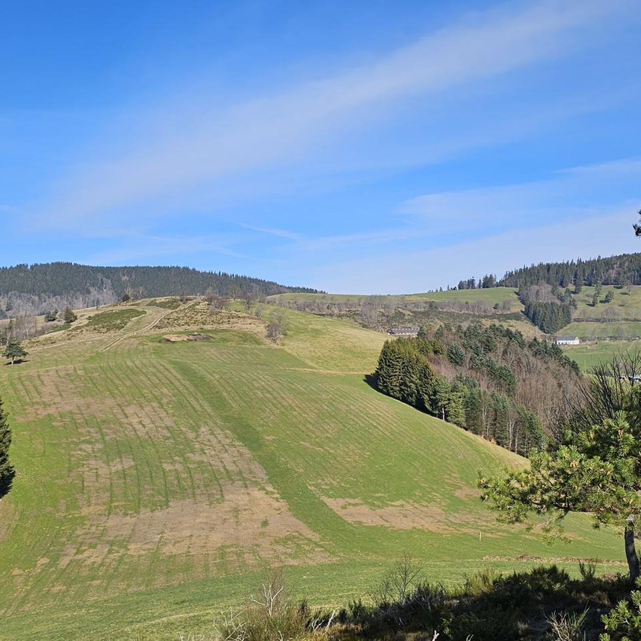
MTB Trails around Diedolshausen
Cycling around Diedolshausen
Road Cycling Routes around Diedolshausen

Mountain Hikes around Diedolshausen

Gravel biking around Diedolshausen
Other adventures around Diedolshausen


Tips from the Community

We took a break here and enjoyed fresh Münsterland cheese and a fresh baguette. It was delicious. Highly recommended! 🧀🥖😋 #Break #Cheese #Baguette #Enjoyment #Münsterland
0
0

The Col du Calvaire (1144 m) is a mountain pass in the Vosges that connects Le Valtin to Orbey in Alsace. Situated on the Route des Crêtes, between the Col du Bonhomme and the Col de la Schlucht, this pass offers magnificent views of Lac Blanc and the surrounding peaks. The name refers to an old Calvary that once stood above the lake. During the First World War, the German front line ran along this pass, which also gives the place a historical charge. In winter, the pass is part of the Lac Blanc ski area and is partly closed to traffic.
7
0


Beautifully situated mountain lake in the middle of the forest
3
0

Delicious Siaßhaas, when the farm is open.
0
2

To do, the landscapes are magnificent, the road is good. Nevertheless prefer the off-season, the road is very busy in summer.
0
0
Frequently Asked Questions
What kind of terrain can I expect on running trails around Diedolshausen?
The running trails in this area, particularly around Lac Blanc and Le Bonhomme, are characterized by mountainous landscapes, forests, and scenic lake views. You'll encounter varied surfaces, including mountain trails and forest paths, with common elevation changes.
Are there running routes suitable for beginners or those looking for an easier run?
While many routes in the region are rated moderate to difficult due to elevation changes, there are options that are less demanding. For example, the Petite Tête des Immerlins – Chemin des Immerlins loop from Lac Blanc is a moderate 8.5-mile (13.7 km) trail with less significant elevation gain compared to other routes, making it a good choice for those seeking a less strenuous experience.
How many running routes are available in the Diedolshausen area?
There are 19 running routes available in the Diedolshausen area, with 7 rated as moderate and 12 as difficult. This offers a wide range of options for different fitness levels and preferences.
Are there any circular running routes in the region?
Yes, many of the popular running routes are circular. Examples include the challenging Black Lake – Lake Forlet loop from Lac Blanc and the moderate Petite Tête des Immerlins – Chemin des Immerlins loop from Lac Blanc, both offering a complete loop back to your starting point.
What are some scenic viewpoints or attractions I can see while jogging?
The region offers stunning natural beauty. You can enjoy views of Lac Blanc on routes like the View of Lac Blanc – Black Lake loop from Le Bonhomme. Additionally, you might encounter mountain peaks such as Gazon du Faing or Le Tanet Summit, which offer panoramic vistas.
What do other runners say about the trails in this area?
The running routes in the Diedolshausen area are highly rated by the komoot community, with an average score of 4.2 stars from over 45 reviews. Runners often praise the varied terrain, scenic beauty, and the challenge offered by the mountain trails.
Are there any longer, more challenging running routes for experienced runners?
Absolutely. For experienced runners, routes like the Black Lake – Lake Forlet loop from Lac Blanc, spanning 11.2 miles (18.1 km) with significant elevation gain, provide a demanding and rewarding experience. Another difficult option is the Tête des Faux loop from Le Bonhomme, which is 10.4 miles (10.4 km) long.
Is the area suitable for running with dogs?
While specific dog-friendly regulations can vary, the natural, forested, and mountainous trails around Lac Blanc and Le Bonhomme are generally welcoming for dogs, provided they are kept under control. Always check local signage for any specific restrictions in certain areas or nature reserves.
What is the best time of year to go running in Diedolshausen?
The best time for running generally depends on your preference. Spring and autumn offer pleasant temperatures and beautiful scenery. Summer is also popular, but be prepared for potentially warmer weather and more visitors. Winter running is possible, but some trails might be challenging due to snow and ice, requiring appropriate gear and caution.
Are there any running routes that offer views of lakes?
Yes, several routes provide stunning lake views. The View of Lac Blanc – Black Lake loop from Le Bonhomme is specifically known for its vistas of Lac Blanc. The Black Lake – Lake Forlet loop from Lac Blanc also features beautiful lake scenery.
What are the typical distances and durations for running routes in this region?
Running routes in the Diedolshausen area vary significantly. You can find routes ranging from approximately 7.5 miles (12 km) to over 11 miles (18 km). Durations typically range from 1 hour 37 minutes for shorter, moderate routes to over 2 hours 30 minutes for longer, more challenging trails, depending on your pace and the elevation.
Most popular routes around Diedolshausen
Most popular attractions around Diedolshausen

Get inspired with the komoot mobile app


Explore more
Browse the best Running Trails & Routes in other regions.
