The best road cycling routes around Witternheim
4.4
(163)
3,409
riders
160
rides
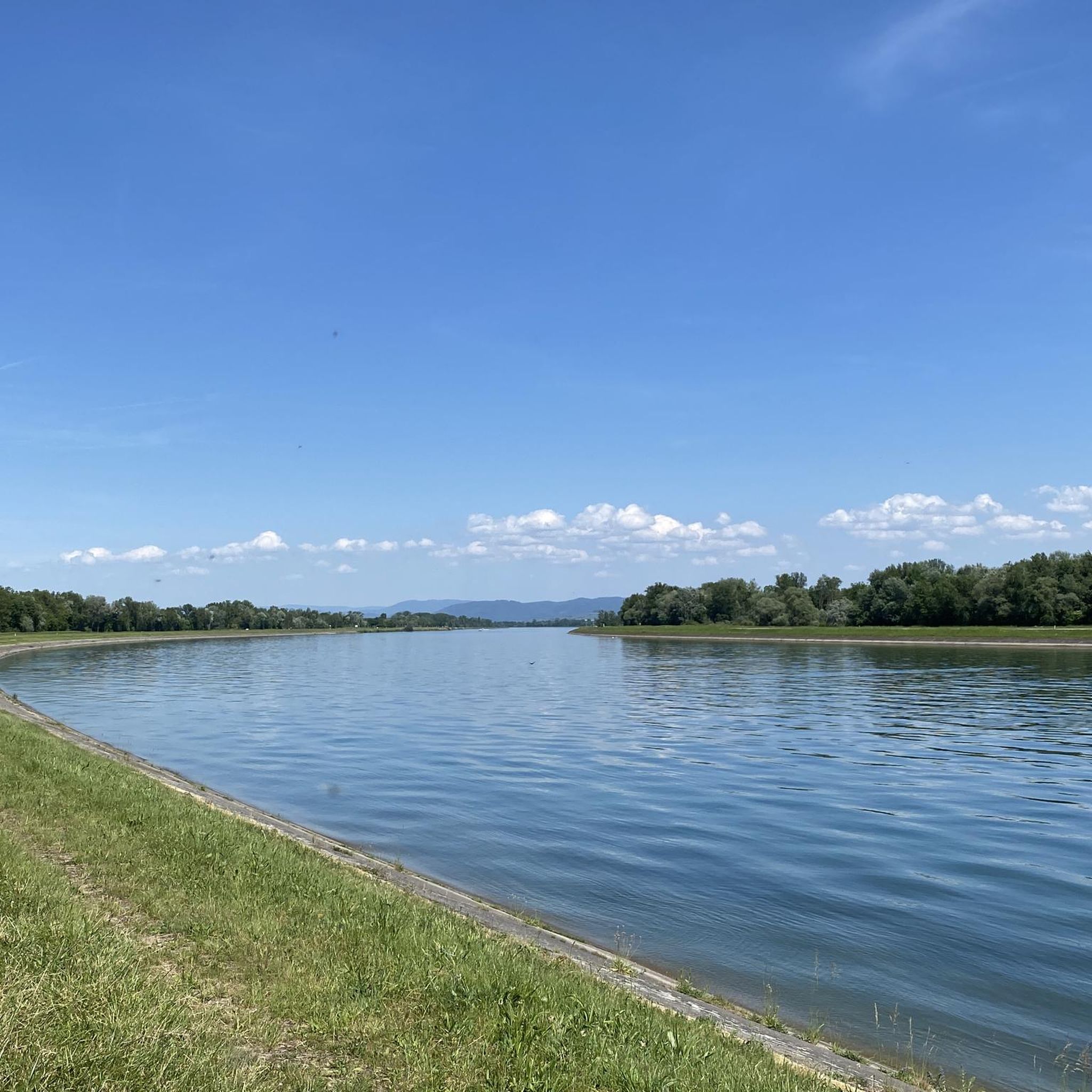
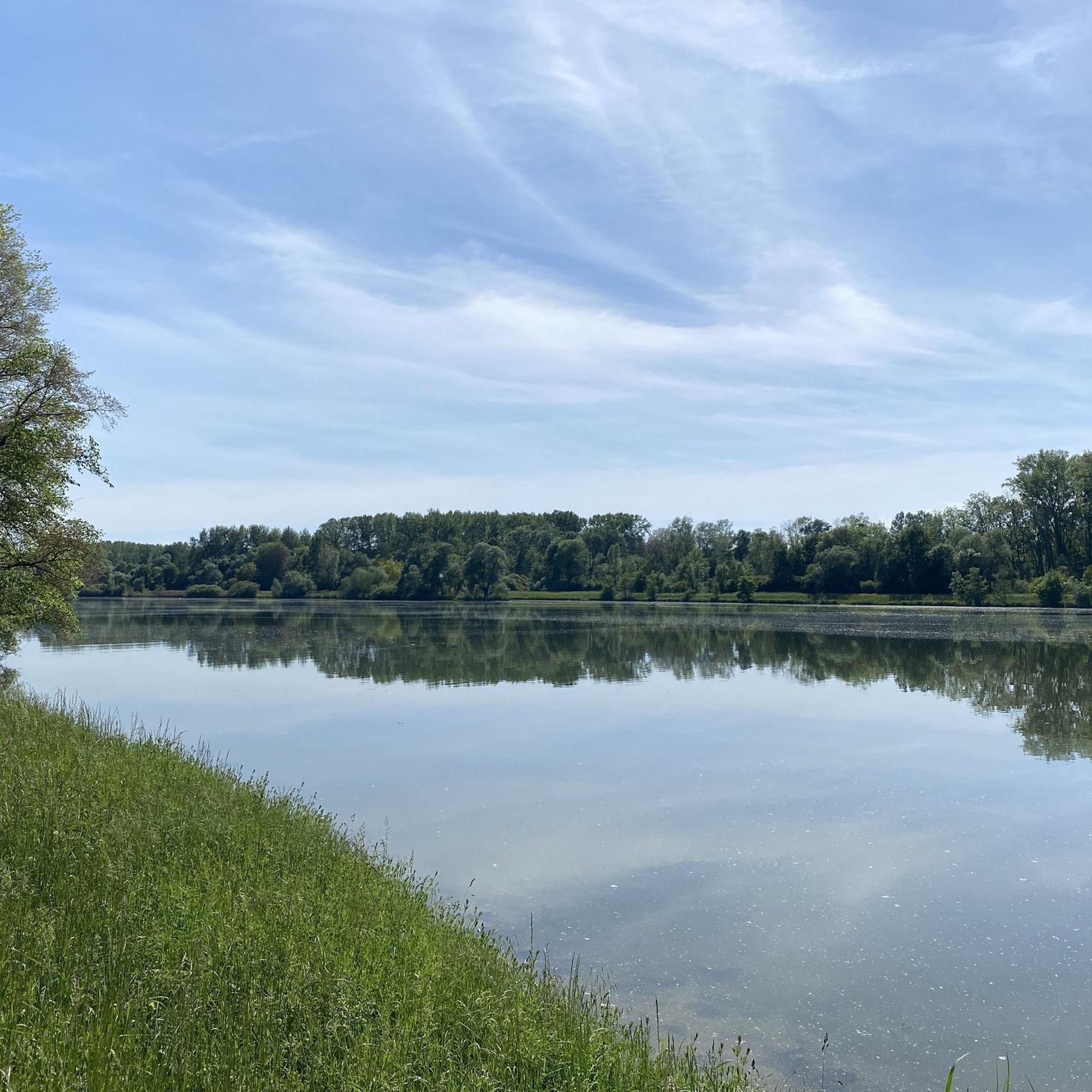
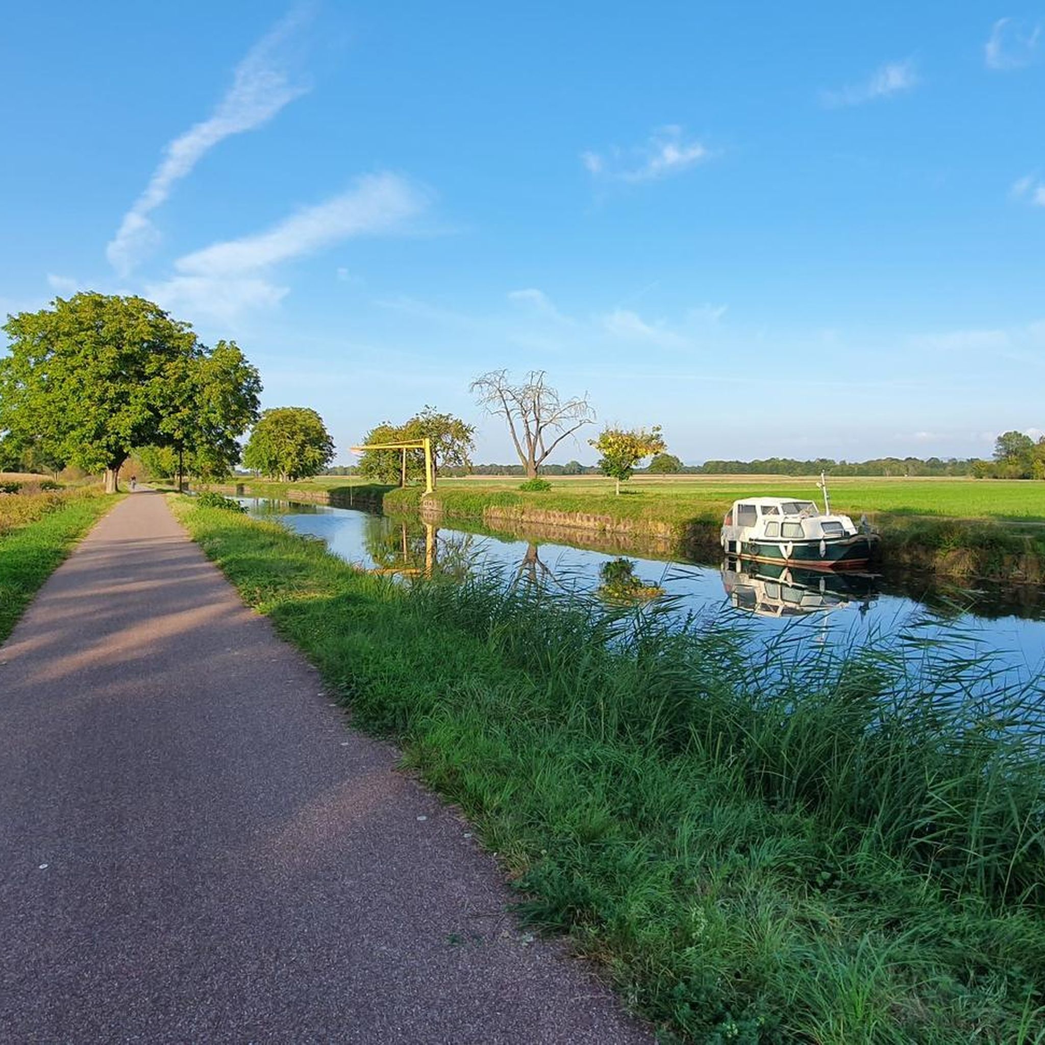
Road cycling routes around Witternheim traverse the flat, alluvial plains of the Grand Ried region in Alsace, France. The area is characterized by its network of canals, including the Rhône-Rhine Canal, which offers extensive asphalted towpaths. Cyclists will find routes winding through natural reserves, forests, and agricultural landscapes, with minimal elevation changes. This terrain provides a predominantly flat and accessible environment for road cycling.
Best road cycling routes around Witternheim
- The most popular road cycling route is Rhine Canal Cycle…
Last updated: October 7, 2026
5.0
(3)
50
riders
61.2km
02:22
90m
90m
Moderate road ride. Good fitness required. Some segments of this route may be unpaved and difficult to ride.
48
riders
80.8km
03:46
880m
880m
Moderate road ride. Good fitness required. Mostly well-paved surfaces and easy to ride.

23
riders
Moderate road ride. Good fitness required. Mostly well-paved surfaces and easy to ride.
21
riders
50.9km
02:04
170m
170m
Moderate road ride. Good fitness required. Mostly well-paved surfaces and easy to ride.
17
riders
26.7km
01:12
30m
30m
Easy road ride. Great for any fitness level. Mostly well-paved surfaces and easy to ride.
Get access to more routes and recommendations from other explorers.
Already have an account?
Our route recommendations are based on thousands of hikes, rides, and runs completed by other people on komoot.
Start today with a free account
Your next adventure awaits.

Tips from the Community

The Odilienberg (763 m) in Alsace is the most important spiritual center of the region. Founded around 690 by Saint Odilia, the monastery attracts hundreds of thousands of pilgrims annually. The centerpiece of the complex is the Basilica of the Assumption of Mary (1687–1692) with the burial chapel, where the relics of the patron saint rest in an 8th-century sandstone sarcophagus. Directly on the panoramic terrace are the Chapel of Tears and the Chapel of Angels (12th century), known for their luminous gold mosaics from 1935. Inside the basilica, there is also a fine wooden inlaid Way of the Cross by Charles Spindler. Below the monastery rocks runs a magnificent hiking trail. It leads past the monumental, colorful ceramic Way of the Cross (14 stations) and the Lourdes Grotto, both integrated directly into the red sandstone by Léon Elchinger in the 1930s. About a 15-minute walk further down, the Odilien spring emerges in the forest, its water traditionally sought for eye ailments. The entire mountain plateau is enclosed by the Heidenmauer, a mysterious, 11-kilometer-long prehistoric defensive wall. Following the hiking trails further south, you reach the Maennelstein (817 m), the highest point of the ridge, which offers a wide panoramic view over the Rhine plain to the Black Forest. The monastery grounds are open all year round and admission is free. Would you like to use this short text for a brochure or are you still looking for information on how to get there for your tour? AI answers may contain errors. For legal advice, you should consult an expert. More information
0
1

Very nice town center
0
0

Beautiful little village on the way to Santiago de Compostela coming from Germany.
0
0

During the German occupation in World War II, the Scherwiller synagogue was used as a camp for Polish forced laborers. The remaining Jewish residents of the town were deported to southern France in 1940. According to Yad Vashem, thirteen former residents fell victim to the Final Solution.
0
0

During the week and outside of the holidays, the crowds are bearable
5
0

One of the most beautiful rooms in the castle. Weapons and armor can be admired here.
10
1
Actually, everything that needs to be said about the castle has already been said. I would like to mention the entrance fees as a positive point. Adults €12, with a guided tour €14 All parking is free, whether in the forest parking lot or on the access road. When I think of Hohenzollern Castle in Hechingen, though...🙆
6
0

That was a great view of Andlau
1
0
Frequently Asked Questions
How many road cycling routes are available around Witternheim?
There are over 170 road cycling routes available around Witternheim, catering to various skill levels. This includes 59 easy routes, 104 moderate routes, and 13 more challenging options.
What is the typical terrain and elevation like for road cycling routes in Witternheim?
The road cycling routes around Witternheim primarily traverse the flat, alluvial plains of the Grand Ried region in Alsace. You'll find minimal elevation changes, making for a predominantly flat and accessible environment. Many routes follow the extensive network of canals, including the Rhône-Rhine Canal, which features asphalted towpaths.
Are there easy or beginner-friendly road cycling routes in the area?
Yes, Witternheim offers many easy and beginner-friendly road cycling routes. For instance, the Historic Centre of Sélestat – Church with three steeples loop from Hilsenheim is an easy 16.5-mile (26.5 km) trail that leads through historic centers and flat countryside, typically completed in just over an hour.
Are there any more challenging road cycling routes around Witternheim?
While the region is largely flat, some routes offer more significant elevation. The Ascent to Haut-Koenigsbourg – Saint-Hippolyte Church loop from Bindernheim is a moderate 43.9-mile (70.7 km) route with over 600 meters of ascent, providing a more demanding experience compared to the canal-side paths.
What kind of natural features or landmarks can I expect to see along the routes?
Road cycling routes in the Witternheim area offer diverse scenery. You can ride through beautiful alluvial forests, such as the Taubergießen alluvial plain, with glimpses of shimmering water. The region also features the Taubergießen Floodplain and the Elzwiesen Nature Reserve. The banks of the Rhône-Rhine Canal are a major highlight, offering picturesque views and the opportunity to cross into Germany via a free ferry.
Are there circular road cycling routes available?
Yes, many road cycling routes around Witternheim are designed as loops. A popular example is the Rhine Canal Cycle Path – Rhône–Rhine Canal loop from Boofzheim, a 37.9-mile (61.2 km) trail that follows the flat, paved towpaths of the canal.
What do other road cyclists enjoy the most about road cycling in Witternheim?
The area is highly rated by the komoot community, with an average score of 4.5 stars. Reviewers often praise the serene setting of the Grand Ried, the well-maintained asphalted towpaths along the Rhône-Rhine Canal, and the opportunity to explore natural reserves and charming villages with minimal traffic.
Is the area suitable for family-friendly road cycling?
Absolutely. The predominantly flat terrain and dedicated cycling paths, especially along the canals, make the Witternheim area very suitable for families. Many routes are low-traffic and offer a relaxed cycling experience, allowing families to enjoy the natural beauty of the Grand Ried together.
What is the best time of year for road cycling in Witternheim?
The best time for road cycling in Witternheim is generally from spring through autumn. During these seasons, the weather is pleasant, and the natural landscapes are at their most vibrant. The flat terrain also makes it enjoyable even on cooler days, though checking local weather conditions is always recommended.
Are there options for exploring historical sites or cultural heritage by bike?
Yes, the region offers themed cycling routes that showcase its rich cultural and historical heritage. You can explore charming towns and villages, and some routes pass by historical sites. For instance, the Château de l'Ortenbourg – Historic Centre of Sélestat loop from Hilsenheim explores historic sites and villages within the region.
Where can I find parking for road cycling routes in Witternheim?
Parking is generally available in the towns and villages that serve as starting points for many routes. For example, routes often begin from places like Boofzheim or Hilsenheim, where you can typically find public parking facilities. It's advisable to check specific starting points for parking availability.
Can I combine road cycling with exploring natural reserves?
Yes, the region is rich in natural reserves that are accessible by bike. The Taubergießen Floodplain and the Ill*Wald Nature Reserve are prime examples where you can cycle amidst diverse plant and animal species, wetlands, and forests, offering a refreshing break from open roads.
Most popular routes around Witternheim
Most popular attractions around Witternheim

Get inspired with the komoot mobile app


Explore more
Browse the best Road cycling routes in other regions.
