The best road cycling routes around Westhausen
4.5
(536)
12,687
riders
332
rides
Road cycling around Westhausen, located in the Ostalbkreis district of Baden-Württemberg, Germany, offers diverse terrain for cyclists. The region features rolling hills and picturesque valleys, providing varied cycling experiences. An extensive network of routes traverses through forests and along river valleys, catering to different skill levels. The landscape includes moderate ascents and descents, making it suitable for both relaxed rides and more challenging workouts.
Best road cycling routes around Westhausen
- The most popular road cycling route is Heiligenstein – Obernai…
Last updated: October 20, 2026
4.6
(8)
394
riders
62.9km
03:11
790m
790m
Moderate road ride. Good fitness required. Mostly well-paved surfaces and easy to ride.
5.0
(1)
176
riders
36.7km
01:35
190m
190m
Easy road ride. Great for any fitness level. Mostly well-paved surfaces and easy to ride.

5.0
(1)
43
riders
55.4km
02:23
370m
370m
Moderate road ride. Good fitness required. Some segments of this route may be unpaved and difficult to ride.
44
riders
65.3km
03:12
690m
690m
Moderate road ride. Good fitness required. Some segments of this route may be unpaved and difficult to ride.
4.2
(13)
45
riders
50.2km
02:12
290m
290m
Moderate road ride. Good fitness required. Mostly well-paved surfaces and easy to ride.
Get access to more routes and recommendations from other explorers.
Already have an account?
Our route recommendations are based on thousands of hikes, rides, and runs completed by other people on komoot.
Start today with a free account
Your next adventure awaits.
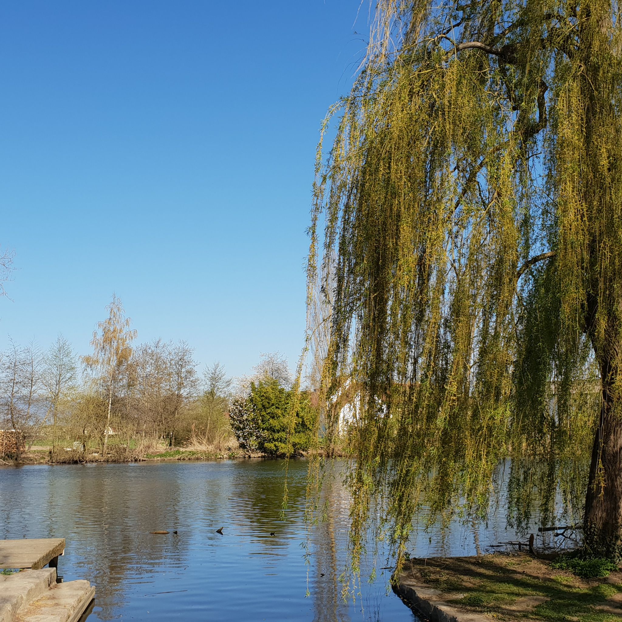
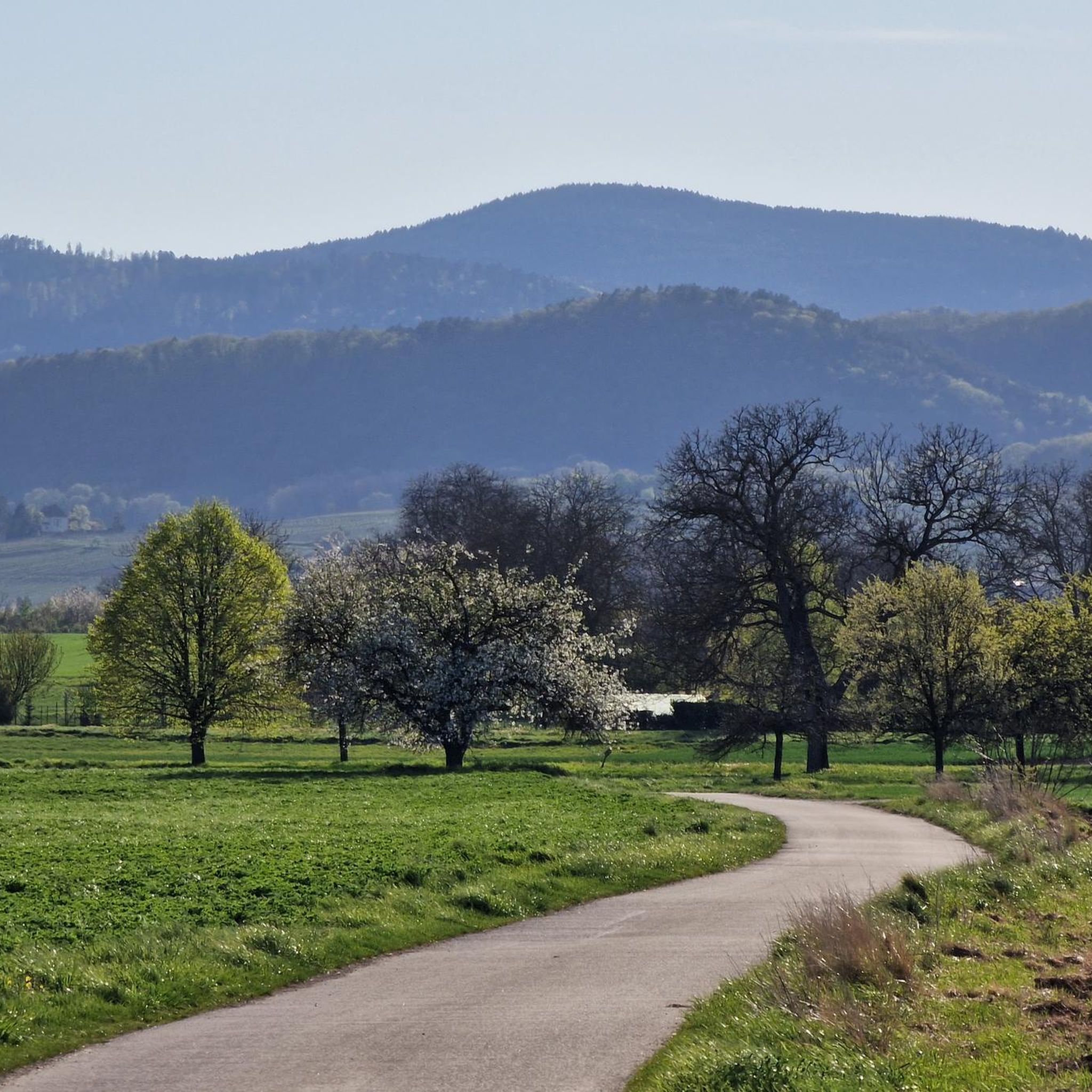

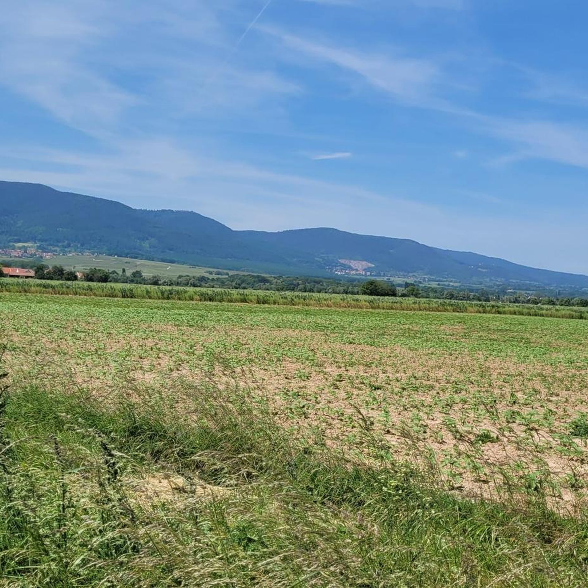
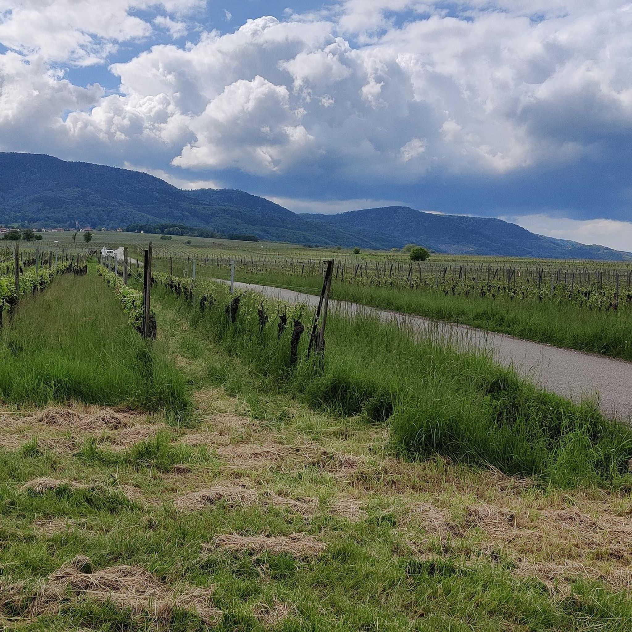
Tips from the Community

The Odilienberg (763 m) in Alsace is the most important spiritual center of the region. Founded around 690 by Saint Odilia, the monastery attracts hundreds of thousands of pilgrims annually. The centerpiece of the complex is the Basilica of the Assumption of Mary (1687–1692) with the burial chapel, where the relics of the patron saint rest in an 8th-century sandstone sarcophagus. Directly on the panoramic terrace are the Chapel of Tears and the Chapel of Angels (12th century), known for their luminous gold mosaics from 1935. Inside the basilica, there is also a fine wooden inlaid Way of the Cross by Charles Spindler. Below the monastery rocks runs a magnificent hiking trail. It leads past the monumental, colorful ceramic Way of the Cross (14 stations) and the Lourdes Grotto, both integrated directly into the red sandstone by Léon Elchinger in the 1930s. About a 15-minute walk further down, the Odilien spring emerges in the forest, its water traditionally sought for eye ailments. The entire mountain plateau is enclosed by the Heidenmauer, a mysterious, 11-kilometer-long prehistoric defensive wall. Following the hiking trails further south, you reach the Maennelstein (817 m), the highest point of the ridge, which offers a wide panoramic view over the Rhine plain to the Black Forest. The monastery grounds are open all year round and admission is free. Would you like to use this short text for a brochure or are you still looking for information on how to get there for your tour? AI answers may contain errors. For legal advice, you should consult an expert. More information
0
1
The monumental ceramic Way of the Cross on Mont Sainte-Odile (French: Chemin de Croix du Mont Sainte-Odile) was created between 1933 and 1935 by the renowned Alsatian artist and master ceramicist Léon Elchinger (1871–1942). From an art historical perspective, it is considered one of the most significant and ambitious masterpieces of sacred ceramic art in Alsace.
0
0

This drinking water fountain is located directly on the D35 on the Route des Vins or the Euro Vélo 5 or EV5 cycle route. It is located approximately in the town center at the road bend, where the wine tavern (Winstub) or the restaurant named Waegell is located. The water from the fountain is pleasantly cool and fresh in the summer.
0
0
This beautiful, idyllic spot in Blienschwiller (formerly Blienschweiler) is located in the town center on the Route des Vins or the Euro Vélo 5 or EV5, which runs here along the D35. According to the 2023 census, about 300 inhabitants live in Blienschwiller. The town is located at the eastern foot of the Northern Vosges in the Bas Rhin department in the arrondissement of Sélestat-Erstein. The main economic sector of the town is arable and wine farming.
1
0

There are freshly squeezed juices, cakes, coffee. Perfect for a short break.
0
0

A place with a very special atmosphere.
0
0

Very nice place with running water
0
0
abandoned road with beautiful view.
0
0
Frequently Asked Questions
How many road cycling routes are available around Westhausen?
Westhausen offers an extensive network of over 340 road cycling routes. This includes 88 easy routes, 198 moderate routes, and 62 difficult routes, catering to various skill levels.
What kind of terrain can I expect when road cycling in Westhausen?
The region around Westhausen is characterized by rolling hills and picturesque valleys, providing a diverse cycling experience. You'll encounter varied terrain with moderate ascents and descents, as well as sections through dense forests and along tranquil river valleys.
Are there any easy road cycling routes suitable for beginners or relaxed rides?
Yes, Westhausen has 88 easy road cycling routes. An example of a route with varied landscapes and a more relaxed profile is the Heiligenstein – Obernai Old Town loop from Benfeld, which is about 37.2 km long.
Which road cycling routes offer a more challenging experience?
For experienced cyclists seeking a challenge, there are 62 difficult routes. A particularly strenuous option is the Kreuzweg Pass (768 m) – Charbonnière Pass loop from Benfeld, which covers 115.6 km and features substantial climbs through mountain passes.
Can I find road cycling routes that pass by scenic attractions or landmarks?
Many routes in the broader region offer scenic views and pass by points of interest. For example, the Alsace Wine Route Vineyards – Andlau loop from Matzenheim takes you through picturesque vineyards. You can also explore highlights like the Canal du Rhône au Rhin Tree-Lined Path or the historic town of Obernai.
What do other road cyclists say about the routes in Westhausen?
The road cycling routes around Westhausen are highly rated by the komoot community, with an average score of 4.5 stars from over 400 reviews. More than 11,000 road cyclists have explored the varied terrain, often praising the diverse landscapes and well-developed trails.
Are there any circular road cycling routes available?
Yes, the region offers numerous circular routes. The broader Schwäbische Ostalb region, which includes Westhausen, features 14 signposted circular routes with varying difficulty levels, showcasing river valleys and panoramic views. An example of a loop is the Heiligenstein – Obernai Old Town loop from Matzenheim.
Are there routes that follow river valleys or canals?
Absolutely. The region's proximity to river valleys, such as those traversed by the Kocher-Jagst Cycle Path, provides tranquil cycling experiences. You can also find routes along canals, like the Rhine Canal Cycle Path – Rhône–Rhine Canal loop from Benfeld, which offers flat sections ideal for relaxed riding.
What is the best time of year for road cycling in Westhausen?
The varied terrain and scenic beauty of Westhausen make it enjoyable for road cycling throughout much of the year. Spring and autumn generally offer pleasant temperatures and beautiful landscapes, while summer provides longer daylight hours. Always check local weather conditions before heading out.
Are there any long-distance road cycling options near Westhausen?
Westhausen is well-connected to several regional and national cycling paths. These include sections of the popular Kocher-Jagst Cycle Path, the German Limes Cycle Route, and the Württemberg Valley Cycle Route, offering opportunities for longer tours and multi-day adventures.
Are there road cycling routes that pass through vineyards?
Yes, the region offers routes that wind through picturesque vineyards. The Alsace Wine Route Vineyards – Andlau loop from Matzenheim is a prime example, allowing you to cycle amidst the scenic Vineyards around Mittelbergheim.
What are some natural features I might encounter on a road cycling tour?
Beyond rolling hills and valleys, you'll cycle through diverse forested areas providing shade and varied scenery. The broader Ostalbkreis district also features unique geological formations like the striking Ipf, an extinct volcanic cone, adding to the natural beauty of the routes.
Most popular routes around Westhausen
Most popular attractions around Westhausen

Get inspired with the komoot mobile app


Explore more
Browse the best Road cycling routes in other regions.
