The best walks and hikes around Mont-Saint-Martin
4.5
(2139)
24,217
hikers
326
hikes
Hiking around Mont-Saint-Martin offers diverse landscapes, blending natural beauty with cultural heritage. The region features a mix of forest paths, open countryside, and river valleys, often following streams like the Crusnes. Hilly terrain with distinct rock formations, such as those found near Chalais, characterizes many routes. The area also incorporates elements of its industrial past, with trails highlighting former mining sites and slag heaps.
Best hiking trails around Mont-Saint-Martin
- The most popular hiking route is Aiguille de Chalais and Rocher…
Last updated: July 9, 2026
4.7
(32)
236
hikers
3.34km
01:05
140m
140m
Easy hike. Great for any fitness level. Easily-accessible paths. Suitable for all skill levels.
4.9
(9)
92
hikers
10.9km
05:26
900m
900m
Hard hike. Very good fitness required. Mostly accessible paths. Sure-footedness required.

Sign up for free
4.8
(4)
67
hikers
17.5km
07:49
1,170m
1,170m
Hard hike. Very good fitness required. Sure-footedness, sturdy shoes and alpine experience required.
4.6
(5)
30
hikers
Easy hike. Great for any fitness level. Easily-accessible paths. Suitable for all skill levels.
4.3
(3)
43
hikers
10.4km
05:48
1,020m
1,020m
Hard hike. Very good fitness required. Sure-footedness, sturdy shoes and alpine experience required.
Get access to more routes and recommendations from other explorers.
Sign up for free
Already have an account?
Our route recommendations are based on thousands of hikes, rides, and runs completed by other people on komoot.
Start today with a free account
Your next adventure awaits.
Login or Signup


Tips from the Community

Unguarded cabin Water source nearby
0
0


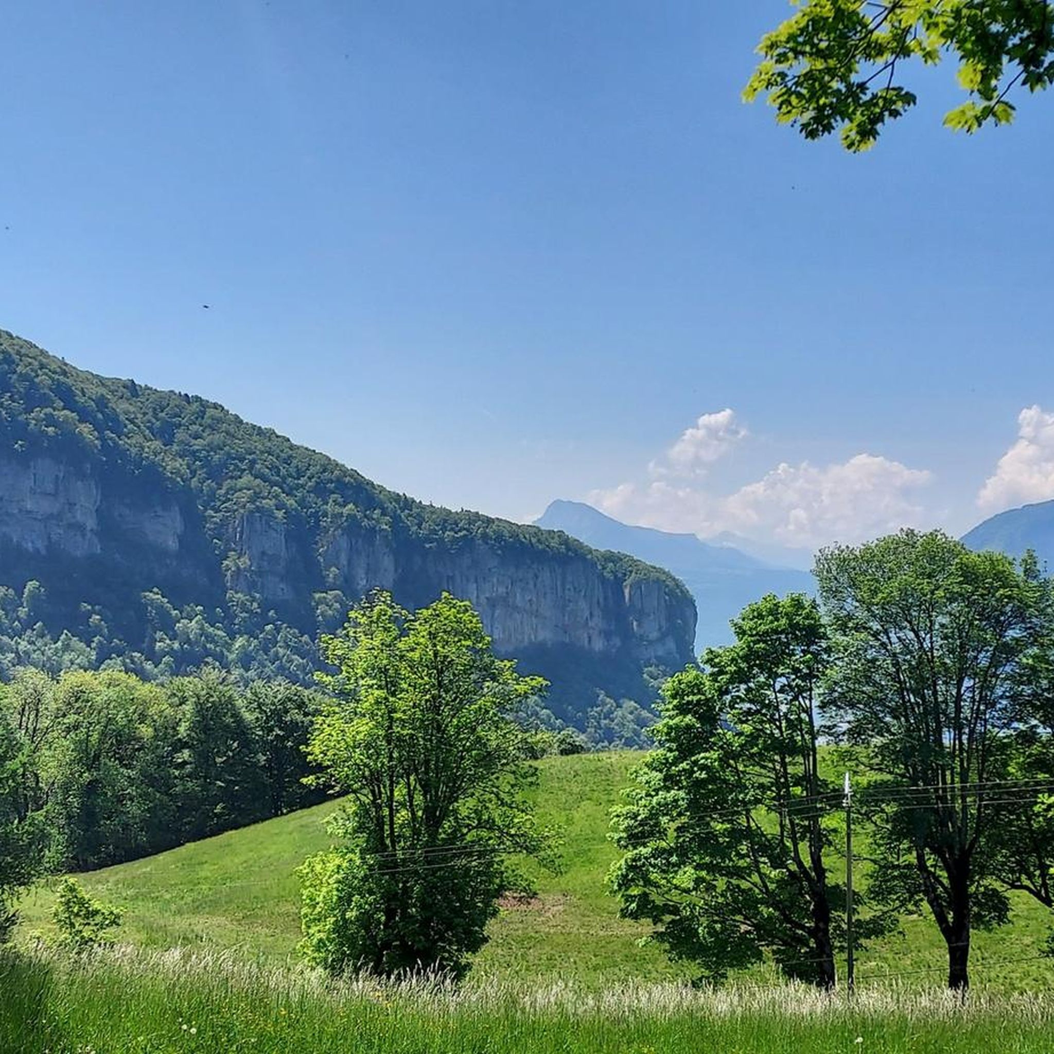
Listed as a historic monument, this building was built by monks in 1101. Accessible by car, it is an ideal starting point for many trails.
1
0
Located above the Bannettes alpine pasture at 1,752 meters, the ol d'Hurtières offers multiple panoramas of the Chartreuse and Belledonne massifs, and the eastern slope of the Vercors.
0
0
Located above the Bannettes alpine pasture at 1,752 meters, the Col d'Hurtières offers multiple panoramas of the Chartreuse and Belledonne massifs, and the eastern slope of the Vercors.
1
0

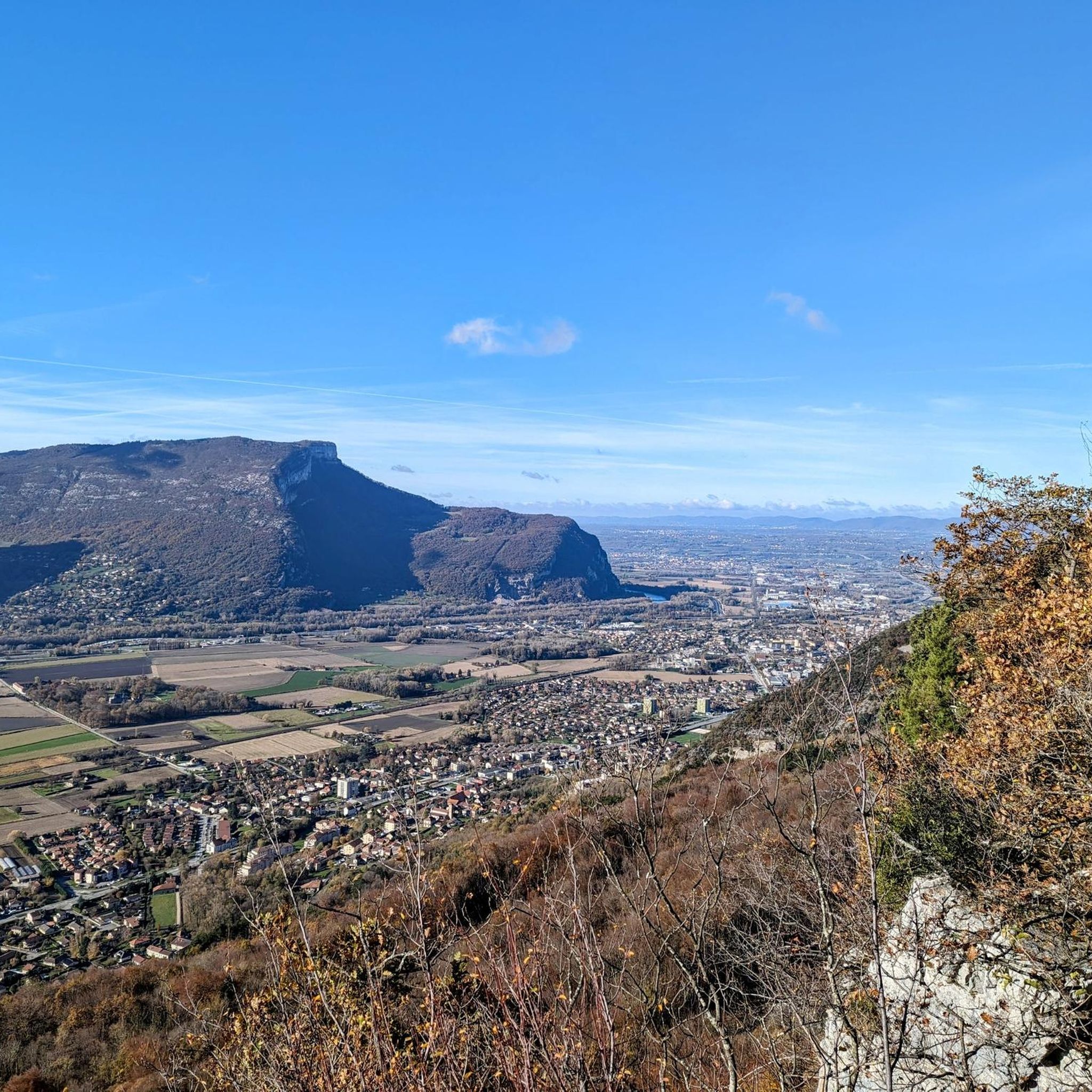
The viewing platform is superb. It juts out to allow a much nicer view of the valley and also has a skyline panel to help you understand the view in more detail.
3
0
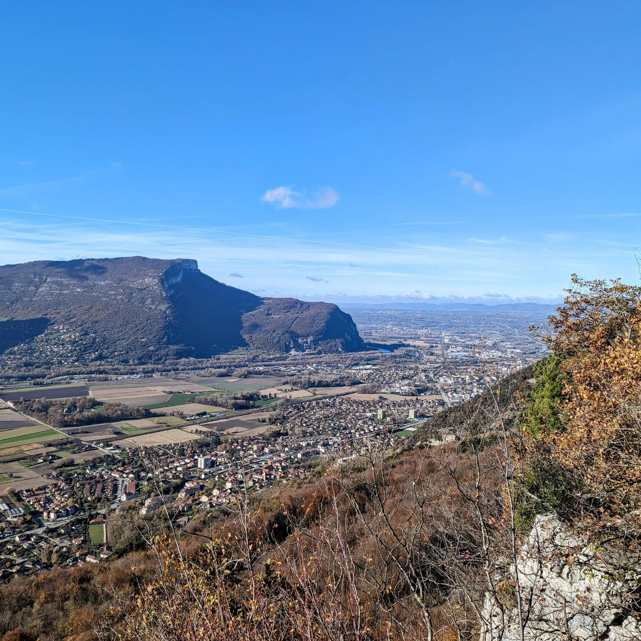
The viewing platform here is superb. It juts out to allow a much nicer view of the valley and also has a skyline panel to help you understand the view in more detail.
2
0

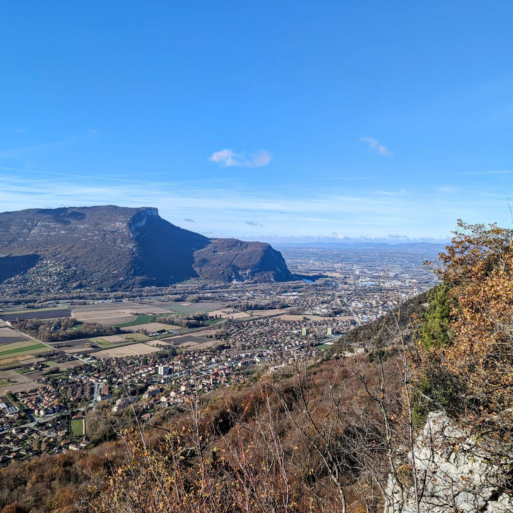
Magnificent view of the Voreppe valley, just opposite the Dent de Moirans.
0
0
Frequently Asked Questions
How many hiking trails are there in Mont-Saint-Martin?
There are over 300 hiking routes available around Mont-Saint-Martin, catering to various preferences and fitness levels.
What kind of terrain can I expect on hikes around Mont-Saint-Martin?
Hikes in Mont-Saint-Martin offer a diverse landscape, including a mix of forest paths, open countryside, and serene river valleys, often following streams like the Crusnes. You'll also encounter hilly or mountainous terrain with distinct rock formations, as well as trails that highlight the region's industrial past, such as former mining sites.
Are there any easy hiking trails suitable for beginners in Mont-Saint-Martin?
Yes, Mont-Saint-Martin offers a good selection of easy trails. For example, the Aiguille de Chalais and Rocher de Bellevue Loop is an easy 2.1-mile (3.3 km) route that takes just over an hour to complete, featuring varied terrain and rock formations.
Can I find challenging hikes in Mont-Saint-Martin?
Absolutely. For experienced hikers seeking a challenge, routes like the Chalves Rock loop from Mont-Saint-Martin offer difficult terrain over 6.8 miles (10.9 km) with significant elevation changes and expansive views. Another demanding option is the Col d'Hurtières – Cheminée de Mont St Martin loop from Mont-Saint-Martin, a 10.8-mile (17.4 km) trail through varied landscapes.
Are there any circular hiking routes in Mont-Saint-Martin?
Many trails in Mont-Saint-Martin are designed as loops, allowing you to start and end at the same point. Examples include the Aiguille de Chalais and Rocher de Bellevue Loop and the challenging Chalves Rock loop from Mont-Saint-Martin.
What natural features or landmarks can I see while hiking in Mont-Saint-Martin?
The region offers a blend of natural beauty and historical sites. You might encounter distinct rock formations, river valleys, and dense forests. Nearby attractions include the Charmant Som summit, the unique The Cyclone forest, and the impressive La Folatière Monolith. Some trails also lead to historical sites like the Monastère de Chalais or feature
Are there family-friendly hiking options in Mont-Saint-Martin?
Yes, there are several easy routes suitable for families. The diverse landscapes, including forests and open countryside, provide engaging environments for children. Look for shorter, less strenuous loops that offer interesting natural features without excessive elevation gain.
Is Mont-Saint-Martin part of a larger natural park?
Yes, the area is part of or in close proximity to the Lorraine Regional Natural Park, which is known for its varied natural landscapes and well-maintained paths. You can find more information about the park's offerings at coeurdelorraine-tourisme.co.uk.
What do other hikers enjoy most about hiking in Mont-Saint-Martin?
The hiking experience in Mont-Saint-Martin is highly rated by the komoot community, with an average score of 4.5 stars from over 2000 reviews. Hikers often praise the diverse landscapes, which blend natural beauty with cultural heritage, and the extensive network of trails that cater to all difficulty levels.
Are there any hikes that explore the industrial heritage of the region?
Yes, Mont-Saint-Martin's industrial past is integrated into some hiking routes. You can explore attractions like the Chemin Transfrontalier des Mines de Fer (Cross-border Iron Mine Trail) which features educational panels, or visit the Crassier de Musson, a former slag heap repurposed into a unique nature reserve.
What is the best time of year to go hiking in Mont-Saint-Martin?
The region offers enjoyable hiking experiences across multiple seasons. Spring and autumn provide pleasant temperatures and vibrant scenery, with changing foliage in the forests. Summer is also popular, especially for shaded forest paths and river valleys. Winter hiking is possible, but conditions may vary, so checking local weather and trail conditions is advisable.
Most popular routes around Mont-Saint-Martin
Most popular attractions around Mont-Saint-Martin

Get inspired with the komoot mobile app


Explore more
Browse the best Hikes in other regions.
