The best walks and hikes around Burgheim
4.5
(5290)
26,692
hikers
823
hikes
Hiking around Burgheim offers diverse landscapes characterized by river valleys, rolling hills, and extensive forests. The region features paths along the Danube River and the Kleine Paar, providing serene waterside views and varied forest experiences. Ancient glacial formations like the Urdonau and Urschutter add unique geological interest to the terrain. These natural features create a varied backdrop for outdoor activities.
Best hiking trails around Burgheim
- The most popular hiking route is Truttenhausen Abbey – Rosenberg loop from Heiligenstein, an…
Last updated: October 14, 2026
4.6
(5)
60
hikers
5.88km
01:42
160m
160m
Easy hike. Great for any fitness level. Easily-accessible paths. Suitable for all skill levels.
4.5
(6)
29
hikers
11.8km
03:33
390m
390m
Moderate hike. Good fitness required. Easily-accessible paths. Suitable for all skill levels.

5.0
(5)
23
hikers
25.1km
08:11
1,130m
1,130m
Hard hike. Very good fitness required. Easily-accessible paths. Suitable for all skill levels.
4.2
(6)
44
hikers
8.87km
02:42
310m
310m
Moderate hike. Good fitness required. Easily-accessible paths. Suitable for all skill levels.
4.7
(3)
14
hikers
27.9km
08:05
690m
690m
Hard hike. Very good fitness required. Easily-accessible paths. Suitable for all skill levels.
Get access to more routes and recommendations from other explorers.
Already have an account?
Our route recommendations are based on thousands of hikes, rides, and runs completed by other people on komoot.
Start today with a free account
Your next adventure awaits.

Tips from the Community

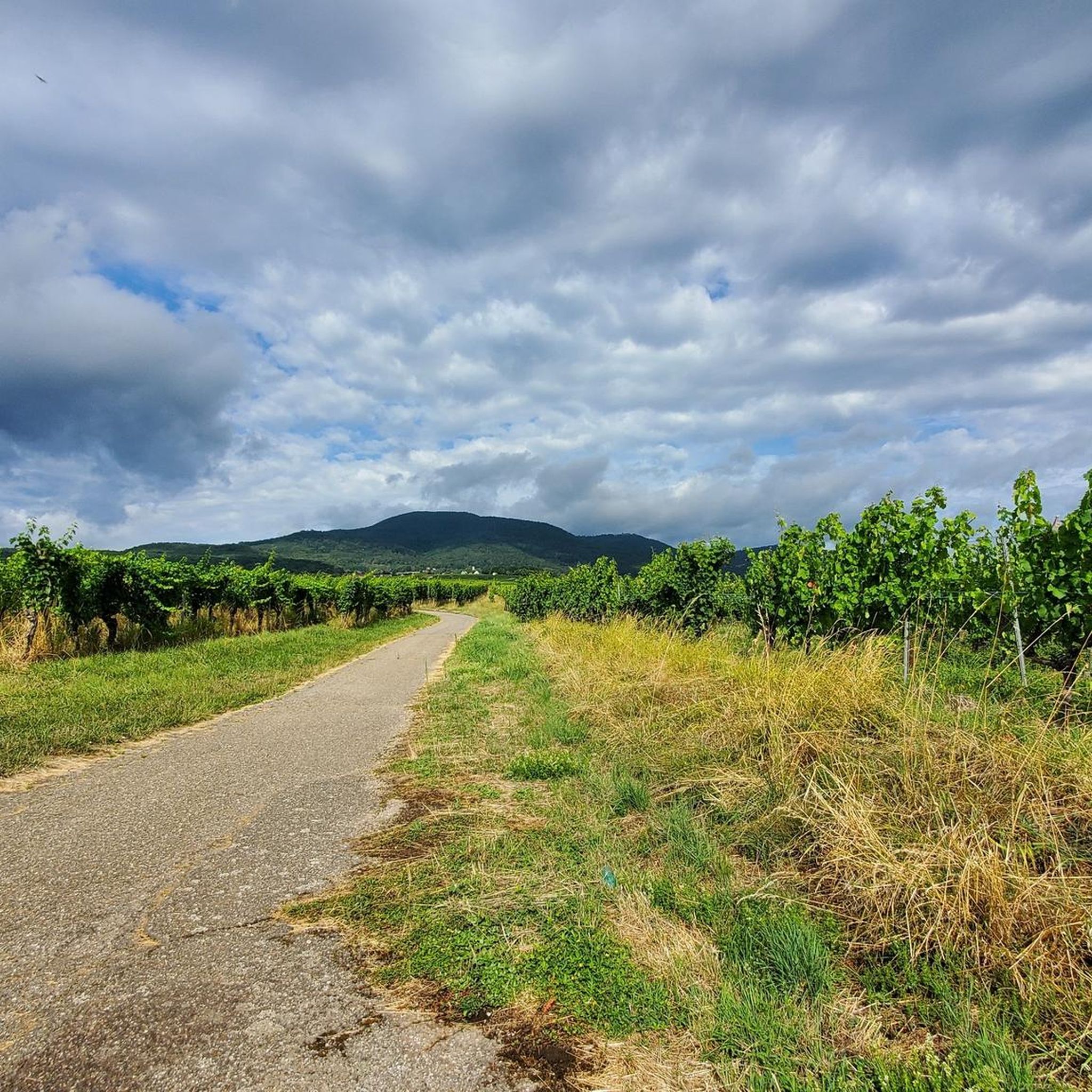
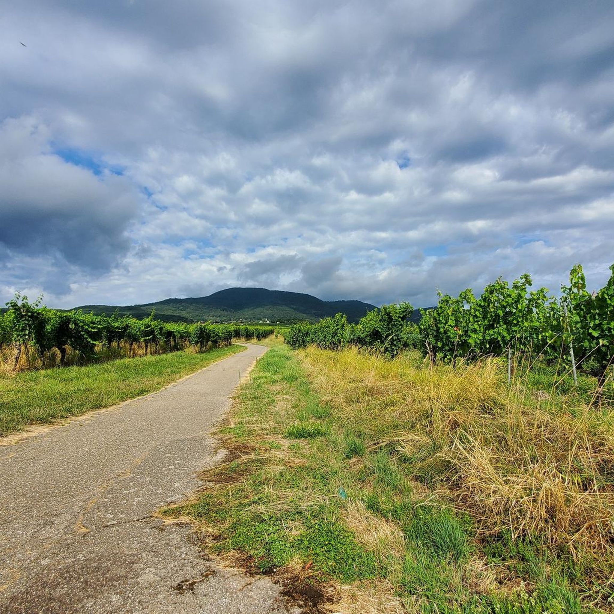
Beautiful view into the Rhine plain 😍
0
0

Striking rock with a view of the Rhine valley and the Black Forest
0
0
The monumental ceramic Way of the Cross on Mont Sainte-Odile (French: Chemin de Croix du Mont Sainte-Odile) was created between 1933 and 1935 by the renowned Alsatian artist and master ceramicist Léon Elchinger (1871–1942). From an art historical perspective, it is considered one of the most significant and ambitious masterpieces of sacred ceramic art in Alsace.
0
0
The Maennelstein (Männelstein) is a striking, 817-meter-high Bunter Sandstone rock formation on the southern edge of Odilienberg (Mont Sainte-Odile) in Alsace. It is considered one of the most beautiful viewpoints in the region and offers a wide panoramic view over the Rhine plain, the Black Forest, and on clear days even as far as the Alps.
0
0
The Heidenmauer (French: Mur Païen) is a monumental, eleven-kilometer-long fortification from the early Middle Ages that encloses the high plateau of Mont Sainte-Odile in Alsace. For centuries, the imposing structure has fascinated archaeologists and visitors alike with its sheer dimension and construction method. Around 300,000 irregularly hewn sandstone blocks were stacked without mortar to form a dry-stone wall up to two meters wide. To give the huge blocks stability, the builders connected them with swallowtail-shaped wooden clamps made of oak. This extraordinary technique secured the structure against the shifting of stones on the steep forest terrain. For a long time, the facility was surrounded by great mystery. Due to the name Pope Leo IX gave the wall in the 11th century, its origin was suspected to be prehistoric, Celtic, or Roman times. Modern scientific investigations finally brought clarity: using dendrochronology (tree-ring analysis), the wooden connecting wedges could be precisely dated to the late 7th or early 8th century AD. The wall thus originated in the Merovingian era. To this day, research puzzles over the exact purpose of this gigantic facility. The most likely theory is that the wall served as a mighty refuge for the population in times of political unrest. At the same time, the monumental structure demonstrated the claim to power and prestige of the then Dukes of Alsace, to whose family Saint Odilia also belonged. Today, the Heidenmauer is a protected cultural monument and a popular destination for hikers. A well-signposted circular trail leads in the shade of the trees directly along the historical remains and connects the ruins with mystical places such as the Druid's Grotto and the monastery on the mountain summit.
0
0

A place with a very special atmosphere.
0
0

Unique how the craftsmanship has proven itself here.
0
0

beautiful path below the impressive rocks
2
0
Frequently Asked Questions
How many hiking trails are available around Burgheim?
There are nearly 800 hiking routes around Burgheim, offering a wide variety of experiences. Over 400 of these are considered easy, 325 are moderate, and 70 are more challenging, ensuring options for all skill levels.
What kind of landscapes can I expect to see while hiking in Burgheim?
Hiking in Burgheim offers diverse landscapes, including scenic river valleys, gently rolling hills, and expansive forests. You'll find paths along the prominent Danube River and the Kleine Paar, providing serene waterside views. The region also features ancient glacial formations like the Urdonau and Urschutter, adding unique geological interest to your walks.
Are there any family-friendly hiking trails in Burgheim?
Yes, Burgheim offers many family-friendly options. With over 400 easy routes, you can find paths suitable for all ages. Trails like the Truttenhausen Abbey – Bear fountain loop from Heiligenstein, at 4.5 km, are great for a pleasant outing with children.
What is the best time of year to go hiking in Burgheim?
The best times to hike in Burgheim are typically spring and early autumn. These seasons offer mild temperatures and vibrant scenery. Late February is particularly notable for the 'Märzenbecherteppiche' (carpets of spring snowflakes) around the Friedberger Ach, providing a beautiful natural spectacle.
Are there any circular hiking routes in Burgheim?
Yes, many of the hiking routes in Burgheim are designed as circular paths, allowing you to start and end at the same point. An example of a moderate circular route is the Landsberg Castle – Barr Town Hall and Fountain loop from Gertwiller, which covers 11.5 km.
What do other hikers say about the trails in Burgheim?
The hiking routes in Burgheim are highly rated by the komoot community, with an average score of 4.5 stars from over 3900 reviews. Hikers often praise the diverse landscapes, from river valleys to forests, and the well-maintained paths suitable for various skill levels.
Are there any notable natural attractions or landmarks to see along the trails?
Yes, the region boasts several natural and historical points of interest. You can explore natural monuments like Saint Odile's Spring or the Rocher des Géants. Some trails also offer views of peaks such as Mount Sainte-Odile.
Are there any challenging hikes for experienced trekkers?
For experienced trekkers seeking a challenge, Burgheim offers several difficult routes. One such option is the Landsberg Castle – Oberkirch Rock loop from Goxwiller, a 27.7 km trail that leads through diverse landscapes and typically takes around 8 hours to complete.
Can I find trails that follow the Danube River?
Absolutely. Burgheim's terrain is significantly shaped by the Danube River, and many paths follow its course, offering serene waterside views. These routes provide a unique perspective on the region's natural beauty.
Are there any shorter, easy hikes for a quick outing?
Yes, if you're looking for a shorter, easy walk, consider routes like the Bear fountain – Rosenberg loop from Heiligenstein. This trail is approximately 3.1 km and is perfect for a refreshing stroll without significant elevation changes.
Most popular attractions around Burgheim

Get inspired with the komoot mobile app


Explore more
Browse the best Hikes in other regions.
