The best walks and hikes around Entre-Deux-Eaux
4.4
(1762)
7,817
hikers
342
hikes
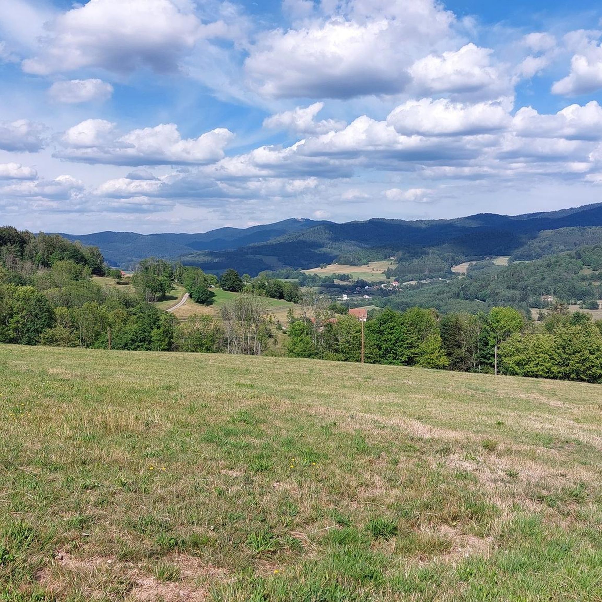
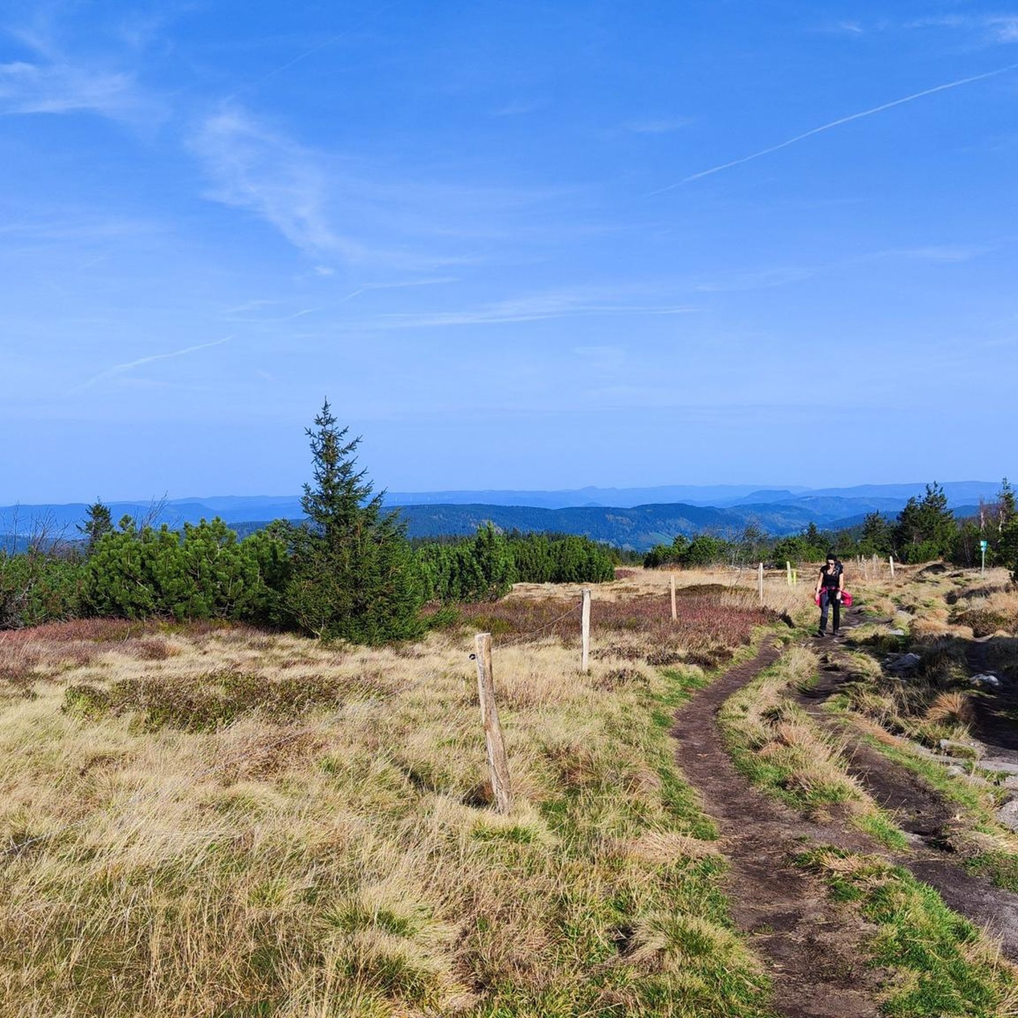
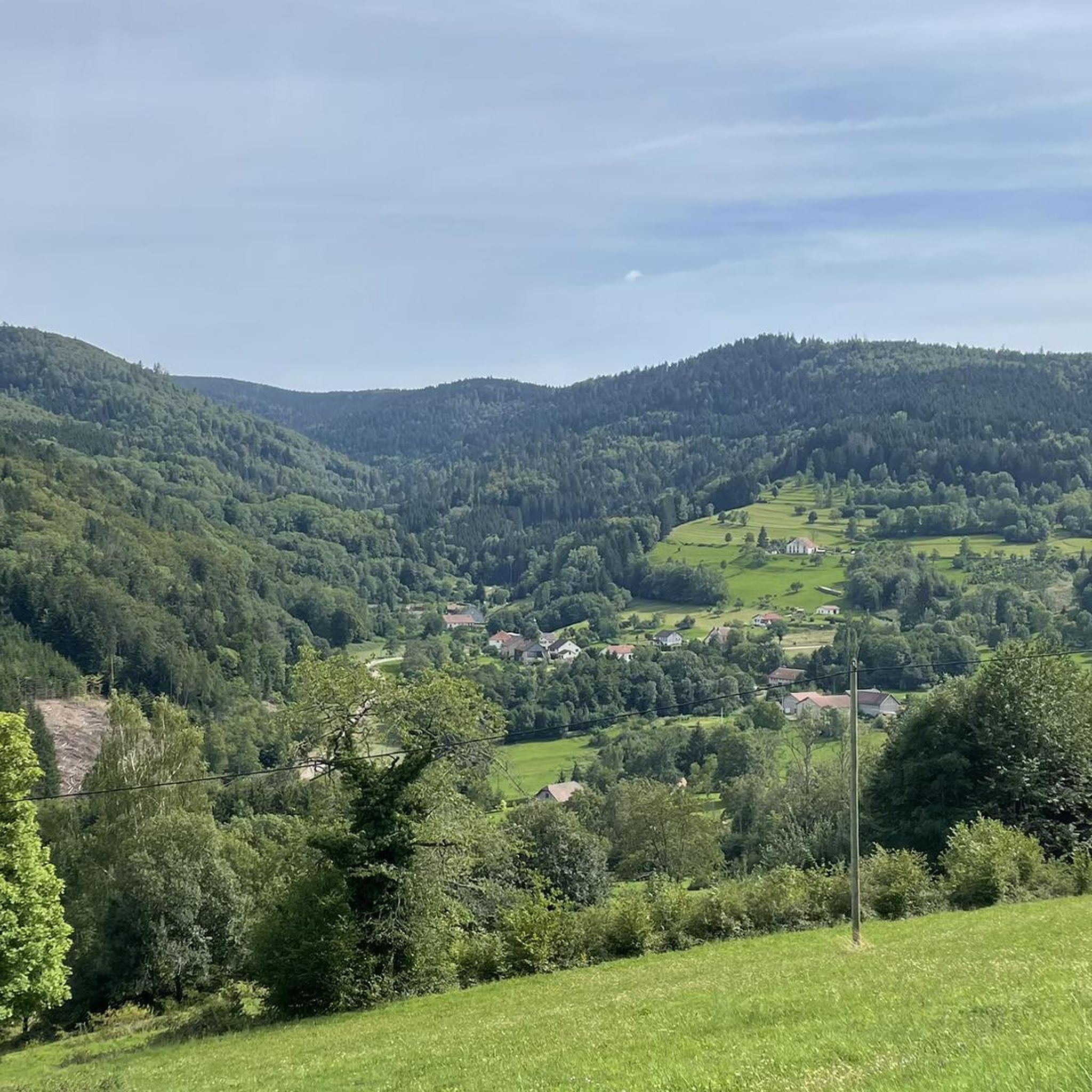
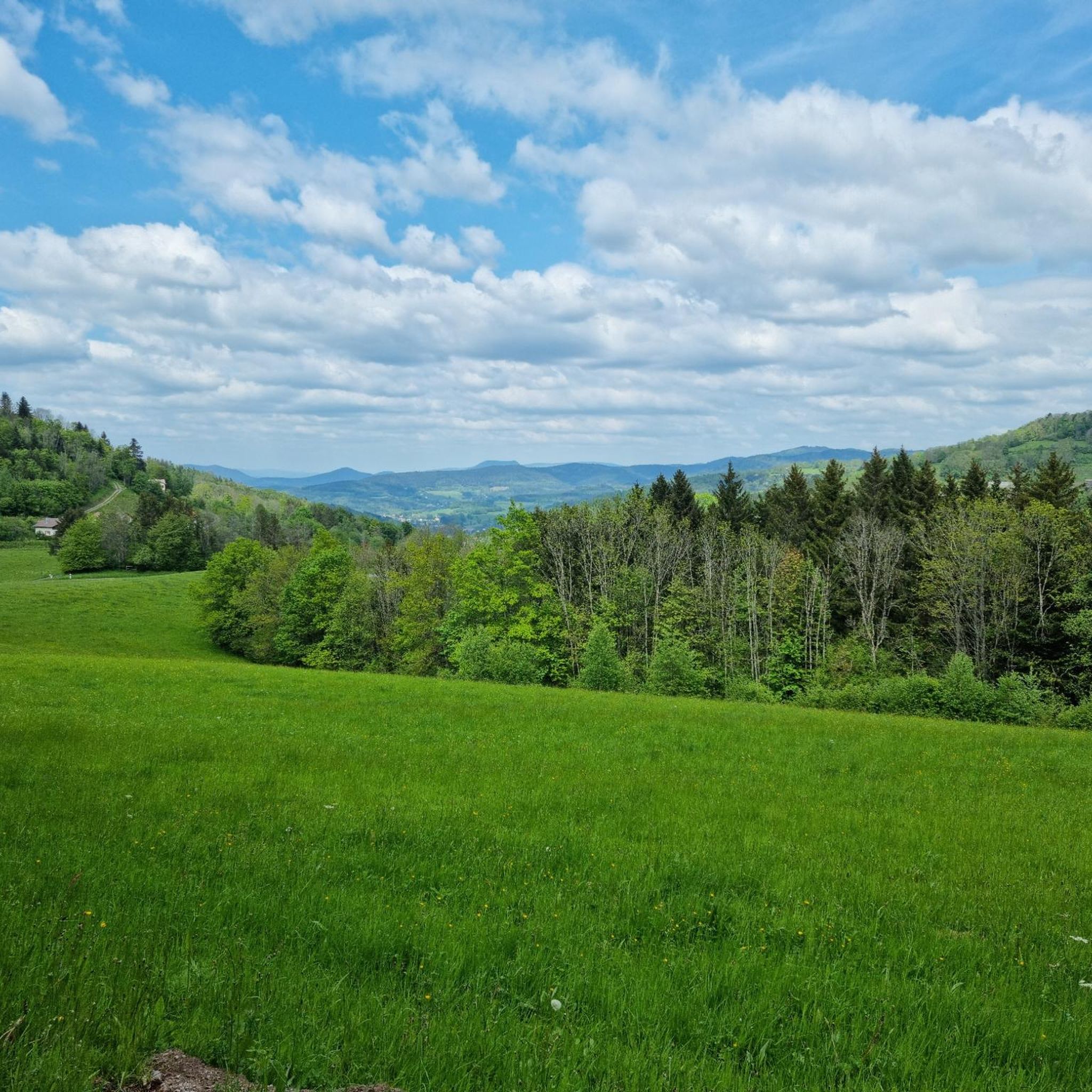
Hiking around Entre-Deux-Eaux, situated in the Vosges department of Grand Est, France, offers diverse landscapes for outdoor exploration. The region is characterized by its mountainous terrain, dense forests, and prominent rock formations, including the Massif du Kemberg. It also features various mountain passes and is located between two arms of the Meurthe river, providing varied natural environments for hikers.
Best hiking trails around Entre-Deux-Eaux
- The most popular hiking route is Roche d'Anozel – View of the Forest loop from Saulcy-sur-Meurthe…
Last updated: June 29, 2026
4.8
(27)
133
hikers
15.3km
05:09
520m
520m
Hard hike. Very good fitness required. Mostly accessible paths. Sure-footedness required.
4.6
(9)
34
hikers
5.56km
01:36
140m
140m
Easy hike. Great for any fitness level. Easily-accessible paths. Suitable for all skill levels.

Sign up for free
4.6
(9)
35
hikers
5.21km
01:30
130m
130m
Easy hike. Great for any fitness level. Easily-accessible paths. Suitable for all skill levels.
4.9
(9)
28
hikers
8.21km
02:25
230m
230m
Moderate hike. Good fitness required. Easily-accessible paths. Suitable for all skill levels.
3.9
(11)
47
hikers
15.4km
04:15
230m
230m
Moderate hike. Good fitness required. Mostly accessible paths. Sure-footedness required.
Get access to more routes and recommendations from other explorers.
Sign up for free
Already have an account?
Our route recommendations are based on thousands of hikes, rides, and runs completed by other people on komoot.
Start today with a free account
Your next adventure awaits.
Login or Signup
Tips from the Community

Nice, but not really any panorama...
0
0


Great view of Saint-Dié-des-Vosges
1
0
No idea where this highlight got its name from 🤷.
0
0

This part is relatively steep and it is doubtful that everyone will be able to use it.
0
0

Emblematic rock of the Kemberg massif, from which the view of the Vosges is clear.
0
0

A water basin and several benches have been installed at this crossroads of forest roads and hiking trails. I can't deduce the name from it.
3
0
Frequently Asked Questions
How many hiking trails are there in Entre-Deux-Eaux?
Entre-Deux-Eaux offers an extensive network of over 340 hiking trails. These routes cater to various difficulty levels, with 118 easy, 201 moderate, and 27 difficult options available for exploration.
What natural features can I explore while hiking in Entre-Deux-Eaux?
The region is rich in natural beauty. You can explore the prominent Massif du Kemberg with its rock formations and viewpoints, dense fir forests (sapinières), and various mountain passes. The area is also characterized by its location between two arms of the Meurthe river. Notable passes include Bagenelles Pass and Col de Mandray.
Are there easy hikes around Entre-Deux-Eaux suitable for beginners?
Yes, there are 118 easy hiking trails in the area. For a gentle walk through serene woodlands, consider the Birch Forest loop from Coinches, which is 3.5 miles (5.6 km) long, or the Birch Forest loop from Ban-de-Laveline, a 3.2 miles (5.2 km) trail.
Are there challenging hikes near Entre-Deux-Eaux?
For those seeking a challenge, Entre-Deux-Eaux offers 27 difficult hiking routes. A notable option is the Roche d'Anozel – View of the Forest loop from Saulcy-sur-Meurthe, a 9.5 miles (15.3 km) trail that takes over 5 hours to complete and offers expansive forest views.
What do other hikers enjoy most about hiking in Entre-Deux-Eaux?
The hiking trails in Entre-Deux-Eaux are highly rated by the komoot community, with an average score of 4.4 stars from over 1600 reviews. Hikers frequently praise the diverse terrain, from the mountainous Massif du Kemberg to the tranquil forest paths, and the well-maintained network of routes.
Are there circular walks available in Entre-Deux-Eaux?
Yes, many of the trails in Entre-Deux-Eaux are designed as circular routes, allowing you to start and end at the same point. Examples include the Birch Forest loop from Coinches and the Birch Forest loop from Ban-de-Laveline, both offering immersive woodland experiences.
Can I find viewpoints with panoramic scenery along the trails?
Absolutely. Many trails lead to scenic viewpoints, particularly within the Massif du Kemberg, offering expansive vistas of the surrounding forests and valleys. The Ormont sector also provides panoramic views of Saint-Dié. Consider visiting Dry Fir Rock or La Roche Saint-Martin and View of Saint-Dié for stunning outlooks.
Are there any historical sites or landmarks to see while hiking?
Yes, some trails in the region blend natural exploration with local history. You can find routes that pass by elements like 'Les murs de mémoire de Fraize' (The walls of memory of Fraize) or explore sites such as the La Bure Celtic Camp, offering a glimpse into the area's past.
Are there family-friendly hikes in Entre-Deux-Eaux?
With 118 easy trails, many routes are suitable for families. The shorter, less strenuous loops through the forests, such as the Birch Forest loop from Coinches, are excellent choices for a pleasant outing with children.
What is the best time of year to hike in Entre-Deux-Eaux?
The diverse landscapes of Entre-Deux-Eaux offer enjoyable hiking experiences throughout much of the year. Spring brings lush greenery, summer provides warm weather for forest walks, and autumn showcases vibrant foliage. While winter hiking is possible, be prepared for colder conditions and potential snow, especially at higher elevations.
Are there dog-friendly hiking trails in Entre-Deux-Eaux?
Many trails in Entre-Deux-Eaux are suitable for hiking with dogs, especially the numerous forest paths. It's always recommended to keep your dog on a leash, particularly in areas with wildlife or near livestock, and to check local regulations for specific routes.
Where can I find parking for hiking trails in Entre-Deux-Eaux?
Parking is generally available at the starting points of many popular trails and in the villages surrounding Entre-Deux-Eaux. For specific routes, such as those starting from Saulcy-sur-Meurthe or Coinches, you'll typically find designated parking areas nearby.
Most popular routes around Entre-Deux-Eaux
Most popular attractions around Entre-Deux-Eaux

Get inspired with the komoot mobile app


Explore more
Browse the best Hikes in other regions.
