The best walks and hikes around Remomeix
4.4
(1010)
4,599
hikers
269
hikes
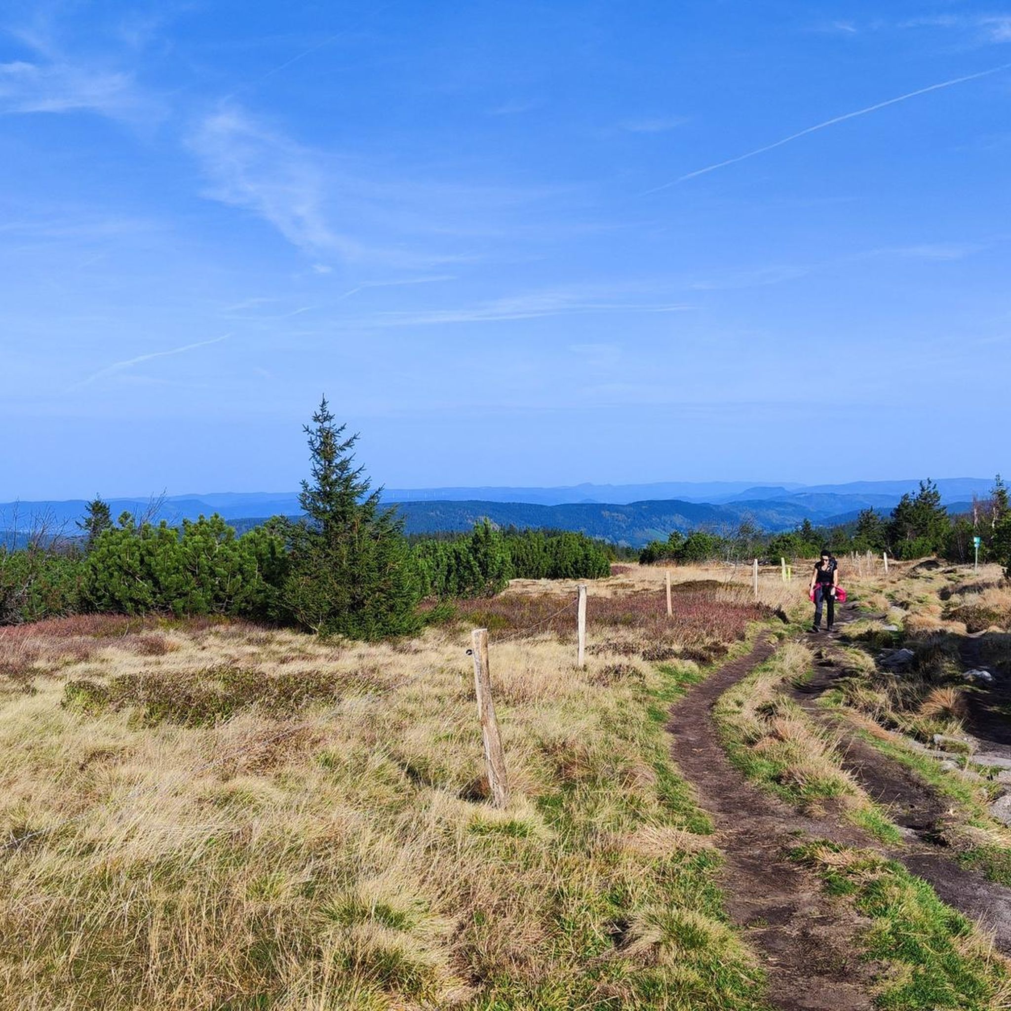
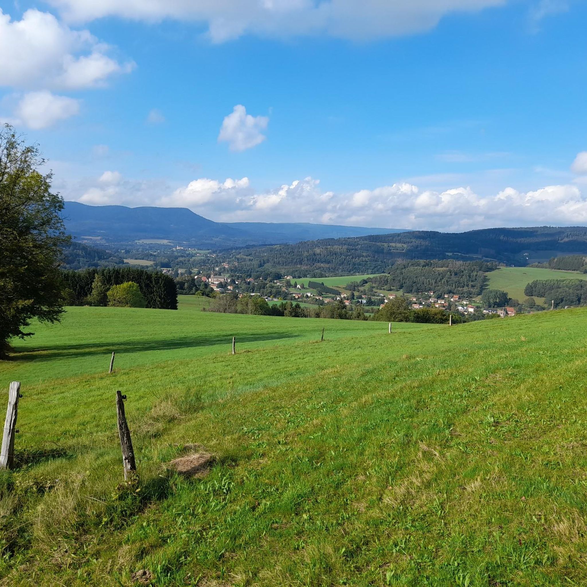
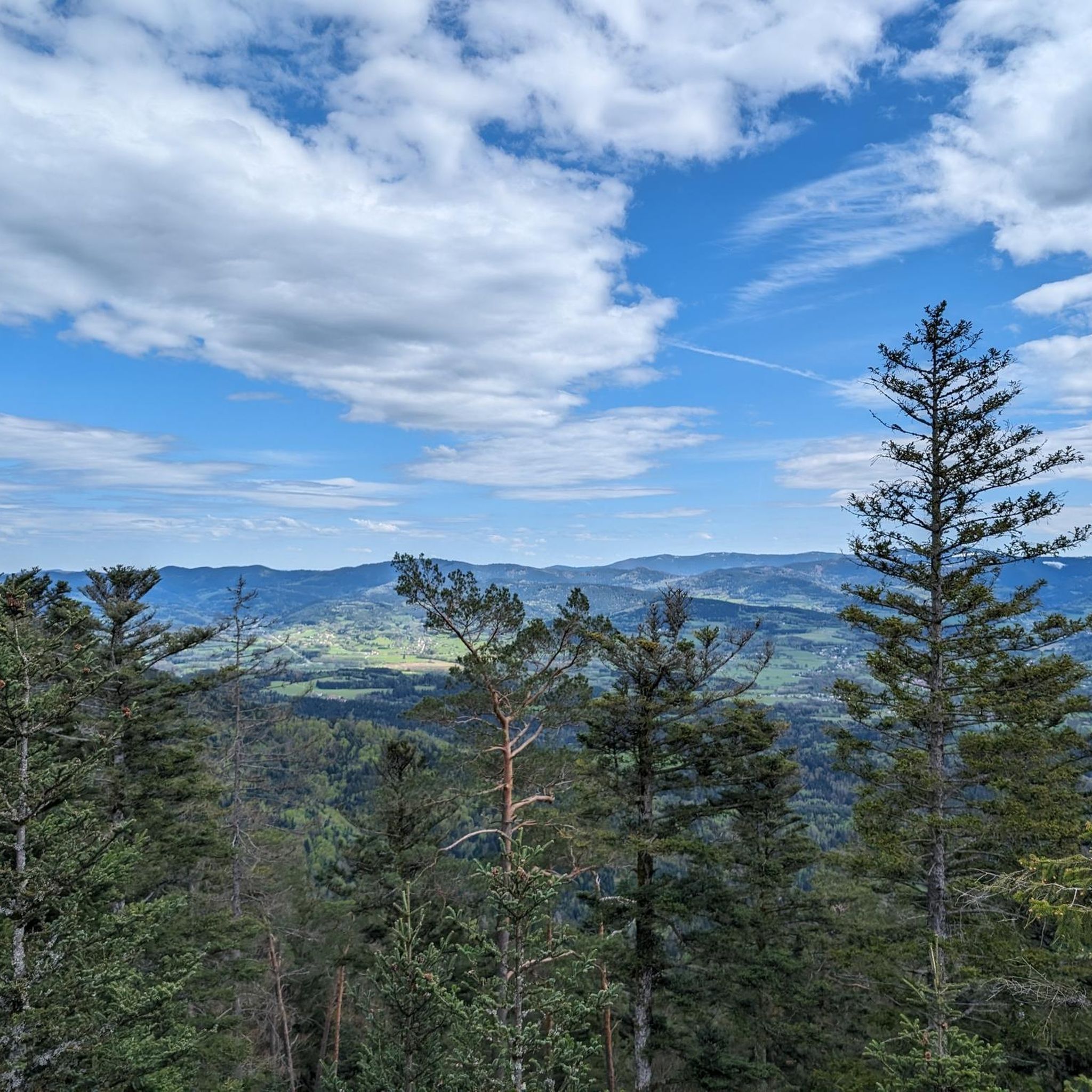
Hiking around Remomeix offers diverse landscapes within the Vosges department of France. The region is characterized by rolling hills, deep valleys, and extensive forests, providing varied terrain for outdoor activities. Hikers can explore a network of well-maintained trails that lead through woodlands and offer views of the surrounding natural features. The area includes gentle ascents and more challenging routes, catering to different fitness levels.
Best hiking trails around Remomeix
- The most popular hiking route is Birch Forest loop from Coinches…
Last updated: June 24, 2026
4.6
(9)
34
hikers
5.56km
01:36
140m
140m
Easy hike. Great for any fitness level. Easily-accessible paths. Suitable for all skill levels.
4.6
(9)
35
hikers
5.21km
01:30
130m
130m
Easy hike. Great for any fitness level. Easily-accessible paths. Suitable for all skill levels.

Sign up for free
4.4
(10)
24
hikers
12.0km
03:35
360m
360m
Moderate hike. Good fitness required. Easily-accessible paths. Suitable for all skill levels.
5.0
(1)
33
hikers
Easy hike. Great for any fitness level. Easily-accessible paths. Suitable for all skill levels.
5.0
(1)
11
hikers
11.8km
03:51
500m
500m
Moderate hike. Good fitness required. Mostly accessible paths. Sure-footedness required.
Get access to more routes and recommendations from other explorers.
Sign up for free
Already have an account?
Our route recommendations are based on thousands of hikes, rides, and runs completed by other people on komoot.
Start today with a free account
Your next adventure awaits.
Login or Signup

Tips from the Community

yes up there you have a good view
1
0

The Meurthe is the 3rd largest tributary of the Moselle, after the Saar and the Sauer. Its source is near the Col de la Schlucht, in the municipality of Le Valentin. After approx. 20 km, the Meurthe reaches Saint-Dié-des-Vosges. After 160 km, it flows into the Moselle north of Nancy.
0
0

Magnificent rock, very impressive and a great trail!
0
0

Nestled in a valley between wooded hills, this peaceful village is a gateway to the Vosges. During the First World War, it was close to the front, which is still visible in the area via bunkers, trenches and memorials. Today, Ban-de-Laveline is a popular base for hikers and cyclists, with routes to the Col d’Hermanpaire, the Spitzemberg and the nature reserve around the Tête de Raves. In the village itself, you will find a sober Église Saint-Laurent, a classic Monument aux Morts, and a peaceful atmosphere that invites you to explore.
9
0

E e u err there is one and and and and ere and an e one
0
0

This rock shelter linked to a fort is that of the commander of the cartographic section. Inside there is a table, a stove, a bed, a telephone and electricity. This is where all the information obtained by the observers on the massif arrives.
0
0
Frequently Asked Questions
How many hiking trails are available around Remomeix?
There are over 270 hiking routes around Remomeix, offering a wide range of options for different skill levels. You'll find everything from easy strolls to more challenging ascents within the Vosges region.
What types of landscapes will I encounter on hikes near Remomeix?
Hiking around Remomeix will take you through diverse landscapes characteristic of the Vosges department. Expect to wander through extensive forests, rolling hills, and deep valleys. Some routes offer beautiful views of the Meurthe valley, and you might even discover unique spots like the 'Glacière' area, known for its consistently cool temperatures.
Are there easy hiking options suitable for beginners or families?
Yes, Remomeix offers many easy hiking options. Nearly 100 routes are classified as easy, perfect for beginners or families. The region also has fun hikes specifically adapted for children, designed to encourage their enjoyment of walking. An example of an easy route is the Birch Forest loop from Ban-de-Laveline, which explores the characteristic birch forests.
What do other hikers say about the trails in Remomeix?
The hiking trails in Remomeix are highly regarded by the komoot community, with an average rating of 4.5 stars from over 900 reviews. More than 4,500 hikers have used komoot to explore the varied terrain, often praising the well-maintained paths and the natural beauty of the Vosges forests.
Are there any scenic viewpoints or natural monuments to discover?
Yes, the area around Remomeix features several scenic viewpoints and natural monuments. You can find highlights such as Dry Fir Rock, La Roche Saint-Martin and View of Saint-Dié, and Roche des Abris. Additionally, the Col de Mandray offers beautiful views of the Meurthe valley.
Can I find circular hiking routes in Remomeix?
Many of the trails around Remomeix are circular, allowing you to start and end your hike at the same point. For instance, the View of Ban de Laveline – Ban-de-Laveline loop from Ban-de-Laveline is a moderate circular route offering varied terrain and views.
Are there any historical sites along the hiking trails?
Yes, you can discover historical sites while hiking. For example, the La Bure Celtic Camp is a notable historical site in the vicinity, offering a glimpse into the region's past.
What is the best time of year to go hiking in Remomeix?
Remomeix offers hiking opportunities throughout the year. Summer is popular for guided hikes and exploring the cool 'Glacière' area. The extensive forests provide pleasant shade during warmer months, while winter hiking is also possible, allowing you to experience the serene, snow-covered landscapes of the Vosges.
Are there any waterfalls near Remomeix?
While not directly on the trails in Remomeix, the notable Cascade de la Pissoire is located about 31 km away, offering another natural attraction for those willing to venture a bit further.
What are the difficulty levels of the hikes in this region?
The trails around Remomeix cater to all levels. You'll find 94 easy routes, 156 moderate routes, and 21 difficult routes. This variety ensures that both casual walkers and experienced hikers can find suitable challenges.
Is it possible to combine hiking with other outdoor activities in the area?
Absolutely! The region encourages a holistic outdoor experience. You can combine hiking with electric-bike rides, or visit nearby lakes like Gérardmer and Longemer for water activities such as stand-up paddleboarding and canoeing.
How can I plan my hiking routes in Remomeix?
Tourist offices in the region offer mobile applications and maps with detailed information on starting points, markings, distances, and elevation changes. Komoot also provides comprehensive details for planning your routes, including difficulty, duration, and points of interest.
Most popular attractions around Remomeix

Get inspired with the komoot mobile app


Explore more
Browse the best Hikes in other regions.
