The best running trails around Neuvillers-Sur-Fave
4.3
(26)
2,387
runners
152
runs
Jogging around Neuvillers-Sur-Fave offers diverse terrain within the Vosges department of northeastern France. The region is characterized by rolling hills, extensive forests, and the Fave river, providing varied running paths. Elevations range from 363 to 524 meters, with an average of 380 meters, ensuring a mix of gentle and challenging routes. This natural setting provides a backdrop for outdoor activities, including numerous trails suitable for running.
Best jogging routes around Neuvillers-Sur-Fave
- The most popular jogging route is Saint Martin Church…
Last updated: July 5, 2026
11
runners
11.9km
01:16
100m
100m
Moderate run. Good fitness required. Mostly paved surfaces. Suitable for all skill levels.
8
runners
10.3km
01:05
110m
110m
Moderate run. Good fitness required. Mostly paved surfaces. Suitable for all skill levels.

Sign up for free
9
runners
26.5km
03:34
1,030m
1,030m
Hard run. Very good fitness required. Sure-footedness, sturdy shoes and alpine experience required.
5
runners
7.44km
00:46
50m
50m
Moderate run. Good fitness required. Mostly paved surfaces. Suitable for all skill levels.
5
runners
11.1km
01:25
450m
450m
Hard run. Very good fitness required. Mostly paved surfaces. Suitable for all skill levels.
Get access to more routes and recommendations from other explorers.
Sign up for free
Already have an account?
Our route recommendations are based on thousands of hikes, rides, and runs completed by other people on komoot.
Start today with a free account
Your next adventure awaits.
Login or Signup
Tips from the Community


E e u err there is one and and and and ere and an e one
0
0

This rock shelter linked to a fort is that of the commander of the cartographic section. Inside there is a table, a stove, a bed, a telephone and electricity. This is where all the information obtained by the observers on the massif arrives.
0
0


Since the 13th century, a hospice was maintained there by the church. and welcomed pilgrims, travelers and the city's sick. At the request of the inhabitants of this suburb, a church was built there, while a new, more spacious hospital was erected on the right bank of the Meurthe. The church was dedicated to Saint-Martin and was consecrated in 1728. On July 14, 1895, during the National Day fireworks display, the church was set on fire by a rocket which hit the roof covered with fir twigs and burned to the ground. According to the plans of the Parisian architect Heubès, a new Vosges sandstone church was built in the "floral Romanesque" style and consecrated on August 13, 1902.
3
0

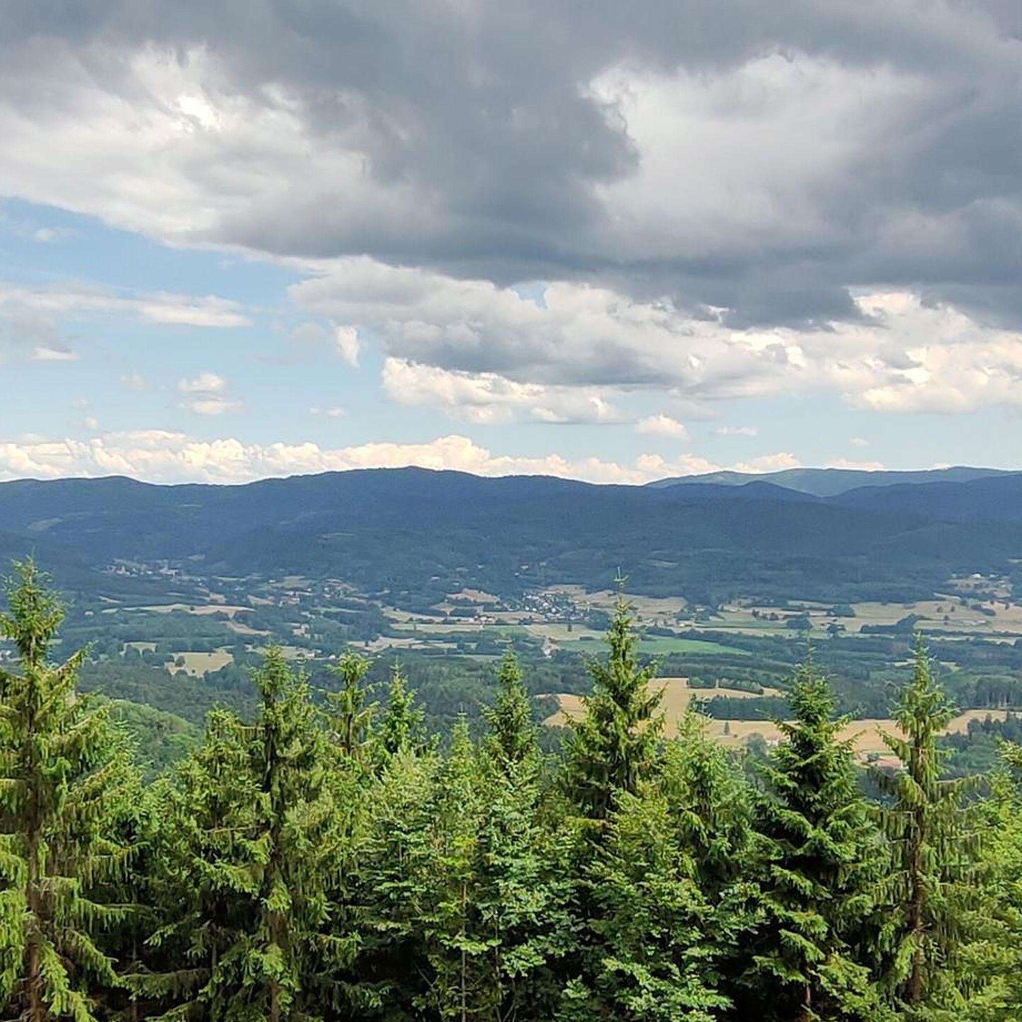
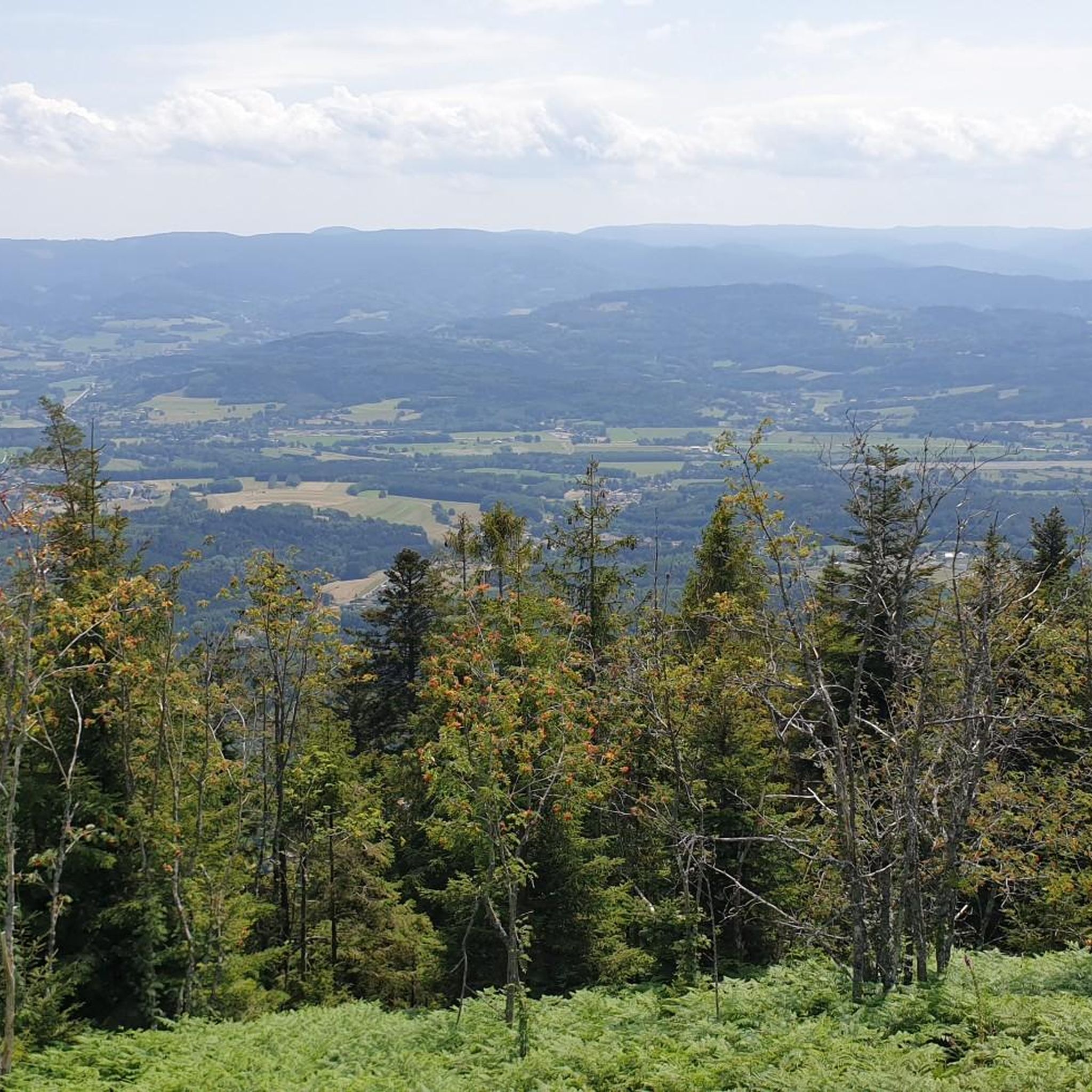
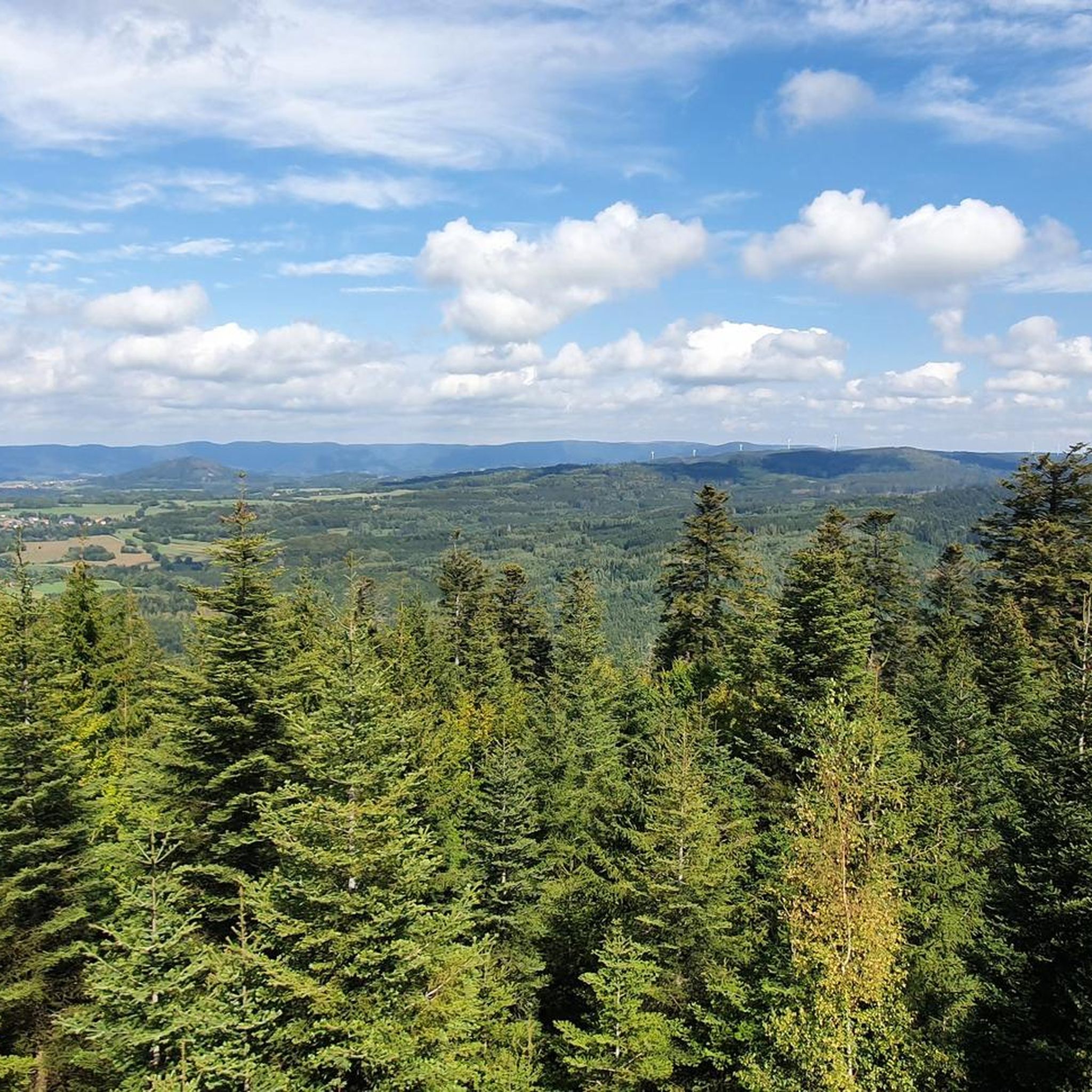
Rock equipped with ladder and handrail to access a beautiful view over the plain of Saint-Dié.
2
0

Vantage point above Saint-di-des-vogese.. you have to be free from giddiness
2
0
Frequently Asked Questions
How many running routes are available around Neuvillers-Sur-Fave?
There are over 150 running routes around Neuvillers-Sur-Fave, offering a wide variety of options for all fitness levels. These routes are highly rated by the komoot community, with an average score of 4.6 stars.
What kind of terrain can I expect on the running trails in Neuvillers-Sur-Fave?
The terrain around Neuvillers-Sur-Fave is quite varied, characterized by rolling hills, dense forests, and river valleys. You'll find everything from gentle, accessible paths along the Fave river to more challenging ascents through the Vosges mountains.
Are there running routes suitable for beginners in Neuvillers-Sur-Fave?
Yes, Neuvillers-Sur-Fave offers several easy running routes perfect for beginners or those looking for a relaxed jog. While the majority are moderate, there are at least 4 routes classified as easy, providing a gentle introduction to the area's natural beauty.
Can I find challenging running trails with significant elevation gain in the area?
Absolutely. The region, nestled in the Vosges mountains, offers plenty of challenging routes. For instance, the Fairy Rocks – Roche des Abris loop from Pair-et-Grandrupt is a difficult 16.4-mile (26.5 km) trail with over 1000 meters of elevation gain, leading through forested mountains.
What scenic viewpoints or natural landmarks can I discover while running near Neuvillers-Sur-Fave?
Many running paths in the area offer stunning views and pass by natural landmarks. You might encounter viewpoints like Dry Fir Rock or La Roche Saint-Martin and View of Saint-Dié. The Roche des Abris is another notable natural monument.
Are there any historical sites or cultural attractions accessible from the running paths?
Yes, the region blends natural beauty with history. You could run near the ancient La Bure Celtic Camp on the Massif de l'Ormont, or pass by the Trail of the Hamlets Fallen for France – La Fontenelle, offering a historical backdrop to your run.
Are there any running routes that feature waterfalls?
Yes, you can find routes that include waterfalls. The Molières Waterfall loop from Pair-et-Grandrupt is a challenging 20.6 km trail that will lead you to this beautiful natural feature.
Are there circular running routes available in Neuvillers-Sur-Fave?
Many of the running routes in the area are circular, allowing you to start and finish at the same point. For example, the popular Running loop from Neuvillers-sur-Fave is a moderate 10.3 km circular path that explores the local natural beauty, including sections along the Fave river.
What do other runners enjoy the most about jogging in Neuvillers-Sur-Fave?
The area is highly rated by the komoot community, with an average score of 4.6 stars from over 12 reviews. Runners often praise the diverse terrain, from tranquil riverside paths to scenic forest trails, and the beautiful views of the Meurthe valley and Vosges mountains.
Are the running trails in Neuvillers-Sur-Fave suitable for families?
While specific 'family-friendly' designations aren't always explicit, many of the easier and moderate routes, especially those along the Fave river or through less steep forest sections, can be suitable for families who enjoy outdoor activities together. Look for routes with lower elevation gain and shorter distances.
Can I bring my dog on the running trails around Neuvillers-Sur-Fave?
The Vosges region is generally very welcoming to dogs on trails, provided they are kept under control, especially in forested areas or near wildlife. It's always best to check local signage for any specific restrictions, but most natural paths are suitable for running with your canine companion.
Is there parking available near the running routes?
While specific parking information for every route isn't detailed, the presence of numerous hiking and cycling routes in the Vosges region suggests that parking is generally available at common trailheads or village centers. For specific routes, checking the komoot tour page for the starting point often provides parking details.
What is the best time of year for running in Neuvillers-Sur-Fave?
The region's diverse landscape makes it enjoyable for running across multiple seasons. Spring and autumn offer pleasant temperatures and beautiful foliage. Summer provides shaded forest trails, while winter can transform the landscape into a picturesque setting for those prepared for colder conditions, though some higher elevation trails might be less accessible.
Most popular routes around Neuvillers-Sur-Fave
Most popular attractions around Neuvillers-Sur-Fave

Get inspired with the komoot mobile app


Explore more
Browse the best Running Trails & Routes in other regions.
