The best road cycling routes around Le Beulay
4.1
(241)
2,496
riders
127
rides
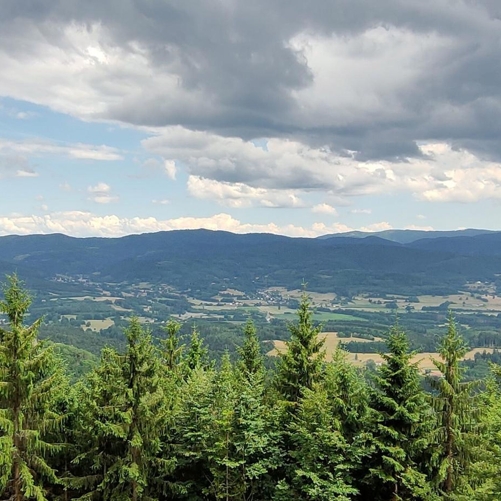
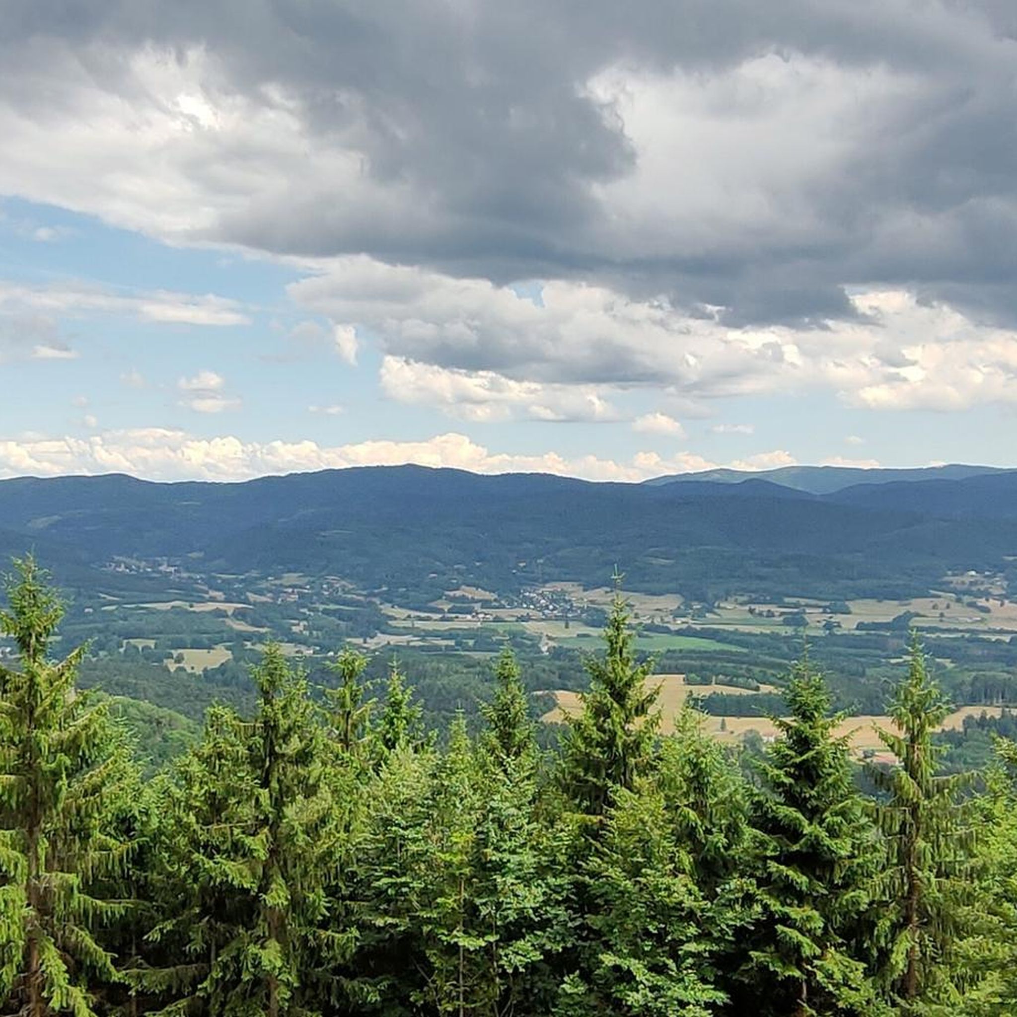
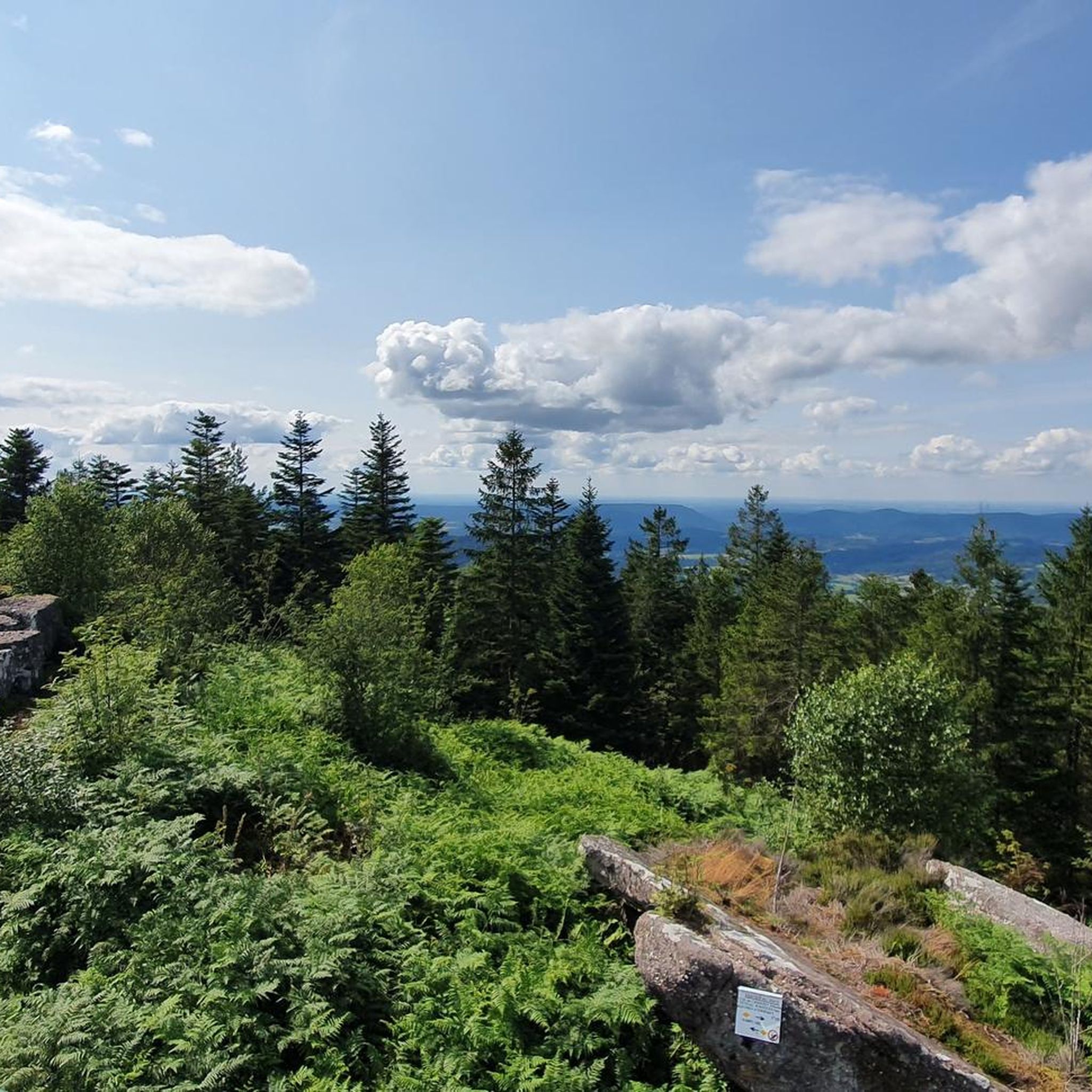
Road cycling around Le Beulay is characterized by varied terrain, including river valleys, forested hills, and mountain passes within the Vosges region. The landscape features a mix of ascents and descents, providing diverse conditions for road cyclists. Routes often traverse through rural areas and offer views of the surrounding natural environment. The region's topography supports both shorter, less demanding rides and longer, more challenging excursions.
Best road cycling routes around Le Beulay
- The most popular road cycling route is Liberty Tower – Fave Valley loop from Provenchères-sur-Fave, a 23.3 miles (37.5 km) trail that takes 1 hour 33 minutes to complete. This easy route explores the Fave Valley, offering a scenic loop.
- Another top favourite among local road cyclists is Anozel Pass – Bertrimoutier church loop from Lusse, a moderate 29.8 miles (48.0 km) path. This route includes the Anozel Pass, providing a mix of climbing and descending through the local landscape.
- Local road cyclists also love the Lac Blanc – Col de la Schlucht loop from Provenchères-sur-Fave, a 121.8 miles (196.0 km) trail leading through significant mountain passes and past Lac Blanc, often completed in about 9 hours 50 minutes.
- Road cycling around Le Beulay is defined by river valleys, forested hills, and mountain passes, with options ranging from easy loops to difficult, long-distance challenges. The network offers routes for various ability levels, from beginner road biking to advanced road bike trails.
- The routes in Le Beulay are highly rated by the komoot community with an average score of 4.1 stars from over 170 reviews. More than 1700 road cyclists have used komoot to explore Le Beulay's varied terrain.
Last updated: July 5, 2026
3.9
(28)
163
riders
49.3km
02:12
430m
430m
Moderate road ride. Good fitness required. Mostly well-paved surfaces and easy to ride.
44
riders
86.2km
04:41
1,680m
1,680m
Hard road ride. Very good fitness required. Mostly well-paved surfaces and easy to ride.

Sign up for free
17
riders
109km
06:07
2,380m
2,380m
Hard road ride. Very good fitness required. Mostly well-paved surfaces and easy to ride.
4.0
(2)
17
riders
33.6km
01:30
320m
310m
Moderate road ride. Good fitness required. Mostly well-paved surfaces and easy to ride.
4.0
(1)
14
riders
48.2km
02:02
310m
310m
Moderate road ride. Good fitness required. Mostly well-paved surfaces and easy to ride.
Get access to more routes and recommendations from other explorers.
Sign up for free
Already have an account?
Our route recommendations are based on thousands of hikes, rides, and runs completed by other people on komoot.
Start today with a free account
Your next adventure awaits.
Login or Signup


Tips from the Community


If you take the climb from Mandray village - and follow the - rusty - sign to the Col - that is different kind of cookie! 2, 9 km , averages at 11% with peaks up to 17%, and tough road conditions. Descend to Fraize is a blast!
0
0

yes up there you have a good view
2
0


Magnificent pass to climb from different slopes (Breitenbach, Steige, Vallée de la Bruche, Andlau). It is also a crossing point towards the Champ du feu, the Hohwald, the Mont Ste Odile.
0
0

Col de Mandray (694 m) is a quiet and steady climb in the Vosges, ideal for a relaxing ride or as a warm-up for more difficult cols. From Fraize you climb over 4.5 km with an average gradient of 4.2%. The road is well passable, with little traffic and beautiful views over the Meurthe valley. A hidden gem for those who love quiet, natural climbs.
11
0

As in Germany, most fountains are merely decorative and labeled "Water not suitable for drinking." It's therefore all the more pleasant to find a fountain here that even explicitly says "drinking water." One of the few fountains in the area has drinking water.
0
0
Frequently Asked Questions
How many road cycling routes are available around Le Beulay?
There are over 120 road cycling routes in the Le Beulay area, offering a wide range of options for different skill levels and preferences.
Are there easy road cycling routes suitable for beginners or families in Le Beulay?
Yes, Le Beulay offers several easy road cycling routes. For instance, the Liberty Tower – Fave Valley loop from Provenchères-sur-Fave is an easy 37.5 km trail that explores the scenic Fave Valley.
What are some challenging road cycling routes for experienced cyclists in the region?
Experienced cyclists can find demanding routes that include significant climbs. The Lac Blanc – Col de la Schlucht loop from Provenchères-sur-Fave is a difficult 196 km route traversing major mountain passes. Another challenging option is the Old Deer Road – Charbonnière Pass loop from Provenchères-sur-Fave, covering 84.8 km with substantial elevation gain.
Are there any road cycling routes that form a loop around Le Beulay?
Many routes in the Le Beulay area are designed as loops. Examples include the moderate Anozel Pass – Bertrimoutier church loop from Lusse, which is 48 km long, and the slightly longer Bertrimoutier church loop from Lusse.
What kind of scenery can I expect on road cycling routes in Le Beulay?
Road cycling around Le Beulay offers diverse scenery, including picturesque river valleys, dense forested hills, and challenging mountain passes within the Vosges region. You'll often ride through rural areas with views of the natural environment.
What are some notable viewpoints or natural attractions along the road cycling routes?
Cyclists can discover several scenic spots. Consider visiting Dry Fir Rock or La Roche Saint-Martin and View of Saint-Dié for panoramic vistas. The region also features natural monuments like Roche des Abris and the unique Liberty's tree.
Are there any historical sites or cultural landmarks to explore while cycling?
Yes, the area is rich in history. You can find sites such as the La Bure Celtic Camp, the Trail of the Hamlets Fallen for France – La Fontenelle, or the Franco-German Military Cemetery Bertrimoutier. The impressive Saint-Dié Cathedral is also nearby.
Is there a waterfall I can visit on a road cycling trip near Le Beulay?
Yes, the Molières Waterfall is an attraction in the vicinity that can be incorporated into a cycling route, offering a refreshing stop.
What is the best season for road cycling in Le Beulay?
The Vosges region, where Le Beulay is located, generally offers pleasant conditions for road cycling from spring through autumn. Summer provides warmer temperatures, while spring and autumn offer cooler weather and beautiful foliage, though some higher passes might still have snow early in the season or experience early frosts later on.
What do other road cyclists enjoy most about the routes in Le Beulay?
The road cycling routes in Le Beulay are highly rated by the komoot community, with an average score of 4.1 stars from over 170 reviews. Cyclists often praise the varied terrain, from river valleys to mountain passes, and the well-maintained network that caters to various ability levels.
Are there options for public transport to access cycling paths around Le Beulay?
While specific public transport options directly to every trailhead may vary, the region is generally accessible. It's advisable to check local bus or train schedules for connections to towns near your chosen starting points, such as Provenchères-sur-Fave or Lusse, which are common starting points for many routes.
Is parking available at the trailheads for road cycling routes?
Many towns and villages that serve as starting points for road cycling routes, like Provenchères-sur-Fave and Lusse, typically offer public parking facilities. It's recommended to check specific parking availability for your chosen trailhead before you set out.
Most popular attractions around Le Beulay

Get inspired with the komoot mobile app


Explore more
Browse the best Road cycling routes in other regions.
