The best walks and hikes around Saint-Mury-Monteymond
4.5
(1822)
20,664
hikers
14
hikes
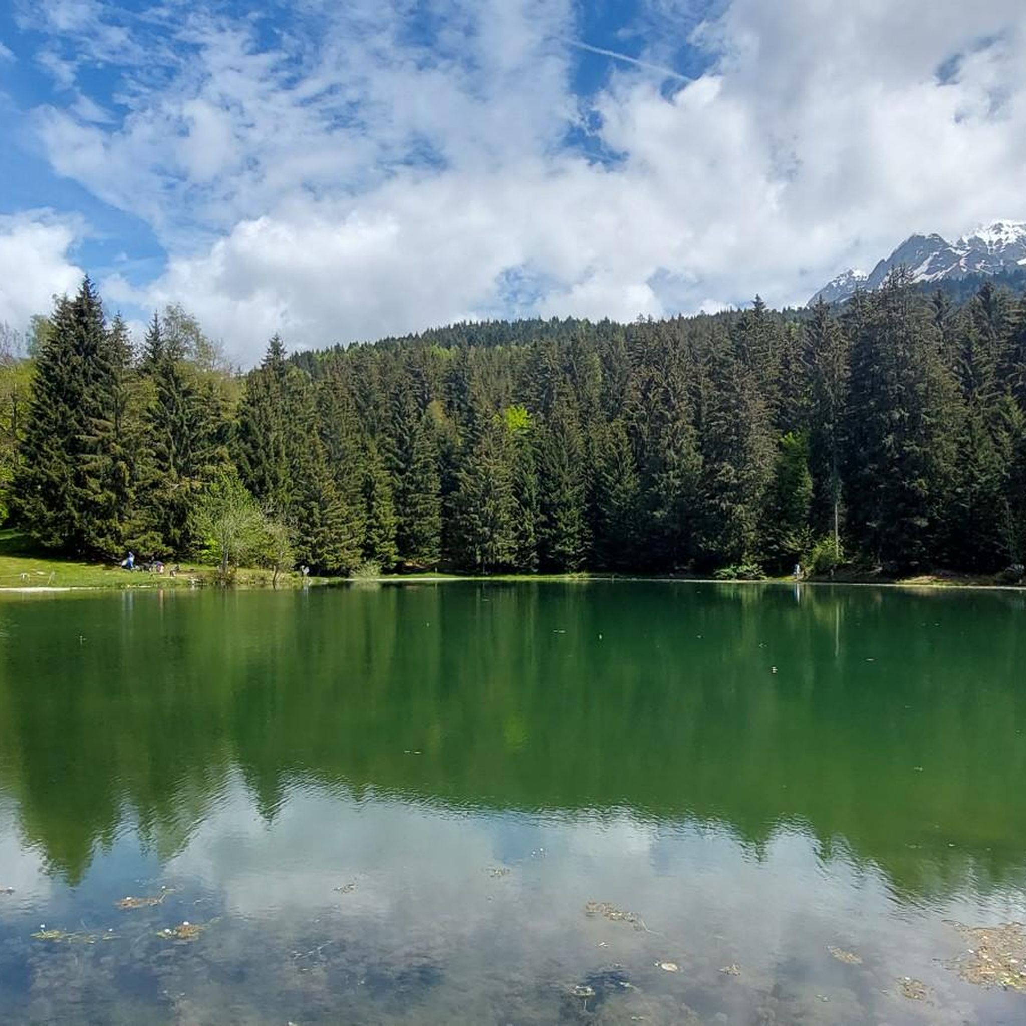
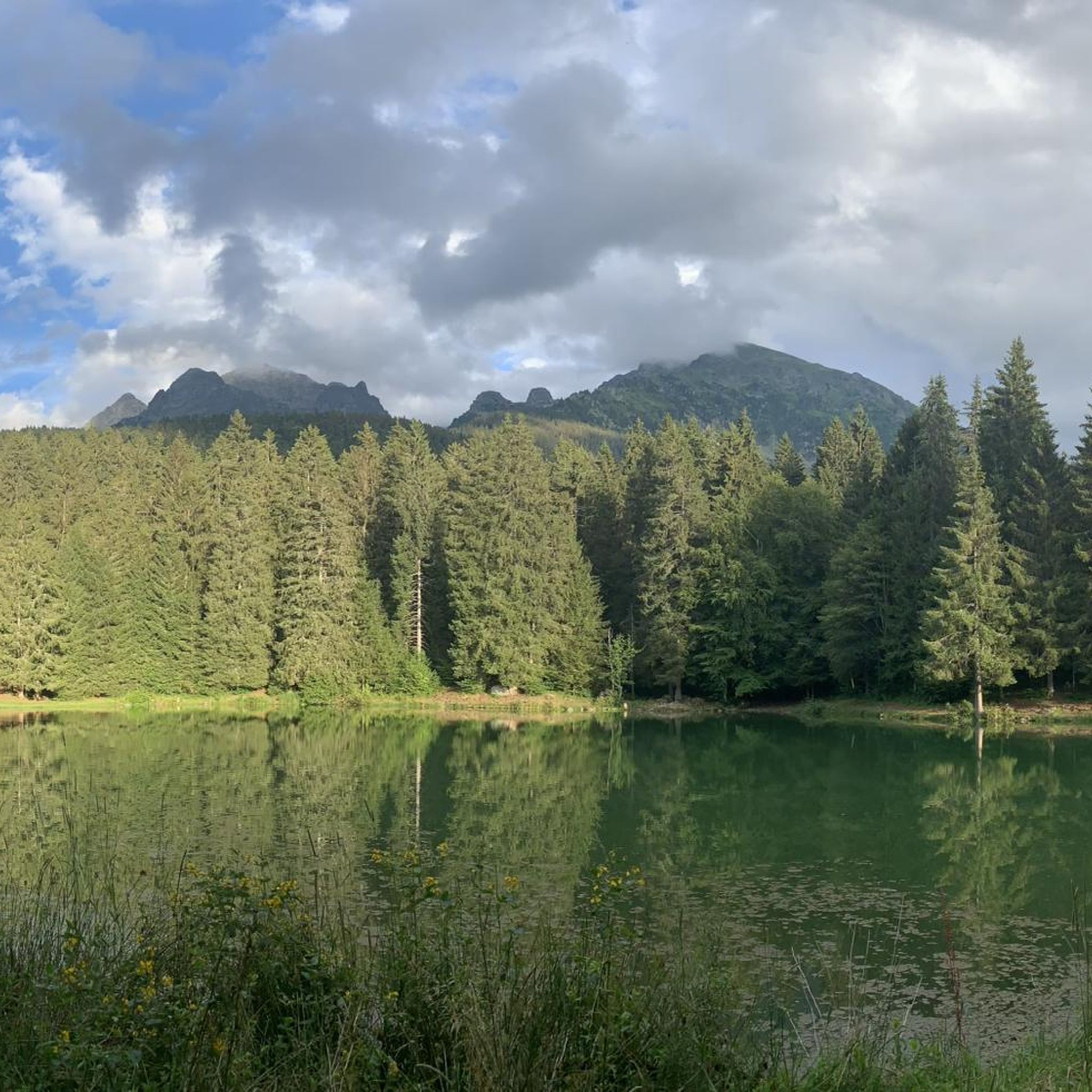
Hiking around Saint-Mury-Monteymond offers access to the majestic Belledonne massif, characterized by a progression from dense forests to alpine meadows and high-altitude mineral environments. The region features numerous mountain peaks and passes, providing panoramic views over the surrounding massifs. High-altitude lakes, such as Lac Blanc and Lac du Crozet, are prominent natural features, alongside diverse forest and rocky landscapes.
Best hiking trails in Saint-Mury-Monteymond
- The most popular hiking route is Refuge Jean Collet – White Lake loop from Parking Pré…
Last updated: July 10, 2026
4.8
(25)
407
hikers
13.2km
06:35
970m
970m
Hard hike. Very good fitness required. Mostly accessible paths. Sure-footedness required.
4.6
(7)
85
hikers
20.4km
09:51
1,430m
1,440m
Hard hike. Very good fitness required. Sure-footedness, sturdy shoes and alpine experience required.

Sign up for free
4.6
(5)
76
hikers
13.2km
07:06
1,190m
1,190m
Hard hike. Very good fitness required. Mostly accessible paths. Sure-footedness required.
4.1
(10)
154
hikers
17.7km
08:02
1,260m
1,260m
Hard hike. Very good fitness required. Sure-footedness, sturdy shoes and alpine experience required.
4.1
(7)
66
hikers
9.90km
03:49
620m
620m
Moderate hike. Good fitness required. Mostly accessible paths. Sure-footedness required.
Get access to more routes and recommendations from other explorers.
Sign up for free
Already have an account?
Our route recommendations are based on thousands of hikes, rides, and runs completed by other people on komoot.
Start today with a free account
Your next adventure awaits.
Login or Signup


Tips from the Community

To see day or night or both for the most motivated, very pretty sunset from this place! Bring a headlamp or enough battery to descend afterwards! But from this view the descent sector is not dangerous 😁
0
0
Magnificent lake! Accessible to all! As a bonus, you'll find ibexes and a few marmots if you're lucky. For the more courageous, you can climb to an altitude of 2,900 m by continuing on the path with a magnificent view if the sky is clear!
0
0


a small, invigorating step before the lake and the associated crowds
0
0


A magnificent refuge with a superb view of Grenoble and its surroundings.
1
0
Frequently Asked Questions
How many hiking trails are available in Saint-Mury-Monteymond?
Saint-Mury-Monteymond offers an extensive network of over 400 hiking trails, catering to various skill levels. You'll find everything from moderate forest walks to challenging alpine ascents within the majestic Belledonne massif.
What kind of landscapes can I expect to see while hiking in Saint-Mury-Monteymond?
The region is characterized by a remarkable progression of landscapes. You'll traverse dense forests, open into vast alpine meadows, and ascend into high-altitude mineral environments. Expect stunning mountain scenery, including panoramic views over the Chartreuse massif from various peaks and passes.
Are there any notable lakes or water features to discover on the trails?
Yes, the area is dotted with breathtaking high-altitude lakes. The turquoise Lac Blanc is particularly renowned, and you can also find Lac de Crop, Lac du Crozet, and Lac du Loup. Many trails, like the Refuge Jean Collet – White Lake loop from Parking Pré Comté, offer views of these beautiful water features.
What do other hikers enjoy most about the trails in Saint-Mury-Monteymond?
The trails in Saint-Mury-Monteymond are highly rated by the komoot community, with an average score of 4.5 stars from over 1800 reviews. Hikers often praise the diverse terrain, the stunning high-altitude lakes, and the challenging yet rewarding alpine ascents that offer magnificent panoramas.
Are there any circular hiking routes available?
Yes, many routes in Saint-Mury-Monteymond are designed as loops, allowing you to start and end at the same point. An example is the Lac du Cozet and Adjacent Lakes loop from Parking de Pré Long, which is a moderate option for exploring the lake country.
Are there any mountain refuges or huts along the hiking routes?
Yes, the region features several refuges that can serve as landmarks or resting points. The historic and welcoming Refuge Jean Collet, located at 1950m, offers plunging views over the Grésivaudan valley. Other options include Les Seiglières and Manival Forest Refuge.
What are some challenging hikes with significant elevation gain?
For experienced hikers seeking a challenge, routes like the Ravin des Excellences – Sitre Pass loop from Parking Pré Comté traverse demanding terrain with significant elevation gain, leading to rewarding mountain passes and expansive views.
Can I find trails that lead to mountain passes with panoramic views?
Absolutely. The Belledonne massif is home to numerous passes offering spectacular vistas. The Lac du Cozet and Adjacent Lakes – Sitre Pass loop from Parking de Pré Long will take you through high-altitude lake country and mountain passes, providing excellent panoramic opportunities.
Are there any less crowded hiking options in the area?
While popular routes attract many, the extensive network of over 400 trails means you can often find quieter paths, especially during off-peak hours or by exploring some of the moderate difficulty routes that venture deeper into the forests and less frequented areas of the massif. Consider exploring routes that are not explicitly highlighted as 'most popular' to find more solitude.
What is the best time of year to go hiking in Saint-Mury-Monteymond?
The best time to hike generally depends on the elevation. Lower forest trails are accessible for much of the year, while higher alpine routes, especially those leading to peaks and high-altitude lakes, are best enjoyed from late spring through early autumn (typically June to September) when snow has melted and weather conditions are more stable. Always check local weather forecasts before heading out.
Are there any unique attractions near the hiking trails?
Beyond the natural beauty, the nearby Lake Monteynard offers a unique experience with gigantic Himalayan footbridges, such as the Drac (220 meters long) and Ebron (180 meters long) footbridges, providing a distinctive combination of walking and spectacular crossings. While not directly on all hiking trails, it's a notable attraction in the wider region.
Are there any moderate difficulty hikes that are still rewarding?
Yes, there are many moderate options that offer beautiful scenery without the extreme challenge of difficult alpine ascents. For example, the Ravin des Excellences loop from Ancienne mine du Chenevrey provides a rewarding experience through varied terrain with significant elevation gain, rated as moderate.
Most popular routes around Saint-Mury-Monteymond
Most popular attractions around Saint-Mury-Monteymond

Get inspired with the komoot mobile app


Explore more
Browse the best Hikes in other regions.
