The best road cycling routes around Chamrousse
4.5
(362)
21,443
riders
53
rides
Road cycling routes around Chamrousse are situated in the Belledonne mountain range, offering varied terrain for cyclists. The region is characterized by significant elevation changes, alpine forests, and mountain passes. Road cyclists can expect routes that navigate through valleys and ascend towards higher elevations, providing a range of gradients.
Best road cycling routes around Chamrousse
- The most popular road cycling route is Col de la Morte – Col de la Morte loop from Rioupéroux, a 46.6 miles (75.1 km)…
Last updated: July 5, 2026
4.5
(2)
108
riders
75.0km
04:08
1,600m
1,600m
Hard road ride. Very good fitness required. Mostly well-paved surfaces and easy to ride.
4.3
(9)
129
riders
31.3km
01:46
680m
680m
Moderate road ride. Good fitness required. Mostly well-paved surfaces and easy to ride.

Sign up for free
4.0
(1)
56
riders
19.8km
01:13
540m
540m
Moderate road ride. Good fitness required. Mostly well-paved surfaces and easy to ride.
4.5
(11)
225
riders
58.1km
03:18
1,310m
1,310m
Hard road ride. Very good fitness required. Mostly well-paved surfaces and easy to ride.
5.0
(2)
23
riders
20.3km
01:03
370m
370m
Moderate road ride. Good fitness required. Mostly well-paved surfaces and easy to ride.
Get access to more routes and recommendations from other explorers.
Sign up for free
Already have an account?
Our route recommendations are based on thousands of hikes, rides, and runs completed by other people on komoot.
Start today with a free account
Your next adventure awaits.
Login or Signup
Popular around Chamrousse



Tips from the Community

Great climb, probably the calmest one in the area, traffic wise.
0
0
Hello, a very nice walk, beautiful viewpoints, a bit long but worth the detour
0
0

Of note in this area is the excellent community café run by the town hall, open on weekends.
0
0

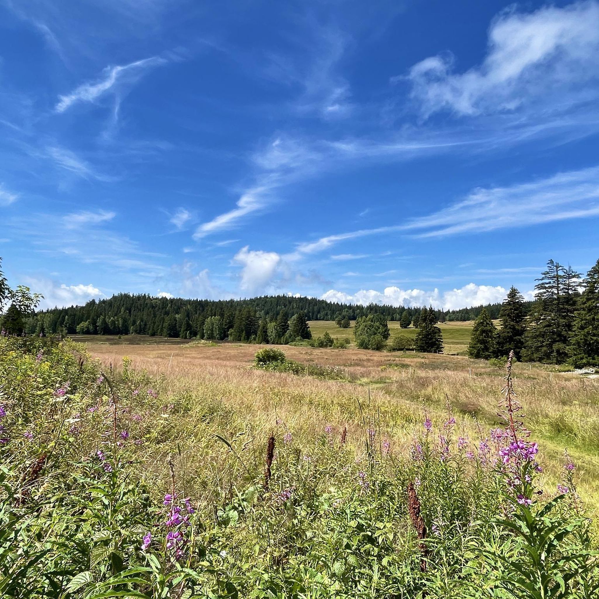
From this cross there is a splendid view of the Chartreuse massif, the Grésivaudan valley towards Grenoble and Chambéry, the Belledonne massif and, as an added bonus, there are orientation tables. Super 👌!
1
0

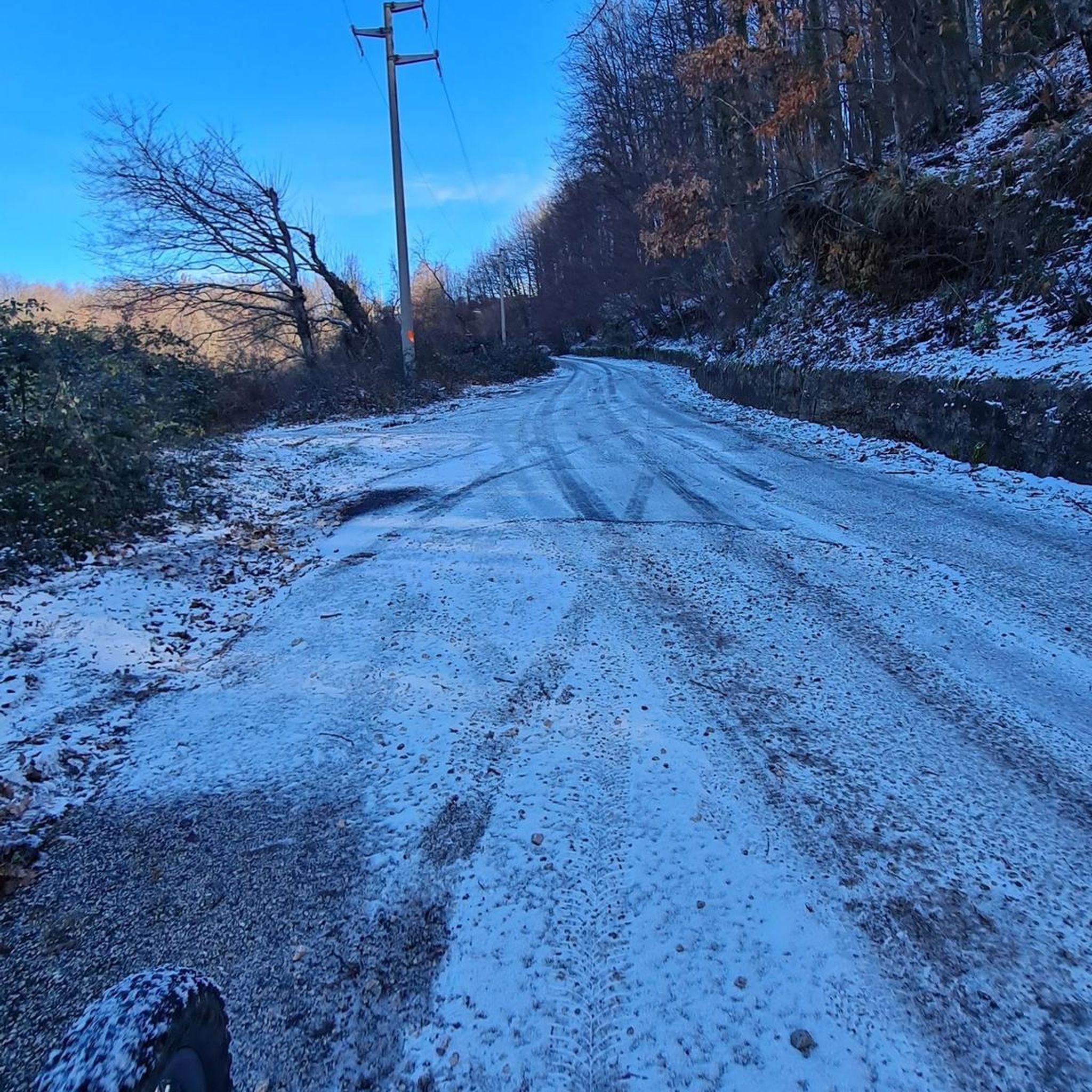
A pass of about fifteen kilometers, with a 1,000 m elevation gain. Almost always in the shade, with little traffic.
0
0

Don't go too far, the last 12% are fierce.
0
0

Dominated by its castle, this pleasant spa town is located at the foot of the Chamrousse resort.
0
0

Frequently Asked Questions
How many road cycling routes are available around Chamrousse?
Chamrousse offers a wide variety of road cycling routes, with over 50 options available. These routes cater to different skill levels, including 8 easy, 31 moderate, and 15 difficult trails.
What is the best time of year for road cycling in Chamrousse?
The prime season for road cycling in Chamrousse typically runs from late spring through early autumn (May to October). During these months, the mountain passes are generally clear of snow, and the weather is most favorable for cycling, offering pleasant temperatures and stunning alpine scenery.
Are there easy road cycling routes suitable for beginners in Chamrousse?
Yes, Chamrousse has 8 easy road cycling routes perfect for beginners or those looking for a more relaxed ride. These routes generally feature less elevation gain and shorter distances. For example, the Route de Venon loop from Saint-Martin-d'Uriage is a moderate option that can be enjoyed by many.
Where can I find challenging road bike climbs around Chamrousse?
Chamrousse is known for its significant elevation changes, offering 15 difficult routes for experienced road cyclists seeking a challenge. These routes often include demanding ascents through mountain landscapes. A notable challenging route is the Col de la Morte – Col de la Morte loop from Rioupéroux, which features over 1600 meters of climbing.
Are there loop road cycling routes in Chamrousse?
Yes, many road cycling routes around Chamrousse are designed as loops, allowing you to start and finish at the same point. Examples include the La Pérérée – Croix de Pinet loop from Vaulnaveys-le-Haut and the Luitel Pass loop from Saint-Martin-d'Uriage, both offering a mix of ascents and descents through varied terrain.
What scenic viewpoints can I expect on road cycling routes in Chamrousse?
Road cycling routes in Chamrousse often lead to breathtaking scenic viewpoints across the Belledonne mountain range. You can expect panoramic vistas from various points, including the Croix de Pinet, which offers expansive views. Many routes also traverse alpine forests and open valleys, providing picturesque backdrops.
What natural attractions can be seen along road cycling routes in Chamrousse?
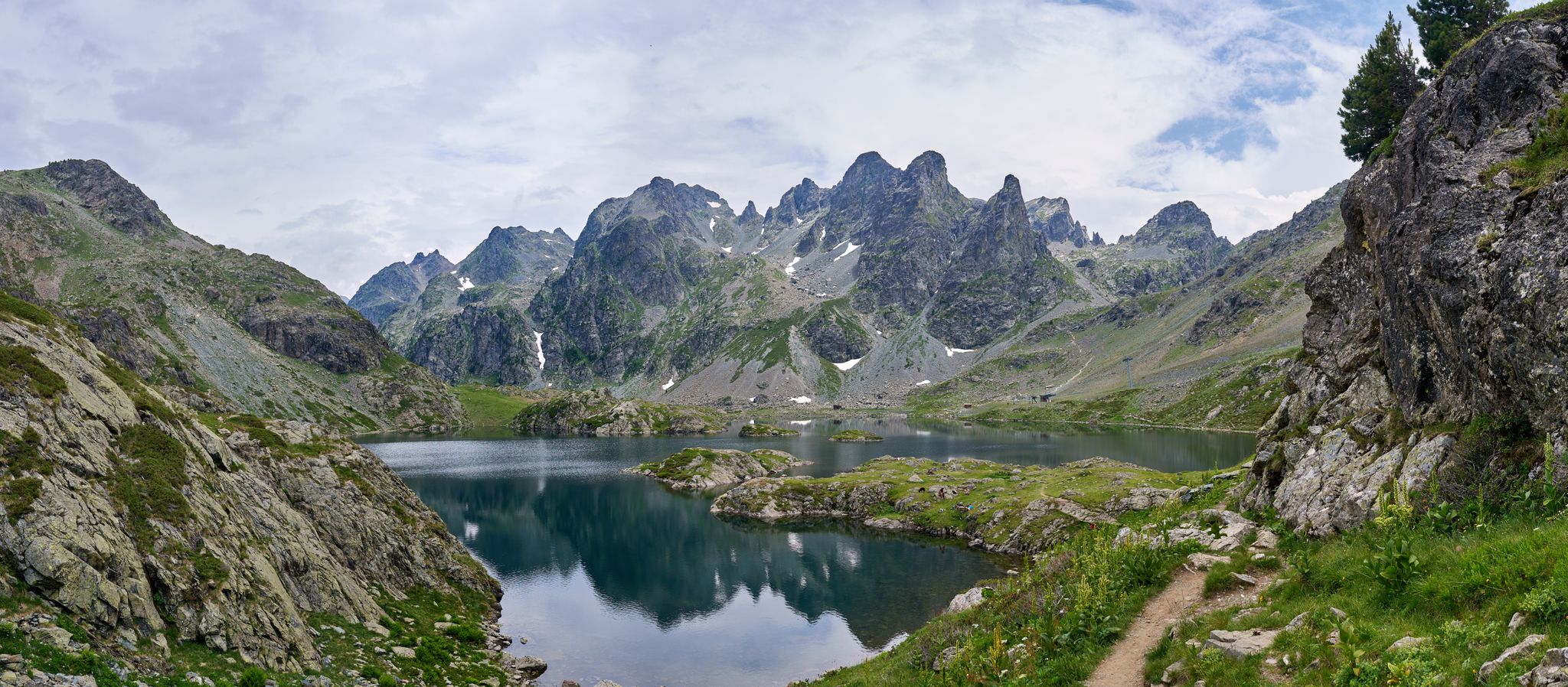
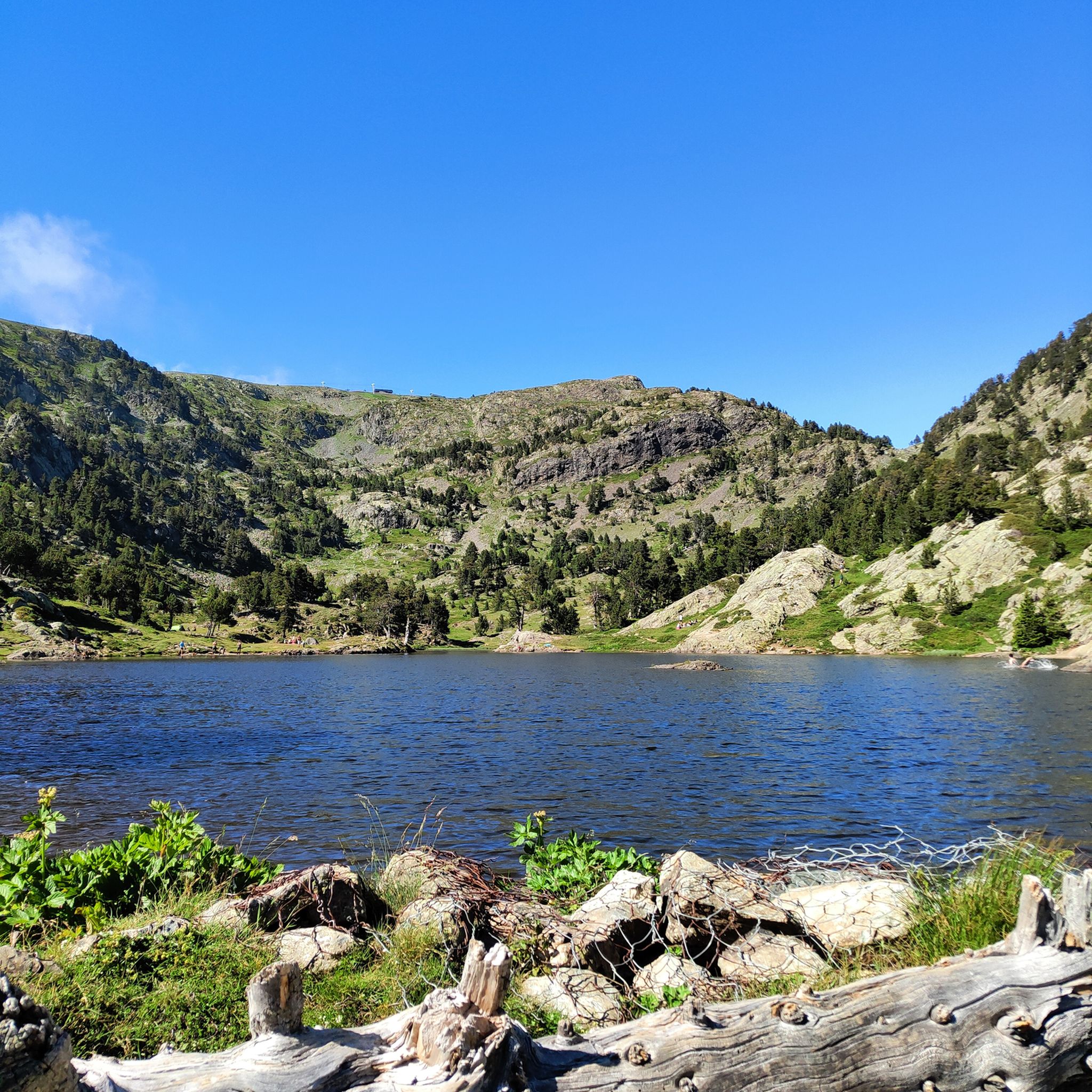
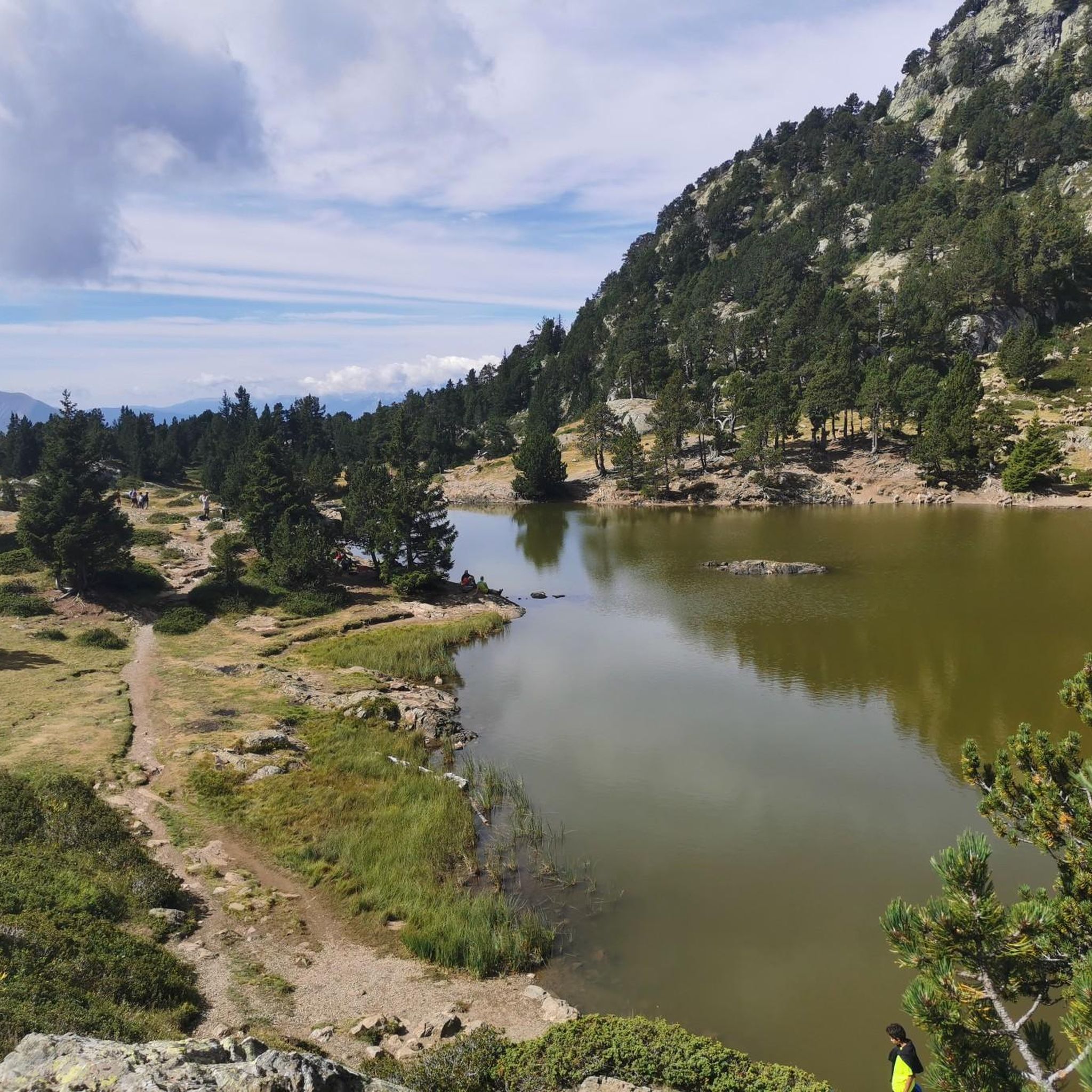
The Chamrousse region is rich in natural beauty. Cyclists can encounter several stunning lakes, such as Lake Achard, Lake Crozet, and Pourettes Lake. The routes also offer views of the majestic La Croix de Chamrousse Summit and the serene Col du Luitel Pond.
Are there any mountain passes to explore by road bike in Chamrousse?
Yes, Chamrousse is situated in the Belledonne mountain range, which is characterized by numerous mountain passes ideal for road cycling. You can challenge yourself on passes like the Four Lords Pass, Lessines Pass, and the iconic Col de Chamrousse, all offering significant climbs and rewarding views.
How can I access road cycling routes in Chamrousse using public transport?
Chamrousse is generally accessible by public transport, particularly from Grenoble. Regular bus services connect Grenoble to Chamrousse, especially during peak seasons. It's advisable to check local bus schedules for specific routes and times that align with your cycling plans, as services may vary depending on the time of year.
Is parking available near the road cycling routes in Chamrousse?
Yes, parking is generally available in and around the towns and villages that serve as starting points for road cycling routes in Chamrousse, such as Rioupéroux, Vaulnaveys-le-Haut, and Saint-Martin-d'Uriage. Look for designated parking areas in these locations, though availability might vary during peak tourist seasons.
What do other road cyclists say about the routes in Chamrousse?
The road cycling routes in Chamrousse are highly regarded by the komoot community, holding an impressive average rating of 4.4 stars from over 300 reviews. Cyclists frequently praise the region's varied terrain, the challenging climbs, and the stunning alpine scenery. Over 26,000 road cyclists have already used komoot to explore this area.
Most popular routes around Chamrousse
Most popular attractions around Chamrousse

Get inspired with the komoot mobile app


Explore more
Browse the best Road cycling routes in other regions.
