The best walks and hikes around Scharrachbergheim-Irmstett
4.5
(840)
5,025
hikers
427
hikes
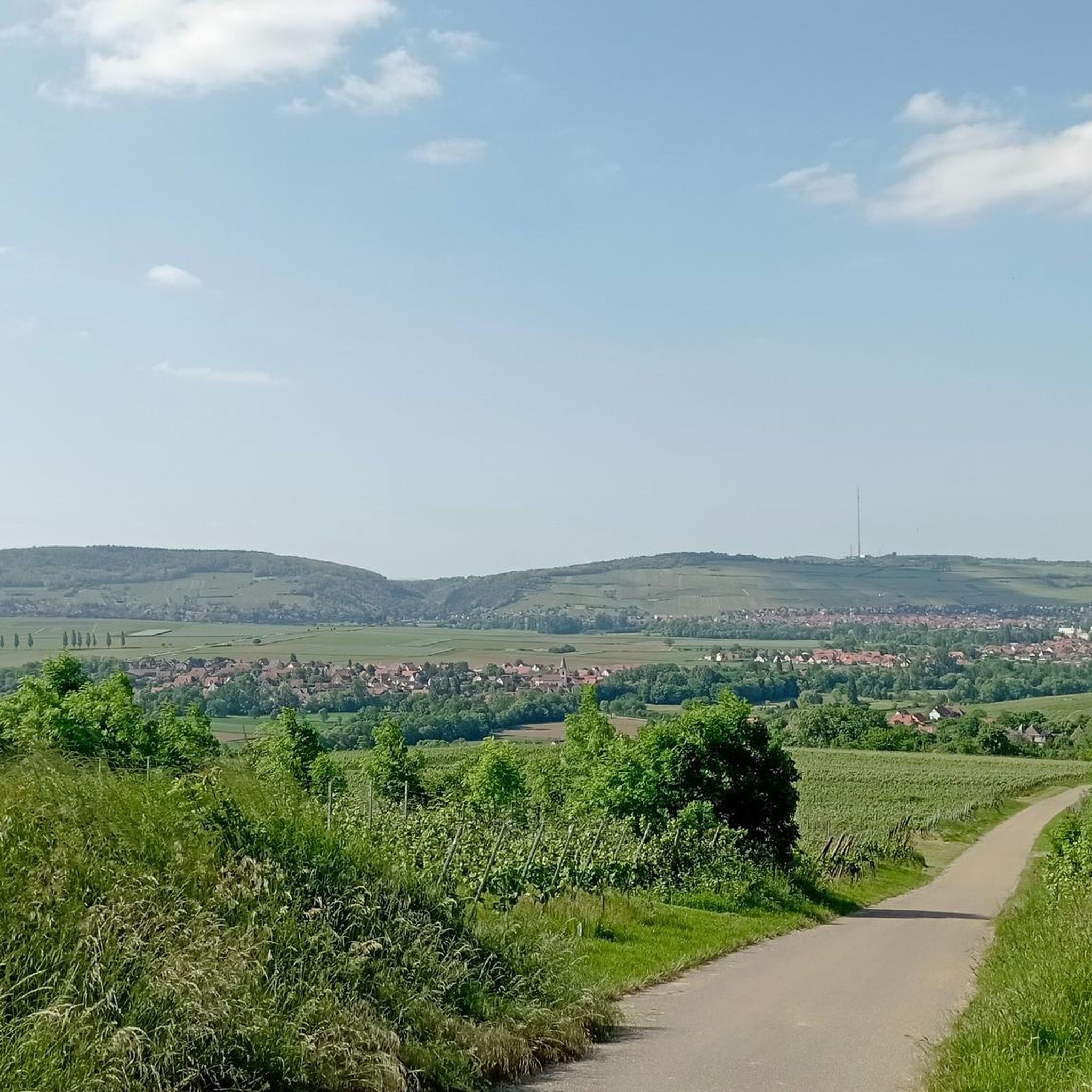
Hiking around Scharrachbergheim-Irmstett offers diverse terrain in France's Bas-Rhin department. The landscape is characterized by extensive vineyards, earning it the designation "Porte du Vignoble," and is situated between the Amberg and Scharrachberg hills, marking the gateway to the lower Vosges foothills. Prominent features include Mont Scharrach, rising to 316 meters, and the historic Canal de la Bruche, which provides flat paths alongside serene waters. Surrounding forests and varied hills offer additional exploration opportunities.
Best hiking trails around Scharrachbergheim-Irmstett
- The most…
Last updated: September 1, 2026
4.7
(17)
151
hikers
7.73km
02:13
190m
190m
Moderate hike. Good fitness required. Easily-accessible paths. Suitable for all skill levels.
4.7
(11)
59
hikers
7.50km
02:04
130m
130m
Moderate hike. Good fitness required. Easily-accessible paths. Suitable for all skill levels.

Sign up for free
4.6
(9)
38
hikers
9.94km
02:53
270m
270m
Moderate hike. Good fitness required. Easily-accessible paths. Suitable for all skill levels.
4.3
(3)
28
hikers
18.2km
05:10
410m
400m
Hard hike. Very good fitness required. Easily-accessible paths. Suitable for all skill levels.
5.0
(1)
16
hikers
11.2km
03:05
190m
190m
Moderate hike. Good fitness required. Easily-accessible paths. Suitable for all skill levels.
Get access to more routes and recommendations from other explorers.
Sign up for free
Already have an account?
Our route recommendations are based on thousands of hikes, rides, and runs completed by other people on komoot.
Start today with a free account
Your next adventure awaits.
Login or Signup
Tips from the Community

A special type of cellar security
0
0

The Sacred Heart is a statue located on the Wolxheim wine trail. At the foot of this statue is the Grand Cru Altenberg vineyard; in good weather you can also contemplate Strasbourg Cathedral, located about twenty kilometers away. This statue was erected in 1912 on the limestone cliff of the Horn. On the base are engraved Christ's words of peace at a time when only war was spoken of. It is the symbol of the peace desired by the population and is deliberately turned towards the Mutzig Fort. The statue was inaugurated on July 27, 1912. Beautiful panoramic view.
0
0

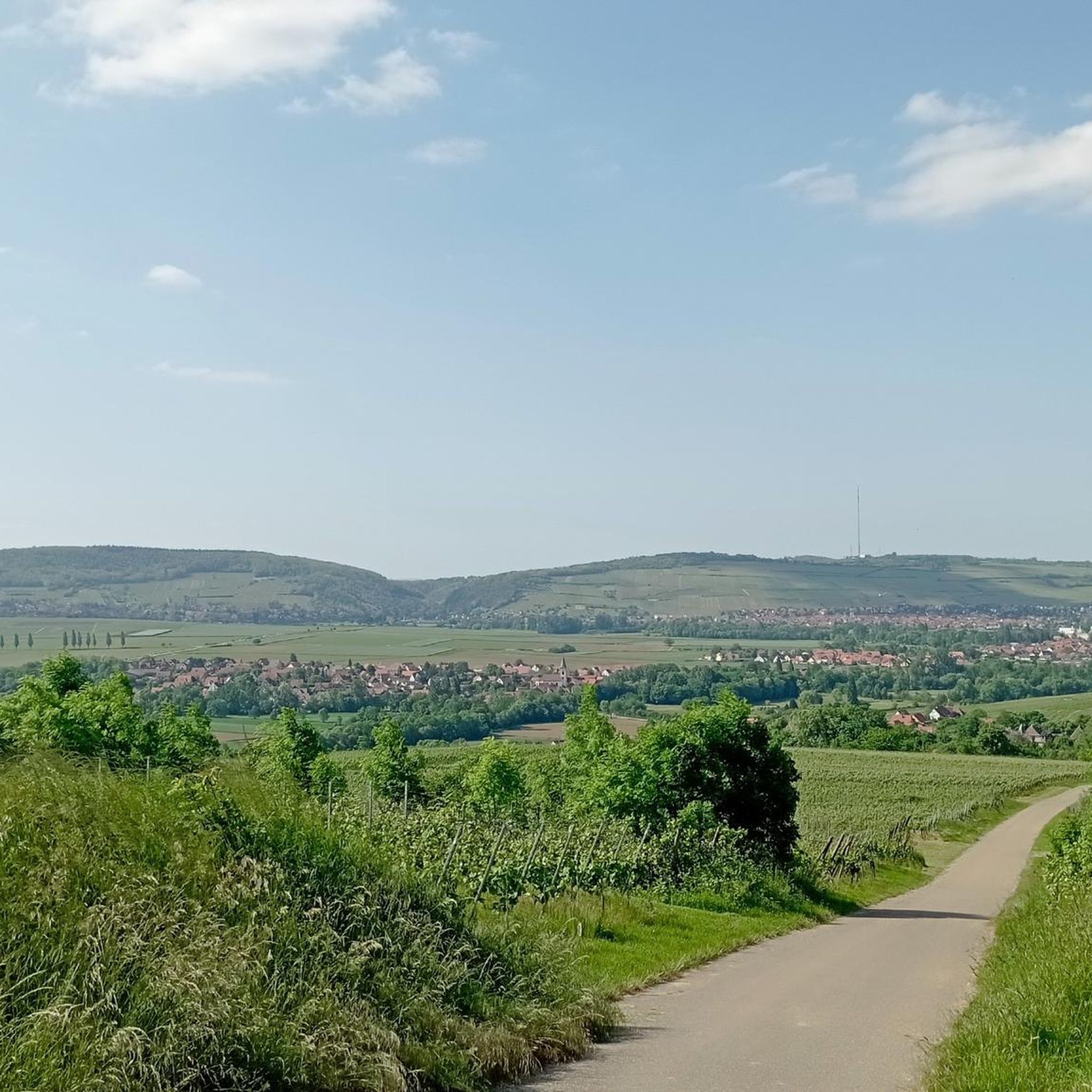
With its 316 meters high, the Scharrachberg is an emblematic promontory of the hills under the Vosges located west of Strasbourg. Both wooded and open in places, it offers beautiful views of the surroundings in a pretty wooded setting.
1
0
This hill provides a nice vantage point from which to observe the whole region at 360 degrees. You can see, among other things, Strasbourg and Mont Saint-Odile. A beautiful statue of the Sacred Heart was installed there in 1912. As war approached, the inhabitants of Wolxheim hoped to avoid battles.
1
0

magnificent view
0
0

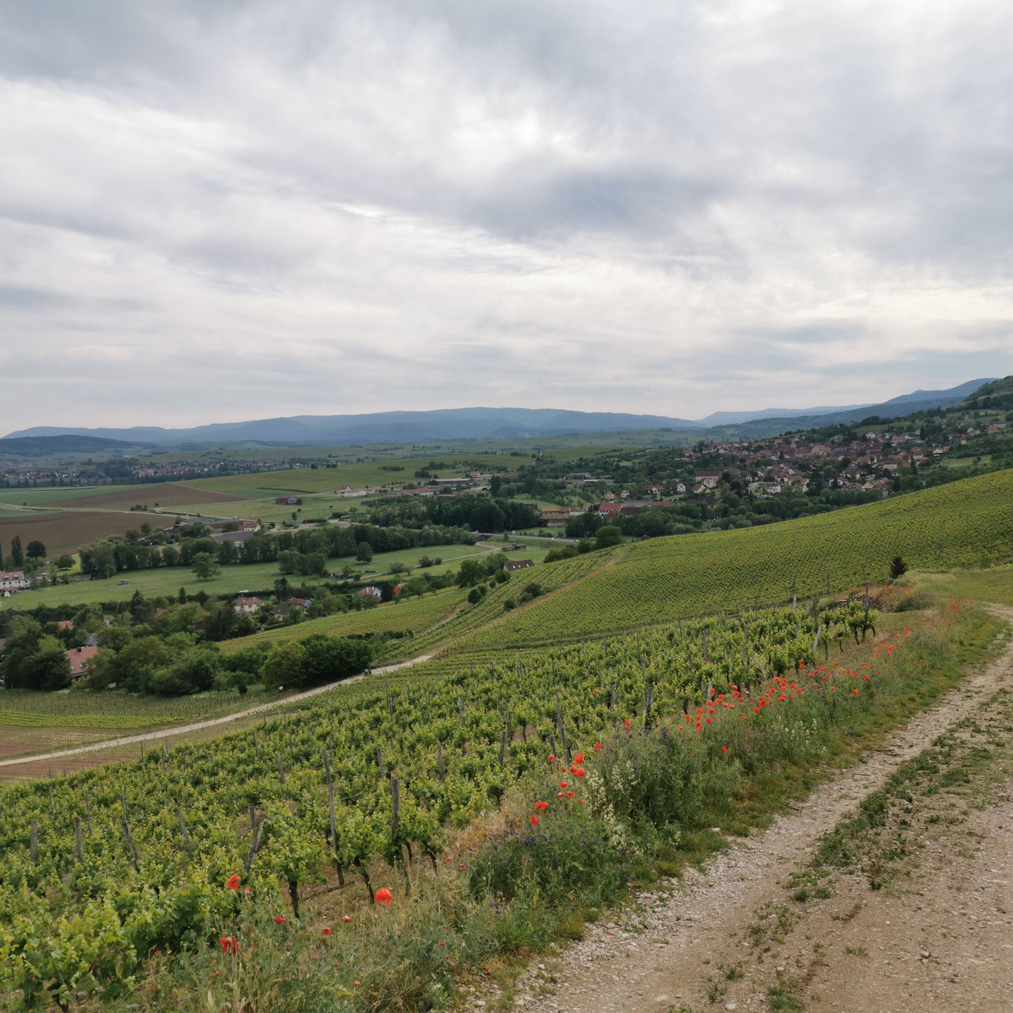
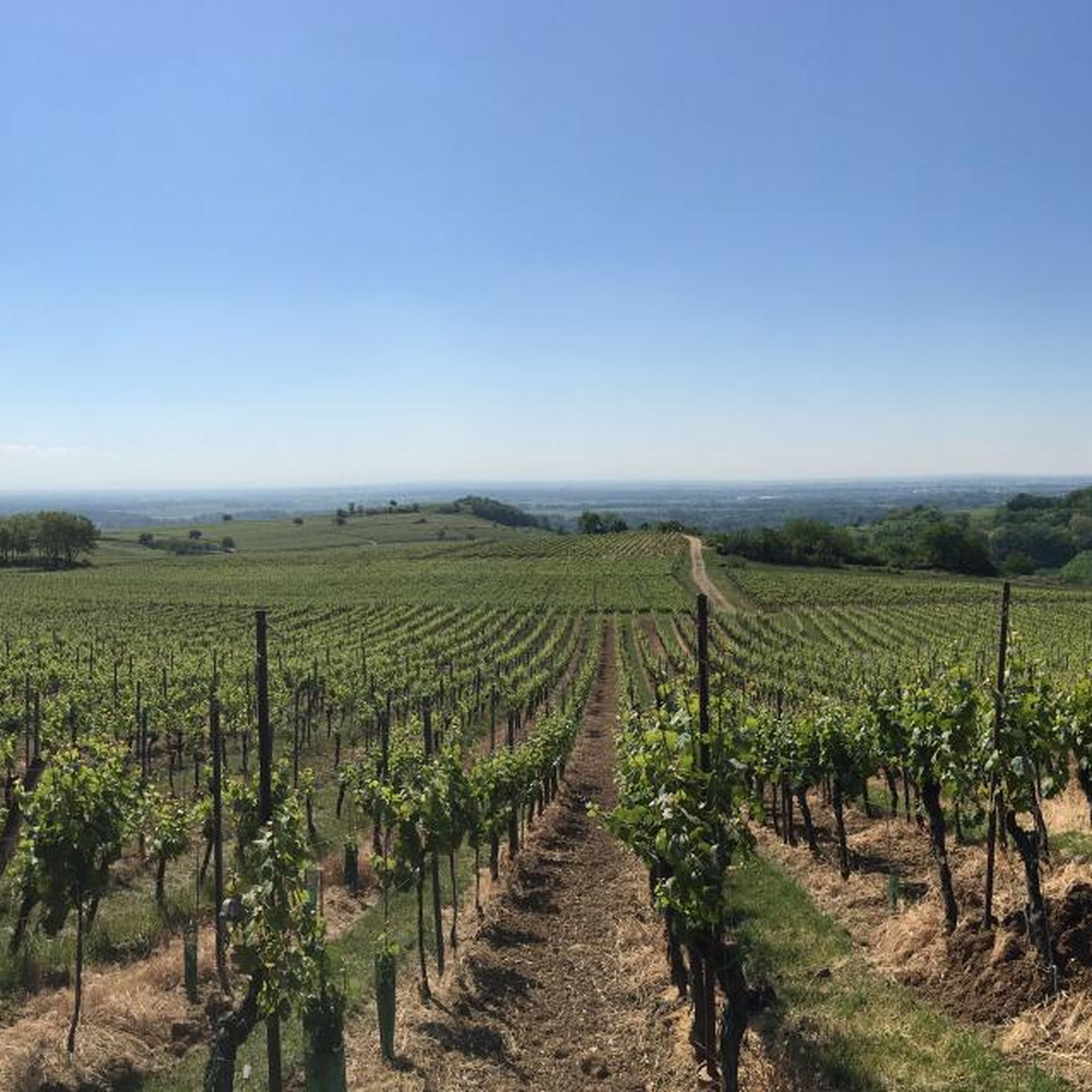
Wooded summit which in places offers pretty views over the vineyard and the nearby Vosges. Preserved dry hills where orchids and pasque anemones bloom in spring.
2
0

Magnificent view over the Alsace plain and the first Vosges foothills. Beautiful trails very accessible by mountain bike
0
0
Frequently Asked Questions
How many hiking trails are available around Scharrachbergheim-Irmstett?
There are over 10 hiking trails in the Scharrachbergheim-Irmstett area, offering a diverse range of experiences. These include routes through vineyards, up hills, and alongside the historic Canal de la Bruche.
Are there easy hiking options suitable for beginners or casual walkers?
Yes, the region offers 6 easy hiking routes. For a gentle experience, consider paths along the Canal de la Bruche cycle path, which provides flat, scenic walks ideal for families. One such route is the Scharrachberg Hill – Église Saint-Jean-Baptiste loop from Scharrachbergheim-Irmstett, which is rated easy and takes about 2 hours.
What kind of views can I expect on the hiking trails?
The trails offer a variety of picturesque views. From Mont Scharrach, you can enjoy panoramic vistas stretching from the Vosges mountains to the Black Forest. Many routes also wind through extensive vineyards, providing classic Alsace Wine Route scenery, with some even offering distant glimpses of Strasbourg Cathedral.
Are there any circular hiking routes in Scharrachbergheim-Irmstett?
Yes, many of the trails are circular, allowing you to start and end in the same location. A popular moderate circular route is the Scharrachberg Hill loop from Scharrachbergheim-Irmstett, which takes about 2 hours to complete and offers views over the vineyards.
What are some interesting landmarks or attractions to see while hiking?
While hiking, you can discover local architecture, including beautiful half-timbered houses and historical churches. The Bruche Canal itself is a historical feature, with renovated lock houses. You might also encounter the Protestant church with 11th-century remains or the castle built between the 15th and 19th centuries. For a longer exploration, the Église Saint-Jean-Baptiste loop from Scharrachbergheim-Irmstett passes by some of these cultural highlights.
Is Scharrachbergheim-Irmstett suitable for family hikes?
Absolutely. The serene paths along the Canal de la Bruche are particularly well-suited for family outings, offering flat terrain and interesting buildings in the villages it crosses. There are also several easy-rated trails that are manageable for children.
What is the best time of year to go hiking in the vineyards?
The vineyards are beautiful throughout the warmer months. Spring brings lush greenery and wildflowers, while autumn offers stunning golden hues as the leaves change and harvest season begins. Summer is also popular, but be prepared for warmer temperatures. The region's designation as "Porte du Vignoble" ensures a scenic experience almost year-round.
Are there any trails that combine hill climbing with waterside paths?
Yes, for a varied experience, consider the Colline Horn – Bruche Canal loop from Scharrachbergheim-Irmstett. This moderate 8.1-mile (13.1 km) trail leads through hills, offering elevated perspectives, and then continues alongside the historic Canal de la Bruche, providing a mix of terrain and scenery.
What do other hikers enjoy most about hiking in Scharrachbergheim-Irmstett?
The area is highly rated by the komoot community, with an average score of 4.5 stars from over 600 reviews. Reviewers often praise the diverse terrain, from vineyard-clad hills to tranquil canal paths, and the panoramic views from Mont Scharrach. The well-maintained network of trails suitable for various abilities is also frequently highlighted.
Are there any longer, more challenging routes for experienced hikers?
While there are no routes classified as 'difficult' in the immediate area, some moderate trails offer longer distances and more elevation gain. The Colline Horn – Scharrachberg Hill loop from Scharrachbergheim-Irmstett is a moderate 6.1-mile (9.9 km) path that connects two prominent hills, providing varied elevation and panoramic vistas, taking over 2.5 hours to complete.
Is parking available near the trailheads?
Parking is generally available in and around Scharrachbergheim-Irmstett, particularly in the village centers or designated areas near popular starting points for trails. Specific parking information for individual routes can often be found on komoot tour pages or local tourism websites like mossig-vignoble-tourisme.fr.
Can I reach the hiking trails using public transport?
While specific public transport connections directly to every trailhead might vary, Scharrachbergheim-Irmstett is part of the Bas-Rhin department, which has regional bus services. It's advisable to check local bus schedules for connections to the village, from where many trails are accessible on foot. For detailed planning, consult regional transport providers.
Most popular routes around Scharrachbergheim-Irmstett
Most popular attractions around Scharrachbergheim-Irmstett

Get inspired with the komoot mobile app


Explore more
Browse the best Hikes in other regions.
