The best road cycling routes around Barnave
4.6
(246)
4,801
riders
71
rides
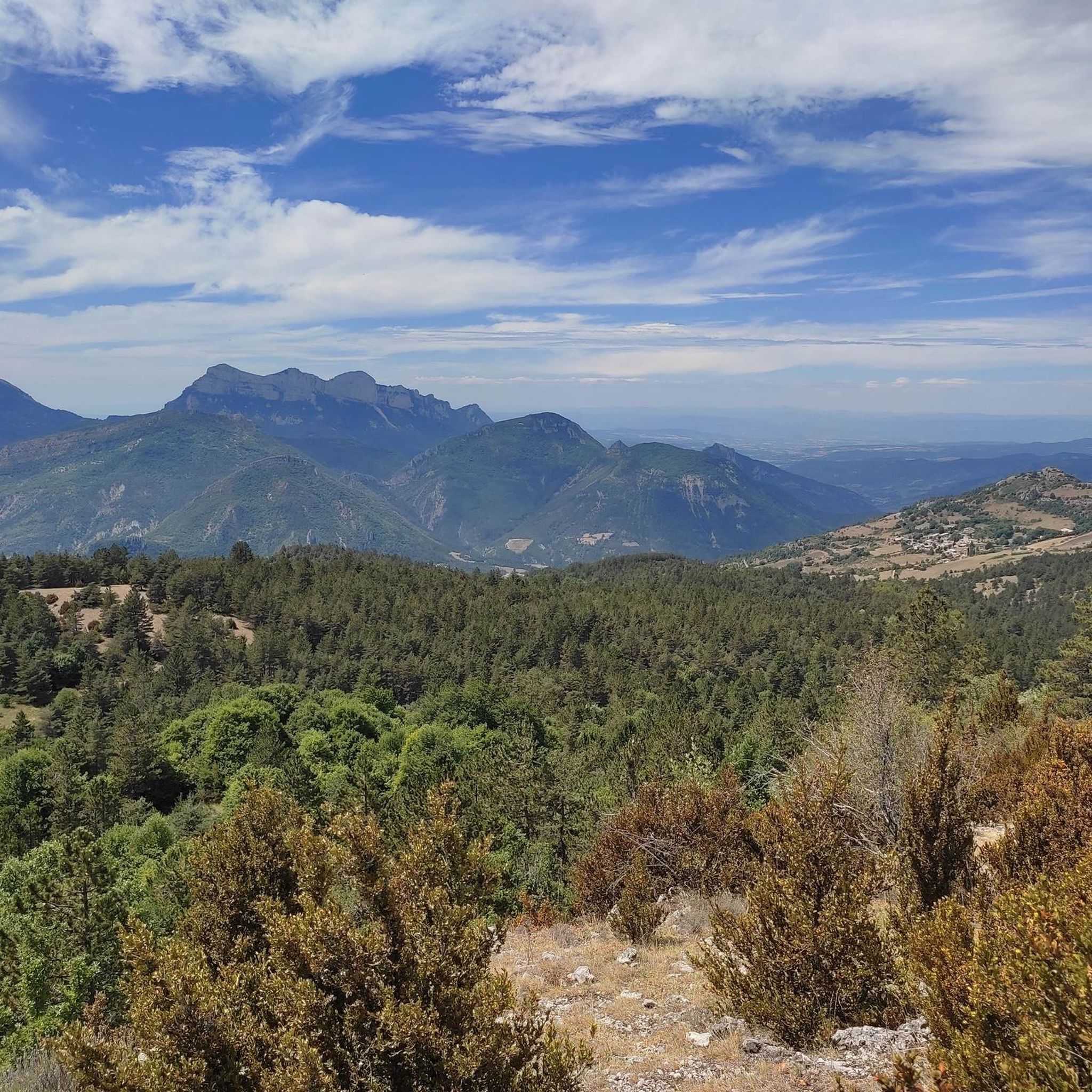
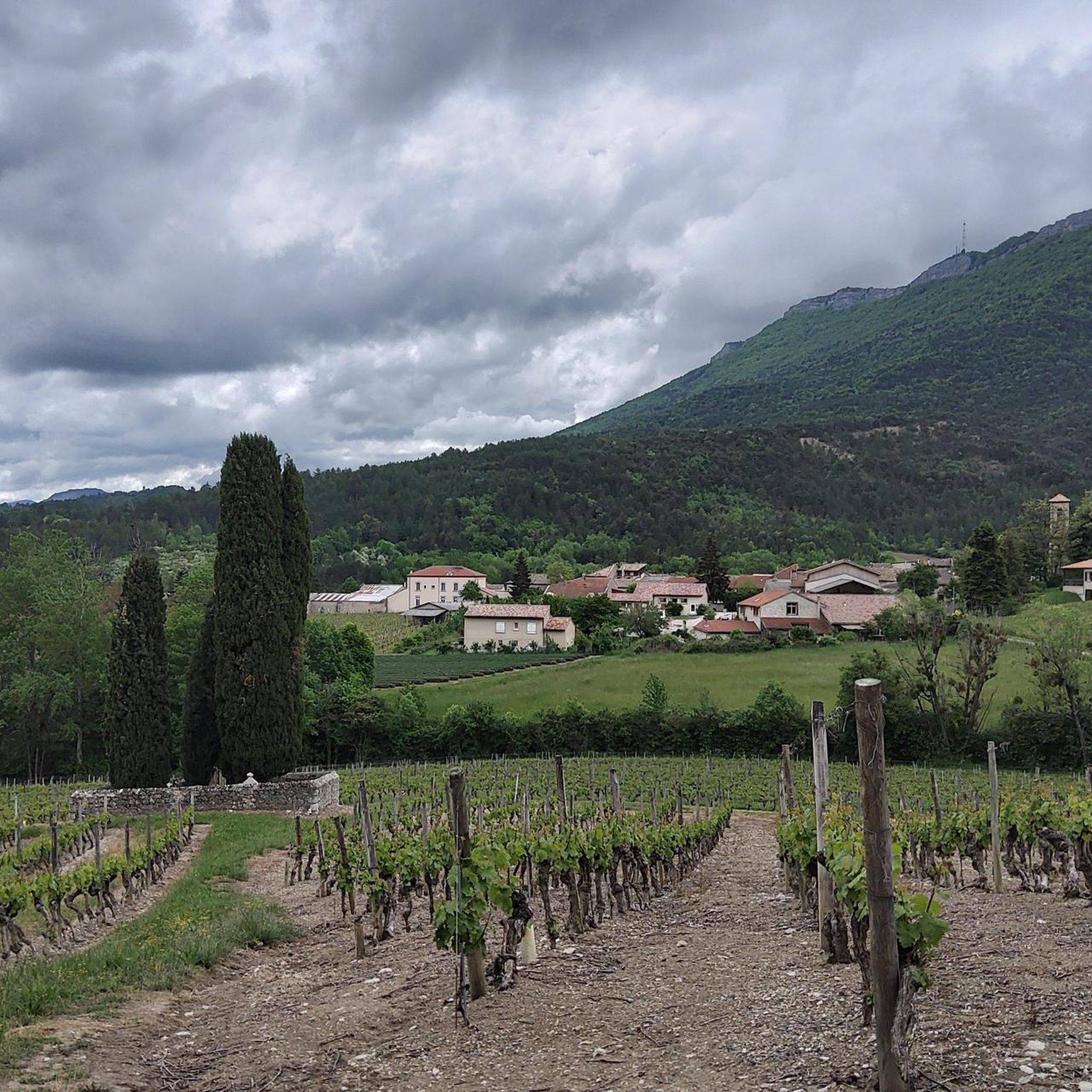
Road cycling routes around Barnave are located in the Drôme department of France, within the Diois region, which presents a blend of mountainous landscapes and Provençal characteristics. The terrain features dramatic Vercors cliffs, the Dôme du Glandasse, and hillsides adorned with vineyards and lavender fields. Cyclists encounter quiet mountain roads and varied landscapes, from forests to riverbanks, with the Drôme River adding to the scenic environment.
Best road cycling routes around Barnave
- The most popular road cycling route is Col de Pennes – Pennes Pass loop from Saint-Roman, a 62.7 miles (100.9 km) trail that takes 5 hours 24 minutes to complete. This difficult route includes a significant climb over Col de Pennes, offering panoramic views.
- Another top favourite among local road cyclists is Downhill from Col de de Pennes – Col de Pennes loop from Saint-Roman, a difficult 35.8 miles (57.6 km) path. This route features descents from the Col de Pennes, traversing mountainous landscapes.
- Local road cyclists also love the Die – The town center loop from Saint-Roman, a 19.4 miles (31.3 km) trail leading through the town center of Die, often completed in about 1 hour 54 minutes.
- Road cycling around Barnave is defined by mountainous landscapes, Vercors cliffs, and quiet mountain roads. The network offers options for different ability levels, from easy loops through villages to challenging climbs over passes.
- The routes in Barnave are highly rated by the komoot community with an average score of 4.6 stars from over 160 reviews. More than 3900 road cyclists have used komoot to explore Barnave's varied terrain.
Last updated: October 18, 2026
5.0
(2)
178
riders
101km
05:24
1,990m
1,990m
Hard road ride. Very good fitness required. Mostly well-paved surfaces and easy to ride.
4.9
(8)
271
riders
64.1km
03:30
1,340m
1,340m
Hard road ride. Very good fitness required. Mostly well-paved surfaces and easy to ride.

4.2
(5)
98
riders
60.2km
02:48
770m
770m
Moderate road ride. Good fitness required. Mostly well-paved surfaces and easy to ride.
3.0
(2)
171
riders
83.5km
04:29
1,660m
1,660m
Hard road ride. Very good fitness required. Mostly well-paved surfaces and easy to ride.
4.8
(8)
59
riders
25.3km
01:35
730m
730m
Moderate road ride. Good fitness required. Mostly well-paved surfaces and easy to ride.
Get access to more routes and recommendations from other explorers.
Already have an account?
Our route recommendations are based on thousands of hikes, rides, and runs completed by other people on komoot.
Start today with a free account
Your next adventure awaits.
Tips from the Community

The Col de Menée (1,457 m) is one of the most fascinating and scenic alpine passes in the Auvergne-Rhône-Alpes region, famous for being a natural and geographical border between the Vercors massif (Trièves) and Diois.
8
0
The Col de Menée (1,402 m) is one of the most fascinating and scenic passes straddling the Drôme and Isère, right on the border of the Vercors Regional Natural Park.
9
0
Col de Menée (1,402 m) is one of the most fascinating and scenic passes straddling the Drôme and Isère, right on the border of the Regional Natural Park of Vercors.
8
0
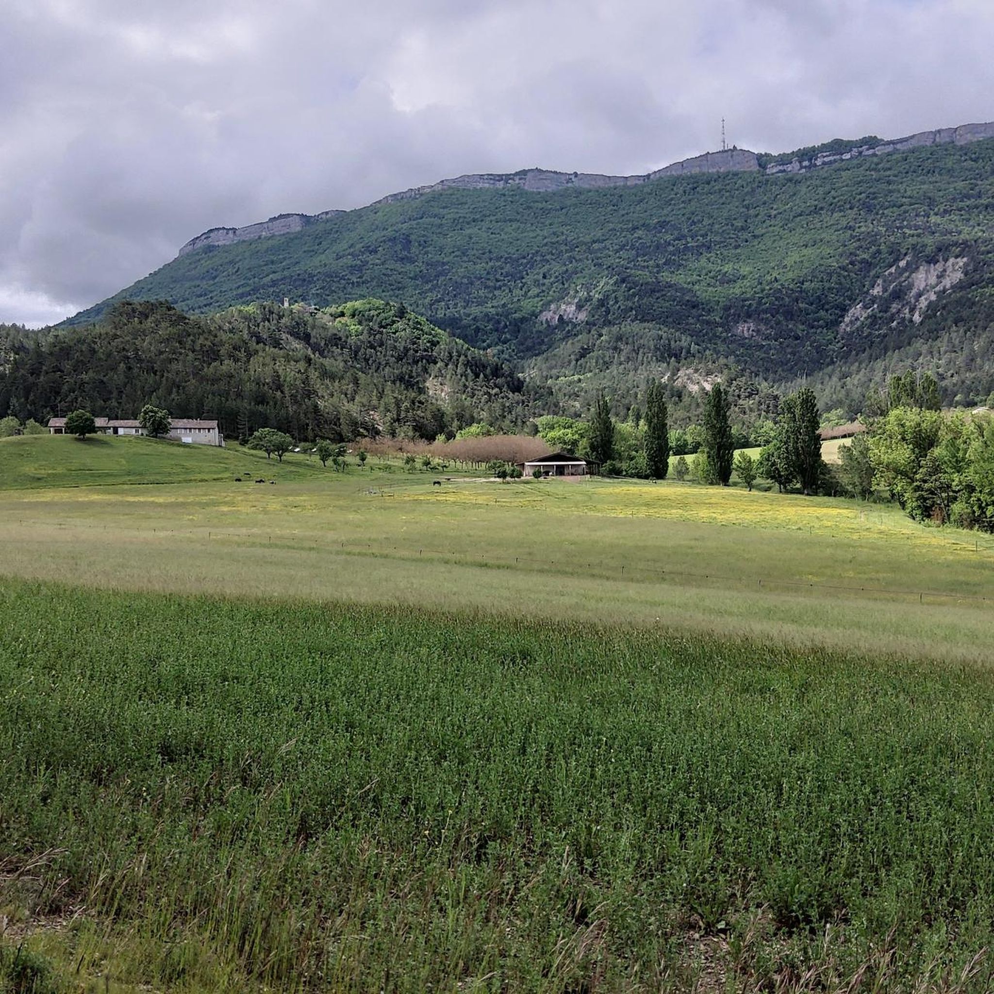
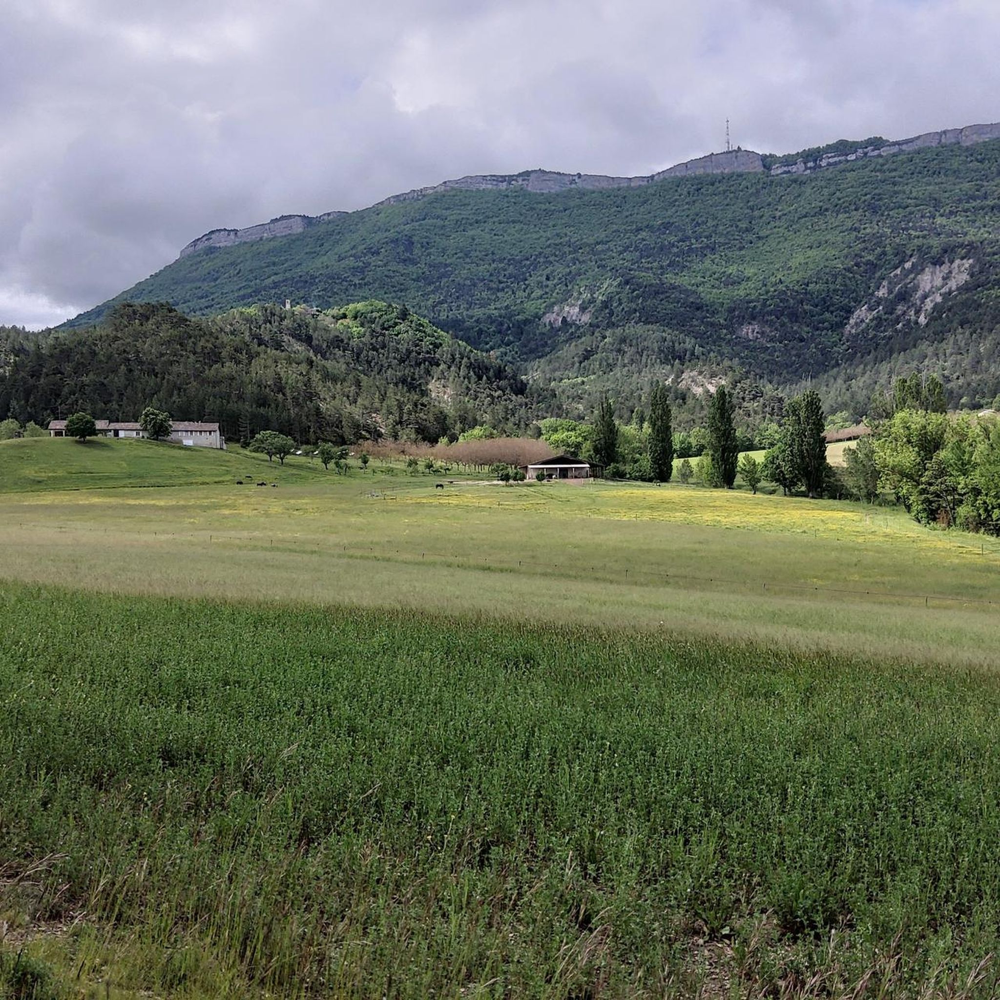
The Rocher de Combau is one of the most iconic and spectacular rock formations in the southern part of the Vercors Regional Natural Park, located in the Drôme department, France. This imposing limestone cliff overlooks the Vallon de Combau of the same name, offering a typical landscape of the Vercors high plateaus (Hauts Plateaux), characterized by immense high-altitude pastures that clash with dizzying vertical walls.
9
0
As you climb, the view opens up to the majestic Vercors massif and the surrounding rock faces.
9
0
Col de Menée (1,457 m) is a mountain pass of rare beauty, serving as a geographical and climatic border between the regions of Trièves (more alpine and green) and Diois (with its first Provençal influences). Less busy than other nearby passes, it is a much-loved destination for road cyclists and cycle tourists due to the regularity of its gradients and the variety of landscapes.
8
0
Asphalt in perfect condition.
11
0
Spectacular passage through the rocks.
11
0
Frequently Asked Questions
How many road cycling routes are available around Barnave?
Barnave and its surroundings offer a wide selection of road cycling routes. There are over 60 routes recorded on komoot, catering to various skill levels. This includes 18 easy routes, 28 moderate routes, and 17 difficult routes, ensuring options for every cyclist.
What kind of terrain can I expect on road cycling routes near Barnave?
The terrain around Barnave is diverse, blending mountainous landscapes with Provençal characteristics. You'll encounter quiet mountain roads, dramatic Vercors cliffs, and the Dôme du Glandasse. Routes traverse varied scenery, from forests of pine and hardwoods to wild riverbanks, vineyards, and lavender fields, offering constantly changing views.
Are there challenging climbs and passes for experienced road cyclists?
Yes, the region is renowned for its challenging climbs and scenic passes. The Drôme department boasts 88 passes for 'cyclo-climbers'. Notable passes accessible from Barnave include Col de Pennes (1,040 m), Col de la Chaudière (1,047 m), Col Miscon (1,022 m), Col du Fays (1,052 m), Col de Rousset (1,249 m), and Col de la Bataille (1,313 m). Routes like Col de Pennes – Pennes Pass loop from Saint-Roman feature significant ascents.
What natural features and landmarks can I see along the road cycling routes?
Road cycling routes around Barnave offer numerous natural features and landmarks. You can cycle past the impressive Col de Pennes, explore the unique Claps Rock Chaos, or enjoy the scenic Saut de la Drôme and the Claps. The Gorges des Gâts also offers a narrow gorge with steep cliffs, perfect for a mid-ride cool-down.
Are there any family-friendly road cycling options near Barnave?
Yes, there are family-friendly options, particularly among the 18 easy routes available. These often involve flatter sections or loops through charming villages. For instance, the Die – The town center loop from Saint-Roman is an easy 31.3 km route that takes you through the town center of Die, suitable for a more relaxed ride.
What is the best time of year for road cycling in Barnave?
The Drôme region, where Barnave is located, benefits from a climate that makes cycling enjoyable for much of the year. Spring and autumn generally offer pleasant temperatures and beautiful scenery, with vineyards and lavender fields in bloom or changing colors. Summers can be warm, but the presence of rivers like the Drôme provides opportunities for refreshing breaks.
Are there circular road cycling routes available?
Yes, many of the routes around Barnave are designed as loops, allowing you to start and finish in the same location. Examples include the challenging Col de Pennes – Pennes Pass loop from Saint-Roman and the easier Die – The town center loop from Recoubeau-Jansac.
What do other road cyclists say about the routes in Barnave?
The road cycling routes around Barnave are highly rated by the komoot community, with an average score of 4.6 stars from over 160 reviews. Cyclists often praise the quiet mountain roads, the stunning Vercors cliffs as a backdrop, and the varied landscapes that include forests, riverbanks, vineyards, and lavender fields.
Can I find places to eat or drink along the cycling routes?
Yes, the region features charming villages and medieval towns like Die and Châtillon-en-Diois. These towns often have traditional stone houses, pleasant squares, and cafés where you can take a well-deserved break. Many areas also offer wine-tasting opportunities at local 'caves'.
Are there any long-distance road cycling routes for endurance riders?
Absolutely. For endurance riders, routes like the Col de Pennes – Pennes Pass loop from Saint-Roman offer a significant challenge, covering over 100 km with nearly 2,000 meters of elevation gain. The extensive network of routes in the Drôme department provides ample opportunities for longer rides.
What are some picturesque villages to cycle through in the Barnave area?
The region is dotted with picturesque hamlets and medieval towns that are perfect for cycling through. Die, with its historical sites like the Old Town of Die, and Châtillon-en-Diois are particularly charming, offering a glimpse into the local culture and architecture.
Is public transport available to access road cycling routes in Barnave?
While Barnave itself is a small village, the wider Drôme department is well-equipped for cyclists. For detailed information on public transport options and how they might connect to cycling routes, it's advisable to consult local transport services or the official tourism website for the Diois region: diois-tourisme.com.
Most popular attractions around Barnave

Get inspired with the komoot mobile app


Explore more
Browse the best Road cycling routes in other regions.
