The best road cycling routes around Présilly
4.4
(541)
9,202
riders
135
rides
Road cycling routes around Présilly navigate a landscape characterized by rolling hills, open countryside, and scattered historic landmarks. The region features a mix of quiet rural roads and routes that include moderate climbs, offering varied terrain for road cyclists. Elevations are generally moderate, with some routes reaching over 800 meters, providing both physical challenge and expansive views. The area's geography supports a network of routes suitable for different skill levels.
Best road cycling routes around Présilly
- The most popular road cycling route is Château des Avenières – Col des Pitons loop from Saint-Julien-en-Genevois, a 23.0 miles (37.0 km) trail that takes 2 hours 11 minutes to complete. This route features steady climbs and scenic views of the surrounding countryside.
- Another top favourite among local road cyclists is Saint Martin Church – Lake Dronières loop from Jussy, a moderate 33.6 miles (54.1 km) path. This route offers rolling hills and views of Lake Dronières.
- Local road cyclists also love the Lake Dronières – Groisy Church loop from Andilly, a 20.0 miles (32.2 km) trail leading through rural landscapes and views of Lake Dronières, often completed in about 1 hour 37 minutes.
- Road cycling around Présilly is defined by rolling hills, scenic lakes, and quiet countryside roads. The network offers options for easy, moderate, and difficult routes, catering to various ability levels.
- The routes in Présilly are highly rated by the komoot community with an average score of 4.5 stars from over 500 reviews. More than 9,500 road cyclists have used komoot to explore Présilly's varied terrain.
Last updated: July 5, 2026
4.9
(31)
244
riders
37.0km
02:11
860m
860m
Moderate road ride. Good fitness required. Mostly well-paved surfaces and easy to ride.
3.0
(1)
59
riders
54.1km
02:45
860m
860m
Moderate road ride. Good fitness required. Mostly well-paved surfaces and easy to ride.

Sign up for free
4.3
(3)
34
riders
32.8km
01:38
480m
480m
Moderate road ride. Good fitness required. Mostly well-paved surfaces and easy to ride.
28
riders
92.0km
04:32
1,250m
1,250m
Hard road ride. Very good fitness required. Mostly well-paved surfaces and easy to ride.
5.0
(2)
18
riders
40.4km
02:12
730m
720m
Moderate road ride. Good fitness required. Mostly well-paved surfaces and easy to ride.
Get access to more routes and recommendations from other explorers.
Sign up for free
Already have an account?
Our route recommendations are based on thousands of hikes, rides, and runs completed by other people on komoot.
Start today with a free account
Your next adventure awaits.
Login or Signup

Tips from the Community

A beautiful route between Yvoire and Annecy mostly via cycle paths and country roads.
0
0

Caution: 2 dogs on the trail near the houses
0
0

nice
0
0


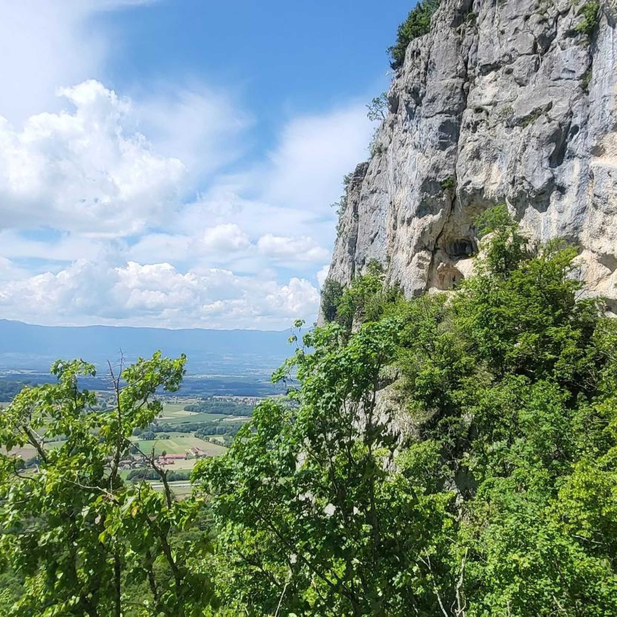
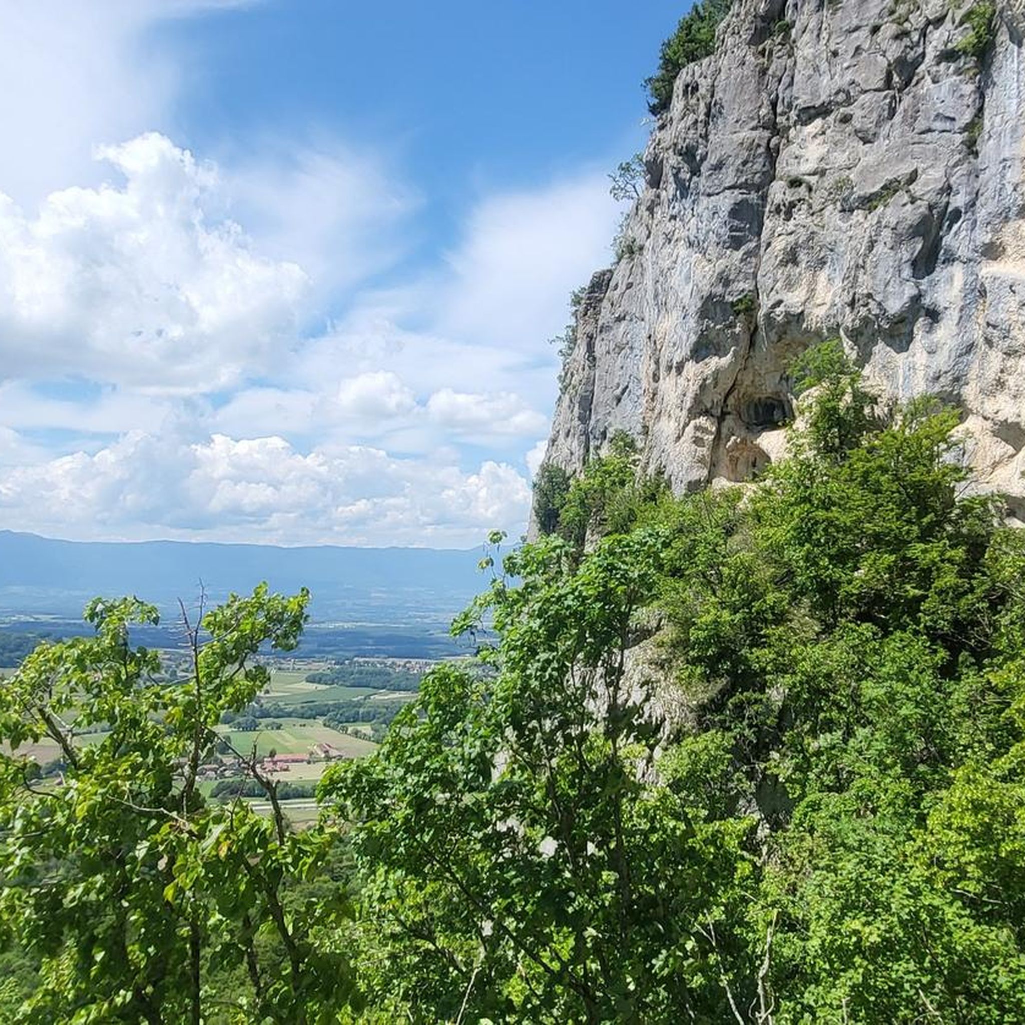
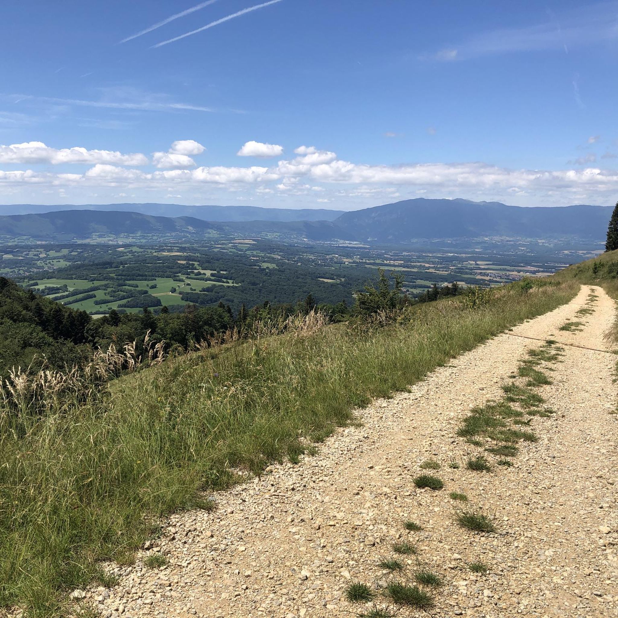
Beautiful panorama of Lake Geneva, the Geneva region and the Jura
0
0
Beautiful panorama of Lake Annecy, the Aravis and Mont Blanc
0
0
magnificent view of Geneva
0
0

This lake is divided into a large lake and a small canal. Trout fishing is practiced here, as well as carp fishing. Special permits are available in several shops and bars in town. Main fish: rainbow trout, carp, roach, bream, catfish, pike, perch, etc. Depth: generally 1.5m to 2m, but near the dike, it can be between 4 and 5m.
1
0
Frequently Asked Questions
What kind of terrain can I expect on road cycling routes around Présilly?
The Présilly region offers a diverse landscape for road cyclists, characterized by rolling hills, open countryside, and quiet rural roads. You'll encounter routes with moderate climbs, some reaching over 800 meters in elevation, providing both a physical challenge and expansive views. The area also features scenic lakes, such as Lake Dronières, along many routes.
Are there road cycling routes suitable for beginners in Présilly?
Yes, Présilly offers a selection of routes suitable for beginners. Out of approximately 135 road cycling tours in the area, 18 are classified as easy. These routes typically feature gentler gradients and shorter distances, allowing new cyclists to enjoy the scenic countryside at a comfortable pace.
What are some challenging road cycling routes for experienced riders in Présilly?
Experienced road cyclists looking for a challenge will find plenty of options. Présilly features 39 difficult routes, often including significant climbs and longer distances. For instance, the Caille Bridge – Jet d'Eau Fountain loop from Vovray-en-Bornes is a demanding 92 km route with over 1200 meters of elevation gain.
Are there any circular road cycling routes around Présilly?
Yes, many of the road cycling routes in Présilly are designed as loops, allowing you to start and finish at the same point. Examples include the popular Château des Avenières – Col des Pitons loop from Saint-Julien-en-Genevois and the scenic Saint Martin Church – Lake Dronières loop from Jussy.
What scenic viewpoints can I discover while road cycling in Présilly?
The Présilly area is rich with scenic viewpoints. You can enjoy panoramic vistas such as the View of the Jura Mountains, the View of Mont Salève, or the expansive View of Mont Blanc and Lake Annecy from Mont Salève. Many routes also pass through charming villages and past historic landmarks.
Are there any notable landmarks or attractions along the road cycling routes?
Yes, road cycling routes around Présilly often pass by interesting landmarks and natural features. You might encounter mountain passes like Col des Pitons or Col de la Croix Biche. The historic Avully Village is also a point of interest in the region.
What is the best time of year for road cycling in Présilly?
The best time for road cycling in Présilly is typically from spring through autumn. During these seasons, the weather is generally mild, and the landscapes are vibrant. While some routes may be accessible in winter, conditions can vary, especially on higher elevations or shaded roads, so checking local forecasts is advisable.
What do other road cyclists enjoy most about the routes in Présilly?
The road cycling routes in Présilly are highly regarded by the komoot community, with an average rating of 4.5 stars from over 500 reviews. Cyclists frequently praise the region's quiet countryside roads, the variety of terrain from rolling hills to moderate climbs, and the beautiful scenic views, especially those overlooking Lake Dronières and the surrounding mountains.
How many road cycling routes are available in the Présilly area?
There are approximately 135 road cycling routes available around Présilly. This extensive network includes options for various skill levels, with 18 easy, 78 moderate, and 39 difficult tours to explore.
Are there road cycling routes that feature lakes or water views?
Absolutely. Several routes in Présilly offer beautiful views of lakes. The Lake Dronières – Groisy Church loop from Andilly is a prime example, leading through rural landscapes with picturesque views of Lake Dronières, a popular feature among local cyclists.
What is the typical elevation gain on road cycling routes in Présilly?
The elevation gain on Présilly's road cycling routes varies significantly depending on the route's difficulty. Moderate routes often feature climbs of 400-800 meters, while more difficult routes can include over 1200 meters of elevation gain, such as the challenging Caille Bridge – Jet d'Eau Fountain loop.
Most popular routes around Présilly
Most popular attractions around Présilly

Get inspired with the komoot mobile app


Explore more
Browse the best Road cycling routes in other regions.
