The best road cycling routes around Charens
4.7
(36)
1,278
riders
25
rides
Road cycling routes around Charens are characterized by a varied terrain featuring significant elevation changes and numerous mountain passes. The region is situated within the Diois area, known for its rugged landscapes and scenic vistas. Road cyclists can expect routes that traverse valleys and ascend to cols, offering both challenging climbs and panoramic views. This area provides a diverse environment for road cycling, from moderate ascents to demanding long-distance loops.
Best road cycling routes around Charens
- The most popular road…
Last updated: July 9, 2026
4.5
(4)
535
riders
130km
06:30
2,120m
2,120m
Hard road ride. Very good fitness required. Mostly well-paved surfaces and easy to ride.
5.0
(3)
95
riders
66.2km
03:24
1,170m
1,170m
Hard road ride. Very good fitness required. Mostly well-paved surfaces and easy to ride.

Sign up for free
42
riders
91.1km
04:41
1,660m
1,660m
Hard road ride. Very good fitness required. Mostly well-paved surfaces and easy to ride.
31
riders
110km
05:43
2,030m
2,030m
Hard road ride. Very good fitness required. Mostly well-paved surfaces and easy to ride.
3.0
(2)
76
riders
84.1km
04:15
1,280m
1,280m
Hard road ride. Very good fitness required. Mostly well-paved surfaces and easy to ride.
Get access to more routes and recommendations from other explorers.
Sign up for free
Already have an account?
Our route recommendations are based on thousands of hikes, rides, and runs completed by other people on komoot.
Start today with a free account
Your next adventure awaits.
Login or Signup
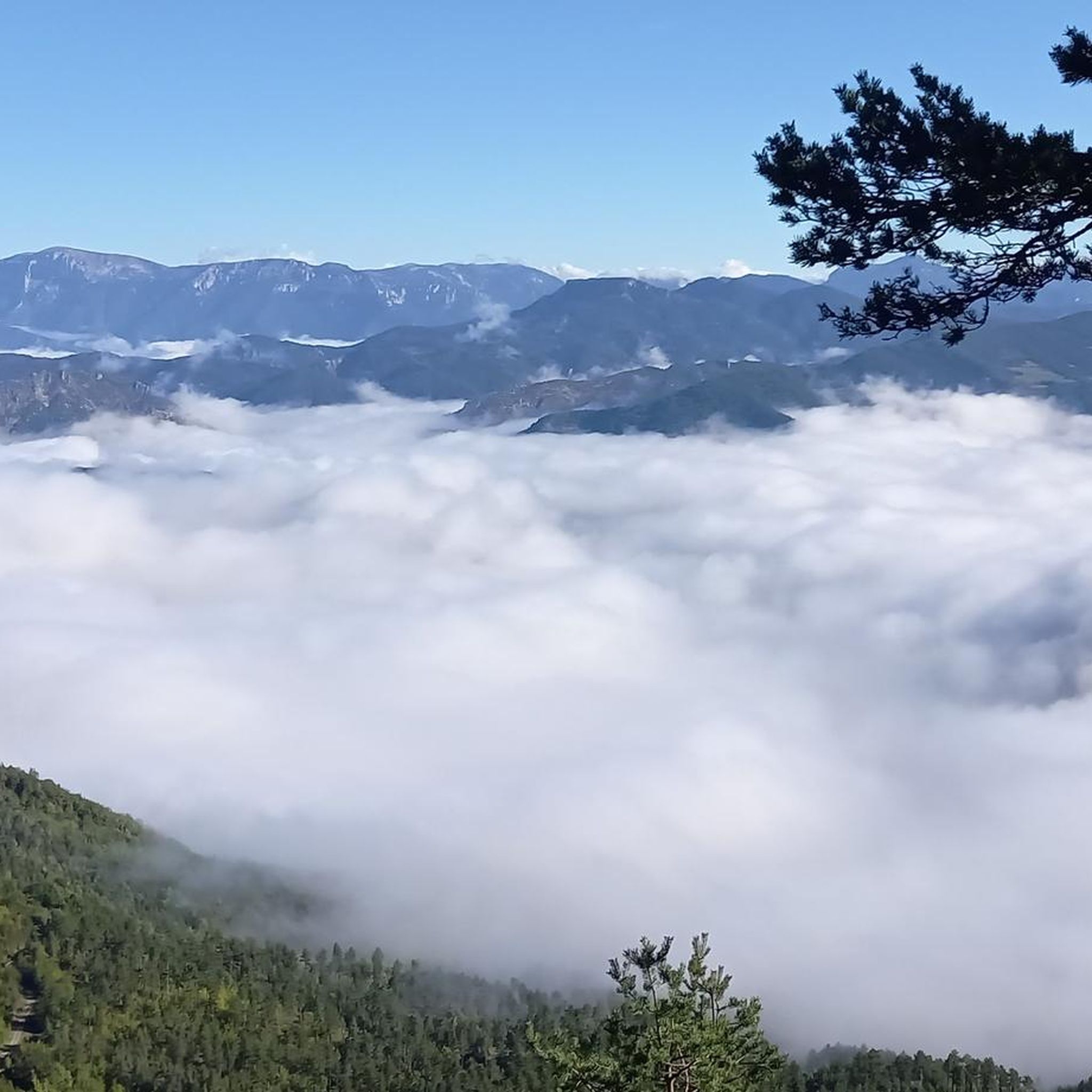
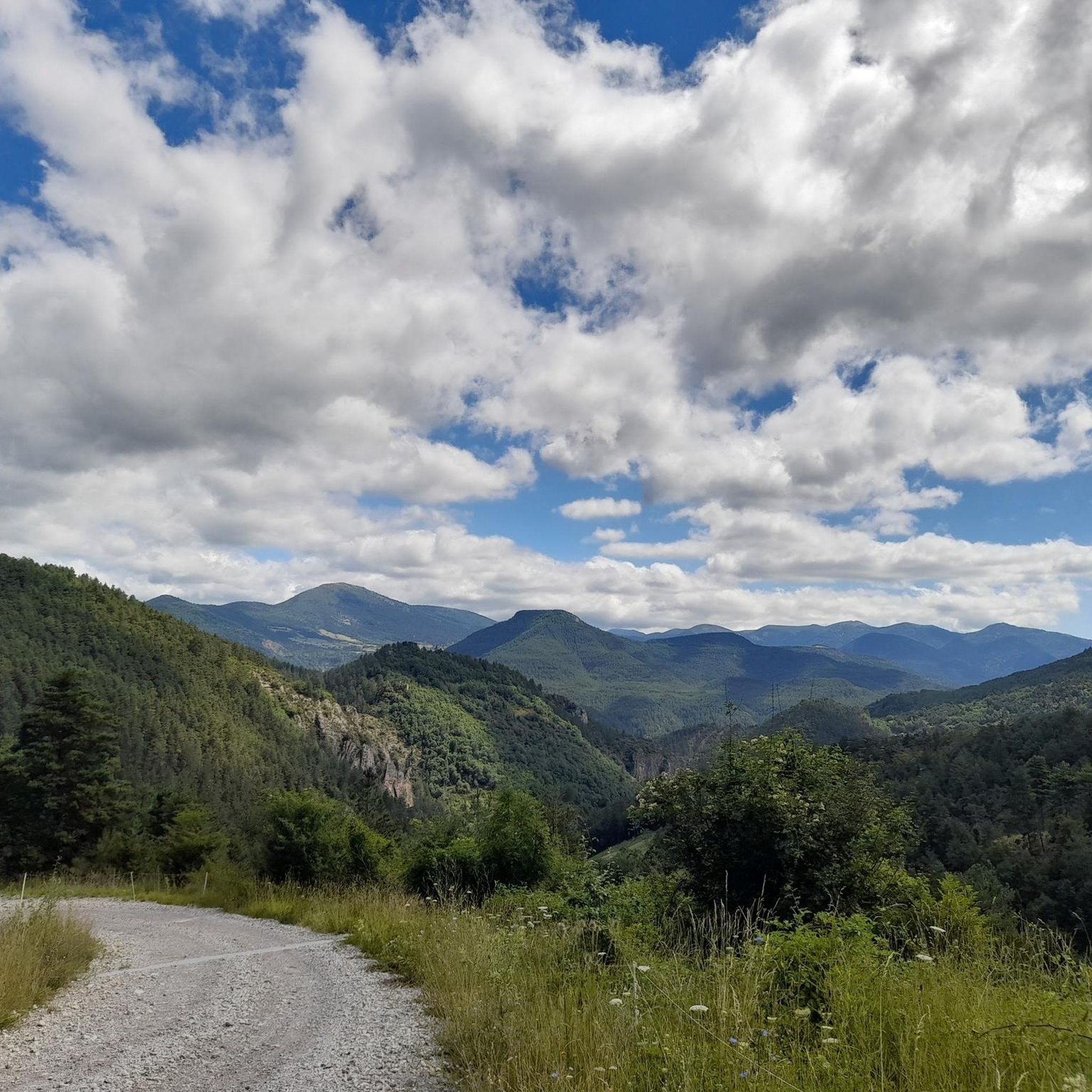
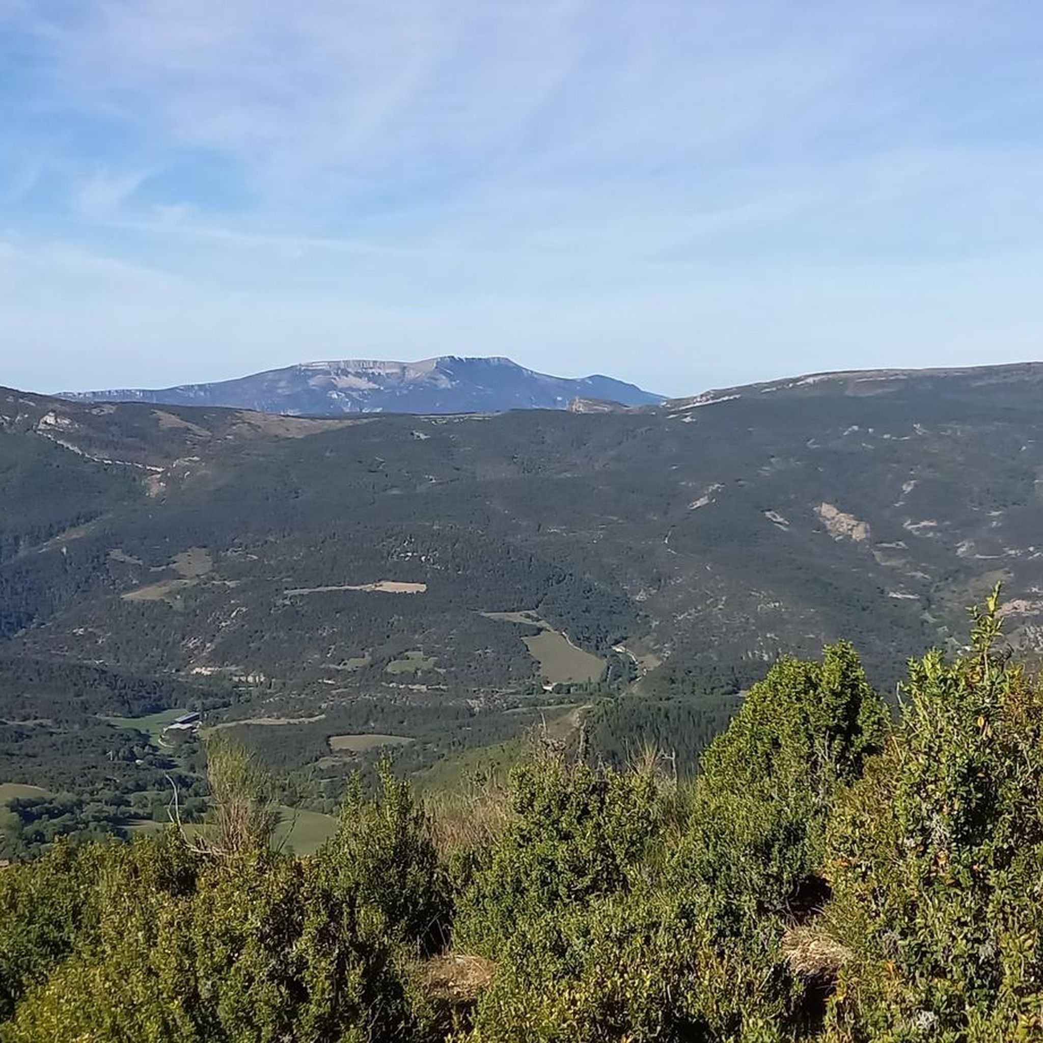
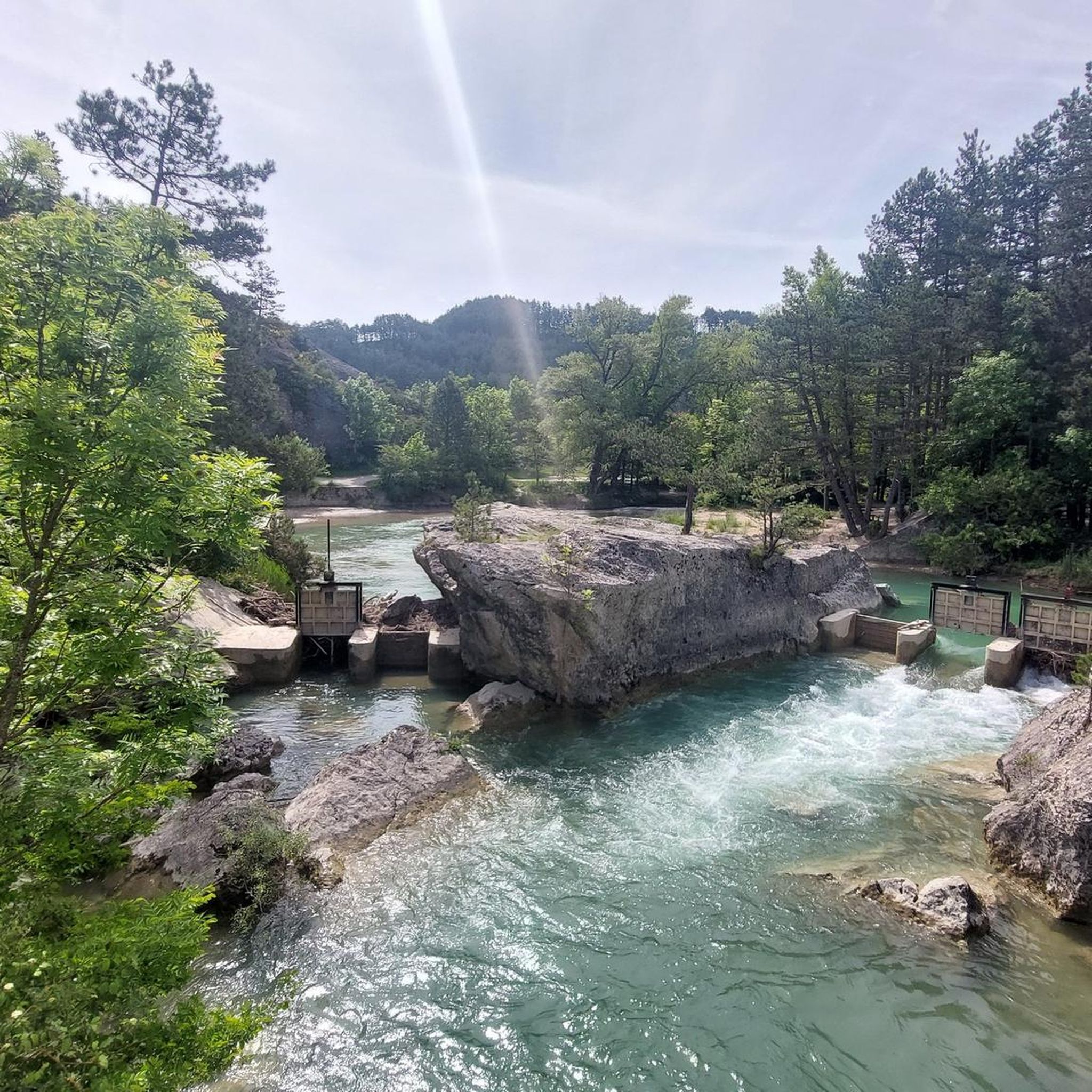
Tips from the Community

Building maintained in excellent condition.
1
0
The ascent to Col de la Fromagère / Col de Pommerol from Rosans is located in the Hautes-Alpes region. This ascent is 6.6 km long, with a total elevation gain of 371 m. The average gradient of the ascent to Col de la Fromagère / Col de Pommerol from Rosans is 5.6%.
1
0
Village surrounded by the Alps.
1
0
Secondary road away from traffic. Asphalt in perfect condition.
8
0
A road that cuts out the traffic, Unforgettable panoramas
14
0
Exceptional viewpoint for taking amazing photos
18
0
Road without traffic with perfect asphalt.
17
0
La Diga di Buesch (in French, Barrage du Buëch) is a small dam located on the Buëch river, in the department of Alpes-de-Haute-Provence / Hautes-Alpes, in southeastern France, near Laragne-Montéglin. It is best known as a landmark for cyclists and hikers in the Buëch valley.
14
0
Frequently Asked Questions
How many road cycling routes are available around Charens?
There are over 20 road cycling routes around Charens documented on komoot, offering a diverse range of experiences for cyclists. These routes are characterized by varied terrain, significant elevation changes, and numerous mountain passes within the scenic Diois area.
Are there any easy road cycling routes for beginners in Charens?
While many routes in Charens feature significant climbs, there is at least one easy road cycling route available. The region generally caters to cyclists looking for moderate to difficult challenges, but careful selection can provide a less strenuous experience.
What kind of elevation gain can I expect on road cycling routes in Charens?
Road cycling routes around Charens are known for their significant elevation changes. For example, the difficult route Miscon Pass – Miscon Pass loop from Beaurières involves over 2,100 meters of ascent, while the moderate Col de Miscon from Luc-en-Diois has around 700 meters of climbing. Expect to encounter mountain passes and rewarding ascents throughout the region.
Are there any circular road cycling routes around Charens?
Yes, many road cycling routes in Charens are designed as loops, allowing you to start and finish in the same location. Examples include the challenging Miscon Pass – Miscon Pass loop from Beaurières and the Panoramic View of the Diois – Col de Rousset loop from Luc-en-Diois.
What are some scenic viewpoints or attractions along the road cycling routes?
The Diois region offers numerous panoramic viewpoints. Along your rides, you might encounter natural wonders like the Saut de la Drôme and the Claps, the dramatic Claps Rock Chaos, or the picturesque Pommerol Gorges. The charming settlement of Luc-en-Diois is also a notable point of interest.
What do other road cyclists say about the routes in Charens?
The road cycling routes in Charens are highly regarded by the komoot community, boasting an average rating of 4.9 stars from over 30 reviews. Cyclists often praise the challenging climbs, extensive views, and the diverse environment for road cycling.
Are there any particularly challenging road cycling climbs near Charens?
Charens is an excellent destination for challenging road cycling. Routes like the Miscon Pass – Miscon Pass loop from Beaurières and the Col de la Croix – Die loop from Luc-en-Diois feature significant ascents to mountain passes, providing demanding experiences for experienced riders.
What is the best time of year for road cycling in Charens?
Given the mountainous terrain and potential for snow on higher passes, late spring through early autumn (May to October) is generally the most favorable time for road cycling in Charens. This period offers more stable weather and accessible mountain passes.
Are there options for long-distance road cycling in the Charens area?
Yes, Charens offers several options for long-distance road cycling. Routes such as the Miscon Pass – Miscon Pass loop from Beaurières, spanning nearly 130 km, provide extensive rides with challenging climbs and panoramic views across the landscape.
Can I find routes that pass through towns or villages with amenities like cafes?
Many routes in the Diois region will pass through or near charming villages and towns, such as Luc-en-Diois, which often offer opportunities for cafe stops and resupply. Planning your route with komoot allows you to identify such points of interest along the way.
What kind of terrain defines road cycling in Charens?
Road cycling in Charens is defined by a varied terrain that includes mountain passes, deep valleys, and panoramic viewpoints. You can expect a mix of challenging ascents and scenic descents, characteristic of the rugged Diois landscape.
Most popular attractions around Charens

Get inspired with the komoot mobile app


Explore more
Browse the best Road cycling routes in other regions.
