The best walks and hikes around Böbingen an der Rems
4.7
(151)
856
hikers
79
hikes
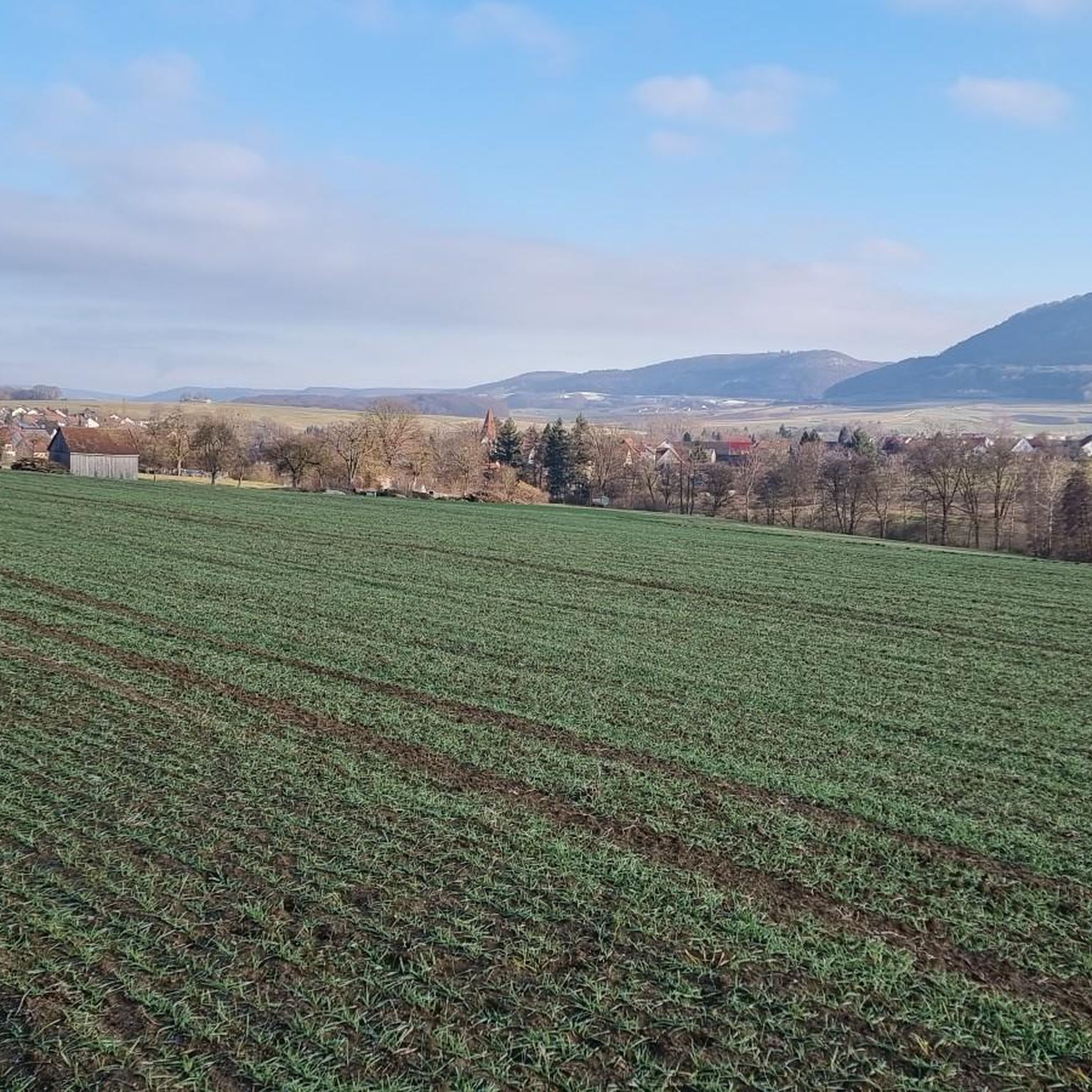
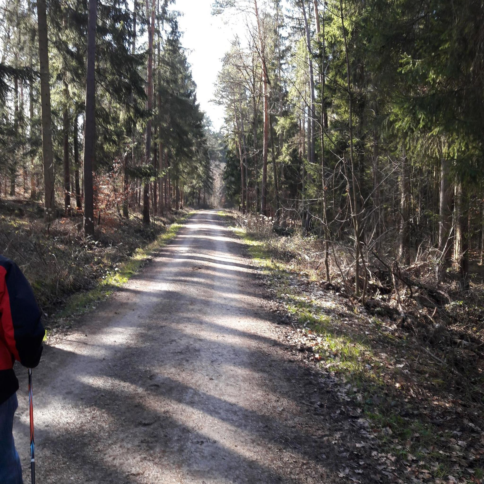
Hiking around Böbingen an der Rems offers diverse landscapes, situated on the edge of the Swabian Forest with rolling hills and the Rems and Klotzbach rivers. The region provides expansive views of the foreland chain of the Swabian Jura, including prominent peaks like Rosenstein and Rechberg. Hikers can explore a network of trails that traverse forests, fields, and historical sites, including sections of the Roman Limes. The area features varied terrain, from gentle riverside paths to more challenging ascents towards…
Last updated: July 10, 2026
4.6
(23)
79
hikers
27.3km
08:02
650m
650m
Hard hike. Very good fitness required. Mostly accessible paths. Sure-footedness required.
4.7
(9)
45
hikers
Moderate hike. Good fitness required. Easily-accessible paths. Suitable for all skill levels.

Sign up for free
4.0
(2)
34
hikers
Easy hike. Great for any fitness level. Easily-accessible paths. Suitable for all skill levels.
4.2
(5)
26
hikers
Moderate hike. Good fitness required. Easily-accessible paths. Suitable for all skill levels.
3.0
(2)
31
hikers
Easy hike. Great for any fitness level. Easily-accessible paths. Suitable for all skill levels.
Get access to more routes and recommendations from other explorers.
Sign up for free
Already have an account?
Our route recommendations are based on thousands of hikes, rides, and runs completed by other people on komoot.
Start today with a free account
Your next adventure awaits.
Login or Signup
Popular around Böbingen an der Rems
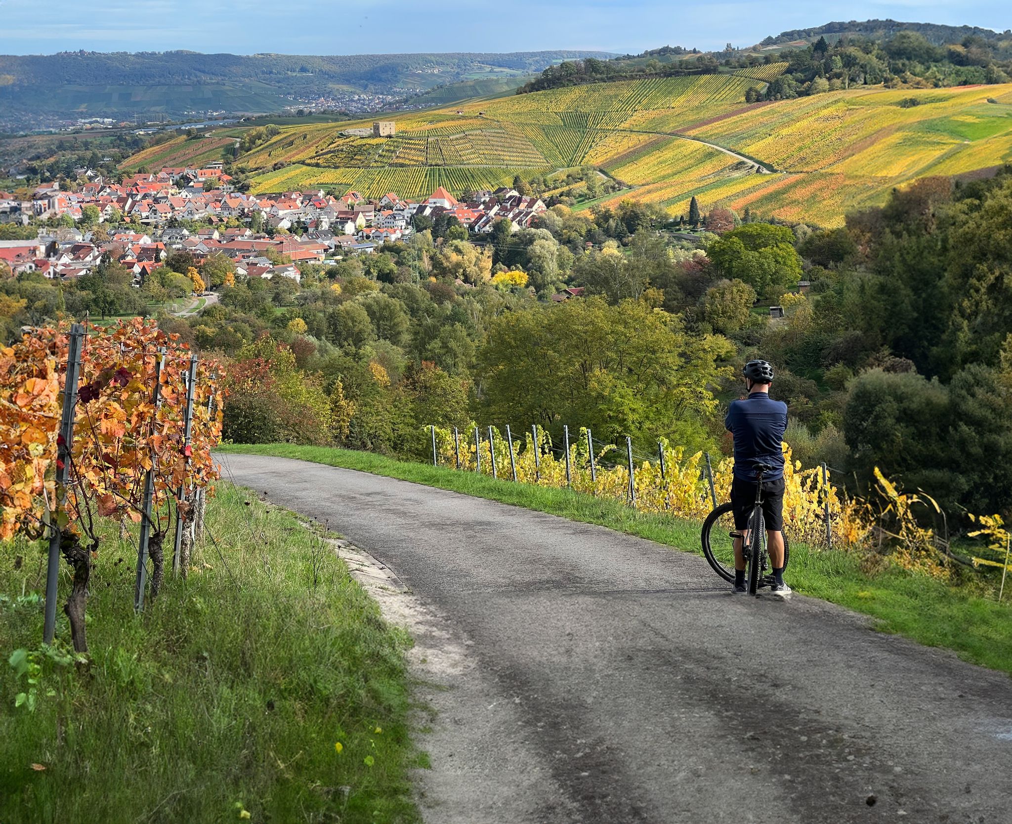
Vineyards, riversides and sunsets – cycling in the Rems Valley
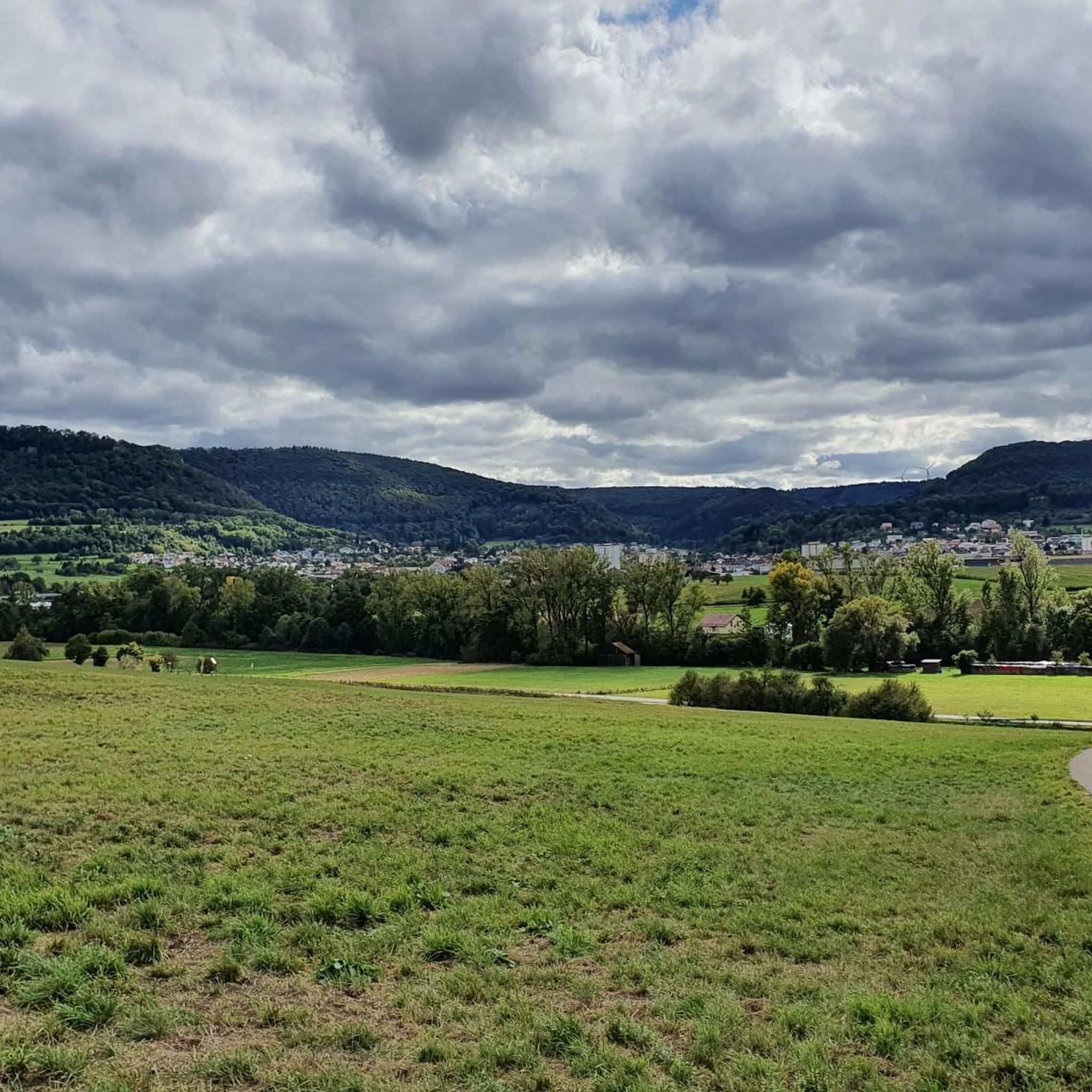
Cycling around Böbingen an der Rems
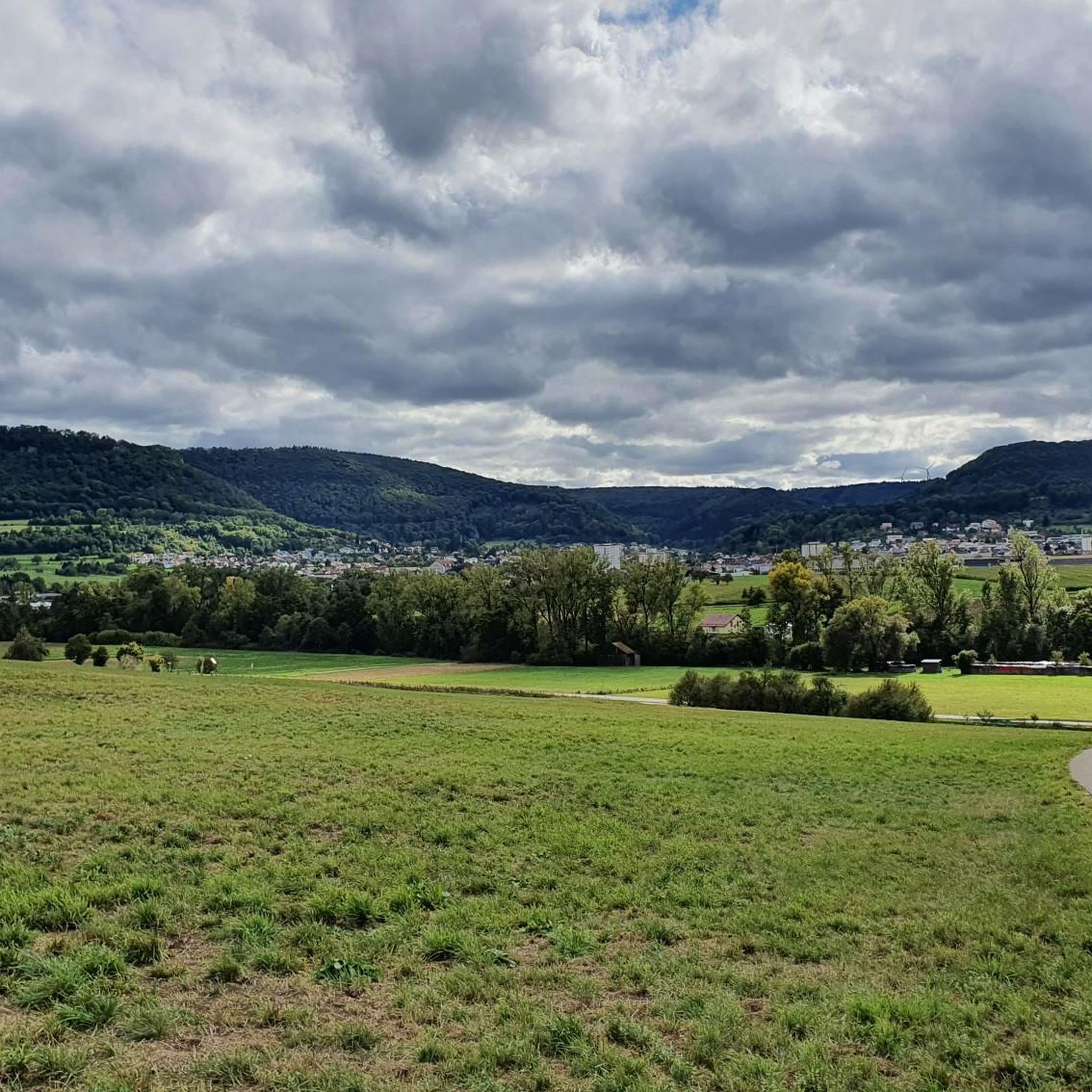
MTB Trails around Böbingen an der Rems
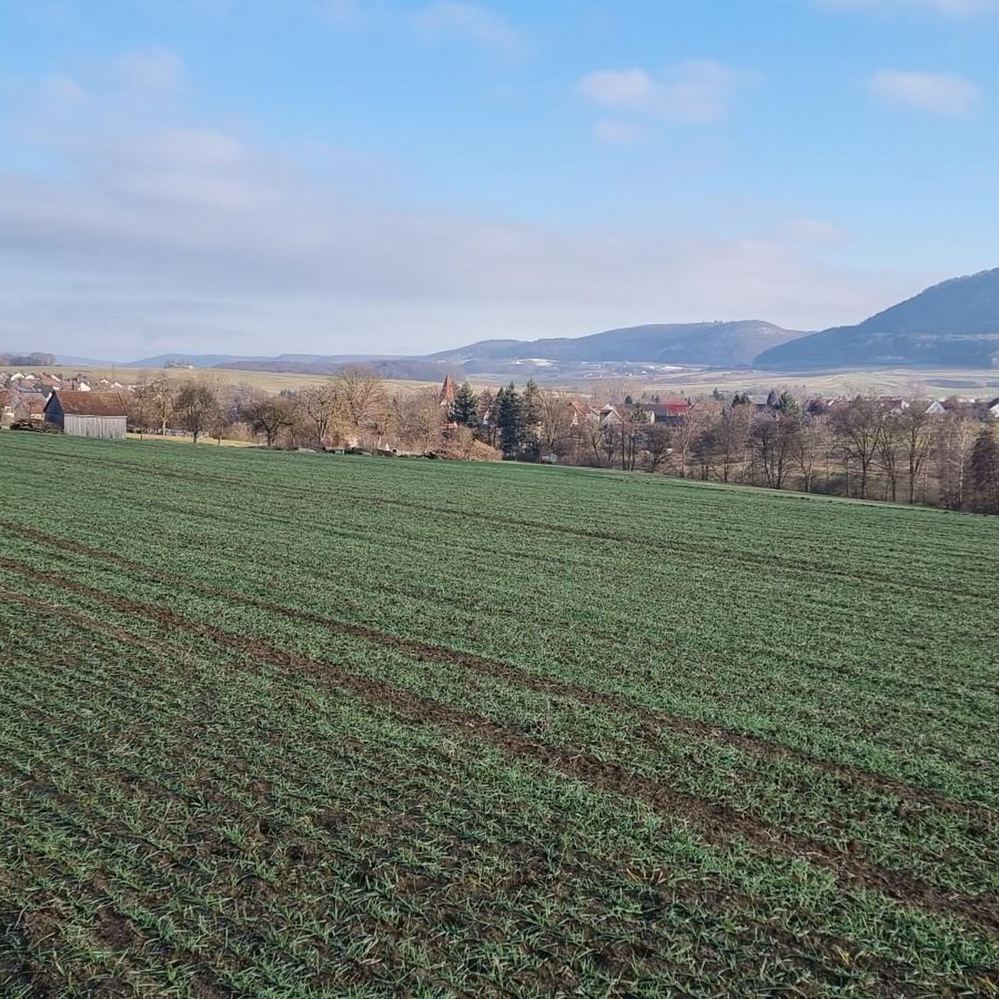
Road Cycling Routes around Böbingen an der Rems
Running Trails around Böbingen an der Rems
Gravel biking around Böbingen an der Rems

Mountain Hikes around Böbingen an der Rems
Other adventures around Böbingen an der Rems

Tips from the Community

From the Rosenstein you can enjoy great views around the Alb foothills
0
0
The Rosenstein is always worth a hike
0
0

Unfortunately, the ball machines are no longer available. So, if you're traveling with children, you should bring your own ball.
0
0

Magnificent view of the foothills of the Alps with views of Mögglingen and Böbingen, and the new bypass road.
0
0

Very nice view. There's a bench for a break :)
0
0

Starting point for hikes in the beautiful Ostalb region.
1
0

It is worth stopping and enjoying
0
0

Frequently Asked Questions
How many hiking trails are available in Böbingen an der Rems?
Böbingen an der Rems offers a wide selection of hiking opportunities, with over 70 distinct trails. These routes cater to various preferences, ranging from easy riverside strolls to more challenging climbs through the Swabian Forest.
What kind of landscapes and natural features can I expect to see while hiking here?
The region is characterized by diverse landscapes, including rolling hills, the scenic Rems and Klotzbach rivers, and expansive views of the Swabian Jura foreland. You can explore sections of the Swabian Forest, discover unique natural monuments like the Wental Rock Sea, and enjoy panoramic vistas from various viewpoints, such as the Aalbäumle observation tower.
Are there easy hiking options suitable for beginners or casual walkers?
Yes, Böbingen an der Rems has plenty of easy trails. Nearly two-thirds of the routes are classified as easy, perfect for a relaxed outing. An example is the Remswellen 12 km marker – Wilde Rems loop from Böbingen an der Rems, which is a pleasant 2.6-mile (4.3 km) trail along the riverside.
Can I find circular hiking routes in Böbingen an der Rems?
Absolutely. Many of the trails in Böbingen an der Rems are circular, allowing you to start and end at the same point. For instance, the Remswellen 12 km marker – BMX Track Swabian Jura loop from Böbingen an der Rems is a moderate 4.8-mile (7.7 km) loop offering varied terrain and views towards the Swabian Jura.
What historical sites or landmarks can I see while hiking?
The region is rich in history. You can hike along sections of the ancient Roman Limes, a UNESCO World Heritage site, and explore the ruins of the Roman fort (Römerkastell Böbingen). Other historical points of interest include the beautiful late Baroque Reiterles Chapel and the Michaelskirche in Oberböbingen, which has Romanesque origins.
Are there any family-friendly hiking trails in the area?
Yes, many trails are suitable for families. The local network includes routes like the "Kleine Böbinger Runde" which are generally shorter and less strenuous, offering impressive views without significant climbs. These paths often traverse fields and provide a gentle introduction to hiking for all ages.
Are dogs allowed on the hiking trails in Böbingen an der Rems?
Generally, dogs are welcome on the hiking trails around Böbingen an der Rems. It's always recommended to keep dogs on a leash, especially in nature reserves or near livestock, and to be mindful of other hikers. The diverse terrain, from riverside paths to forest trails, offers plenty of opportunities for you and your canine companion to explore.
What do other hikers enjoy most about hiking in Böbingen an der Rems?
The hiking routes in Böbingen an der Rems are highly rated by the komoot community, with an average score of 4.7 stars. Reviewers often praise the diverse landscapes, the well-maintained trails, and the blend of natural beauty with historical sites. The varied terrain, from gentle riverside paths to more challenging forest climbs, is also frequently highlighted.
Are there any long-distance hiking trails that pass through Böbingen an der Rems?
Yes, Böbingen an der Rems is a point of interest for several significant long-distance routes. The Limes hiking trail (HW6), a section of the German Limes hiking trail and a UNESCO World Heritage site, passes through the area. Additionally, the main route of the Remswanderweg, tracing the Rems river, and a stage of the RemstalWeg also guide hikers through this picturesque region.
Where can I find places to eat or stay near the hiking trails?
Böbingen an der Rems and its surroundings offer various options for refreshments and accommodation. You'll find local restaurants and cafes in the town. For those looking for a more rustic experience, there are also several huts and cabins nearby, such as the Franz-Keller Hut or the Forest Inn "Wild Garlic Hut", which can serve as good resting points or overnight stays.
What is the best time of year to go hiking in Böbingen an der Rems?
Böbingen an der Rems is enjoyable for hiking throughout much of the year. Spring brings blooming landscapes, while summer offers lush greenery. Autumn is particularly beautiful with vibrant fall foliage. Even in winter, some trails are suitable for hiking, offering a different, serene experience of the snow-dusted hills and forests.
Are there any challenging hikes for experienced hikers?
Yes, for experienced hikers seeking a challenge, there are more difficult routes available. An example is the Rosenstein Castle Ruins – Rosenstein Bridge loop from Heubach. This 17.1-mile (27.5 km) trail features significant elevation gain and takes approximately 8 hours to complete, offering a rewarding experience with historical landmarks.
Most popular routes around Böbingen an der Rems
Most popular attractions around Böbingen an der Rems

Get inspired with the komoot mobile app


Explore more
Browse the best Hikes in other regions.
