The best walks and hikes around Böbingen
4.6
(46191)
173,116
hikers
1,999
hikes
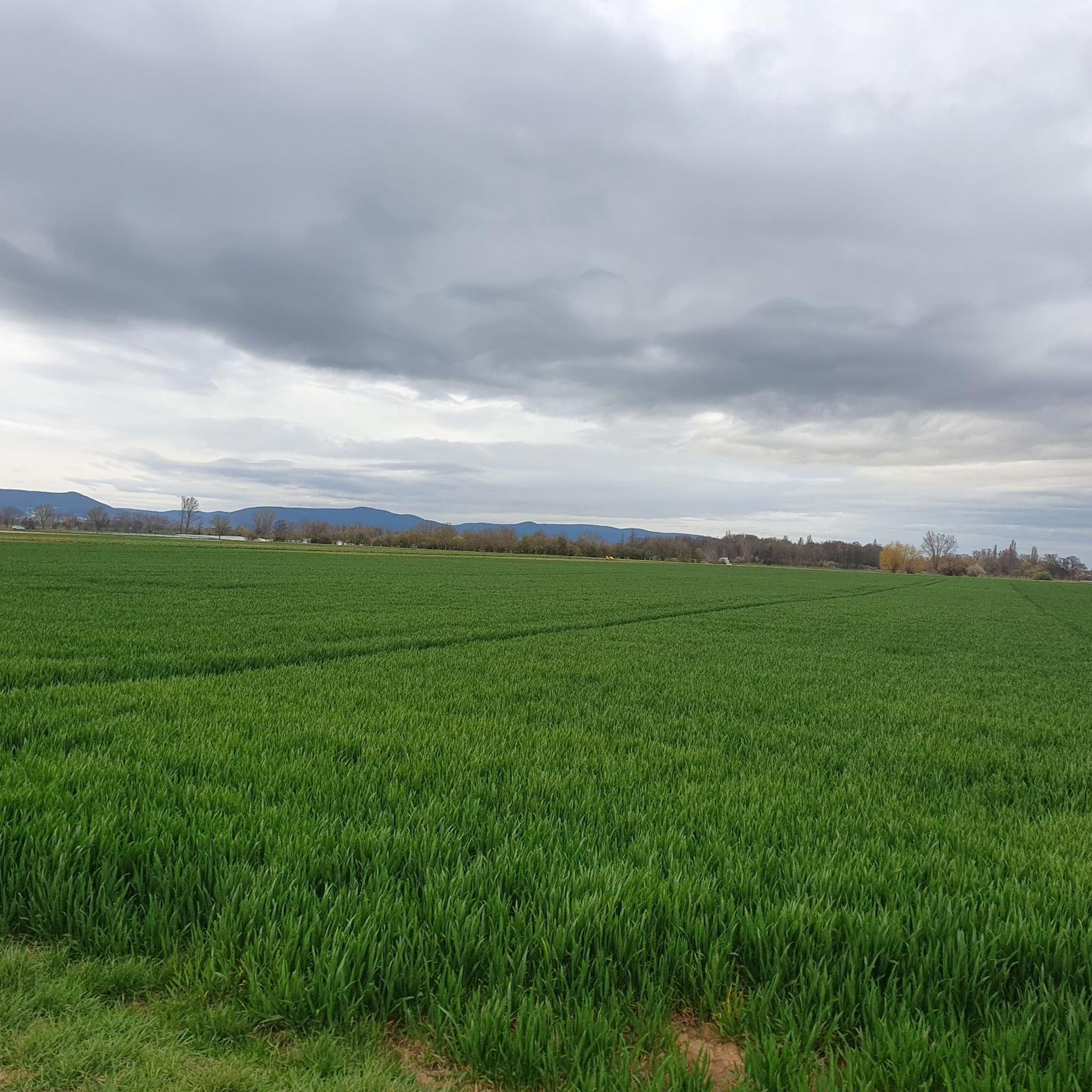
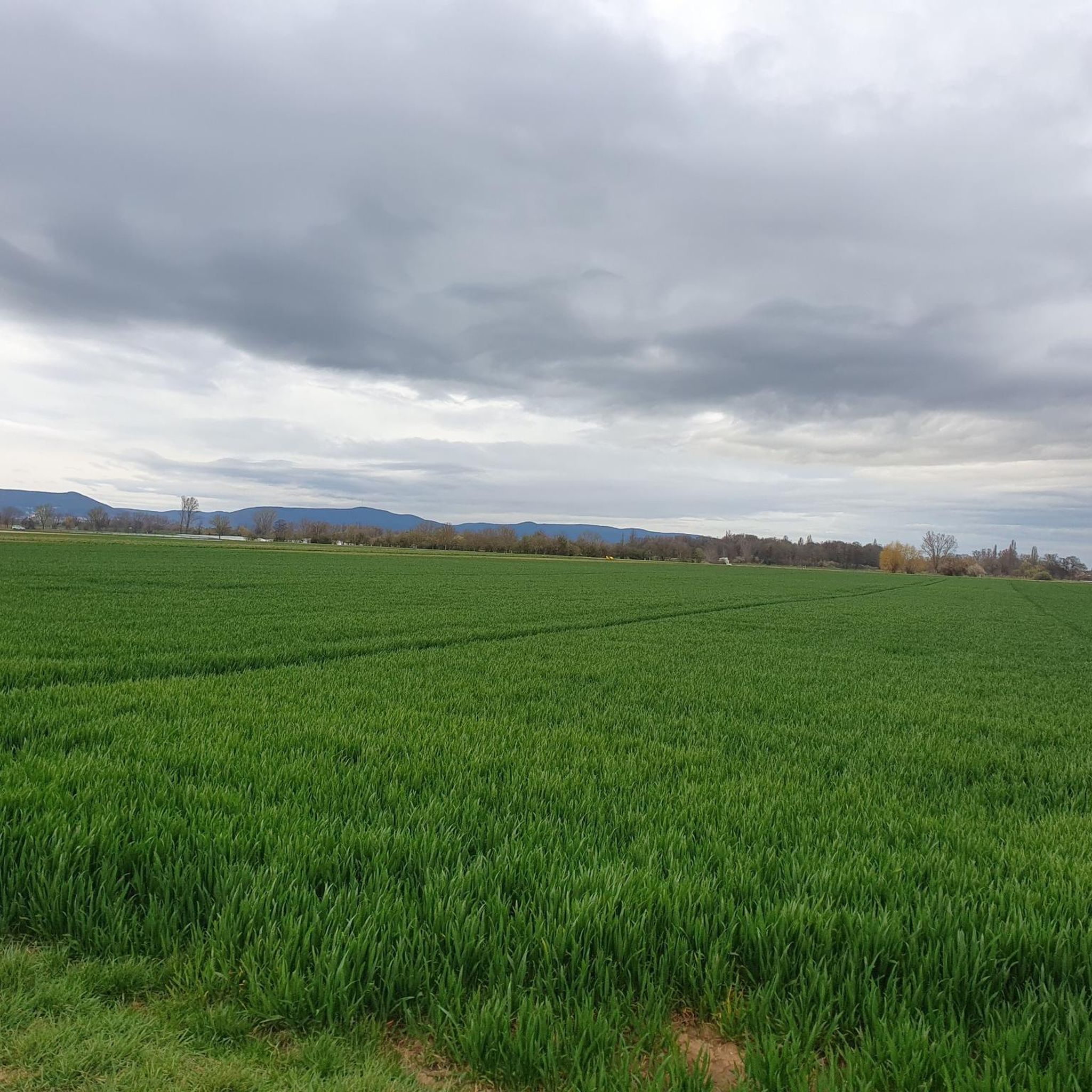
Hiking around Böbingen an der Rems offers diverse landscapes, characterized by the Rems river valley, rolling hills, and proximity to the Swabian Forest. The region features a mix of forests, orchards, and open fields, providing varied terrain for outdoor activities. Elevations are generally moderate, with no significant peaks, making the area accessible for various hiking abilities.
Best hiking trails around Böbingen
- The most popular hiking route is Rietburg Cable Car – Ludwig Tower loop from Hochberg, a 6.3 miles…
Last updated: August 15, 2026
4.6
(313)
907
hikers
6.91km
01:56
140m
140m
Easy hike. Great for any fitness level. Easily-accessible paths. Suitable for all skill levels.
4.8
(528)
1,918
hikers
10.3km
03:05
330m
320m
Moderate hike. Good fitness required. Easily-accessible paths. Suitable for all skill levels.

Sign up for free
4.8
(34)
131
hikers
12.9km
03:59
460m
460m
Moderate hike. Good fitness required. Easily-accessible paths. Suitable for all skill levels.
4.7
(35)
129
hikers
9.44km
02:51
310m
310m
Moderate hike. Good fitness required. Easily-accessible paths. Suitable for all skill levels.
4.5
(18)
93
hikers
10.4km
02:57
230m
230m
Moderate hike. Good fitness required. Easily-accessible paths. Suitable for all skill levels.
Get access to more routes and recommendations from other explorers.
Sign up for free
Already have an account?
Our route recommendations are based on thousands of hikes, rides, and runs completed by other people on komoot.
Start today with a free account
Your next adventure awaits.
Login or Signup



Tips from the Community

One of the best viewpoints in the Palatinate Forest — a sweeping panorama over the vineyard plain stretching all the way to the Rhine and beyond. The rocky outcrop at the castle makes this spot especially dramatic and photogenic.
0
0

Simply beautiful. Especially with a crystal clear sky.
0
0
Highly recommended due to the very quiet location in the middle of nature. Then especially thanks to the good food and value for money. Service is good and the ambiance is suitably rustic, like the nature around it.
0
0
Very quiet location. Food and drinks are tasty and inexpensive.
0
0

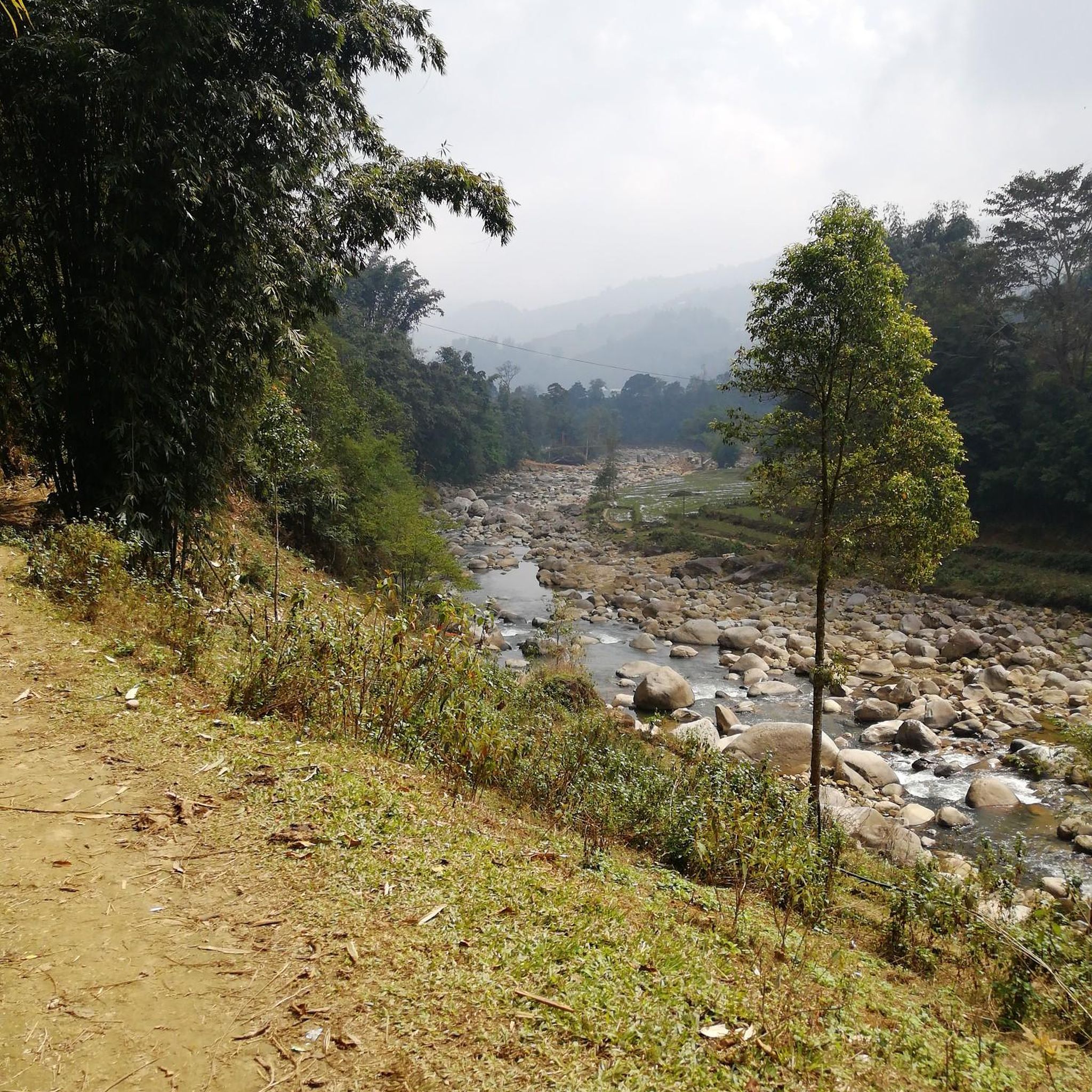
Right next to the hiking trail/stream. Stone bridge. Beautiful photo opportunity.
0
1

An absolutely delightful section. The view from the Rietburg castle ruins 🍀👍
0
0

Magnificent view from the Peace Monument
0
0

Nice little lake, you can walk around it once - it's not that big
0
0
Frequently Asked Questions
How many hiking trails are available around Böbingen an der Rems?
There are over 1,900 hiking routes available around Böbingen an der Rems, offering a wide variety of options for different skill levels and preferences.
What are the general characteristics of hiking trails in Böbingen an der Rems?
Hiking around Böbingen an der Rems is characterized by diverse landscapes, including the Rems river valley, rolling hills, and proximity to the Swabian Forest. You'll find a mix of forests, orchards, and open fields. Elevations are generally moderate, making the area accessible for various hiking abilities.
Are there easy hiking trails suitable for beginners in Böbingen an der Rems?
Yes, Böbingen an der Rems offers over 1,000 easy hiking routes. An excellent option for beginners is the Hilsch Pond – Hilsch Waterfall loop from Hochberg, an easy 4.2-mile (6.8 km) path that leads through varied forest and pond scenery with moderate elevation gain.
What is the typical elevation gain on hikes around Böbingen an der Rems?
The elevation gain on hikes around Böbingen an der Rems varies. Easy trails might have around 450 feet (140 meters) of ascent, while moderate routes can feature climbs of 1,000 to 1,700 feet (300 to 500 meters). The region's rolling hills provide a good workout without extreme ascents.
Are there any waterfalls to see on hikes near Böbingen an der Rems?
Yes, the region features several beautiful waterfalls. You can visit the Hilsch Waterfall, which is part of the Hilsch Pond – Hilsch Waterfall loop. Another notable one is the Triefenbach Waterfall.
What historical landmarks can I explore while hiking in Böbingen an der Rems?
Böbingen an der Rems is situated along the historic Limes Hiking Trail, which is part of the German Limes hiking trail. This trail offers a journey past ancient Limes remnants. You can also find the Königsmühle Historic Mill and Pond, offering a glimpse into the region's past.
Are there any viewpoints or scenic spots along the trails?
Yes, the region offers several scenic spots. Along the Limes Hiking Trail, you can find the observation tower at Grubenholz and the Schönstattkapelle Barnberg, both providing excellent views of the surrounding landscape. Many trails also offer views over the picturesque Rems valley with its vineyards and orchards.
Are there family-friendly hiking options in Böbingen an der Rems?
Absolutely. With over 1,000 easy routes, many trails are suitable for families. The varied terrain of forests, orchards, and open fields provides engaging scenery for children. Look for shorter, less strenuous loops like the Hilsch Pond – Hilsch Waterfall loop for a pleasant family outing.
Can I bring my dog on the hiking trails around Böbingen an der Rems?
Generally, dogs are welcome on most hiking trails in the Böbingen an der Rems region. It's always advisable to keep your dog on a leash, especially in nature reserves or areas with livestock, and to carry water for them. The diverse landscapes offer plenty of opportunities for walks with your canine companion.
Are there any circular hiking routes available?
Yes, many of the hiking routes around Böbingen an der Rems are circular. For example, the Rietburg Cable Car – Ludwig Tower loop from Hochberg is a popular moderate circular trail. The Hilsch Pond – Hilsch Waterfall loop is another excellent circular option.
What is the best time of year to hike in Böbingen an der Rems?
The Rems valley region is beautiful year-round. Spring offers blossoming orchards and vineyards, while summer provides lush greenery. Autumn brings vibrant fall colors, especially in the extensive forests. Even winter can be pleasant for hiking, with crisp air and serene landscapes, though some paths might be muddy or icy.
Are there any huts or places to stop for refreshments along the trails?
Yes, the region has several huts that can serve as resting points or offer refreshments. Highlights include the Kalmithaus, the Landau hut at the Zimmerbrunnen (PWV), and the Hohe Loog House. These provide opportunities for a break during your hike.
What do other hikers enjoy the most about hiking in Böbingen an der Rems?
The area is highly rated by the komoot community, with an average score of 4.6 stars from over 38,000 reviews. Reviewers often praise the diverse landscapes, the well-marked paths, and the blend of natural beauty with historical elements like the Limes. The accessibility for various skill levels is also frequently highlighted.
Most popular routes around Böbingen
Most popular attractions around Böbingen

Get inspired with the komoot mobile app


Explore more
Browse the best Hikes in other regions.
