The best road cycling routes around Aussois
4.4
(95)
4,699
riders
39
rides
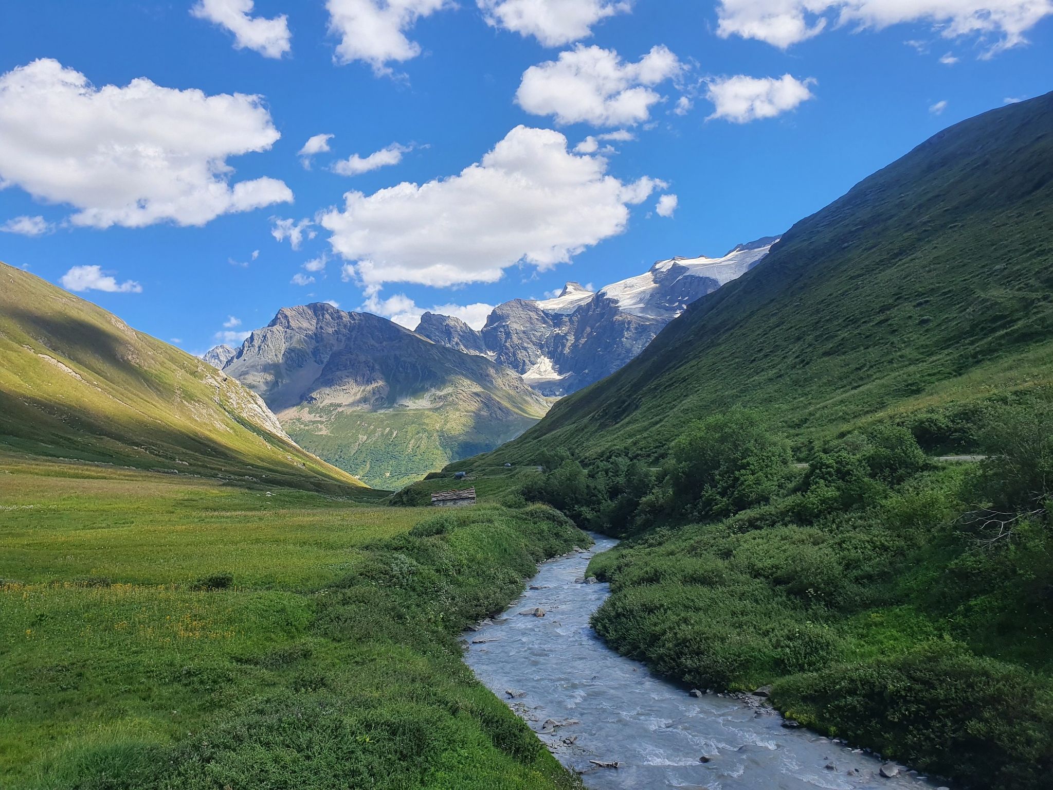
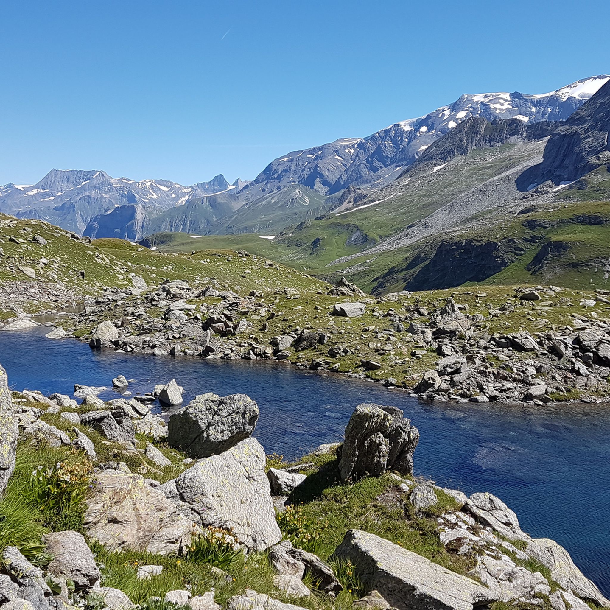
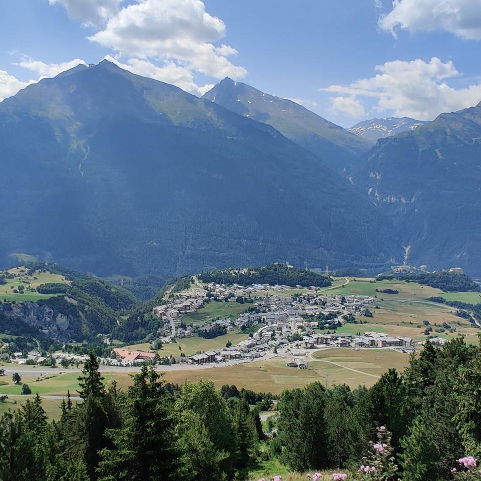
Road cycling routes around Aussois are situated in the Maurienne Valley, a region known for its extensive cycling terrain and proximity to the Vanoise National Park. The area features a landscape of high Alpine passes, including legendary cols, and significant elevation changes. Cyclists encounter a mix of well-paved roads, with some segments on more challenging routes potentially unpaved, alongside natural features like the Plan d'Aval and Plan d'Amont dams. The terrain offers diverse challenges, from moderate ascents to routes with…
Last updated: October 18, 2026
4.3
(9)
293
riders
36.6km
02:09
900m
900m
Moderate road ride. Good fitness required. Some segments of this route may be unpaved and difficult to ride.
66
riders
52.9km
03:28
1,520m
1,520m
Hard road ride. Very good fitness required. Mostly well-paved surfaces and easy to ride.

5.0
(1)
79
riders
23.8km
01:27
640m
640m
Moderate road ride. Good fitness required. Mostly well-paved surfaces and easy to ride.
39
riders
38.8km
02:28
950m
950m
Hard road ride. Very good fitness required. Mostly well-paved surfaces and easy to ride.
34
riders
12.2km
00:56
500m
500m
Moderate road ride. Good fitness required. Mostly well-paved surfaces and easy to ride.
Get access to more routes and recommendations from other explorers.
Already have an account?
Our route recommendations are based on thousands of hikes, rides, and runs completed by other people on komoot.
Start today with a free account
Your next adventure awaits.





Tips from the Community

Had a nice beer after the round walk and ate an ice cream. Recommended, we had sunny weather with a completely blue sky and stunning views, temperatures between 20 and 26 degrees.
0
0

A refuge like so many others. Accessible by car...
0
0

Town with transit traffic to Italy on the Arc. Many possibilities, hotels, restaurants and shops.
2
0
At the pass with restaurant and hotel. Historic pass with Hannibal and Napoleon.
2
0
Beautiful view of the river and the town.
2
0

Frequently Asked Questions
How many road cycling routes are available around Aussois?
Aussois offers a wide selection of road cycling routes, with over 35 options available. These routes cater to various fitness levels, from moderate rides to challenging ascents with significant elevation gain.
What is the best time of year for road cycling in Aussois?
The prime season for road cycling in Aussois typically runs from late spring through early autumn. During these months, the high Alpine passes are generally clear of snow, offering optimal conditions to explore the Maurienne Valley and its challenging terrain.
Are there road cycling routes suitable for beginners or families in Aussois?
While Aussois is known for its challenging Alpine terrain, there are routes with more moderate elevation gains. For a less strenuous option, consider the Aussois – Modane loop from Aussois, which is a moderate 13.7-mile (22.0 km) trail through the local valley. The village itself is recognized as a family resort, indicating a general family-friendly environment.
Where can I find parking for road cycling routes in Aussois?
Aussois, being a hub for outdoor activities, offers various parking options within the village and near popular trailheads. Specific parking details can often be found on the individual route pages on komoot or local tourism information points.
Can I reach the road cycling routes in Aussois using public transport?
Aussois is situated in the Maurienne Valley, which has public transport connections. While direct access to every trailhead via public transport might vary, the village of Aussois itself is accessible, and many routes start directly from there, such as the popular Aussois – Plan d'Amont loop from Aussois.
Are dogs allowed on road cycling routes around Aussois?
Aussois is located within the Vanoise National Park, a protected natural area. While dogs are generally welcome in many parts of the Maurienne Valley, specific regulations apply within the National Park to protect wildlife. It's advisable to check local signage or park guidelines regarding dogs, especially on trails that enter the core zone of the park.
What kind of natural landmarks or scenic viewpoints can I expect to see while cycling?
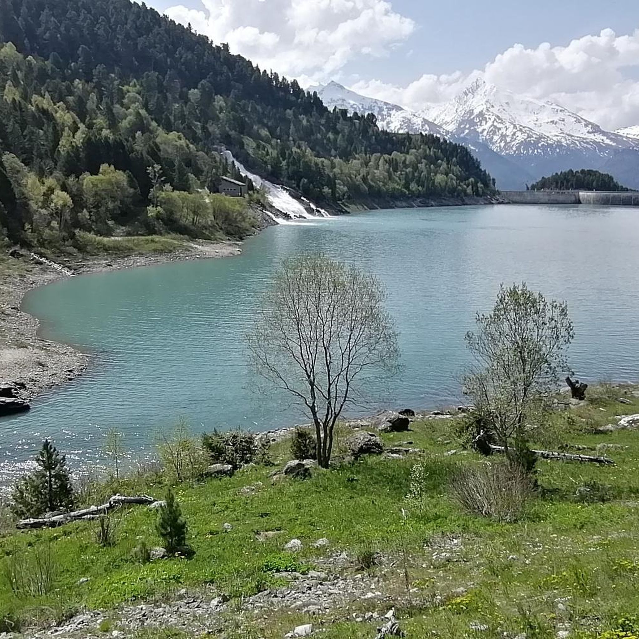
Road cycling around Aussois offers breathtaking views of the Maurienne Valley and surrounding mountain ranges. You can encounter significant natural features like the Plan d'Amont Lake and the Rochemolles Lake and Dam. The area is also known for the Monolithe de Sardières and the Saint-Benoît waterfall. Routes like the Aussois – Summit and View of Aussois loop from Aérodrome de Sollières Sardières offer expansive views of the Aussois area and surrounding peaks.
Are there any historical sites along the road cycling routes?
Yes, Aussois is rich in history. Cyclists can explore the impressive Summit and View of Aussois – Barrière de L'Esseillon loop from Aussois, which leads past the Esseillon forts. These 19th-century fortresses are built into a natural rock barrier and offer a fascinating glimpse into the region's past.
Are there many loop routes available for road cyclists in Aussois?
Loop routes are a popular option in Aussois, allowing cyclists to start and finish in the same location. Several routes, such as the Aussois – Plan d'Amont loop from Aussois and the View of Lac du Plan d'Aval loop from Aussois, are designed as loops, providing convenient and scenic cycling experiences.
What are the typical elevation gains on road cycling routes in Aussois?
Aussois is characterized by significant Alpine terrain. While moderate routes might have around 500 meters of elevation gain, many challenging routes feature over 1,500 meters of ascent. For example, the Aussois – Plan d'Amont loop from Aussois includes over 1,500 meters of climbing, and other difficult routes can exceed 2,000 meters.
Where can I refuel or find amenities along the road cycling routes?
Aussois village itself offers various amenities, including cafes, restaurants, and accommodation. While on longer routes, especially those venturing into more remote areas or high passes, it's wise to carry sufficient supplies. Some routes might pass through smaller hamlets or near mountain huts like Rifugio Scarfiotti or Refuge du Saut, but their opening times can vary seasonally.
What do other cyclists say about road cycling in Aussois?
The road cycling routes in Aussois are highly regarded by the komoot community, with an average rating of 4.5 stars from over 65 reviews. Cyclists frequently praise the challenging ascents, the stunning Alpine scenery, and the well-maintained roads that lead to legendary passes and panoramic viewpoints.
Most popular attractions around Aussois

Get inspired with the komoot mobile app


Explore more
Browse the best Road cycling routes in other regions.
