The best walks and hikes around Vers-Sur-Méouge
4.6
(140)
804
hikers
33
hikes
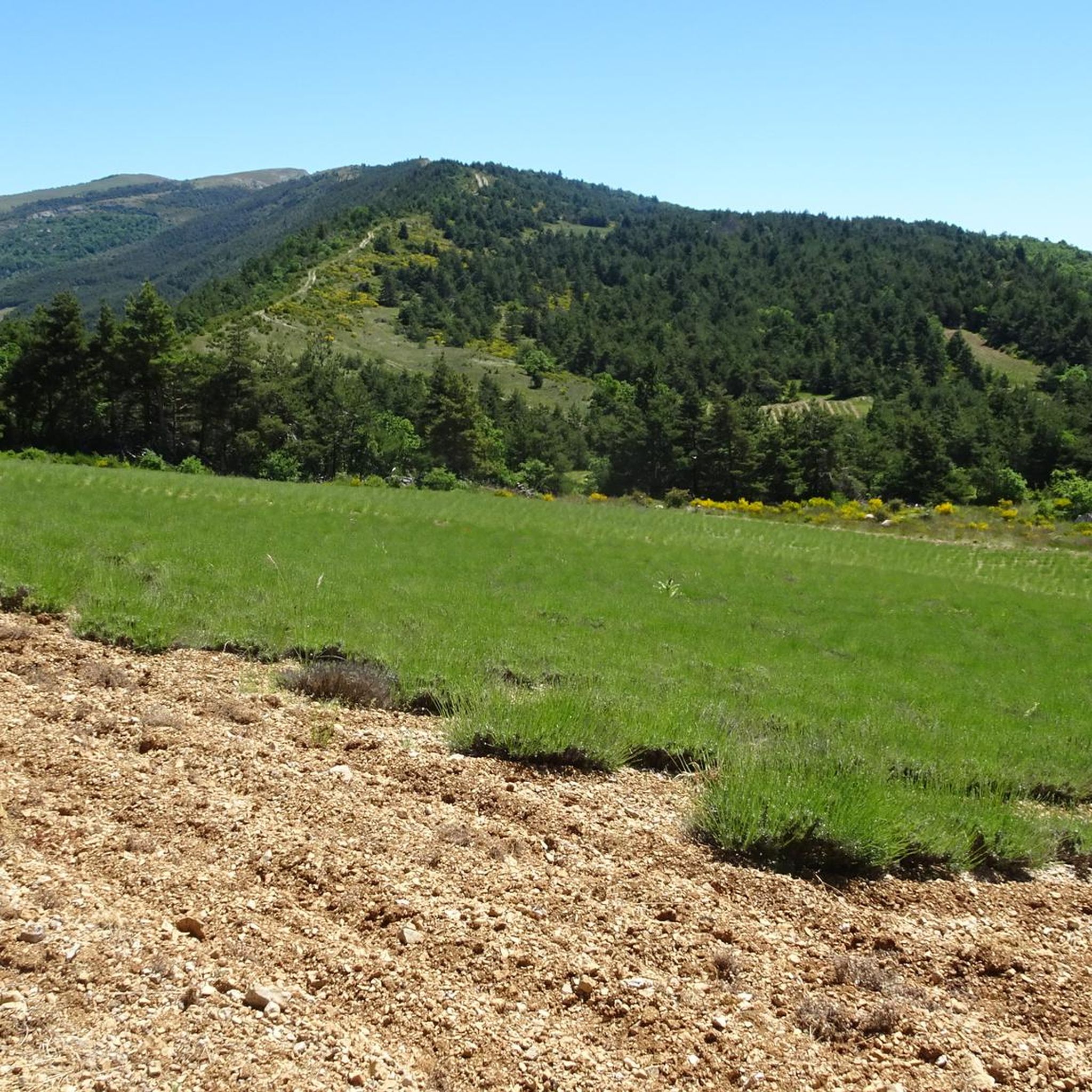
Hiking around Vers-Sur-Méouge offers routes through a landscape characterized by mountainous terrain, including prominent features like Montagne de Chamouse and various mountain passes. The region's trails often involve elevation changes, leading through natural environments. These paths provide opportunities to explore the local topography and natural surroundings.
Best hiking trails in Vers-Sur-Méouge
- The most popular hiking route is Montagne de Chamouse Loop, a 7.7 miles (12.4 km) moderate trail that takes about 4 hours to complete, featuring varied terrain around…
Last updated: July 8, 2026
4.8
(6)
45
hikers
12.4km
03:59
540m
540m
Moderate hike. Good fitness required. Easily-accessible paths. Suitable for all skill levels.
2.06km
00:42
110m
110m
Easy hike. Great for any fitness level. Easily-accessible paths. Suitable for all skill levels.

Sign up for free
4.3
(3)
27
hikers
10.3km
03:11
380m
380m
Moderate hike. Good fitness required. Easily-accessible paths. Suitable for all skill levels.
5.0
(4)
13
hikers
15.6km
05:11
750m
750m
Hard hike. Very good fitness required. Easily-accessible paths. Suitable for all skill levels.
4.0
(2)
13
hikers
5.32km
01:43
230m
230m
Easy hike. Great for any fitness level. Easily-accessible paths. Suitable for all skill levels.
Get access to more routes and recommendations from other explorers.
Sign up for free
Already have an account?
Our route recommendations are based on thousands of hikes, rides, and runs completed by other people on komoot.
Start today with a free account
Your next adventure awaits.
Login or Signup
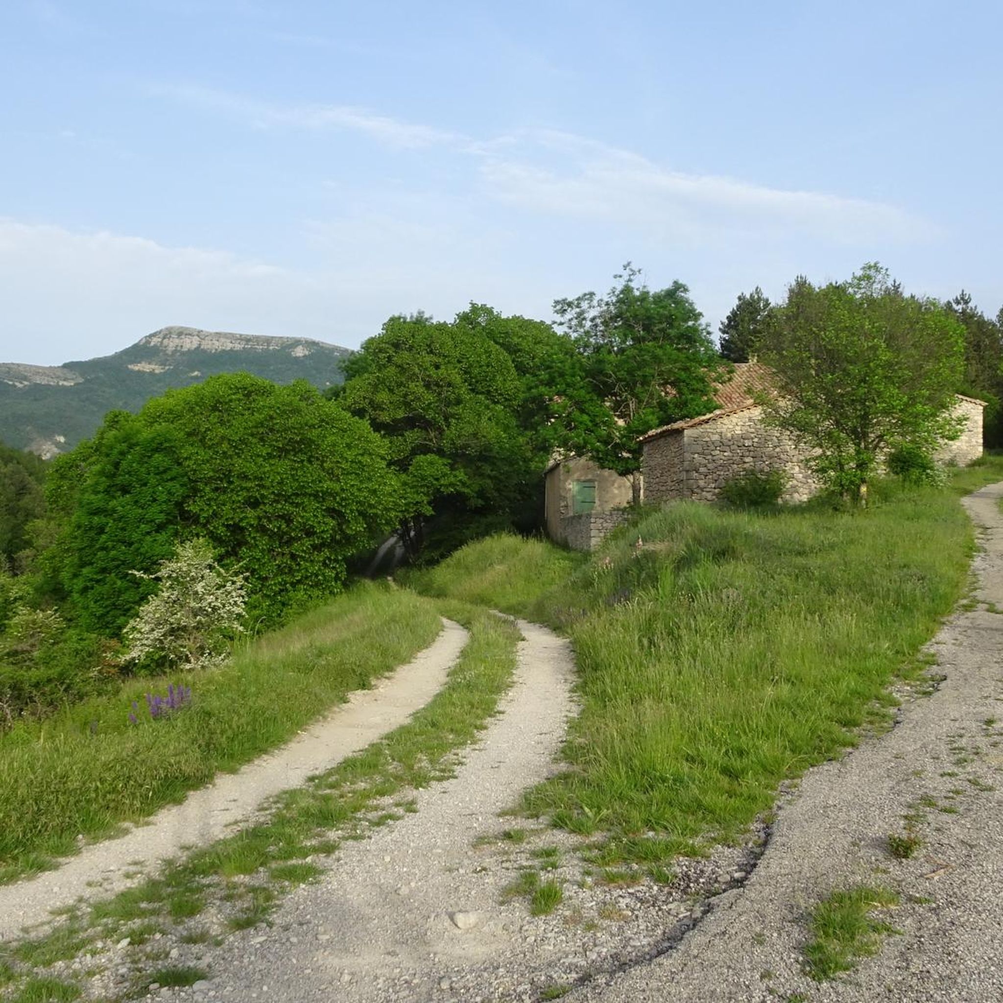
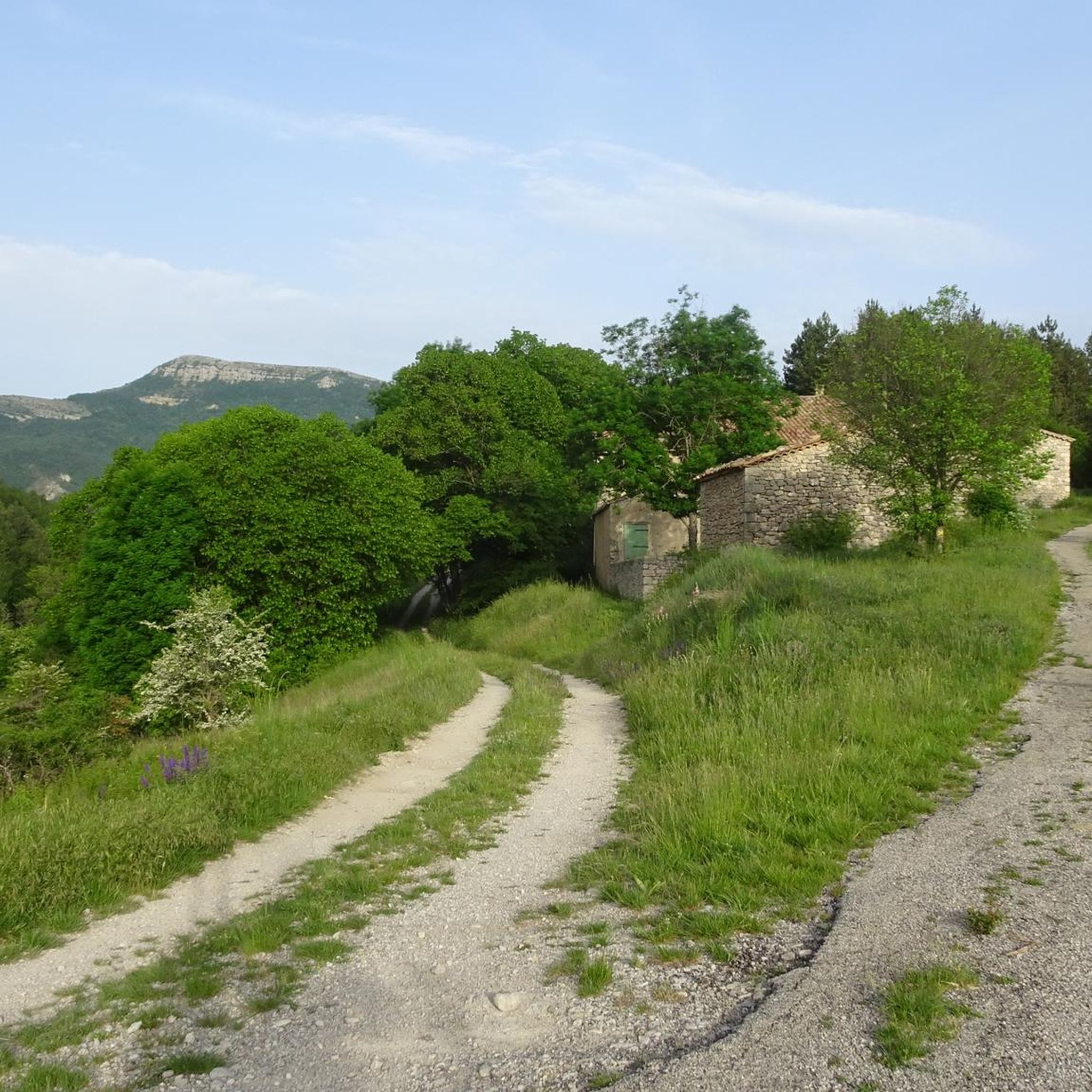
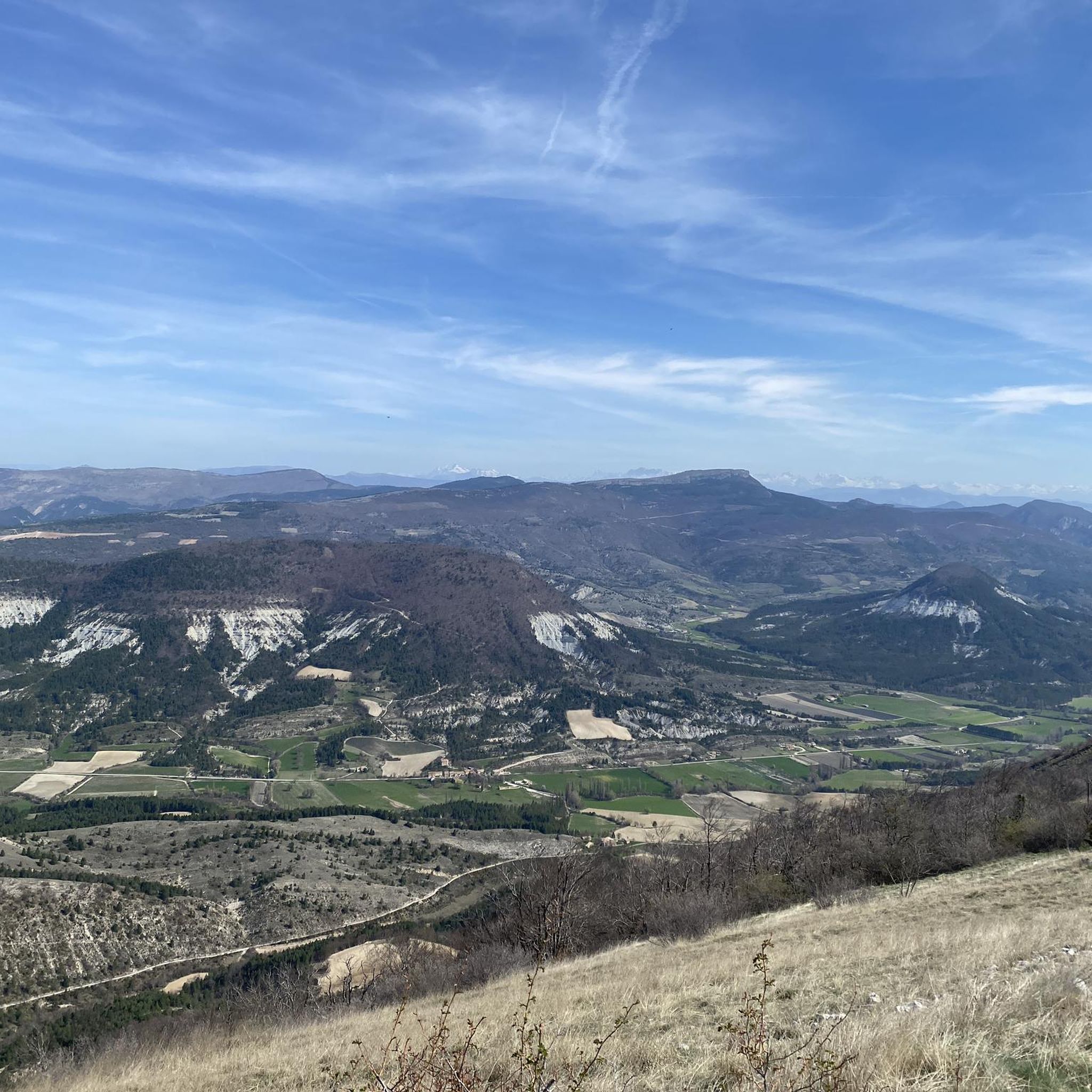
Tips from the Community

Nice pass, not too hard, beautiful view of the Ventoux and the whole valley
0
0

beautiful view of Mont Ventoux and Aulan Castle
1
0

From the summit of Arsuc (1460m), a breathtaking view awaits you.
0
0
The Col de Percy culminates at 1,302 meters above sea level. It offers you a panorama of the surrounding mountains and Mont Ventoux. You can park your car here, if necessary.
0
0
We reach the Col d'Izon, 1342m, after crossing a pine forest.
1
0
In the forest of Tussie, the most observant will have the chance to see the mythical "Venus slipper", an orchid difficult to confuse with another.
2
0

The Col de Perty culminates at 1302 meters. It offers you a breathtaking panorama of the surrounding mountains and Mont Ventoux. Coming from the east the average angle of ascent is 5.59% with a maximum of 7.7% over a distance of 8.5 kilometers. You will then be rewarded for your effort with a very nice descent of more than 20 kilometers towards Buis-les-Baronnies.
0
0

Amazing climb, stunning views of the alps and Ventoux
1
0
Frequently Asked Questions
How many hiking trails are available around Vers-Sur-Méouge?
There are over 30 hiking routes in the Vers-Sur-Méouge area, offering a variety of experiences through mountainous terrain and around prominent peaks. These include options for easy, moderate, and difficult ability levels.
Are there easy hiking trails suitable for beginners or families?
Yes, Vers-Sur-Méouge offers several easy trails. For instance, The mountain of l'Arsuc from the Col de Perty is an accessible 1.3-mile (2.1 km) path starting from a mountain pass, ideal for a shorter, less strenuous walk. There are 8 easy routes in total.
What kind of challenging hikes can I find in Vers-Sur-Méouge?
For those seeking a challenge, the region features trails with significant elevation changes. An example is the Izon Pass – Chamouse Mountain loop from Somécure, a difficult 9.7-mile (15.6 km) route with over 750 meters of ascent, taking you through varied mountain landscapes. There are 5 difficult routes available.
Are there circular hiking routes in the area?
Yes, many trails in Vers-Sur-Méouge are circular, allowing you to start and end at the same point. The Chamouse Mountain – Perty Pass loop from Col de Perty is a popular 6.4-mile (10.3 km) circular trail that takes you around Chamouse Mountain and through mountain passes.
What are the typical durations for hikes in Vers-Sur-Méouge?
Hike durations vary significantly depending on the trail's length and difficulty. Shorter, easy routes like The mountain of l'Arsuc from the Col de Perty can be completed in about 40 minutes, while moderate trails such as the Montagne de Chamouse Loop typically take around 4 hours. Longer, more challenging routes can extend to 5 hours or more.
What attractions or landmarks can I see along the hiking trails?
The region is characterized by its mountainous landscape and numerous passes. You can explore highlights such as Perty Pass, Col de l'Homme Mort, and Macuègne Pass. The nearby village of Montbrun-les-Bains also offers points of interest.
Is parking available at the trailheads?
Parking is generally available at common starting points for hikes, especially near mountain passes like Col de Perty, which serves as a popular access point for several routes. It's advisable to check specific route details for precise parking information.
What do other hikers say about the trails in Vers-Sur-Méouge?
The trails in Vers-Sur-Méouge are highly rated by the komoot community, with an average score of 4.6 stars from over 100 reviews. Hikers often praise the varied terrain, the scenic mountain passes, and the opportunities to explore the natural surroundings.
When is the best time of year to hike in Vers-Sur-Méouge?
The best time to hike in Vers-Sur-Méouge is typically from spring to autumn (April to October) when the weather is mild and the trails are clear. Summer offers warm conditions, while spring and autumn provide pleasant temperatures and vibrant scenery. Winter hiking may be possible but could involve snow and ice, especially at higher elevations.
Are dogs allowed on the hiking trails?
Generally, dogs are welcome on many hiking trails in the Vers-Sur-Méouge region, especially in natural areas. However, it's always recommended to keep them on a leash, especially in areas with livestock or protected wildlife. Check local regulations for specific trails or nature reserves.
Are there any less-trafficked or 'hidden gem' trails?
While popular routes like the Montagne de Chamouse Loop attract many hikers, the region has over 30 trails, offering opportunities to discover quieter paths. Consider exploring routes that start from less prominent access points or those with slightly higher difficulty ratings, as these often see fewer visitors. For example, the Col de Perty – Chamouse Mountain loop from Col de Perty offers a similar experience to the more popular Chamouse Mountain loop but might be less crowded.
Most popular routes around Vers-Sur-Méouge
Most popular attractions around Vers-Sur-Méouge

Get inspired with the komoot mobile app


Explore more
Browse the best Hikes in other regions.
