The best road cycling routes around Montauban-Sur-L'Ouvèze
4.7
(92)
2,415
riders
29
rides
Road cycling around Montauban-Sur-L'Ouvèze offers diverse terrain within the Drôme department of southeastern France. The region is situated in a verdant valley on the banks of the Ouvèze river, at the foot of the Chamouse mountain, and within the Parc naturel des Baronnies provençales. This area is characterized by numerous mountain passes, winding roads, and landscapes featuring moorland, forests, and alpine pastures, alongside distinctive "marnes blanches" geological formations.
Best road cycling routes around Montauban-Sur-L'Ouvèze
- The most popular road cycling route…
Last updated: July 15, 2026
5.0
(6)
638
riders
114km
05:20
1,430m
1,430m
Hard road ride. Very good fitness required. Mostly well-paved surfaces and easy to ride.
5.0
(10)
339
riders
53.0km
02:47
1,020m
1,020m
Hard road ride. Very good fitness required. Mostly well-paved surfaces and easy to ride.

Sign up for free
4.3
(8)
191
riders
62.7km
03:16
1,120m
1,120m
Hard road ride. Very good fitness required. Some segments of this route may be unpaved and difficult to ride.
49
riders
114km
05:30
1,560m
1,560m
Hard road ride. Very good fitness required. Mostly well-paved surfaces and easy to ride.
4.5
(2)
35
riders
49.0km
02:35
870m
870m
Moderate road ride. Good fitness required. Mostly well-paved surfaces and easy to ride.
Get access to more routes and recommendations from other explorers.
Sign up for free
Already have an account?
Our route recommendations are based on thousands of hikes, rides, and runs completed by other people on komoot.
Start today with a free account
Your next adventure awaits.
Login or Signup
Tips from the Community

Building maintained in excellent condition.
8
0
The ascent to Col de la Fromagère / Col de Pommerol from Rosans is located in the Hautes-Alpes region. This ascent is 6.6 km long, with a total elevation gain of 371 m. The average gradient of the ascent to Col de la Fromagère / Col de Pommerol from Rosans is 5.6%.
5
0
The ascent to Col de la Fromagère / Col de Pommerol from Rosans is located in the Hautes-Alpes region. This ascent is 6.6 km long, with a total elevation gain of 371 m. The average gradient of the ascent to Col de la Fromagère / Col de Pommerol from Rosans is 5.6%.
4
0
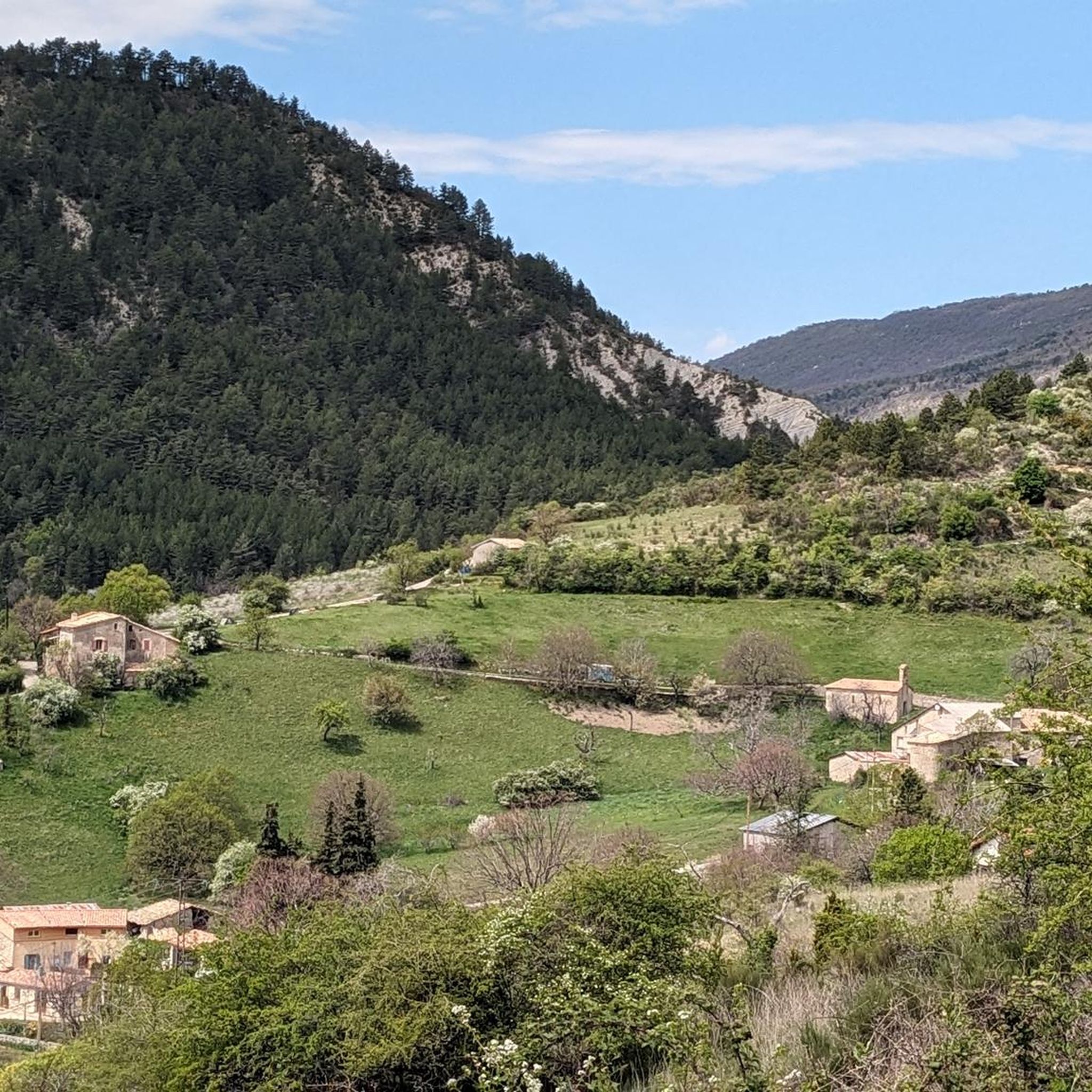
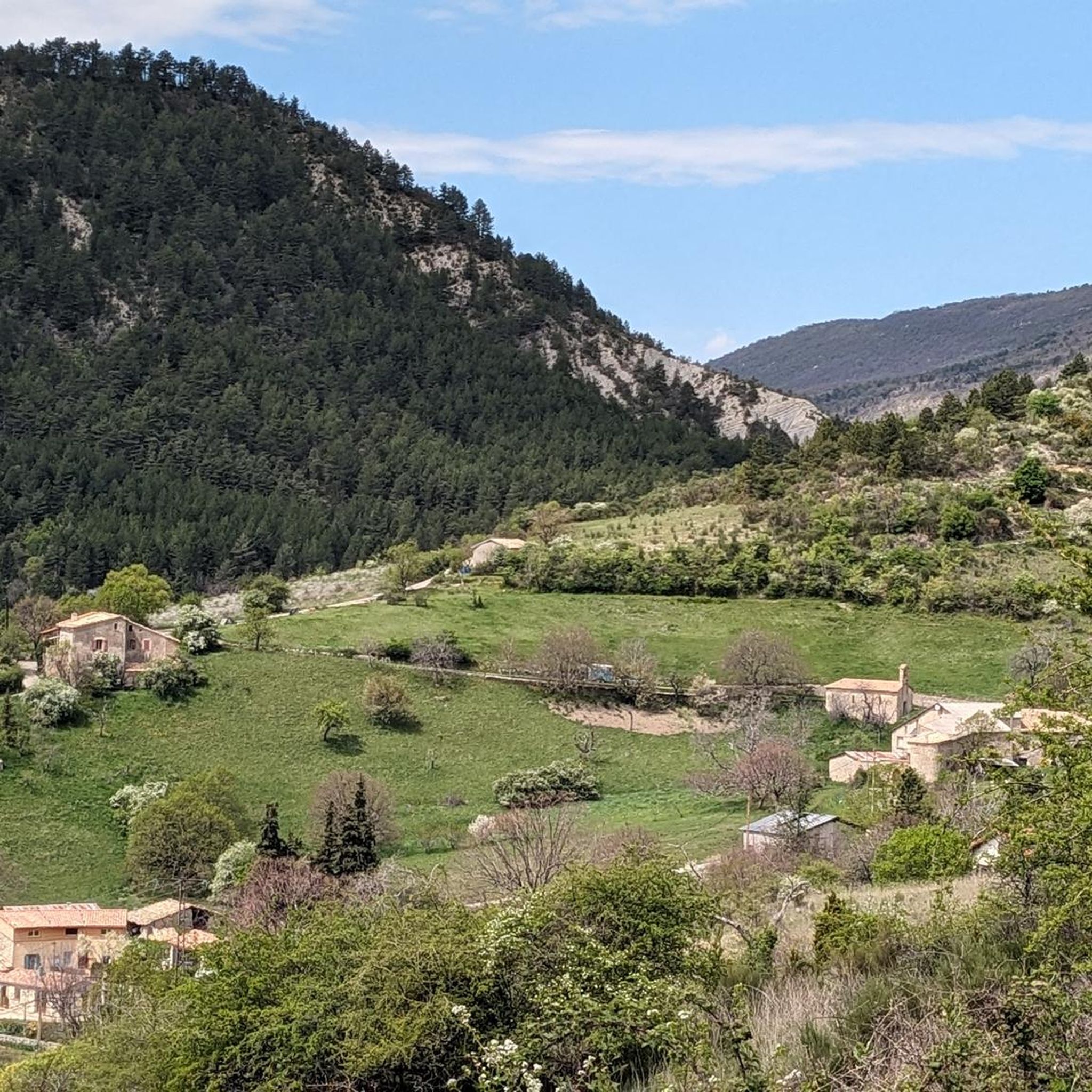
Village surrounded by the Alps.
4
0
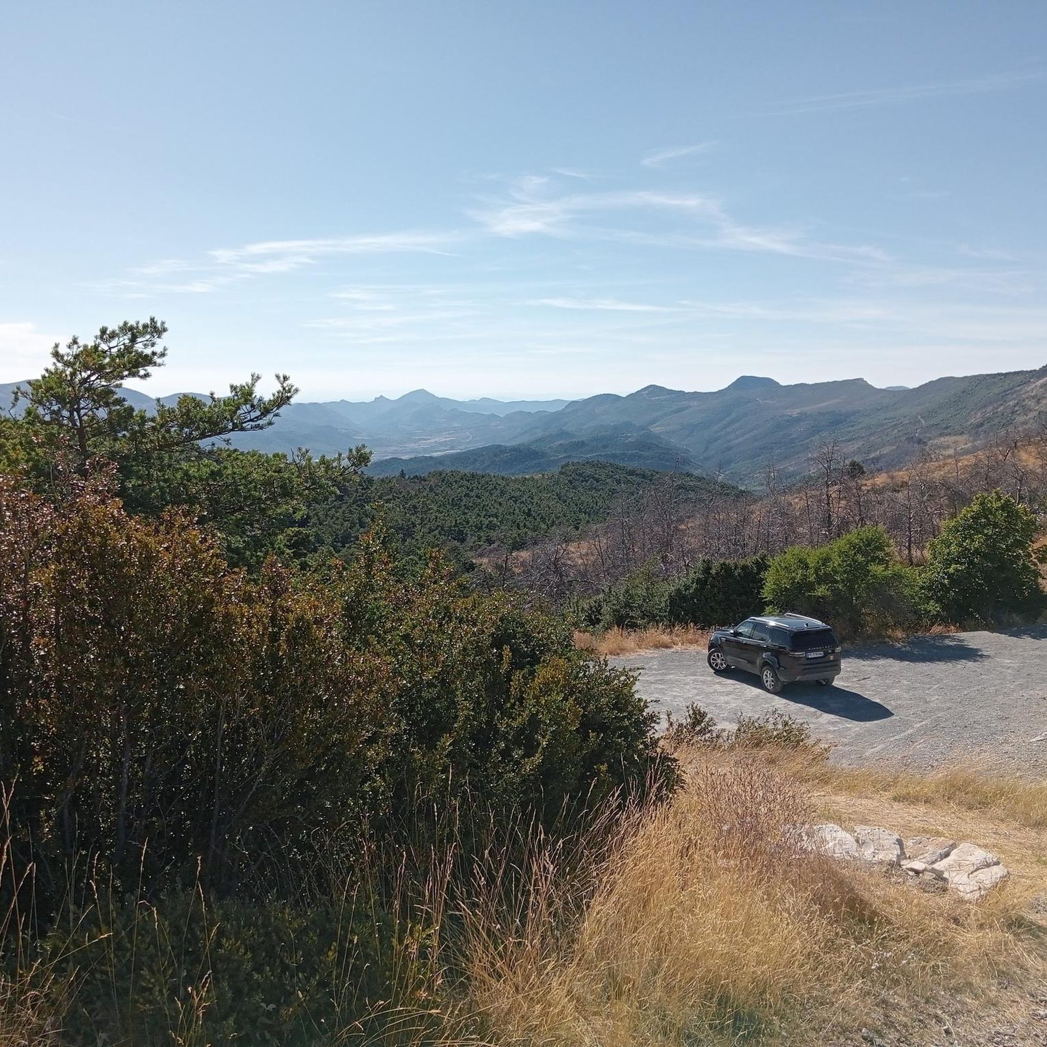
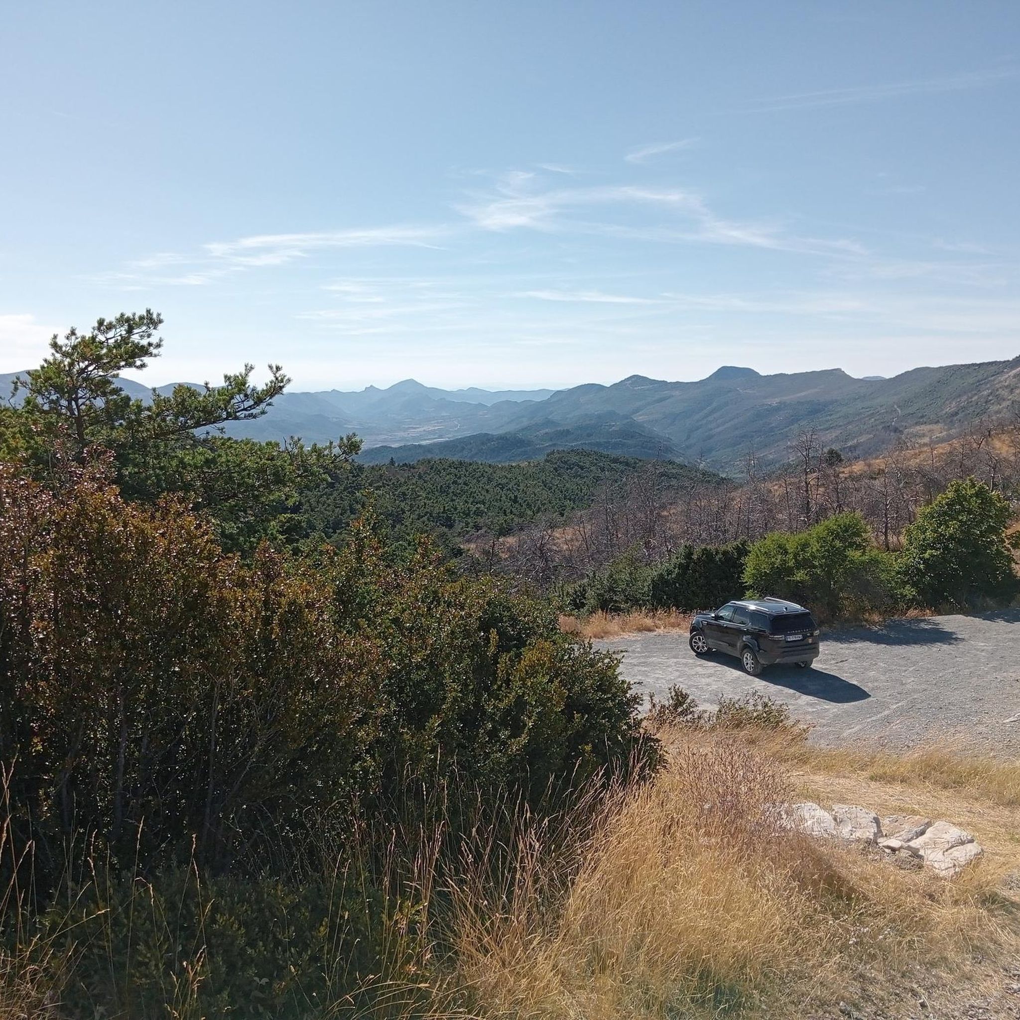
Panoramic viewpoint for memorable photos
10
0
The trends are always simple
10
0
The Col du Reychasset is a pass located at an altitude of 1,052 m, in the Drôme department, within the Regional Natural Park of the Baronnies provençales. It connects the Armalause valley with the Céans valley, between the municipalities of Chauvac-Laux-Montaux and Villebois-les-Pins.
10
0
Frequently Asked Questions
How many road cycling routes are available around Montauban-sur-l'Ouvèze?
There are over 30 road cycling routes in the Montauban-sur-l'Ouvèze region, offering a wide range of options for different skill levels. These routes are highly rated by the komoot community, with an average score of 4.6 stars.
What kind of terrain can I expect when road cycling in Montauban-sur-l'Ouvèze?
The region is characterized by diverse terrain, from verdant valleys along the Ouvèze river to challenging mountain passes. You'll encounter winding roads, moorland, forests, and alpine pastures, with significant elevation changes as you traverse the Baronnies Provençales. The distinctive "marnes blanches" (white marl) geological formations also add to the unique landscape.
Are there any challenging road cycling routes with significant elevation gain?
Yes, the area is known for its mountain passes. For a demanding ride, consider the Col d'Aulan – Gorges d'Aulan loop from Séderon, which is a difficult 114 km route with over 1,400 meters of elevation gain. Another challenging option is the COL DE POMMEROL – La Charce Castle loop from Les Viarrands, covering 62.6 km with over 1,100 meters of ascent.
What are some notable landmarks or viewpoints along the road cycling routes?
Many routes offer panoramic views. You can pass by significant mountain passes like Perty Pass, which offers breathtaking views of Mont Ventoux, or Saint-Jean Pass, providing expansive views of the Baronnies massif. The region also features charming hamlets with chapels and fountains, and the historic town of Montbrun-les-Bains.
Are there any moderate road cycling routes suitable for intermediate cyclists?
Absolutely. A popular moderate route is the Saint-Jean Pass – Orpierre loop from Eygalayes, a 63.2 km path that traverses varied terrain and offers great views. Another option is the Old town of Buis-les-Baronnies – Rocher du Saint Julien loop from Saint-Auban-sur-l'Ouvèze, a 44.1 km route with moderate elevation.
What is the best time of year for road cycling in Montauban-sur-l'Ouvèze?
The region generally offers pleasant cycling conditions from spring through autumn. Spring brings blooming landscapes, while autumn provides cooler temperatures and vibrant colors. Summer can be warm, especially in the valleys, but the higher mountain passes offer a refreshing escape. Always check local weather forecasts before heading out.
Are there any circular road cycling routes in the area?
Yes, many of the routes are designed as loops, allowing you to start and finish in the same location. Examples include the Col d'Aulan – Gorges d'Aulan loop from Séderon and the Col de l'Homme Mort – Montbrun-les-Bains loop from Séderon, both offering comprehensive circular experiences.
What do other road cyclists enjoy most about cycling in Montauban-sur-l'Ouvèze?
The komoot community highly rates the road cycling experience here, with an average score of 4.6 stars. Reviewers often praise the stunning panoramic views from mountain passes, the variety of terrain, and the quiet, winding roads that make for an immersive cycling adventure through the Baronnies Provençales.
Are there any specific mountain passes that are particularly popular for road cyclists?
Yes, several passes are renowned among cyclists. The Perty Pass is a favorite, known for its winding road lined with lime trees and views of Mont Ventoux. Other popular passes include Saint-Jean Pass and Macuègne Pass, which is noted for its low traffic.
Where can I find amenities like cafes or places to rest along the routes?
While many routes traverse rural areas, you'll find amenities in the various villages and towns scattered throughout the region. Montauban-sur-l'Ouvèze itself, along with nearby settlements like Montbrun-les-Bains or Buis-les-Baronnies, offer cafes, restaurants, and accommodation options. Planning your route with komoot can help identify these points.
Is Montauban-sur-l'Ouvèze suitable for beginner road cyclists?
While the region is known for its mountain passes, there are also routes with less demanding elevation. It's best for beginners to look for routes explicitly rated as 'easy' or 'moderate' and to check the elevation gain before setting out. There are a few easier routes available, but many are geared towards intermediate to difficult levels.
Most popular routes around Montauban-Sur-L'Ouvèze
Most popular attractions around Montauban-Sur-L'Ouvèze

Get inspired with the komoot mobile app


Explore more
Browse the best Road cycling routes in other regions.
