The best walks and hikes around Vercoiran
4.5
(964)
5,111
hikers
193
hikes
Hiking around Vercoiran offers diverse terrain, characterized by scenic gorges, rolling hills, and river valleys. The region provides a variety of trails suitable for different skill levels, from gentle loops to more challenging ascents. These hiking trails near Vercoiran allow exploration of the local natural features and historical sites.
Best hiking trails around Vercoiran
- The most popular hiking route is Ubrieux Gorge – Joli chemin ombragé loop from Ubrieux, a 4.8 miles (7.7 km) trail that takes 2 hours…
Last updated: October 11, 2026
4.4
(9)
40
hikers
Moderate hike. Good fitness required. Easily-accessible paths. Suitable for all skill levels.
4.1
(8)
27
hikers
10.0km
03:17
450m
450m
Moderate hike. Good fitness required. Easily-accessible paths. Suitable for all skill levels.

4.1
(8)
25
hikers
8.55km
02:38
300m
300m
Moderate hike. Good fitness required. Easily-accessible paths. Suitable for all skill levels.
5.0
(1)
26
hikers
11.6km
03:40
450m
450m
Moderate hike. Good fitness required. Easily-accessible paths. Suitable for all skill levels.
4.0
(1)
12
hikers
16.8km
05:26
730m
730m
Hard hike. Very good fitness required. Easily-accessible paths. Suitable for all skill levels.
Get access to more routes and recommendations from other explorers.
Already have an account?
Our route recommendations are based on thousands of hikes, rides, and runs completed by other people on komoot.
Start today with a free account
Your next adventure awaits.

Tips from the Community

For cyclists it's a climb: * Length: approx. 7 km * Elevation gain: approx. 320 m * Average gradient: 4.6% * Maximum gradient: approx. 5%
8
0
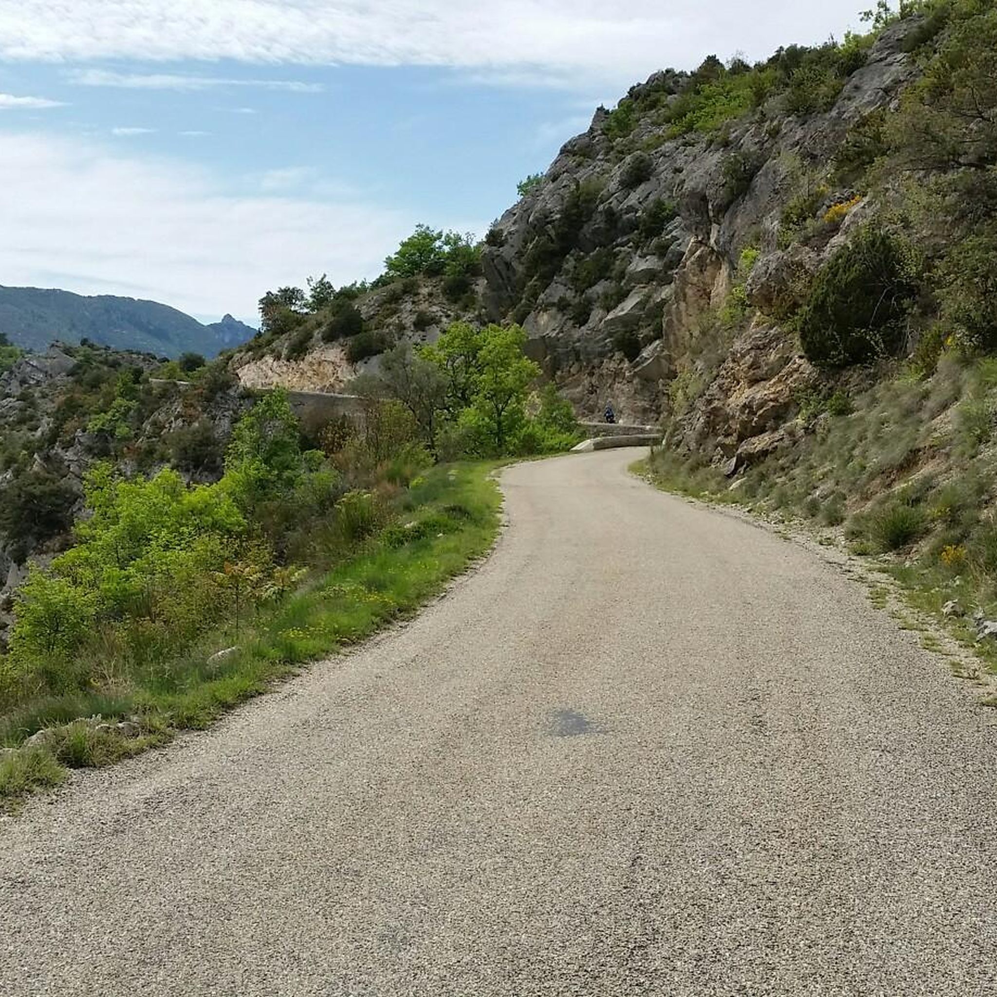
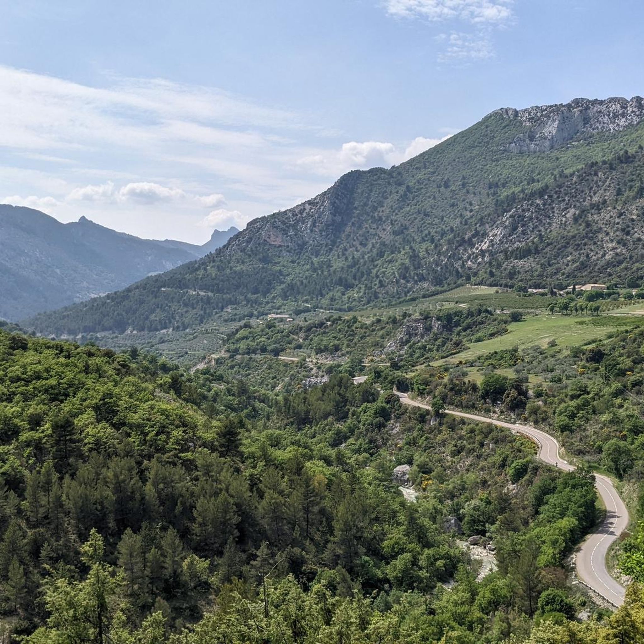
The Col de Peyruergue (794 m) is a pass located in the Drôme department, within the Parc naturel régional des Baronnies provençales. It connects the Ennuye valley with that of the Ouvèze, near Saint-Sauveur-Gouvernet.
10
0

Nice village, where to eat and charge your batteries
0
0

Moderate gradient, beautiful views, and a wonderful descent towards St. Auban sur Ouveze
0
1


Nice loop on varied terrain, beautiful views. But random or even non-existent marking. As well as paths annexed by farmers in their fields
0
0


Leaving from Saint-Sauveur-Gouvernet, the Col de Peyruergue is 7km long with 300m of elevation gain. The average gradient of the climb is 4.57%. This pass is the eastern gateway to the Ennuye valley.
0
0
Frequently Asked Questions
How many hiking trails are available around Vercoiran?
Vercoiran offers a wide variety of hiking experiences, with over 180 trails recorded on komoot. These range from easy strolls to more challenging ascents, catering to different fitness levels.
Are there easy hiking trails suitable for beginners or families in Vercoiran?
Yes, Vercoiran has approximately 40 easy hiking routes, perfect for beginners or families with children. These trails often feature gentle gradients and scenic paths through the region's diverse landscape of hills and river valleys.
What is the typical length of hiking trails around Vercoiran?
The hiking trails around Vercoiran vary significantly in length. Many popular routes, like the Ubrieux Gorge – Joli chemin ombragé loop from Ubrieux, are around 4-5 miles (6-8 km), taking a few hours to complete. However, you can also find longer routes, such as the Col d'Oure (813 m) – Col d'Ey loop from Bésignan, which is over 7 miles (12 km).
When is the best time of year to go hiking in Vercoiran?
The best time for hiking in Vercoiran is typically spring (April to June) and autumn (September to October). During these seasons, the weather is pleasant, and the landscapes are vibrant with wildflowers or autumn colors. Summer can be hot, especially in July and August, so early morning or late afternoon hikes are recommended then. Winter hiking is possible but requires appropriate gear for colder temperatures and potential snow at higher elevations.
Are dogs allowed on hiking trails around Vercoiran?
Generally, dogs are welcome on most hiking trails in the Vercoiran region, provided they are kept on a leash, especially in areas with livestock or protected wildlife. Always ensure your dog is under control and that you clean up after them to preserve the natural environment for everyone.
What kind of natural attractions can I see along the hiking trails?
The Vercoiran region is rich in natural beauty. Hikers can explore stunning gorges like The Toulourenc Valley and Gorges de Saint-May. You'll also encounter various mountain passes such as Col d'Ey and Fontaube Pass, offering panoramic views. Some routes even lead to unique geological formations like the Ascent to the Saint-Julien Rock.
Are there any circular walks available in Vercoiran?
Yes, many of the hiking routes around Vercoiran are designed as circular walks, allowing you to start and end at the same point without retracing your steps. An example is the Saint-Auban-sur-l'Ouvèze loop from Sainte-Euphémie-sur-Ouvèze, which takes you through the scenic Ouvèze valley.
What do other hikers enjoy the most about hiking in Vercoiran?
The hiking experience in Vercoiran is highly rated by the komoot community, with an average score of 4.5 stars from over 800 reviews. Hikers often praise the diverse terrain, from shaded gorge paths to open mountain views, and the well-maintained trails that offer a mix of challenge and accessibility.
What kind of hiking gear is recommended for trails in Vercoiran?
For hiking in Vercoiran, sturdy hiking shoes or boots with good ankle support are essential, especially for routes with varied terrain. Depending on the season, layers of clothing are advisable, along with sun protection (hat, sunscreen) in summer. Always carry enough water, snacks, a map or GPS device, and a first-aid kit.
Is parking generally available at trailheads in Vercoiran?
Parking availability varies by trailhead. In many villages and popular starting points, you'll find designated parking areas, often free. For more remote trailheads, roadside parking might be an option, but it's always best to check local signage and be mindful of private property and agricultural access.
Are there any historical sites or landmarks to explore while hiking?
Beyond natural wonders, some trails in Vercoiran pass by historical points of interest. For instance, the Castle ruins loop from La Roche-sur-le-Buis offers a glimpse into the region's past. While specific historical highlights are not detailed for every route, the area's villages and older structures often provide a sense of local history.
Most popular routes around Vercoiran
Most popular attractions around Vercoiran

Get inspired with the komoot mobile app


Explore more
Browse the best Hikes in other regions.
