The best running trails around Haux
4.3
(59)
1,913
runners
173
runs
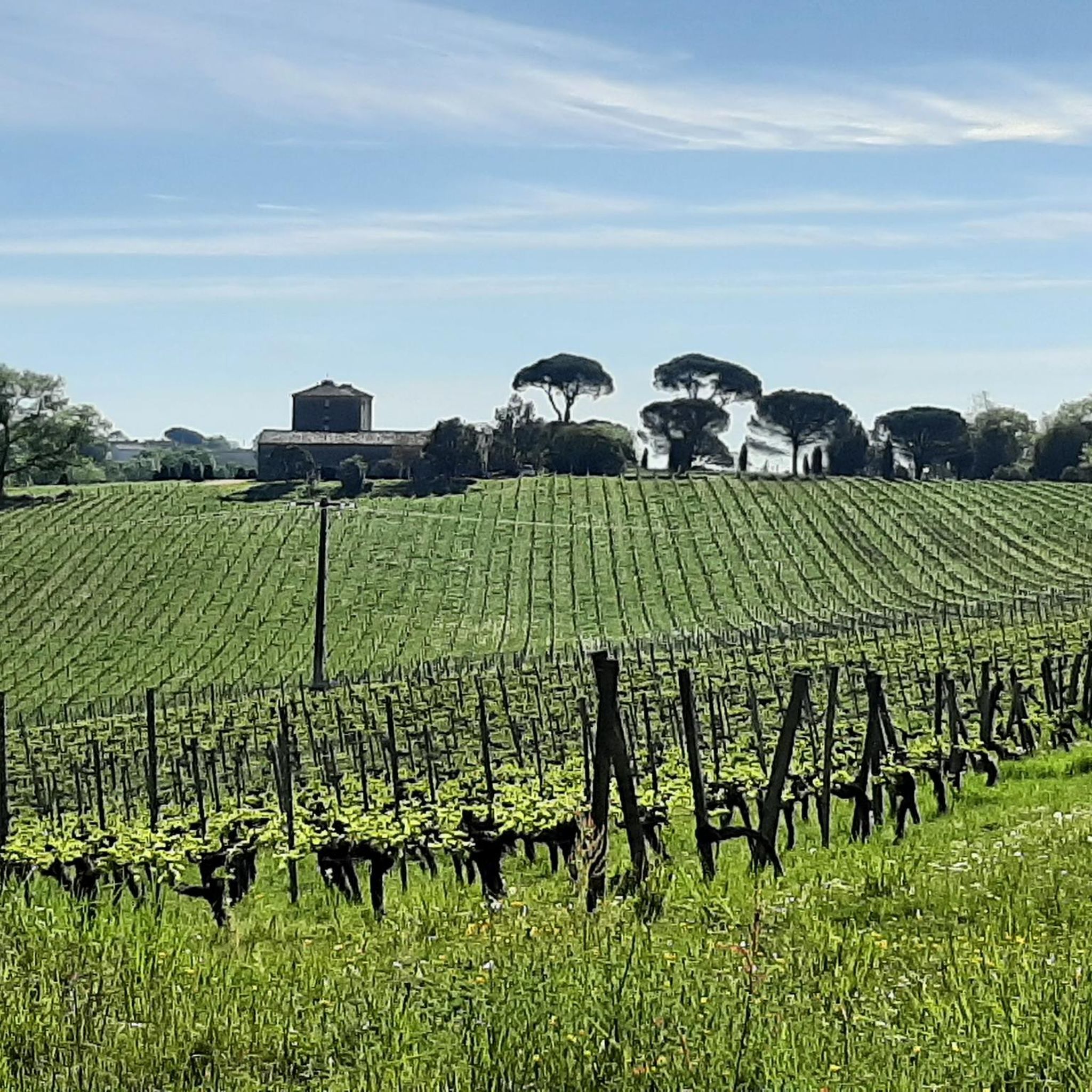
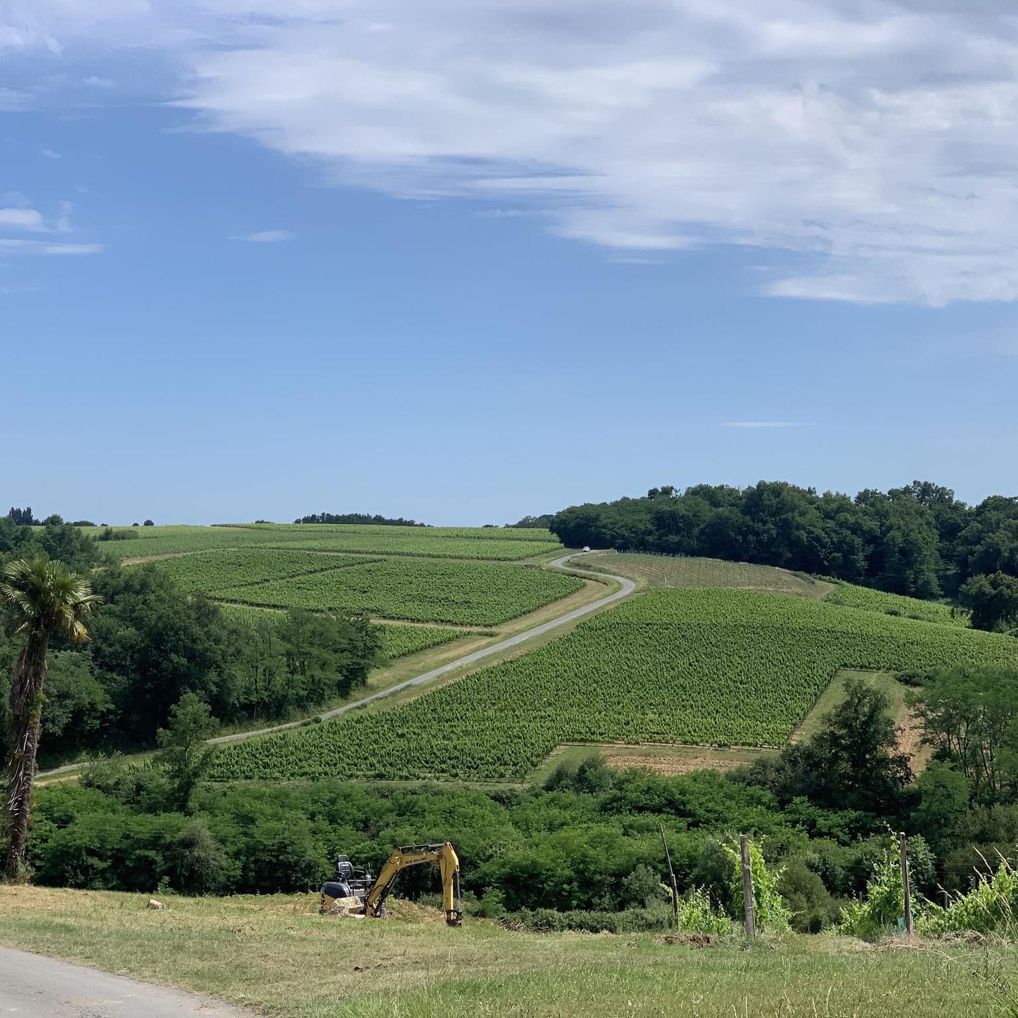
Jogging around Haux offers a diverse landscape for runners, situated within the mountainous terrain of the Basque Mountains. The region features varied topography, with altitudes ranging significantly and prominent hills like Mont Begousse. Runners can explore routes alongside the Appaniche stream and through natural forests, providing a mix of challenging and scenic paths. This environment is ideal for trail running, offering a rich setting for outdoor activity.
Best jogging routes around Haux
- The most popular jogging route is Roger Lapébie…
Last updated: June 29, 2026
51
runners
18.0km
01:54
90m
90m
Hard run. Very good fitness required. Mostly paved surfaces. Suitable for all skill levels.
4.0
(2)
36
runners
27.1km
03:08
550m
550m
Hard run. Very good fitness required. Mostly paved surfaces. Suitable for all skill levels.

Sign up for free
60
runners
9.69km
01:00
60m
60m
Moderate run. Good fitness required. Mostly paved surfaces. Suitable for all skill levels.
5.0
(2)
20
runners
5.31km
00:34
40m
40m
Moderate run. Good fitness required. Mostly paved surfaces. Suitable for all skill levels.
16
runners
16.1km
01:40
130m
130m
Hard run. Very good fitness required. Mostly paved surfaces. Suitable for all skill levels.
Get access to more routes and recommendations from other explorers.
Sign up for free
Already have an account?
Our route recommendations are based on thousands of hikes, rides, and runs completed by other people on komoot.
Start today with a free account
Your next adventure awaits.
Login or Signup



Tips from the Community

Nice picnic spot right on the bike path
0
0

Superb 50 km cycle path through the forest and vineyards
0
0

Beautiful passage with a train relic recalling the history of the place, formerly a railway.
0
0

At the Creon station, several information panels about the history of the railway line are offered, and wagons and engines that operated on this line can be seen.
0
0
Good place for a coffee, crepes.. or lunch.
0
0

it hurts my legs 🥴
0
0

Frequently Asked Questions
How many running routes are available in Haux?
Haux offers a wide variety of running routes, with over 160 different trails to explore. These routes cater to various fitness levels, from easy jogs to challenging long-distance runs.
Are there routes suitable for beginners or those looking for an easy run in Haux?
Yes, Haux has several options for easier runs. There are 12 routes specifically categorized as easy, providing gentle terrain for beginners or those seeking a relaxed jog. Many moderate routes also offer accessible sections.
What kind of terrain can I expect on running trails around Haux?
The running trails around Haux are characterized by diverse terrain, reflecting its location within the Basque Mountains. You can expect varied topography, including mountainous sections, natural forests, and paths alongside streams like the Appaniche. This provides a mix of challenging inclines and scenic, shaded paths.
Are there any challenging or long-distance running options in the Haux area?
Absolutely. For experienced runners seeking a challenge, Haux offers 19 difficult routes. One notable option is the Langoiran loop from Langoiran, a difficult 16.8-mile (27.1 km) path featuring significant elevation gain, characteristic of the region's mountainous landscape. Another is the Créon Bike Station – View over La Sauve loop from Créon, which is 11.8 miles (19.0 km) long and also rated difficult.
Can I find circular jogging routes in Haux?
Yes, many of the running routes in Haux are designed as loops, allowing you to start and finish in the same location. For example, the View over La Sauve loop from Créon is a popular 6.0-mile (9.7 km) circular trail offering scenic landscapes.
What are some scenic running routes with good views in Haux?
The mountainous terrain around Haux naturally provides many scenic viewpoints. Routes like the View over La Sauve loop from Créon offer picturesque landscapes. The region's forests and streams also contribute to beautiful surroundings for your run.
Are there any specific attractions or landmarks I can see while jogging in Haux?
While jogging in Haux, you can encounter several interesting points. The Espiet tunnel is a unique feature along some paths. You might also run along sections of the Roger Lapébie Cycle Path, which is a well-known greenway. The broader region also features natural landmarks like Mont Begousse and the Holzarte Footbridge, which can be incorporated into longer excursions.
Is Haux a good destination for trail running events?
Yes, Haux is well-regarded for trail running, even hosting events like the 'Trail de Haux'. This indicates the area's suitability and popularity for challenging runs, often featuring muddy sections and river crossings that immerse participants in the natural environment. The established routes used for such events are often accessible for individual joggers too.
What do other runners say about the jogging routes in Haux?
The running routes in Haux are highly rated by the komoot community, with an average score of 4.3 stars from over 60 reviews. More than 1,800 runners have used komoot to explore Haux's varied terrain, often praising the diverse landscapes and the mix of challenging and scenic paths.
Are there dog-friendly running trails in Haux?
While specific regulations for dogs on trails can vary, many natural trails in the Haux region are generally accessible for dogs, especially if kept on a leash. It's always advisable to check local signage or specific route descriptions for any restrictions before heading out with your canine companion.
Are there family-friendly jogging routes in Haux?
For families, the easier and moderate routes in Haux are generally suitable. Paths that follow greenways, like sections of the Roger Lapébie trail, often provide consistent surfaces and gentler inclines, making them more enjoyable for family outings. Always check the route difficulty and length to ensure it matches your family's capabilities.
How can I access the running trails in Haux, particularly regarding parking or public transport?
Access to trails in Haux typically involves driving to a starting point, with parking often available near villages or trailheads. For example, routes starting from Créon or Langoiran would likely have parking options. Public transport access to specific trailheads might be limited due to the region's rural and mountainous nature, so planning your journey by car is often the most convenient option.
Are there places to refuel or relax near the running routes in Haux?
Yes, some routes pass by or are close to places where you can refuel. For instance, the Roger Lapébie trail – Bistrot de la Pimpine loop from Créon includes the Bistrot de la Pimpine, offering a convenient stop. Exploring villages near trailheads can also reveal local cafes or shops.
Most popular attractions around Haux

Get inspired with the komoot mobile app


Explore more
Browse the best Running Trails & Routes in other regions.
