The best MTB trails around Wörth An Der Sauer
4.5
(65)
351
riders
35
rides
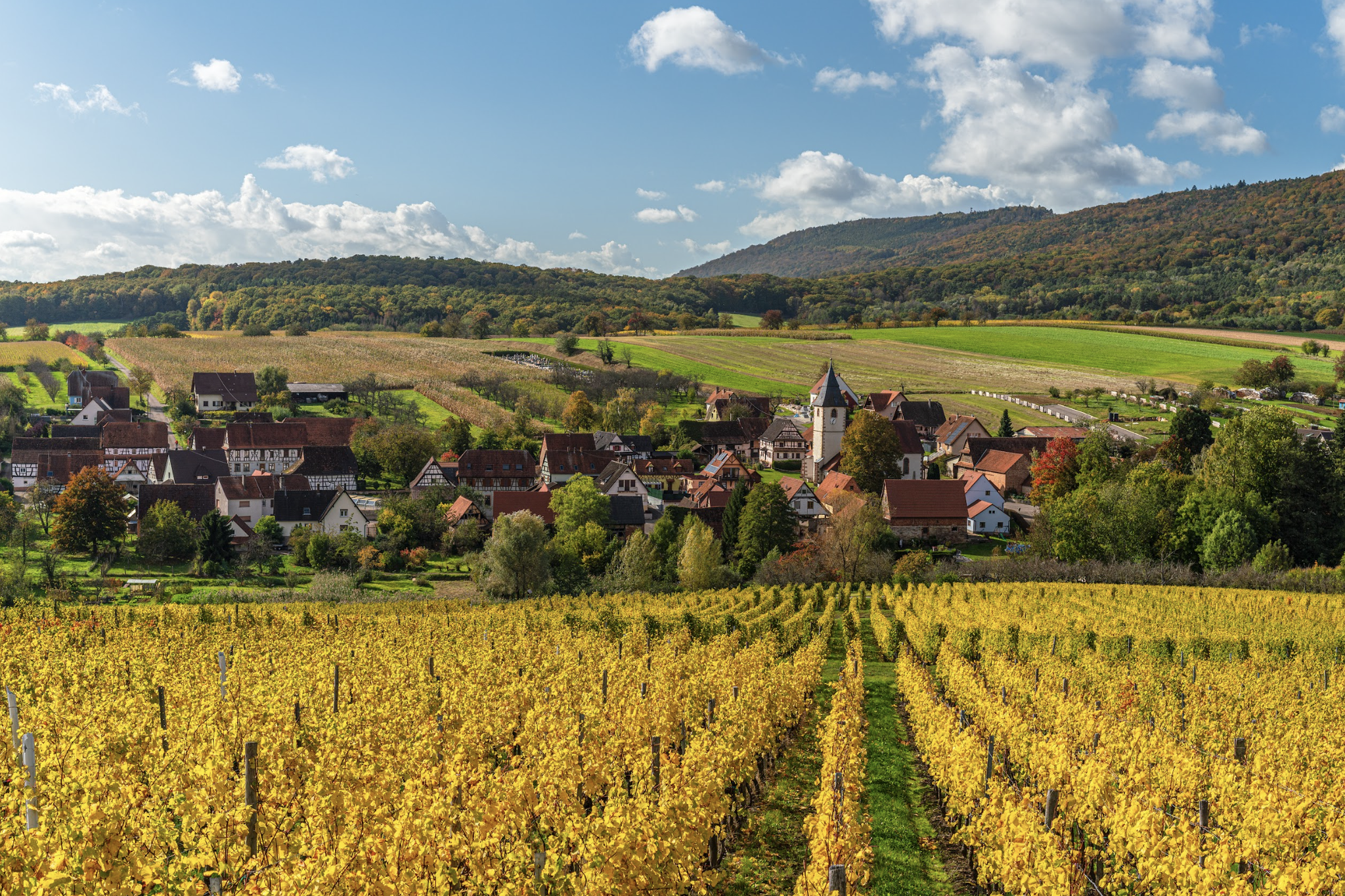
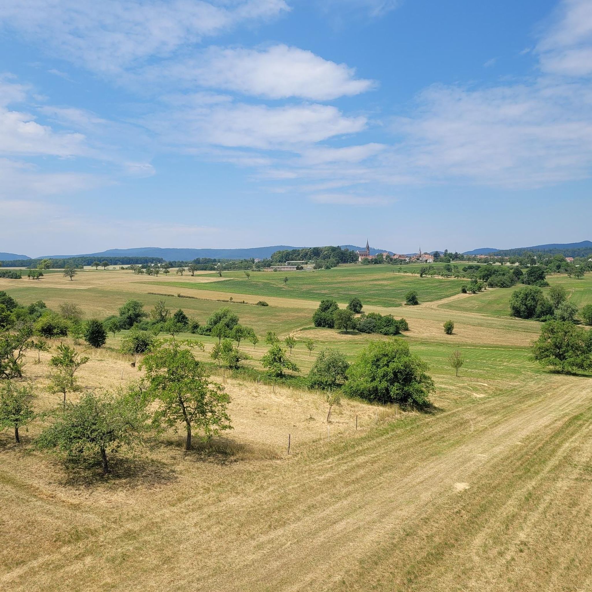
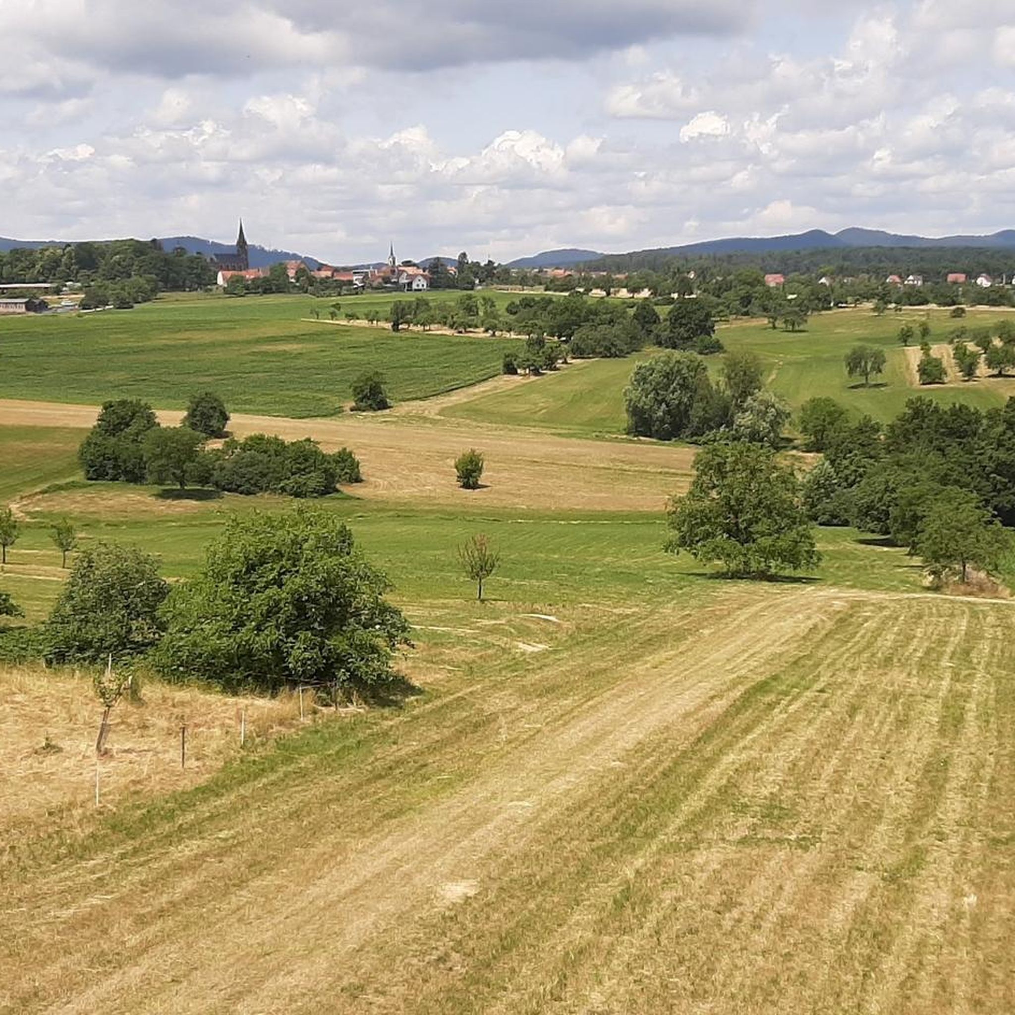
Mountain bike trails around Wörth an der Sauer are set within the diverse landscapes of the Alsace region, characterized by the forested slopes of the Vosges Mountains and the Sauer Valley. The terrain features a mix of dense forests, rolling hills, and varied elevations, providing a dynamic environment for mountain biking. This area offers paths that wind through natural beauty and past historical sites, including remnants of old castles. The region's geology contributes to a varied riding experience, from accessible…
Last updated: October 12, 2026
4.2
(6)
39
riders
37.6km
03:16
730m
730m
Moderate mountain bike ride. Good fitness required. Suitable for all skill levels.
4.4
(5)
30
riders
48.6km
04:18
960m
960m
Hard mountain bike ride. Very good fitness required. Advanced riding skills necessary.

4.9
(8)
24
riders
47.9km
03:56
780m
780m
Moderate mountain bike ride. Good fitness required. Advanced riding skills necessary.
4.0
(2)
21
riders
47.5km
03:58
850m
850m
Hard mountain bike ride. Good fitness required. Advanced riding skills necessary. Some portions of the route may require you to push your bike.
4.0
(1)
14
riders
36.7km
02:10
340m
340m
Moderate mountain bike ride. Good fitness required. Advanced riding skills necessary.
Get access to more routes and recommendations from other explorers.
Already have an account?
Our route recommendations are based on thousands of hikes, rides, and runs completed by other people on komoot.
Start today with a free account
Your next adventure awaits.

Other adventures around Wörth An Der Sauer

Tips from the Community

interesting path, steeper than expected, but useful as a shortcut
0
0

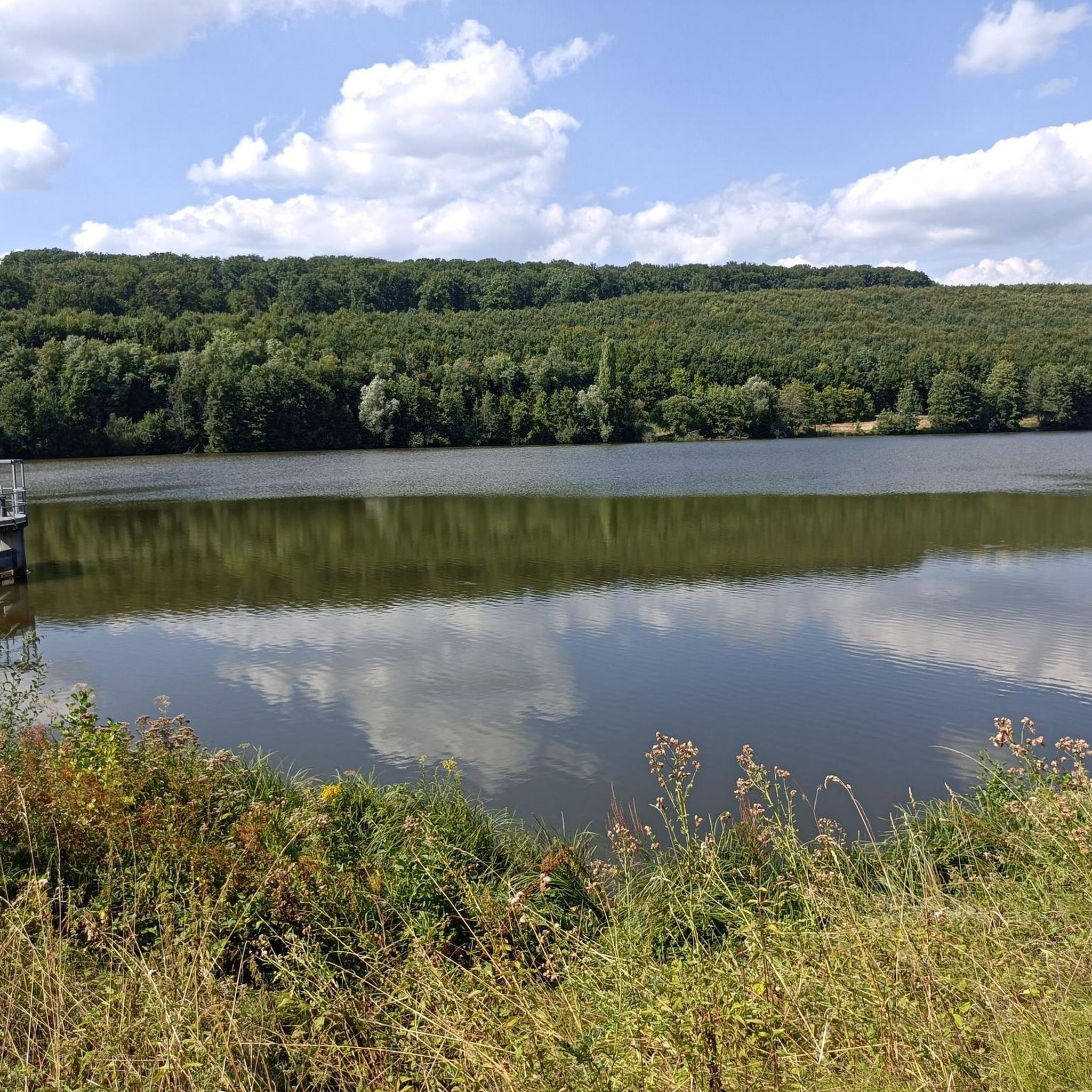
From here you can walk around the l'Étang Fleckenstein, with a small part of the path running along the road. If you wish, you can take the leisurely path to the Château Fort du Fleckenstein via Gimbelhof, or a steep, shorter path at the other end of the pond. The public, free car park and also the paths to the Château are on the other side of the road; - not on the side of the pond. A circular route to the former fortress is just under 7 km long.
0
0

Apart from walking around it once, there is nothing more you can do at this heavily decayed ruin. It would also be far too complex and expensive to invest anything here anymore.
7
0
The castle is being gradually restored by the support association with professional stonemasons. There is a room with a wood-burning stove and plexiglass panes that can be heated for the helpers. A barbecue area has also been set up in the former castle moat with a covered hut for the restorers.
5
0

a cycling route as we like them. Quiet, in beautiful nature, shaded. Magnificent
0
0

A place worth seeing, a good place to take a break
0
0

It's incredible that the gable walls and columns from the 16th century are still standing today.
1
0

Absolutely beautiful! When we were there, the area was wonderfully empty.
0
0
Frequently Asked Questions
What kind of terrain can I expect on mountain bike trails around Wörth an der Sauer?
The mountain bike trails in this region offer a diverse experience, characterized by the forested slopes of the Vosges Mountains and the scenic Sauer Valley. You'll find a mix of dense forests, rolling hills, and varied elevations. The terrain ranges from accessible paths suitable for all skill levels to more challenging single trails with technical descents and rock gardens, providing a dynamic environment for mountain biking.
Are there mountain bike trails suitable for beginners or families in Wörth an der Sauer?
Yes, the area offers trails for various abilities. While many routes are moderate, there are 9 easy mountain bike tours available. These paths are generally less demanding and can be a good option for those new to mountain biking or families looking for a more relaxed ride through the picturesque landscapes.
What are the more challenging mountain bike trails like around Wörth an der Sauer?
For experienced riders seeking an adrenaline rush, there are 7 difficult mountain bike trails around Wörth an der Sauer. These routes often feature more significant elevation changes, technical descents, and potentially rock gardens or other obstacles, requiring good fitness and advanced riding skills. An example of a challenging route is the Soultzerkopf Viewpoint – Fleckenstein Castle loop from Gœrsdorf, which covers nearly 49 km with almost 1000 meters of elevation gain.
What historical landmarks or viewpoints can I see along the mountain bike trails?
The trails often weave through areas rich in history and offer stunning views. You can encounter historical sites like the ruins of old castles and remnants of the Maginot Line. Notable castles in the vicinity include Hohenbourg Castle, Château du Loewenstein, and Fleckenstein Castle. Some routes, like the Woerth and the Sauer – View of the Black Forest loop from Wœrth, even offer panoramic views towards the Black Forest.
Are there any circular mountain bike routes available?
Yes, many of the mountain bike routes around Wörth an der Sauer are designed as loops, allowing you to start and finish in the same location. Examples include the Ruins of the Jaegerthal forge – Old Windstein Castle loop from Gœrsdorf and the Soultzerkopf Viewpoint – Maginot Line Bunker loop from Wœrth, both offering engaging circular journeys through the region's diverse landscapes.
What do other mountain bikers enjoy most about the trails in Wörth an der Sauer?
The mountain bike trails around Wörth an der Sauer are highly rated by the komoot community, with an average score of 4.6 stars from over 70 reviews. Riders often praise the varied terrain, the scenic beauty of the Vosges Mountains and Sauer Valley, and the opportunity to combine natural exploration with historical discovery, such as passing by castle ruins and war memorials.
When is the best time of year for mountain biking in Wörth an der Sauer?
The Alsace region, where Wörth an der Sauer is located, offers good mountain biking conditions through much of the year. Spring and autumn are particularly pleasant, with milder temperatures and vibrant natural scenery. Summer can also be great, especially in the forested areas which provide shade. Always check local weather conditions before heading out, as some trails might be affected by heavy rain or snow in winter.
Are there options for food or accommodation along the mountain bike routes?
While specific cafes or pubs directly on every trail are not guaranteed, the region is known for its charming villages with colorful half-timbered houses. These villages, often found along the routes or nearby, provide opportunities for cultural experiences, including local eateries and accommodation options. The broader Alsace region is well-equipped with infrastructure for visitors.
What are the typical distances and elevations of mountain bike trails in this area?
The mountain bike trails around Wörth an der Sauer vary significantly in length and elevation. Moderate routes often range from 34 km to 48 km, with elevation gains between 600 and 800 meters. For example, the Schoeneck Castle – Wasigenstein Castle loop from Wœrth is 48 km long with about 795 meters of ascent. More difficult trails can exceed these figures, offering longer distances and greater climbs.
Is it possible to reach the mountain bike trailheads using public transport?
While specific public transport links to every trailhead might vary, Wörth an der Sauer is situated in the Alsace region, which has a developed transport network. For detailed information on reaching specific starting points by public transport, it's advisable to consult local transport schedules or plan your route using a journey planner that includes public transport options in the region.
Are there any specific permits required for mountain biking in the Wörth an der Sauer area?
Generally, mountain biking on designated trails in the Alsace region does not require specific permits for individual riders. However, it's always good practice to respect local regulations, especially when riding through protected natural areas or private land. Adhere to marked trails and signage to ensure a smooth and enjoyable experience.
Most popular routes around Wörth An Der Sauer
Most popular attractions around Wörth An Der Sauer

Get inspired with the komoot mobile app


Explore more
Browse the best MTB trails in other regions.
