The best MTB trails around Montaulieu
4.5
(456)
2,401
riders
141
rides
Mountain biking around Montaulieu offers diverse landscapes characterized by mountain passes, canyons, and varied terrain. The region features significant elevation gains, with routes traversing areas like the Col de Fontaube and Col de la Croix rouge. Riders encounter a mix of quiet paved roads, folded rock formations, and scenic routes through vineyards, meadows, lavender fields, and olive groves. Mont Ventoux is visible in the distance, adding to the dramatic scenery.
Best mountain bike trails around Montaulieu
- The most popular mountain…
Last updated: August 23, 2026
4.5
(12)
70
riders
40.5km
03:39
990m
990m
Hard mountain bike ride. Very good fitness required. Suitable for all skill levels.
5.0
(1)
10
riders
Hard mountain bike ride. Very good fitness required. Suitable for all skill levels.

Sign up for free
4.4
(9)
15
riders
35.4km
02:38
760m
760m
Moderate mountain bike ride. Good fitness required. Suitable for all skill levels.
4.5
(2)
16
riders
59.2km
04:07
1,100m
1,100m
Hard mountain bike ride. Very good fitness required. Suitable for all skill levels.
5.0
(3)
11
riders
37.4km
02:53
760m
760m
Moderate mountain bike ride. Good fitness required. Suitable for all skill levels.
Get access to more routes and recommendations from other explorers.
Sign up for free
Already have an account?
Our route recommendations are based on thousands of hikes, rides, and runs completed by other people on komoot.
Start today with a free account
Your next adventure awaits.
Login or Signup
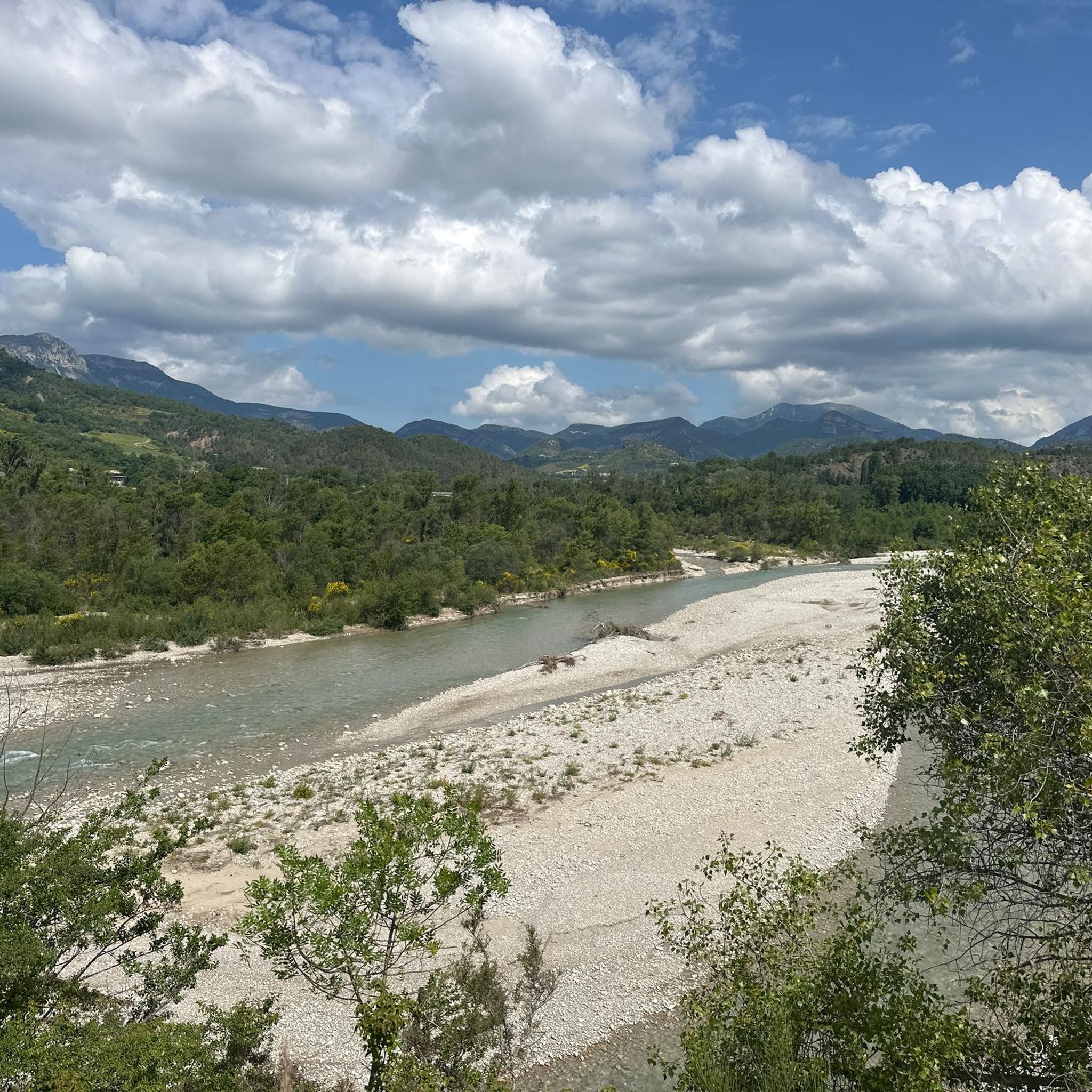
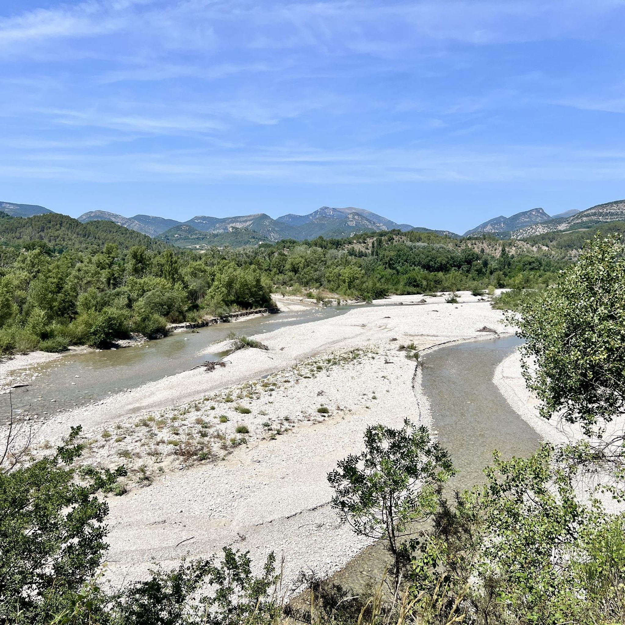
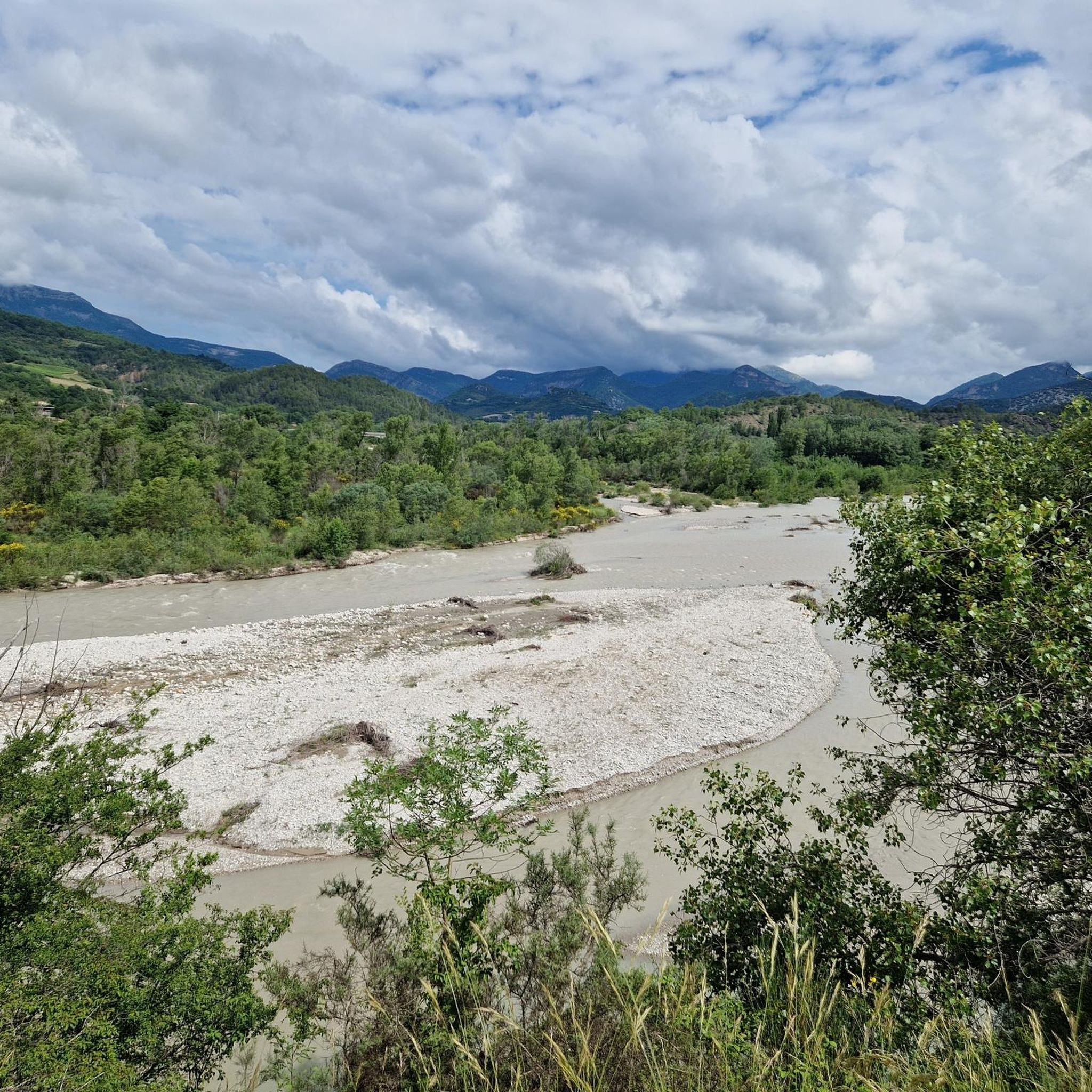

Tips from the Community

Excellent workout for cardio
0
0

Small village, almost squeezed into the river...
0
0

One of the almost obligatory attractions of Nyons, with a beautiful view.
1
1


a short drive from the campsite
0
0

Beautiful quiet road to Montaulieu and then easy gravel road to the col des Lantons
0
0

The Romanesque bridge of Nyons, which crosses the Eygues River, was built between 1399 and 1400. It was inaugurated in 1409 by the Bishop of Vaison. Its two main architects were Guillaume de Pays, a carpenter from Romans, and Jean Felisson, a stonemason from Saint-Robert de Cornillon. While its construction was relatively rapid, its financing took several decades. A "work of the bridge" was already created in 1341. A first prize was awarded in 1361 to Thibaut de Noyx, but it does not appear that he saw its completion: at the end of the 14th century, the Eygues River was crossed using a ferry. Its single arch is one of the largest in France, with a span of 40.50 m and a height of 19 m. This bridge can be compared to the Pont du Roc in Castellane (Alpes-de-Haute-Provence), built by Jean Felisson around 1405, or the Mollans-sur-Ouvèze bridge (Drôme), which may date back to the early 15th century. Listed as a historical monument since 1925, it is the second bridge in France (after the one in Ceret) of such a pure style.
3
1
Frequently Asked Questions
How many mountain bike trails are available around Montaulieu?
There are over 130 mountain bike trails around Montaulieu, offering a wide range of options for different skill levels. The komoot community has explored more than 2,100 of these routes.
What kind of terrain can I expect on mountain bike trails in Montaulieu?
The terrain around Montaulieu is diverse, characterized by mountain passes, canyons, and vineyards. You'll encounter a mix of quiet paved roads, folded rock formations, and scenic routes, with significant elevation gains on many trails.
Are there mountain bike trails suitable for beginners or families in Montaulieu?
Yes, Montaulieu offers trails for various ability levels. While many routes are moderate to difficult, there are at least 6 easy mountain bike trails available. These are generally shorter and have less demanding climbs, making them suitable for beginners or families looking for a gentler ride.
What are some scenic points or natural features to look out for on the trails?
The region is rich in natural beauty. You can ride through areas with magnificent views alongside vineyards and folded rock formations. Notable features include the Col de Fontaube - Scenic route and the Col de la croix rouge (507m). Further afield, the broader region boasts wonders like the Cirque de Navacelles and the Pic Saint-Loup.
Are there any challenging mountain bike routes for experienced riders?
Absolutely. Montaulieu is known for its challenging routes, with 66 trails rated as difficult. An example is the Montaulieu Village – Ridges with pretty view over the Ventoux loop from Les Pilles, a 48 km path with over 1,300 meters of elevation gain, offering views towards Mont Ventoux.
What do other mountain bikers say about the trails in Montaulieu?
The mountain bike trails in Montaulieu are highly rated by the komoot community, with an average score of 4.4 stars from over 380 reviews. Riders often praise the varied terrain, the challenging climbs, and the beautiful scenery encountered along the routes.
Are there any mountain bike trails that pass through interesting villages or near historical sites?
Yes, some routes offer cultural points of interest. For instance, the 16th-century church – Villeperdrix loop from Curnier is a difficult 60.9 km trail that includes a historical church. You might also pass through charming settlements like Faucon.
Can I find loop trails for mountain biking in Montaulieu?
Many of the mountain bike trails around Montaulieu are designed as loops, allowing you to start and finish at the same point. A notable example is the Les Pilles — village and bridge – Col de la croix rouge (507m) loop from Curnier, which covers 40 km and features a significant mountain pass.
Are there any gorges or unique geological formations accessible by mountain bike?
The region features impressive geological formations. The Red Cross Pass – Gorges d'Ubrieux loop from Les Pilles is a challenging 63.8 km route that takes you through the scenic Gorges d'Ubrieux. The broader area also includes natural monuments like the Gorges de Trente-Pas and Le Trou de Souris Rock Arch.
What is the typical duration for mountain bike rides in Montaulieu?
The duration of rides varies significantly based on the trail and your fitness level. Many of the more challenging routes can take between 3.5 to over 4.5 hours to complete, such as the Villeperdrix – Villeperdrix loop from Curnier, which typically takes around 2 hours 38 minutes for its 35.5 km.
Most popular routes around Montaulieu
Most popular attractions around Montaulieu

Get inspired with the komoot mobile app


Explore more
Browse the best MTB trails in other regions.
