The best cycling routes around Sainte-Jalle
4.5
(504)
6,894
riders
149
rides
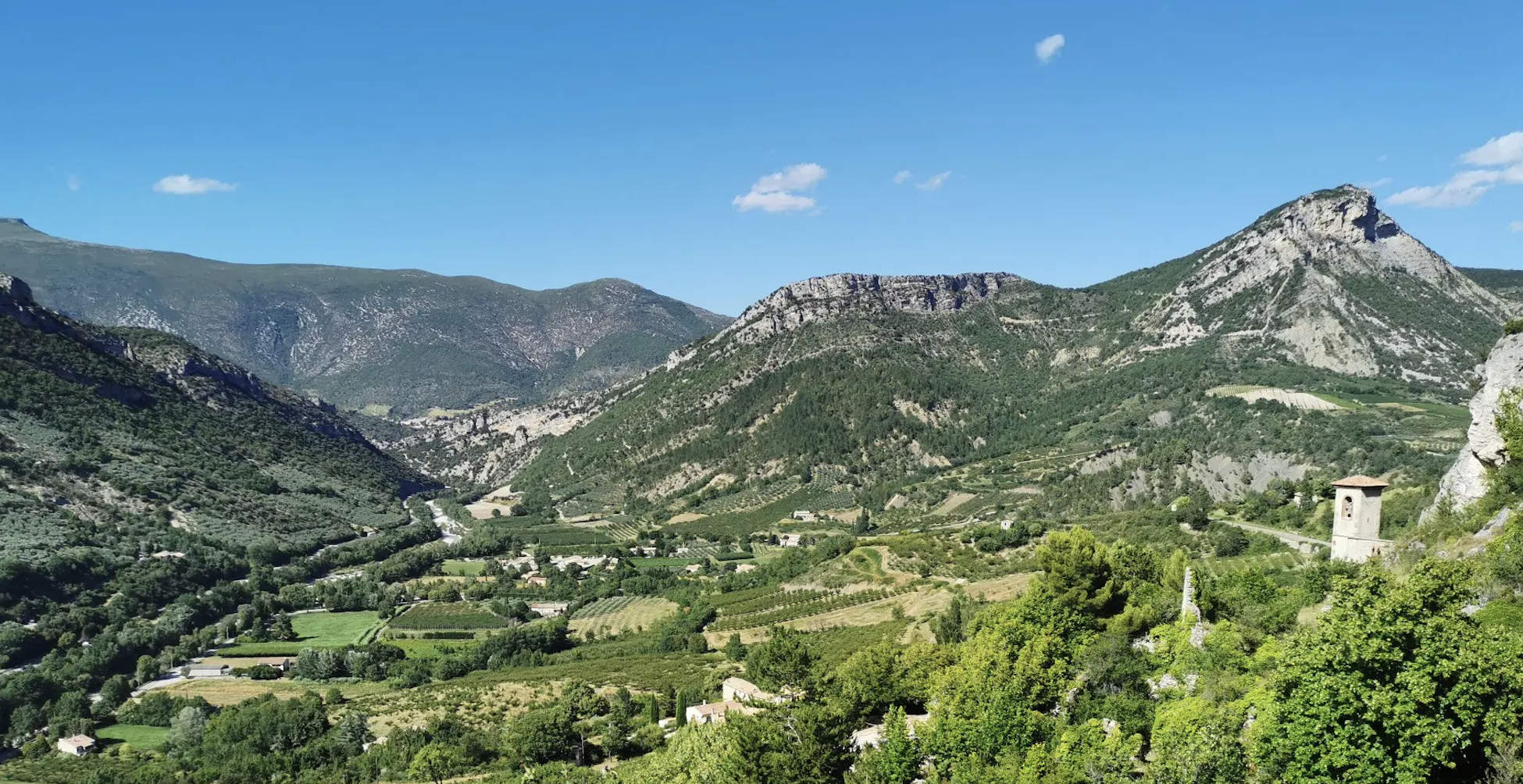
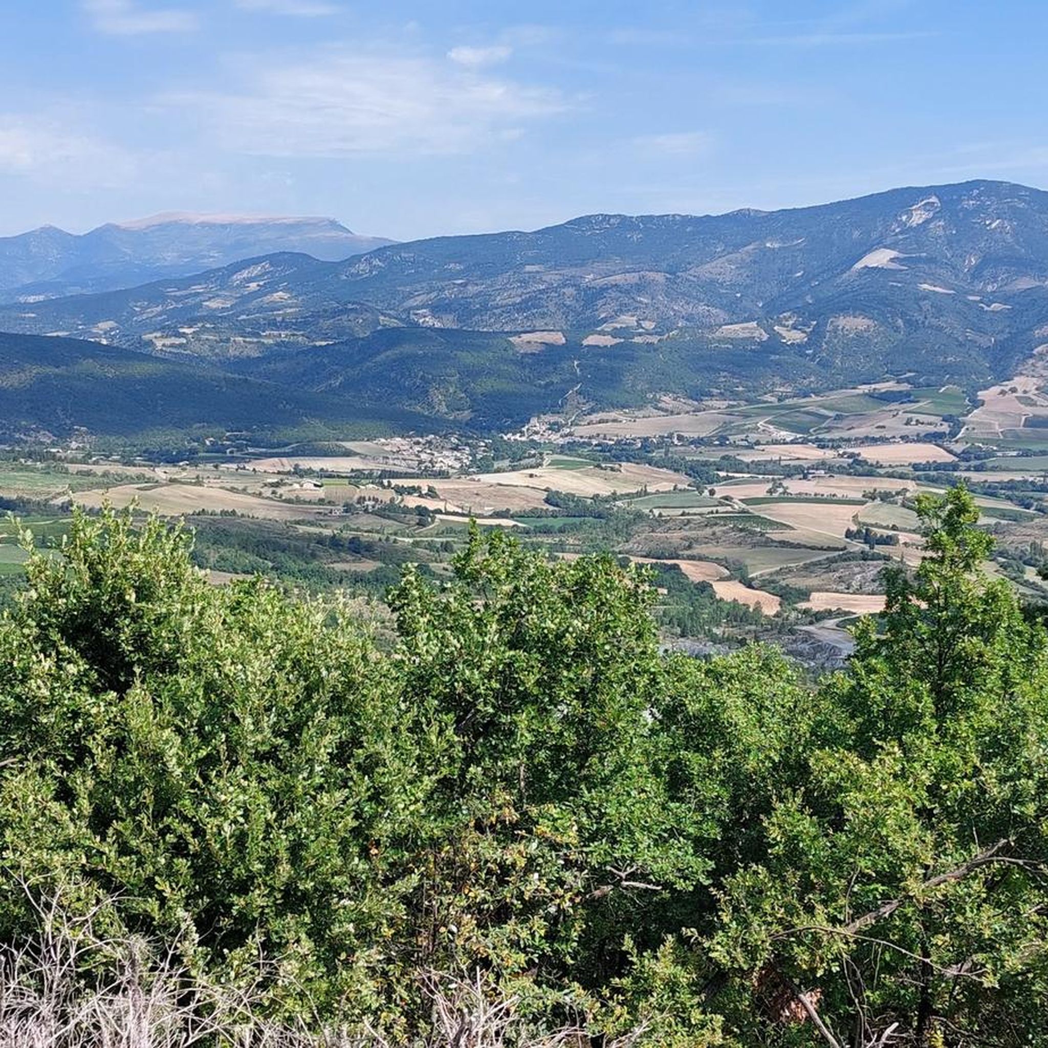
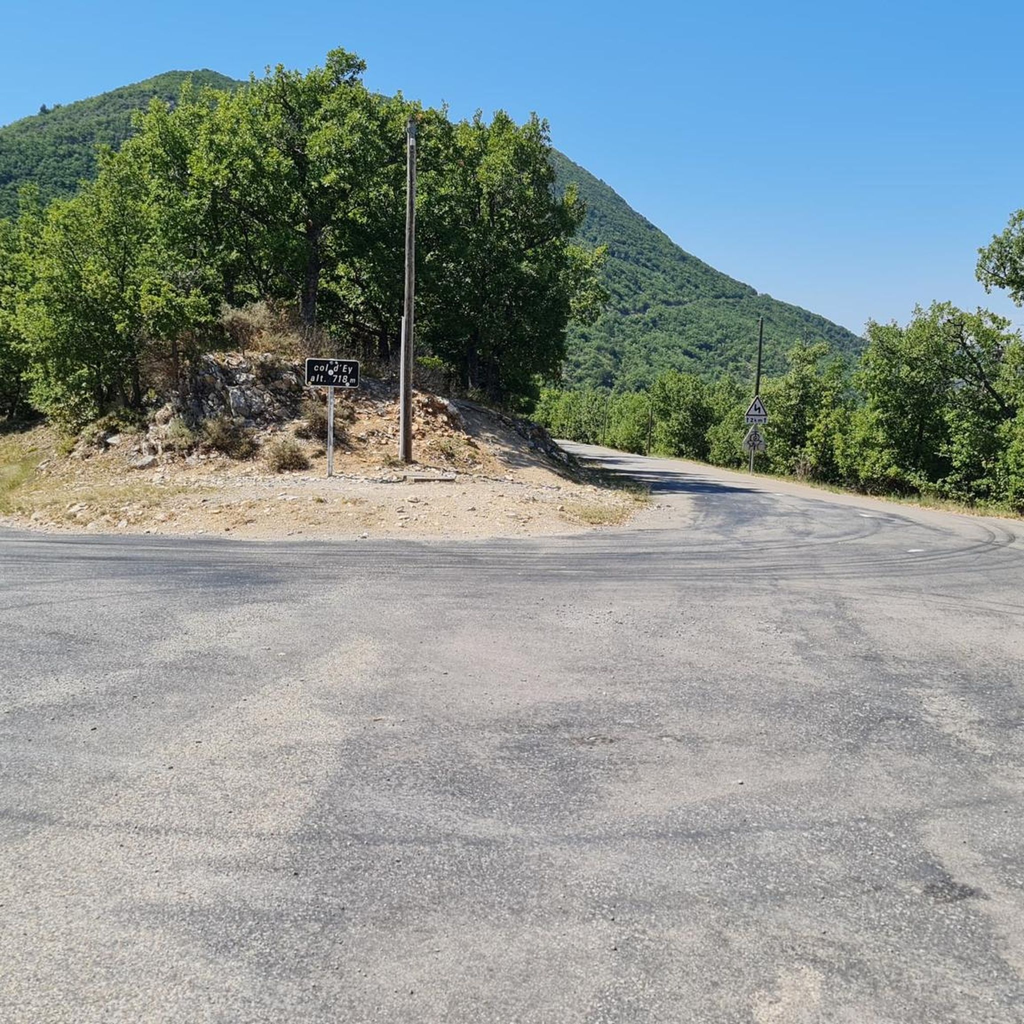
Touring cycling around Sainte-Jalle offers routes through diverse Provençal landscapes, characterized by wooded hills, lavender fields, and mountain passes. The region is situated within the Parc Naturel Régional des Baronnies Provençales, providing a preserved natural environment for cyclists. Routes often feature well-maintained paved surfaces, suitable for road cycling, with some unpaved segments. Notable climbs include Col de Soubeyrand (994 m) and Col d'Ey (994 m), offering challenging ascents and rewarding views.
Best touring cycling routes around Sainte-Jalle
- The most popular…
Last updated: July 8, 2026
4.9
(12)
201
riders
Hard bike ride. Very good fitness required. Mostly paved surfaces. Suitable for all skill levels.
56
riders
96.6km
06:57
2,110m
2,110m
Hard bike ride. Very good fitness required. Mostly paved surfaces. Suitable for all skill levels.

Sign up for free
4.7
(7)
82
riders
Moderate bike ride. Good fitness required. Mostly paved surfaces. Suitable for all skill levels.
4.3
(4)
27
riders
Hard bike ride. Very good fitness required. Mostly paved surfaces. Suitable for all skill levels.
5.0
(1)
26
riders
21.5km
01:28
380m
380m
Moderate bike ride. Good fitness required. Mostly paved surfaces. Suitable for all skill levels.
Get access to more routes and recommendations from other explorers.
Sign up for free
Already have an account?
Our route recommendations are based on thousands of hikes, rides, and runs completed by other people on komoot.
Start today with a free account
Your next adventure awaits.
Login or Signup

Other adventures around Sainte-Jalle

Tips from the Community

Saint-Auban is a small and characteristic village in the Provence-Alpes-Côte d'Azur region, located at an altitude of about 1,100 meters, at the foot of the spectacular Tracastel rock face.
4
0
For cyclists it's a climb: * Length: approx. 7 km * Elevation gain: approx. 320 m * Average gradient: 4.6% * Maximum gradient: approx. 5%
4
0
Place of worship maintained in excellent condition.
3
0
In this vending machine you can find typical local products
6
0
The Col de Soubeyrand (987–994 m, depending on the map source) is located in the Drôme department, in the Auvergne-Rhône-Alpes region, within the Baronnies provençales massif. It connects the Eygues valley with the Ennuye valley, between the villages of Rémuzat and Sainte-Jalle.
6
0
The Col de Peyruergue (794 m) is a pass located in the Drôme department, within the Parc naturel régional des Baronnies provençales. It connects the Ennuye valley with that of the Ouvèze, near Saint-Sauveur-Gouvernet.
5
0
Verclause is a small commune in the Drôme, in the Auvergne-Rhône-Alpes region, in the southeast of France. It is located in the Eygues river valley, at the foot of the Prealps, in a quiet area much appreciated by cyclists and motorcyclists for its numerous scenic roads and mountain passes. It is close to the border with the Hautes-Alpes department, not far from locations such as Orpierre and Séderon.
5
0
The Col du Reychasset is a pass located at an altitude of 1,052 m, in the Drôme department, within the Parc naturel régional des Baronnies provençales. It connects the Armalause valley with the Céans valley, between the municipalities of Chauvac-Laux-Montaux and Villebois-les-Pins.
8
0
Frequently Asked Questions
What kind of terrain can I expect on touring cycling routes around Sainte-Jalle?
The routes around Sainte-Jalle primarily feature well-maintained paved surfaces, making them suitable for road cycling. However, some segments may be unpaved and more challenging. You'll cycle through diverse Provençal landscapes, including wooded hills, lavender fields, and mountain passes.
Are there routes suitable for less experienced touring cyclists?
Yes, Sainte-Jalle offers routes for various fitness levels. There are 3 easy and 7 moderate routes available. For a less strenuous ride through villages and past historical features, consider the View of the Roman bridge at Nyons – Les Pilles — village and bridge loop from Sainte-Jalle, which is a moderate 37.2 km path.
What are some challenging touring cycling routes in the area?
For experienced touring cyclists seeking a challenge, Sainte-Jalle offers 5 difficult routes. The The valley of l’Ennuye from Sainte-Jalle — loop in the Parc naturel régional des Baronnies provençales is a difficult 45.8 km trail with over 1,000 meters of elevation gain. Another demanding option is the Col de Soubeyrand (994 m) – Peyruergue Pass loop from Sainte-Jalle, a 96.5 km trail with over 2,100 meters of ascent.
What natural features or landmarks can I see along the touring cycling routes?
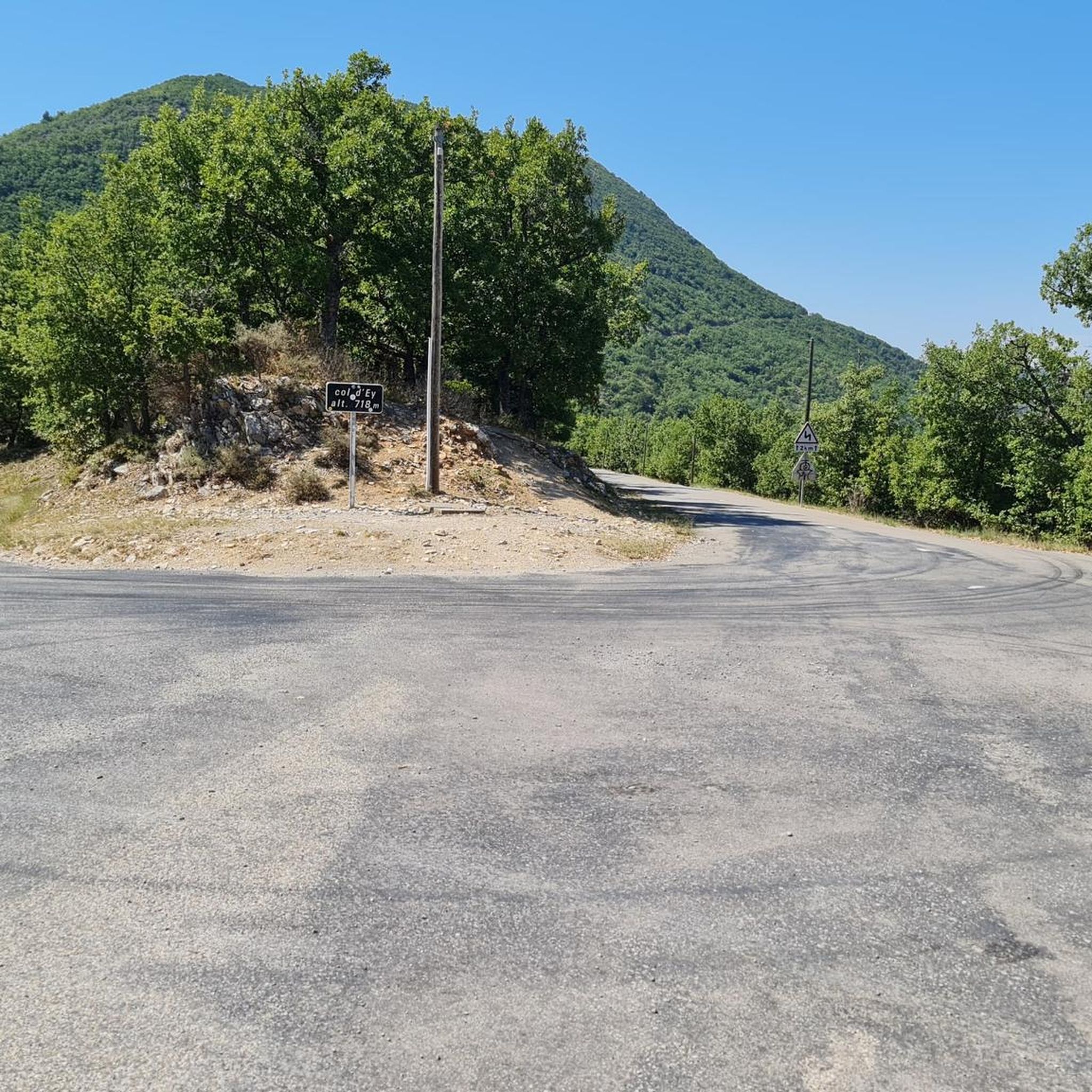
The region is rich in natural beauty and historical sites. You can encounter impressive viewpoints like Rocher du Caire, explore the Baume des Eyguiers Grotto, or cycle near the dramatic Gorges de Saint-May. The routes also feature several mountain passes, including Col d'Ey and Col de Soubeyrand (994 m).
Are there any circular touring cycling routes available?
Yes, many routes around Sainte-Jalle are designed as loops, allowing you to start and end in the same location. Examples include the challenging Col de Soubeyrand (994 m) – Col d'Ey loop from Communauté de communes des Baronnies en Drôme Provençale and the shorter, difficult Sainte-Jalle – Col de Soubeyrand (994 m) loop from Sainte-Jalle.
What is the best time of year for touring cycling in Sainte-Jalle?
The Drôme Provençale region, where Sainte-Jalle is located, is known for its pleasant climate. Spring and autumn generally offer ideal conditions with milder temperatures and blooming lavender fields or vibrant fall foliage. Summers can be warm, especially in July and August, so early morning rides are recommended during these months.
Is Sainte-Jalle located within a protected natural area?
Yes, Sainte-Jalle is nestled within the Parc Naturel Régional des Baronnies Provençales. This designation ensures a preserved natural environment with significant biodiversity, offering cyclists stunning landscapes and a tranquil experience.
What do other touring cyclists say about the routes in Sainte-Jalle?
The touring cycling routes around Sainte-Jalle are highly regarded by the komoot community, with an average rating of 4.4 stars from over 300 reviews. Cyclists often praise the diverse Provençal landscapes, the challenging mountain passes, and the overall quality of the cycling experience in the region.
Are there options for bike rental in Sainte-Jalle?
While Sainte-Jalle is a smaller village, it's advisable to check with local tourist information centers or inquire at accommodation providers in advance for bike rental options. Larger towns in the Drôme Provençale region typically offer more choices for renting touring bicycles.
Can I find places to eat or stay in Sainte-Jalle?
Sainte-Jalle, though a small village, offers some amenities. You can find local cafes and restaurants to refuel after your ride. For accommodation, there are guesthouses or small hotels available, providing a comfortable base for exploring the surrounding cycling routes.
What are the typical elevation gains on routes around Sainte-Jalle?
Elevation gains vary significantly depending on the route's difficulty. Moderate routes might have around 380 meters of ascent, while difficult routes, especially those incorporating mountain passes like Col de Soubeyrand or Col d'Ey, can feature over 1,000 meters, and even up to 2,100 meters of elevation gain on longer loops.
Are there any specific regulations for cycling within the Parc Naturel Régional des Baronnies Provençales?
When cycling within the Parc Naturel Régional des Baronnies Provençales, it's important to respect local regulations, especially concerning fire risks during dry seasons. Always stay on marked paths, avoid littering, and be mindful of wildlife. For specific details on permits or seasonal restrictions, particularly regarding fire safety, it's best to consult local signage or the park's official information.
Most popular routes around Sainte-Jalle
Most popular attractions around Sainte-Jalle

Get inspired with the komoot mobile app


Explore more
Browse the best Cycling routes in other regions.
