The best cycling routes around Champniers
4.4
(335)
2,262
riders
21
rides
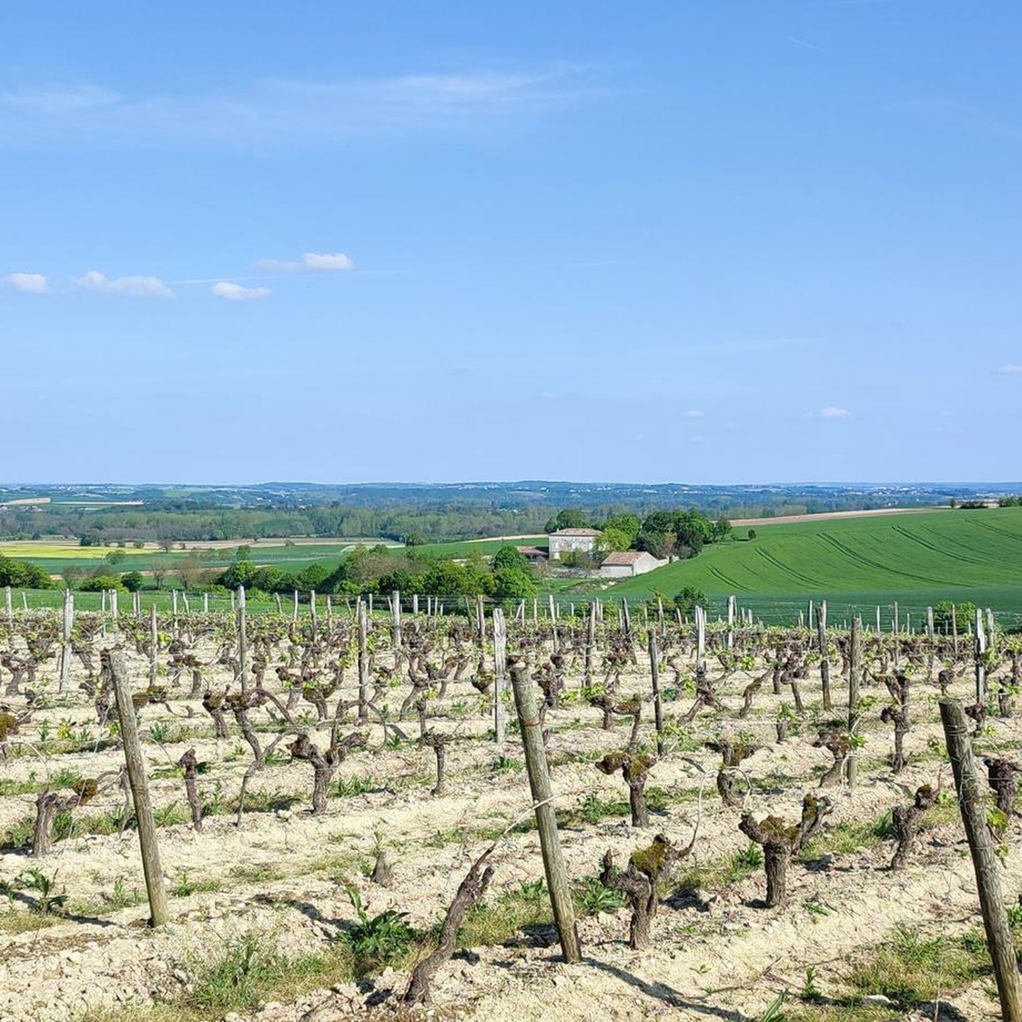
Touring cycling routes around Champniers, France, traverse a landscape characterized by tranquil countryside, rolling hills, and proximity to the Charente River. The region offers diverse terrain, including woods, fields, and open areas, providing varied cycling experiences. This network of cycling routes caters to different difficulty levels, from easy family rides to more challenging exploration routes.
Best touring cycling routes around Champniers
- The most popular touring cycling route is The Touvre at Ruelle-sur-Touvre – View of Angoulême loop from Champniers, a 28.6 miles (46.1 km) trail that takes 3 hours 35 minutes to complete. This difficult route features significant elevation gain through varied terrain.
- Another top favourite among local touring cyclists is Foulpougne Viaduct – Comic Book Museum loop from Gond-Pontouvre, an easy 8.7 miles (14.1 km) path. This route offers a gentle ride, passing by cultural landmarks and scenic river views.
- Local touring cyclists also love the Lavoir d'Argence – Viewpoint loop from Champniers, a 18.6 miles (29.9 km) trail leading through the local countryside, often completed in about 2 hours 26 minutes.
- Touring cycling around Champniers is defined by tranquil countryside, rolling hills, and the scenic Charente River. The extensive network offers options for different ability levels, from leisurely rides to more challenging routes.
- The routes in Champniers are highly rated by the komoot community with an average score of 4.6 stars from over 300 reviews. More than 2,000 touring cyclists have used komoot to explore Champniers's varied terrain.
Last updated: July 3, 2026
1.0
(1)
15
riders
Moderate bike ride. Good fitness required. Mostly paved surfaces. Suitable for all skill levels.
10
riders
29.9km
02:26
410m
400m
Moderate bike ride. Good fitness required. Mostly paved surfaces. Suitable for all skill levels.

Sign up for free
9
riders
49.3km
03:53
640m
640m
Hard bike ride. Very good fitness required. Mostly paved surfaces. Suitable for all skill levels.
5
riders
43.9km
03:24
480m
480m
Hard bike ride. Very good fitness required. Mostly paved surfaces. Suitable for all skill levels.
6
riders
60.7km
04:39
580m
590m
Hard bike ride. Very good fitness required. You may need to push your bike for some segments of this route.
Get access to more routes and recommendations from other explorers.
Sign up for free
Already have an account?
Our route recommendations are based on thousands of hikes, rides, and runs completed by other people on komoot.
Start today with a free account
Your next adventure awaits.
Login or Signup
Tips from the Community

Small washhouse, renovated in 2020, a light staircase towards the stream and a stone table, it is located on the side of the road. No setting or equipment allowing a break, but a pretty site punctuating the journey through Argence.
0
0
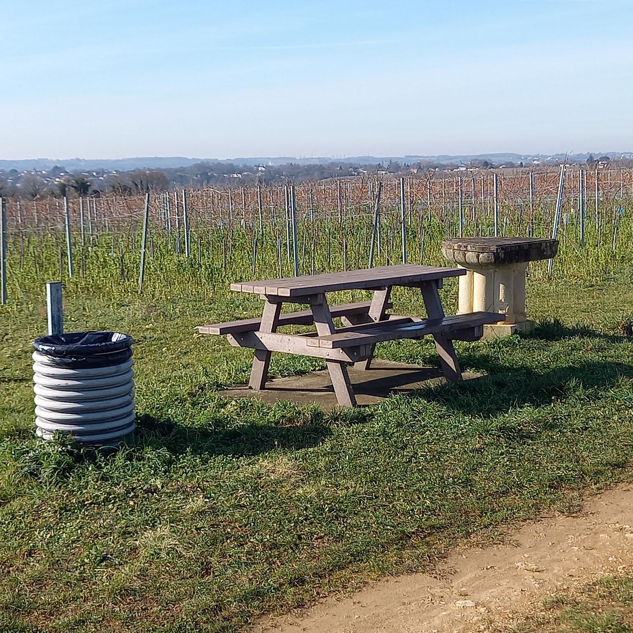
A break area set up in the middle of the vines, consisting of an orientation table and a picnic table. The site, between Vouillac and Argence, overlooking the Combe du Moussi offers a clear view of the surrounding countryside.
0
0
The washhouse of the fountain of the pots is placed along a pleasant forest path to walk. The basin surrounded by a wide limestone edge is decorated with a small bench, offering a clear view of the clearing and the fields below. The origin of the name comes from the old hemp crops present in the region in the 19th century. The recovery of the textile fibers of the plant was done after soaking, or retting, in pots, immersed in the basin.
0
0
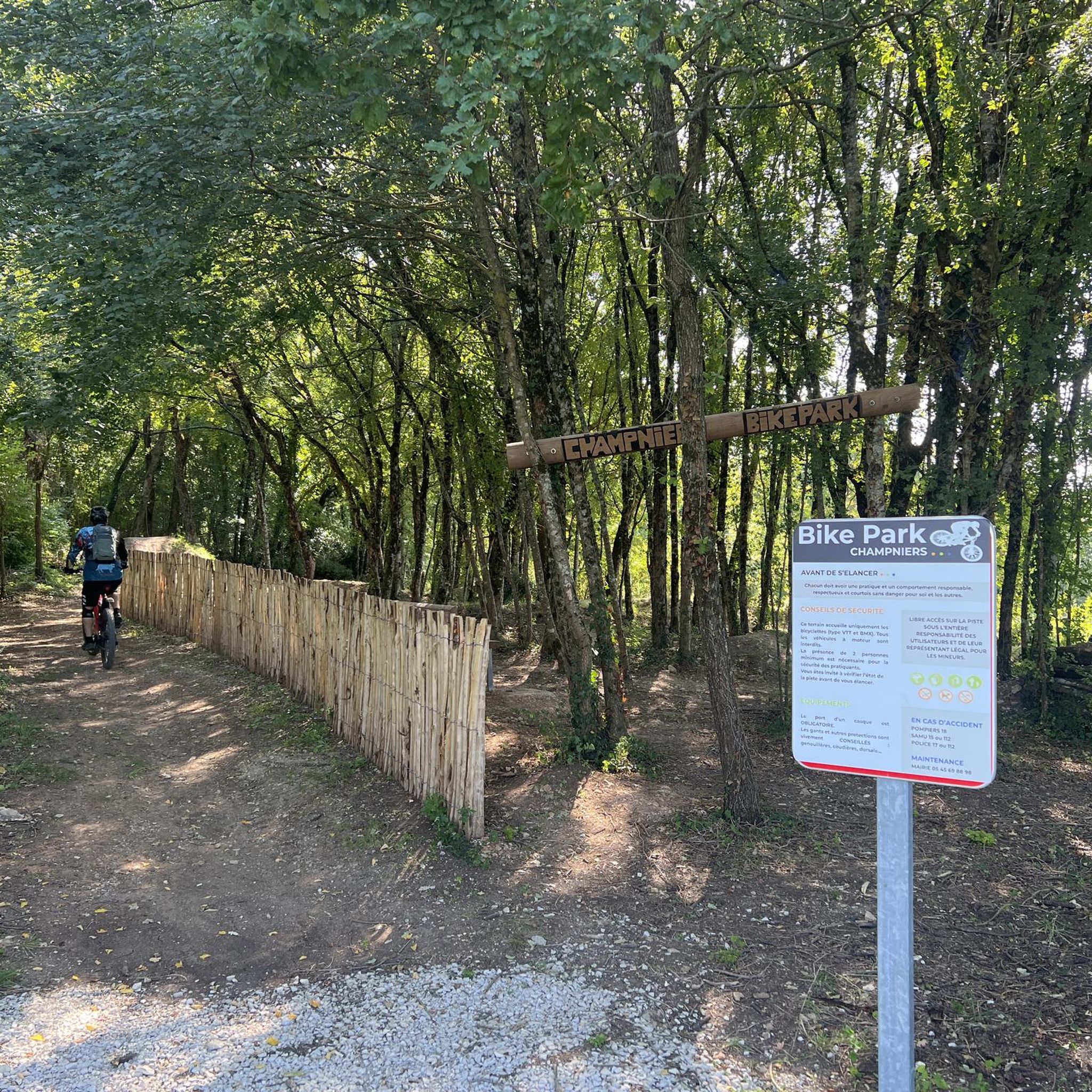
Marked route of the Tour Charente VTT, alternative to the garenne du Cluzeau, or the road of Grattelot, to connect Vindelle and St-Yrieix. Rather clean, with some roots, it is too narrow for a two-wheel trailer.
0
0
Shelter on the banks of the Touvre, perfect for a refueling break, or bad weather.
0
1
Small corner under the road, but completely isolated, you can miss it if you pass too quickly.
0
0

The Foulpougne viaduct crosses the Touvre and allows the Paris-Bordeaux line to continue on its way. It is 60 meters long and overlooks the river at 16 meters in height.
0
0

The place is beautiful, but too crowded in the summer season. People on foot who take the entire width of the path, dogs not kept on a leash and so on...
2
0
Frequently Asked Questions
How many touring cycling routes are available around Champniers?
Champniers and its surroundings offer a wide variety of touring cycling routes. You can find over 230 routes in the area, catering to different preferences and skill levels.
What kind of terrain can I expect on touring cycling routes in Champniers?
The region around Champniers is characterized by tranquil countryside, rolling hills, and the scenic Charente River. Routes often traverse woods, fields, and open areas, providing a diverse cycling experience. You'll find everything from gentle riverside paths to routes with significant elevation gain through varied terrain.
Are there touring cycling routes suitable for beginners or families?
Yes, Champniers offers many options for less experienced cyclists and families. There are 57 easy routes, such as the Foulpougne Viaduct – Comic Book Museum loop from Gond-Pontouvre, which is an 8.7-mile (14.1 km) path offering a gentle ride past cultural landmarks and scenic river views.
What are some longer or more challenging touring cycling routes in the area?
For those seeking a challenge, there are 76 difficult routes available. An example is the Château de La Rochefoucauld – Rancogne Castle loop from Ruelle-sur-Touvre, a substantial 40.2-mile (64.7 km) route featuring significant elevation changes.
Are there any circular touring cycling routes in Champniers?
Many routes in the Champniers area are designed as loops, allowing you to start and end at the same point. For instance, the Lavoir d'Argence – Viewpoint loop from Champniers is an 18.6-mile (29.9 km) trail that takes you through the local countryside in a circular fashion.
What natural features or scenic viewpoints can I discover along the routes?
The region is rich in natural beauty. You can explore the Vallée des Eaux Claires, known for its limestone cliffs and Mediterranean vegetation, or the Fleurac Islands, a natural area popular with cyclists. The Charente River itself offers a serene 'river corridor' with picturesque views.
Are there any historical or cultural landmarks to see while cycling?
Yes, the area boasts a rich architectural heritage. Along your rides, you might encounter sites like the impressive Saint-Amant-de-Boixe Abbey, a Romanesque building, or the historic Saint-Pierre d'Angoulême Cathedral with its numerous sculptures.
What are the best times of year to go touring cycling in Champniers?
The Charente region is generally pleasant for cycling from spring through autumn. Spring offers lush greenery and comfortable temperatures, while autumn provides beautiful foliage. Summer can be warm, but riverside routes offer cooler options. Winter cycling is possible but may require more preparation for colder, potentially wetter conditions.
Are there any major long-distance cycling routes that pass through Champniers?
Yes, Champniers benefits from its location within a wider cycling network. The major European cycle route, La Scandibérique (EuroVelo 3), passes through the Charente. Additionally, the picturesque Flow Vélo route, which hugs the Charente River, is easily accessible, offering a limestone-surfaced track and quiet country roads. You can find more information about the Flow Vélo on francevelotourisme.com.
What do other touring cyclists say about the routes in Champniers?
The touring cycling routes around Champniers are highly rated by the komoot community, with an average score of 4.6 stars from over 300 reviews. Cyclists often praise the tranquil countryside, varied terrain, and the opportunity to discover charming villages and historical sites along the way.
Where can I find parking near the touring cycling trailheads?
Many villages and towns along the routes, including Champniers itself, offer public parking facilities. For specific routes, it's often possible to find parking near the starting points, especially in areas with local amenities or attractions. For example, the VTT circuit starting in Champniers has designated access points.
Is there public transport access to the touring cycling routes?
While the region is best explored by bike, some larger towns like Angoulême, which is close to Champniers, have train stations that can connect you to the wider area. Local bus services might also serve some villages, but it's advisable to check specific routes and bike carriage policies in advance if you plan to use public transport to reach a trailhead.
Most popular routes around Champniers
Most popular attractions around Champniers

Get inspired with the komoot mobile app


Explore more
Browse the best Cycling routes in other regions.
