The best walks and hikes around Saint-Brevin-Les-Pins
4.4
(119)
1,381
hikers
51
hikes
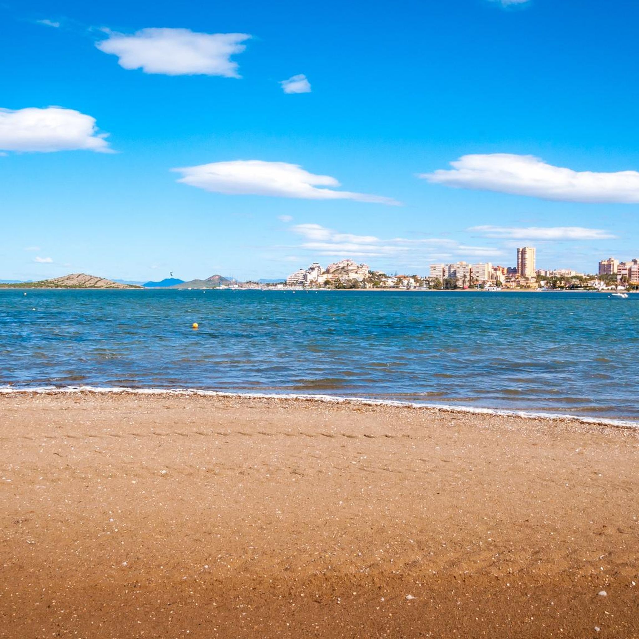
Hiking around Saint-Brevin-Les-Pins offers diverse landscapes at the southern bank of the Loire estuary, where it meets the Atlantic Ocean. The region features extensive pine forests, which stabilize sand dunes, and nearly 10 kilometers of sandy beaches. Coastal paths provide views of the river and ocean, while inland trails traverse forests and marshlands. The terrain is generally low-lying, with minimal elevation changes.
Best hiking trails around Saint-Brevin-Les-Pins
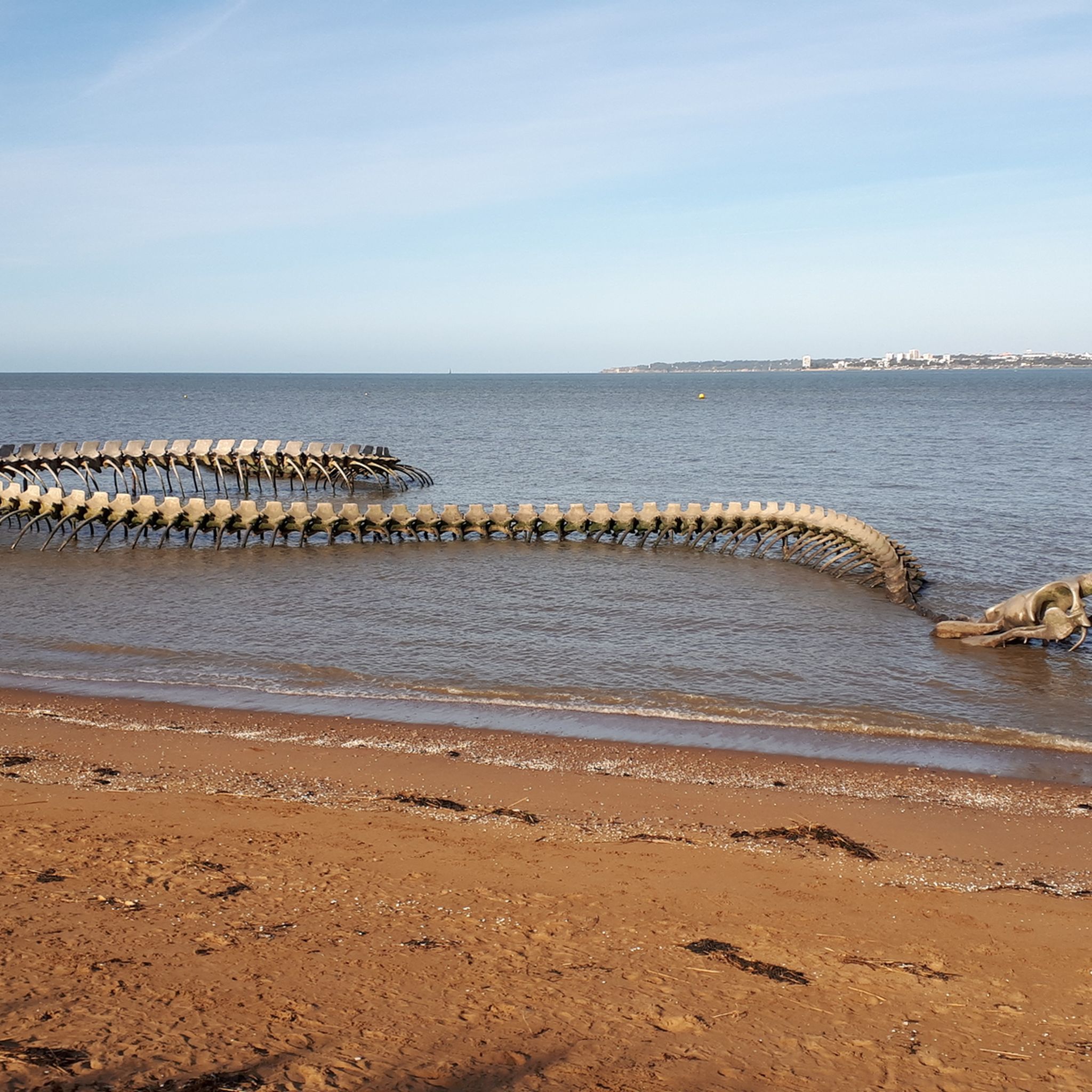
- The most popular hiking route is Plage des Pins – Serpent of the Ocean loop from Saint-Brévin l'Océan, a 7.5 miles (12.1 km) trail that takes 3 hours 5 minutes to complete. This moderate route allows views of the monumental Serpent d'Océan sculpture.
- Another top favourite among local hikers is Rochelets Beach – Menhir of La Pierre Attelée loop from Saint-Brevin-les-Pins, a moderate 7.7 miles (12.4 km) path. This trail leads through coastal areas and towards the historic Menhir de la Pierre Attelée.
- Local hikers also love the Ocean Beach – Saint-Brévin l'Océan loop from Saint-Brévin l'Océan, a 4.0 miles (6.5 km) trail leading through coastal scenery, often completed in about 1 hour 40 minutes.
- Hiking around Saint-Brevin-Les-Pins is defined by pine forests, coastal paths, and the Loire estuary. The network offers options for various ability levels, from easy beach walks to moderate forest and coastal excursions.
- The routes in Saint-Brevin-Les-Pins are highly rated by the komoot community with an average score of 4.3 stars from more than 90 reviews. More than 1100 hikers have used komoot to explore Saint-Brevin-Les-Pins's varied terrain.
Last updated: October 12, 2026
4.8
(10)
148
hikers
Moderate hike. Good fitness required. Easily-accessible paths. Suitable for all skill levels.
4.7
(14)
101
hikers
Moderate hike. Good fitness required. Easily-accessible paths. Suitable for all skill levels.

4.8
(12)
69
hikers
Moderate hike. Good fitness required. Easily-accessible paths. Suitable for all skill levels.
4.4
(9)
41
hikers
Moderate hike. Good fitness required. Easily-accessible paths. Suitable for all skill levels.
4.7
(7)
64
hikers
10.9km
02:46
30m
30m
Moderate hike. Good fitness required. Easily-accessible paths. Suitable for all skill levels.
Get access to more routes and recommendations from other explorers.
Already have an account?
Our route recommendations are based on thousands of hikes, rides, and runs completed by other people on komoot.
Start today with a free account
Your next adventure awaits.
Tips from the Community

This former fort currently houses the naval museum.
0
0
I, who am not very comfortable in gusts of wind, admit that I have not yet dared to take the plunge.
1
0

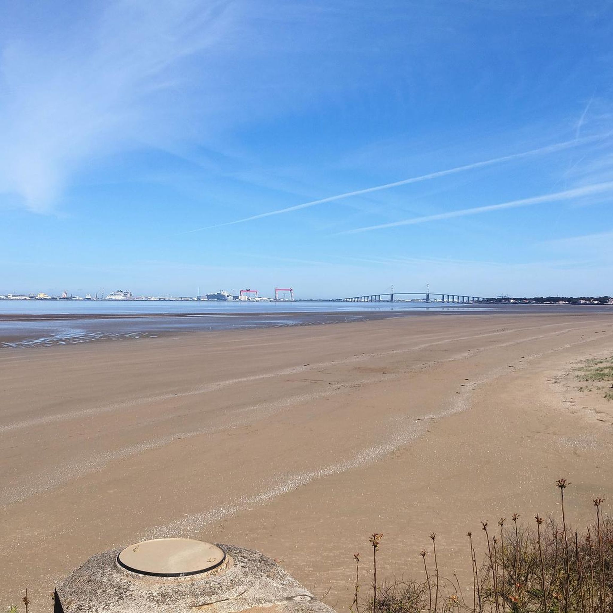
It takes a bit of courage to ride up there next to the roaring traffic when you're standing in front of the huge bridge. A cyclist coming towards me rang my bell - we said hello - and off we went. I prayed not to get a flat tire on this bridge - everything went well. There is no alternative to crossing the Loire at this point. But I'm still not sure whether there was a sign below prohibiting pedestrians and cyclists 🧐
0
1

Unfortunately we didn't see it when we arrived (30.8.24) in the rain. The next day, when it was humid and dry, we were able to marvel at this enormous animal.
1
0
Departure point for the free bus transfer in Saint-Brevin-des-Pins. In July and August, a bus with a bike trailer crosses the bridge every hour. It is not recommended to cross the bridge with a bike, particularly because of the crosswinds.
1
0


The Saint-Nazaire bridge is over 40 years old and still holds a record for the longest bridge in France at 3,356 metres in length.
1
0
Thank you Birgit for this very precise information! Could you please mark the departure point in Saint Nazaire as a highlight on the map? I can't find it. Thanks! For information, write a German number: +49 (0)2 51 82 62 62. Maybe there is an internal error. Phone prefix?
0
0
Frequently Asked Questions
How many hiking trails are available in Saint-Brevin-Les-Pins?
Saint-Brevin-Les-Pins offers a wide selection of hiking opportunities, with nearly 50 trails available. These routes cater to various preferences, from easy strolls to more moderate excursions.
Are there any easy hiking trails suitable for families or casual walkers?
Yes, Saint-Brevin-Les-Pins has plenty of easy trails, with over 30 routes classified as easy. These often include pleasant walks along the sandy beaches or through the serene pine forests. An example is the Ocean Beach – Saint-Brévin l'Océan loop from Saint-Brévin l'Océan, which is 4.0 miles (6.5 km) and takes about 1 hour 40 minutes.
What kind of natural features can I expect to see while hiking in Saint-Brevin-Les-Pins?
Hikers in Saint-Brevin-Les-Pins will encounter a diverse landscape where the Loire estuary meets the Atlantic. Expect to see extensive pine forests, which were planted to stabilize the sand dunes, and nearly 10 kilometers of sandy beaches. Coastal paths offer views of the river and ocean, while inland trails traverse forests and marshlands. The area is generally low-lying with minimal elevation changes.
Are there any circular walks in Saint-Brevin-Les-Pins?
Many of the trails in Saint-Brevin-Les-Pins are designed as loops, offering convenient circular walks. For instance, the popular Plage des Pins – Serpent of the Ocean loop from Saint-Brévin l'Océan is a 7.5-mile (12.1 km) circular route that allows you to see the monumental Serpent d'Océan sculpture.
What interesting landmarks or attractions can I discover on a hike?
Beyond the natural beauty, you can encounter unique landmarks. The impressive Serpent of the Ocean sculpture, a 130-meter-long skeletal artwork, is a must-see, especially at low tide. You can also find historical elements like the vestiges of the Atlantic Wall, and prehistoric megaliths such as the Menhir de la Pierre Attelée.
What do other hikers enjoy most about the trails in Saint-Brevin-Les-Pins?
The hiking routes in Saint-Brevin-Les-Pins are highly rated by the komoot community, with an average score of 4.3 stars from over 90 reviews. Hikers often praise the varied terrain, which includes coastal paths, pine forests, and estuary views, as well as the well-marked paths and the opportunity to discover unique landmarks like the Serpent d'Océan.
Are there any longer or more challenging hikes available?
While the terrain is generally low-lying, there are moderate options for those seeking a longer walk. For example, the Saint-Brévin l'Océan – Ocean Beach loop from Saint-Brevin-les-Pins is a moderate 10.3-mile (16.5 km) trail. For extensive adventures, parts of the GR8 long-distance hiking trail are also accessible along the Atlantic coastline.
Can I bring my dog on the hiking trails in Saint-Brevin-Les-Pins?
Many trails in Saint-Brevin-Les-Pins are dog-friendly, especially those through the pine forests and along the less crowded coastal paths. However, it's always recommended to check local signage for specific restrictions, particularly on beaches during peak seasons, and to keep your dog on a leash.
What is the best time of year to go hiking in Saint-Brevin-Les-Pins?
Saint-Brevin-Les-Pins is enjoyable for hiking throughout much of the year. Spring and autumn offer pleasant temperatures and fewer crowds, ideal for exploring the coastal paths and forests. Summer is also popular, though beaches can be busy, and the fresh sea breeze makes it comfortable even on warmer days. Winter walks can be invigorating, especially along the dramatic coastline.
Are there any trails that lead to or pass by lakes?
While Saint-Brevin-Les-Pins is primarily known for its coastal and forest environments, there are several ponds and small lakes in the surrounding area that can be incorporated into longer walks. Notable examples include Gatineaux Pond and Val Saint-Martin Pond, which offer different natural settings away from the immediate coast.
Is public transport available to access hiking trailheads?
Saint-Brevin-Les-Pins is a well-connected resort town. While specific public transport routes to every trailhead may vary, local bus services often connect different parts of the town and surrounding areas, making many starting points accessible. It's advisable to check local transport schedules for the most up-to-date information on routes and stops.
Are there any hikes that offer views of the Loire Estuary?
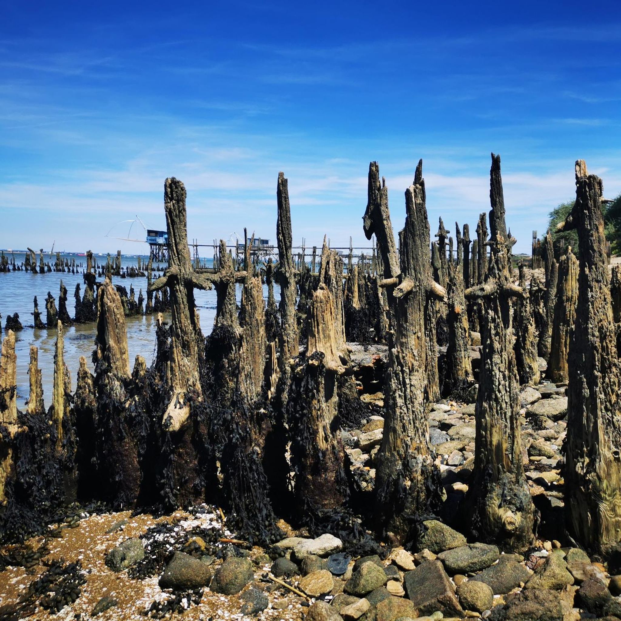
Absolutely. The unique location of Saint-Brevin-Les-Pins at the mouth of the Loire River means many trails offer stunning views of the estuary. The Estuary Circuit, starting from the Mindin district, is specifically designed to allow discovery of fishing huts and the specific natural areas along the Loire's banks, providing excellent estuary vistas.
Most popular routes around Saint-Brevin-Les-Pins
Most popular attractions around Saint-Brevin-Les-Pins

Get inspired with the komoot mobile app


Explore more
Browse the best Hikes in other regions.
