The best road cycling routes around Les Fourgs
4.5
(241)
7,242
riders
206
rides
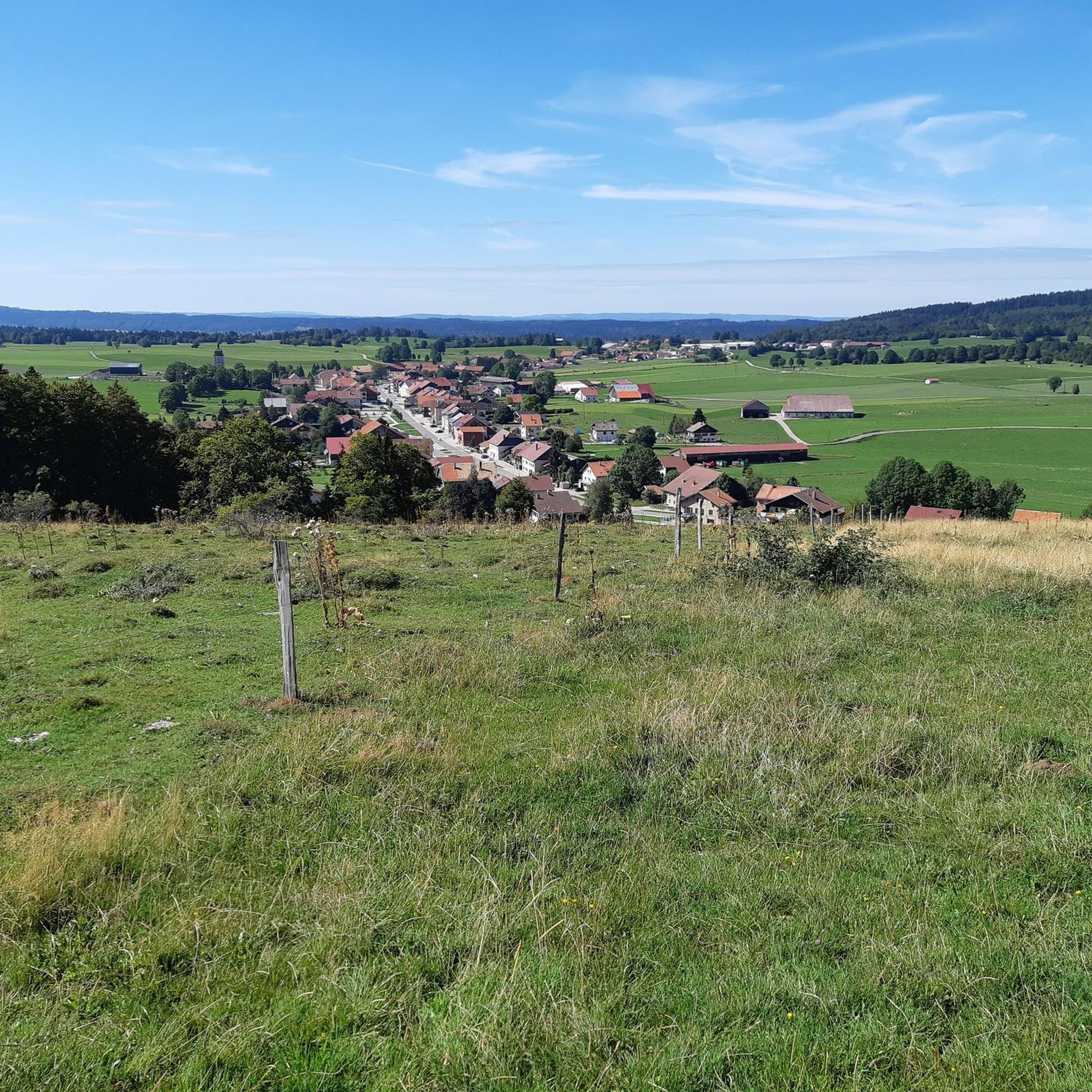
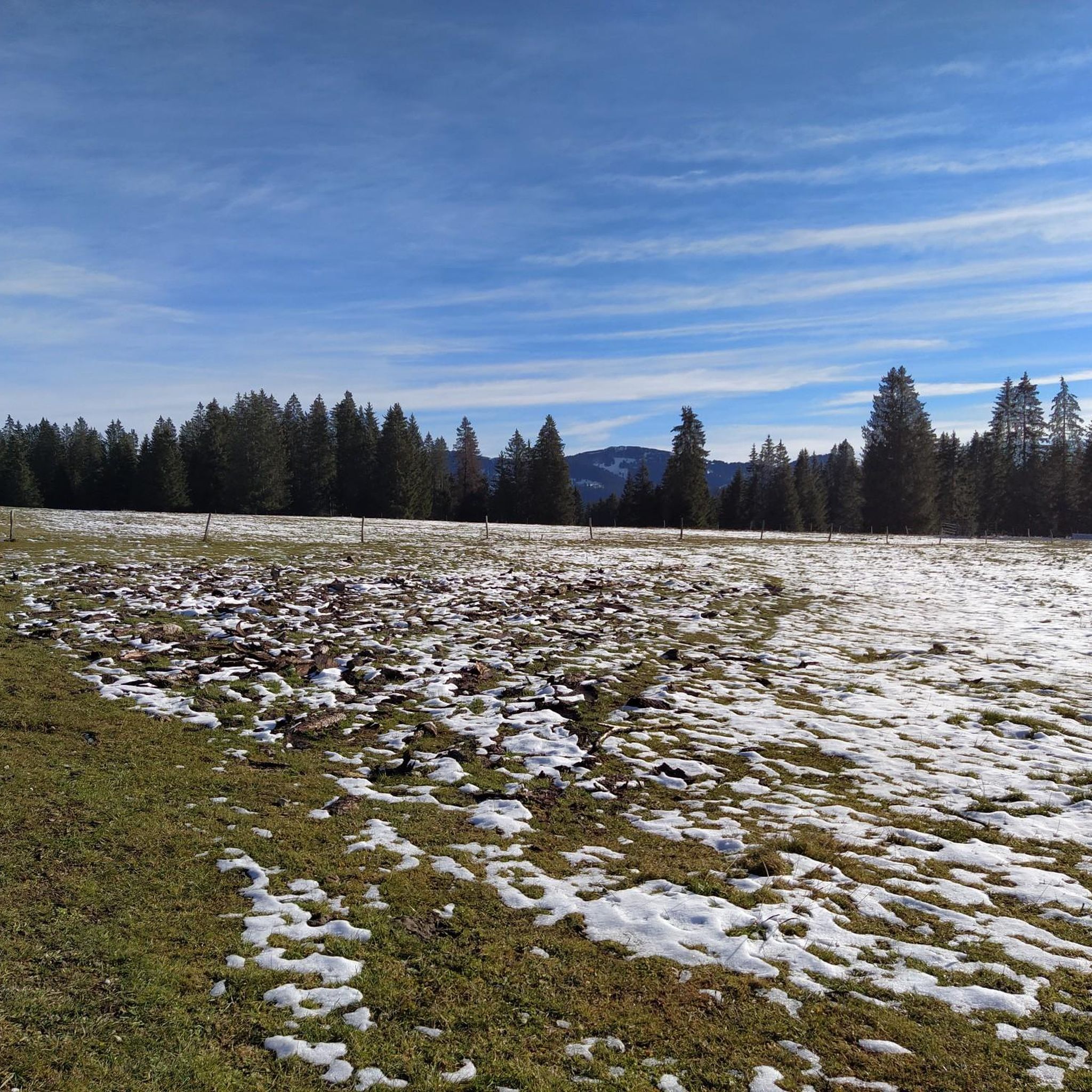
Road cycling around Les Fourgs, situated at an altitude of 1100 meters in the Doubs department, offers diverse landscapes for cyclists. The region is characterized by its position within the Jura massif, featuring prairies, dense forests, and mountainous terrain. Cyclists can expect varied topography with climbs and descents, providing routes through elevated points and valleys. The area includes views of the Suchet massif and the Dent de Vaulion.
Best road cycling routes around Les Fourgs
- The most popular road cycling…
Last updated: July 8, 2026
4.8
(17)
214
riders
56.1km
02:31
620m
620m
Moderate road ride. Good fitness required. Mostly well-paved surfaces and easy to ride.
5.0
(1)
72
riders
49.3km
02:38
920m
920m
Hard road ride. Very good fitness required. Mostly well-paved surfaces and easy to ride.

Sign up for free
5.0
(1)
24
riders
30.1km
01:21
250m
250m
Moderate road ride. Great for any fitness level. Some segments of this route may be unpaved and difficult to ride.
5.0
(2)
36
riders
Moderate road ride. Good fitness required. Mostly well-paved surfaces and easy to ride.
19
riders
38.1km
01:56
660m
660m
Moderate road ride. Good fitness required. Mostly well-paved surfaces and easy to ride.
Get access to more routes and recommendations from other explorers.
Sign up for free
Already have an account?
Our route recommendations are based on thousands of hikes, rides, and runs completed by other people on komoot.
Start today with a free account
Your next adventure awaits.
Login or Signup

Tips from the Community

At the Maison de l'Absinthe, you can immerse yourself in the history of absinthe. In addition to a permanent exhibition on the history of absinthe, there is a themed exhibition space, a garden, a laboratory that explains the absinthe-making process, a bar where you can sample around 30 different varieties, and finally, a shop where you can purchase various regional products. The Maison de l'Absinthe is open daily from 10:00 AM to 6:00 PM (5:00 PM on Sundays), except Mondays. Admission is 15 Swiss francs for adults; children up to 16 years old are free.
2
0

La Cluse-et-Mijoux is a pretty village nestled at the bottom of a valley in the Jura Mountains. Busy with cars heading to Switzerland, the town boasts a wide range of shops and services. History buffs can visit Fort de Joux or Fort Malher, which overlook La Cluse-et-Mijoux. Several chapels (Saint-Léger and Saint-Claude) also dot the outskirts of the town.
1
0

Village located between the Joux fortified castle and Fort Malher
0
0

Very nice view of the Doubs marsh between the Lac de Remoray and the Lac de Saint-Point. In the background you can see the Grand Taureau mountain
5
0


Steile Strasse at Col des Etroits
0
0
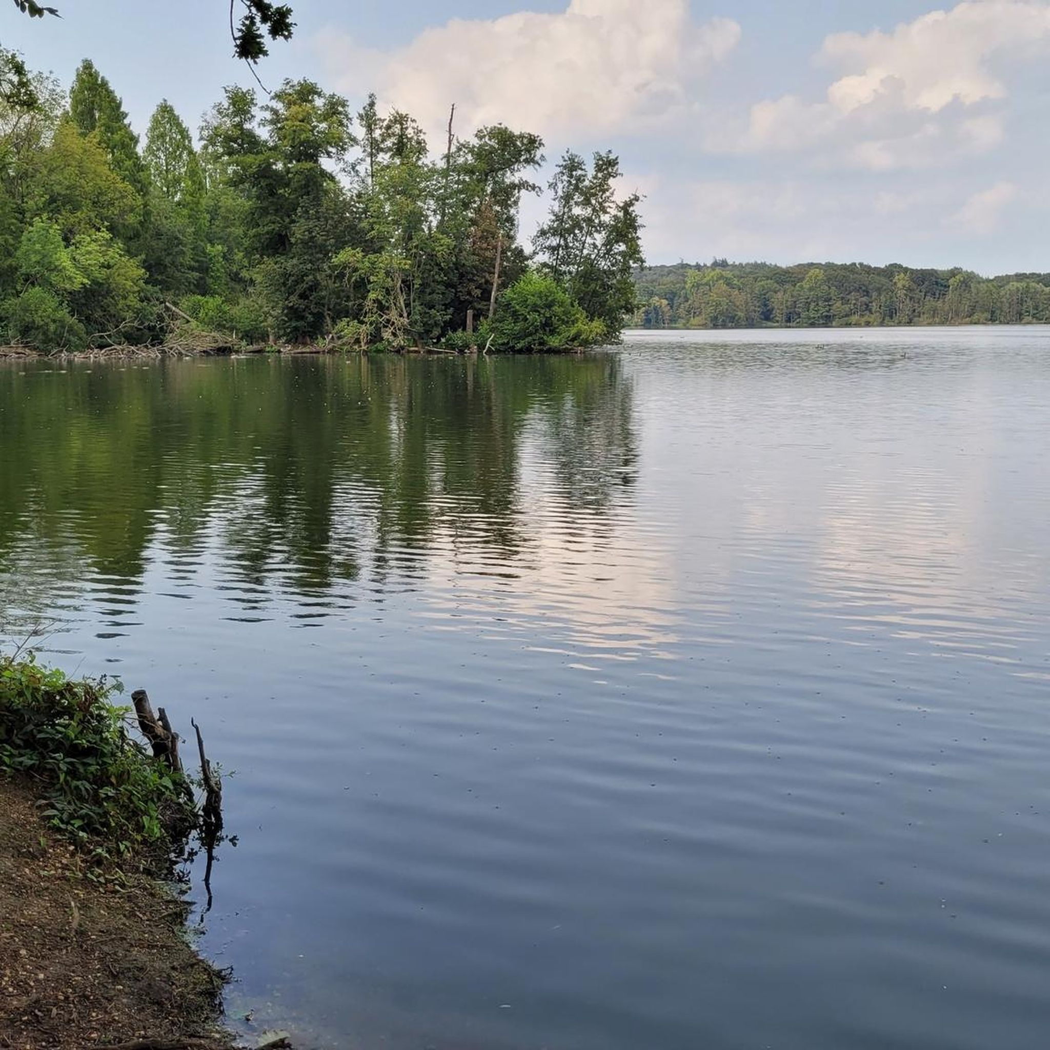
This lake, known for its bright blue water, crosses the Doubs in a 'valley'. This lake once formed one large body of water together with Lake Remoray. The lake is 6.3 km long and 800m wide, making it the fourth largest natural lake in France. In winter it freezes. By constructing a dam on the north side, it helps regulate the water of the Doubs.
6
0

Lake Remoray is one of the richest areas of Doubs in terms of nature. On this 430 hectare site there are numerous plant and animal species due to the wide variety of natural environments (marshes, lakes, peat bogs, forests, meadows, gravel pits, rivers), and also at altitude. 1872 species are currently recorded there.
0
0
Frequently Asked Questions
How many road cycling routes are available around Les Fourgs?
Les Fourgs offers a wide variety of road cycling routes, with over 200 different tours available. These range from easy to difficult, catering to various skill levels.
What is the best time of year for road cycling in Les Fourgs?
The region around Les Fourgs is best enjoyed for road cycling during the warmer months, typically from spring through autumn. While the Jura mountains can have challenging winter conditions, the other seasons offer pleasant weather to explore the prairies, forests, and mountainous terrain. Always check local weather forecasts before heading out.
Are there any family-friendly road cycling routes in Les Fourgs?
Yes, Les Fourgs provides options for families. While specific 'family-friendly' routes are not detailed, the area offers 21 easy-grade routes that are generally suitable for less experienced cyclists or families looking for a more relaxed ride. These routes often traverse scenic prairies and forests.
Can I find circular road cycling routes around Les Fourgs?
Many of the road cycling routes in Les Fourgs are designed as loops, allowing you to start and finish in the same location. For example, the Lovely stretch along the Doubs – View of the Marshes loop from La Cluse-et-Mijoux is a popular circular route offering views of the Marshes and the Doubs river.
What kind of views can I expect on road cycling routes in Les Fourgs?
Road cycling around Les Fourgs, often called the 'Roof of Haut-Doubs,' offers breathtaking panoramic views. From elevated points like the Mont d'Or, you can see the Suchet massif, the Dent de Vaulion, and even over 300 Alpine peaks, including Mont Blanc on clear days. Routes also feature serene vistas of expansive prairies, dense forests, and glacial lakes like Lac de Saint-Point. You can experience some of these views on the View of Sainte-Croix – Col des Étroits Pass loop from L’Auberson.
Are there any notable landmarks or attractions along the road cycling routes?
Absolutely! The region is rich in natural beauty and historical sites. You might encounter stunning viewpoints like the Petites Roches Ridge or the Chasseron Summit. For those interested in natural wonders, there are waterfalls such as the Saut de l'Eau waterfall and the Doubs Waterfall. The historic Chateau de Joux is also nearby, offering a cultural detour.
What do other road cyclists enjoy most about the routes in Les Fourgs?
The road cycling routes in Les Fourgs are highly rated by the komoot community, with an average score of 4.5 stars from over 200 reviews. Cyclists often praise the varied topography, which includes challenging climbs and exhilarating descents, as well as the stunning natural landscapes of prairies, forests, and mountain vistas. The network offers options for all abilities, making it a popular destination for many.
Are there options for long-distance road cycling in the area?
Yes, Les Fourgs is well-suited for longer rides. For example, the View of Lac de Remoray – Le Pont loop from La Cluse-et-Mijoux is a challenging 53.3-mile (85.8 km) route that takes approximately 4 hours 16 minutes to complete, offering extensive views and mountainous terrain.
Where can I find parking for road cycling routes in Les Fourgs?
While specific parking locations for each route are not detailed, Les Fourgs and nearby villages like La Cluse-et-Mijoux or L’Auberson, which serve as common starting points for many routes, typically offer public parking facilities. It is advisable to check local signage upon arrival for designated cyclist parking areas.
Are there any cafes or restaurants along the road cycling routes in Les Fourgs?
The region of Franche-Comté and Haut-Doubs is known for its gastronomy. While specific cafes directly on every route are not listed, Les Fourgs itself and the charming villages you pass through are likely to have local establishments where you can enjoy a break and discover local specialties like Comté and Mont d'Or cheeses. It's a good idea to plan your stops in advance.
What is the difficulty level of road cycling routes in Les Fourgs?
Les Fourgs offers a diverse range of routes to suit all abilities. You can find easy routes for a relaxed ride, moderate options for a good workout, and difficult trails with significant elevation gains for experienced cyclists seeking a challenge. Out of over 200 routes, 21 are easy, 111 are moderate, and 87 are difficult.
Can I access Les Fourgs by public transport with my bike?
Public transport options to Les Fourgs are available, but carrying bikes on regional buses or trains can vary. It's recommended to check the specific policies of local transport providers in the Doubs department or Bourgogne-Franche-Comté region regarding bicycle carriage before planning your journey.
Are there any specific permits or regulations for cycling in the Doubs Jura region?
Generally, road cycling on public roads in the Doubs Jura region does not require special permits beyond standard traffic laws. However, if any part of your route takes you through protected natural areas or private land, it's always wise to check for specific regulations or access restrictions. For the most part, you can enjoy the extensive network of roads freely.
Most popular routes around Les Fourgs
Most popular attractions around Les Fourgs

Get inspired with the komoot mobile app


Explore more
Browse the best Road cycling routes in other regions.
