The best road cycling routes around Longuenesse
4.4
(127)
6,511
riders
688
rides
Road cycling around Longuenesse offers diverse landscapes, from expansive rural areas to plateaus and forests. The region, a suburb of Saint-Omer, provides access to varied terrain suitable for different cycling abilities. Cyclists can explore rolling landscapes, cultivated fields, and routes that pass through historic towns. The area is characterized by its unique natural features, including the nearby Forêt de Clairmarais and the wider Pays de Saint-Omer region.
Best road cycling routes around Longuenesse
- The most popular road cycling route is…
Last updated: July 3, 2026
7
riders
117km
05:15
960m
960m
Hard road ride. Very good fitness required. Mostly well-paved surfaces and easy to ride.
3
riders
124km
05:10
580m
580m
This difficult 77.3-mile road cycling loop from St Omer to Béthune offers rolling landscapes and historic towns in the Parc naturel régional

Sign up for free
4.5
(2)
96
riders
52.7km
02:13
330m
330m
Moderate road ride. Good fitness required. Mostly well-paved surfaces and easy to ride.
5.0
(1)
86
riders
57.6km
02:40
490m
490m
Moderate road ride. Good fitness required. Mostly well-paved surfaces and easy to ride.
82
riders
35.5km
01:25
100m
100m
Easy road ride. Great for any fitness level. Mostly well-paved surfaces and easy to ride.
Get access to more routes and recommendations from other explorers.
Sign up for free
Already have an account?
Our route recommendations are based on thousands of hikes, rides, and runs completed by other people on komoot.
Start today with a free account
Your next adventure awaits.
Login or Signup
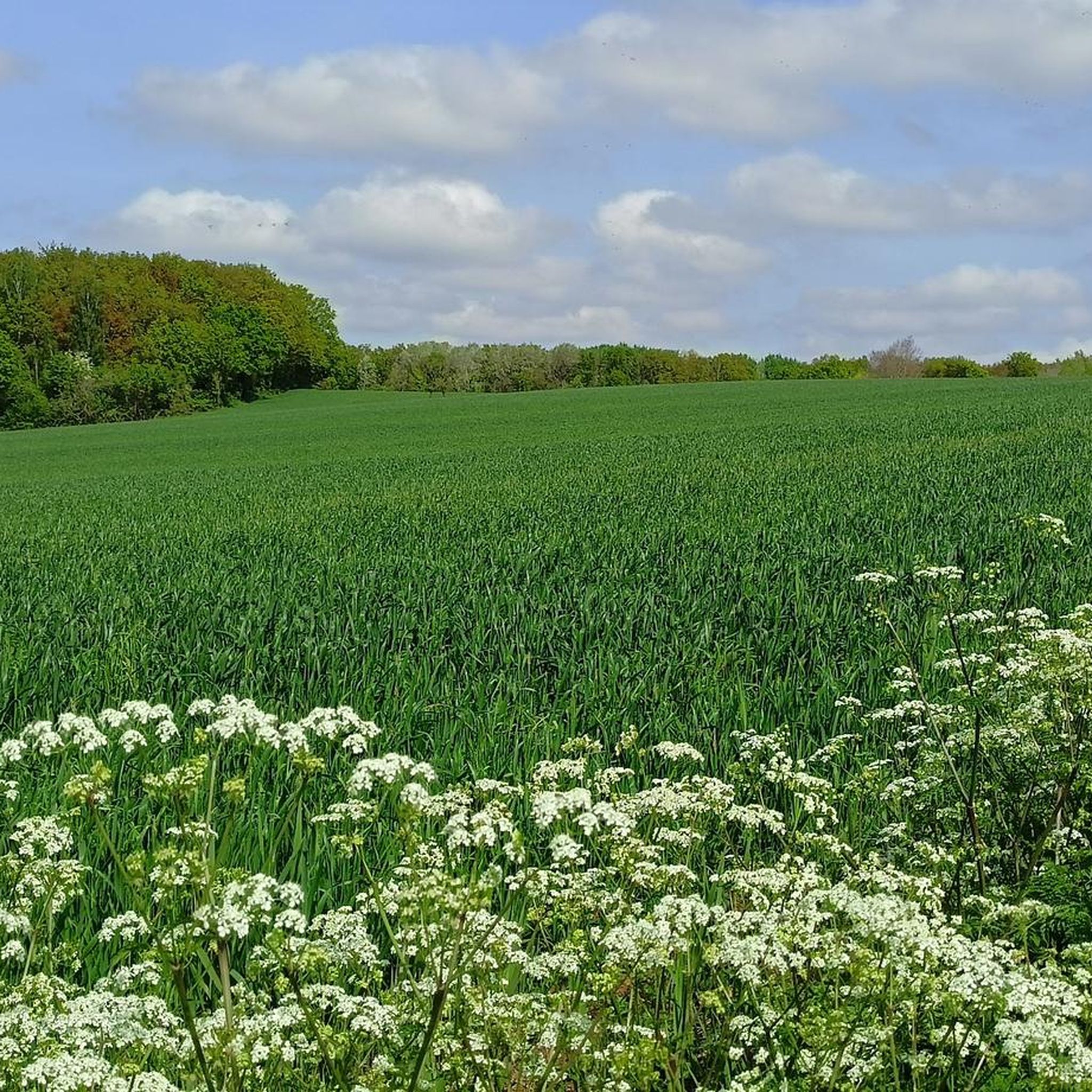
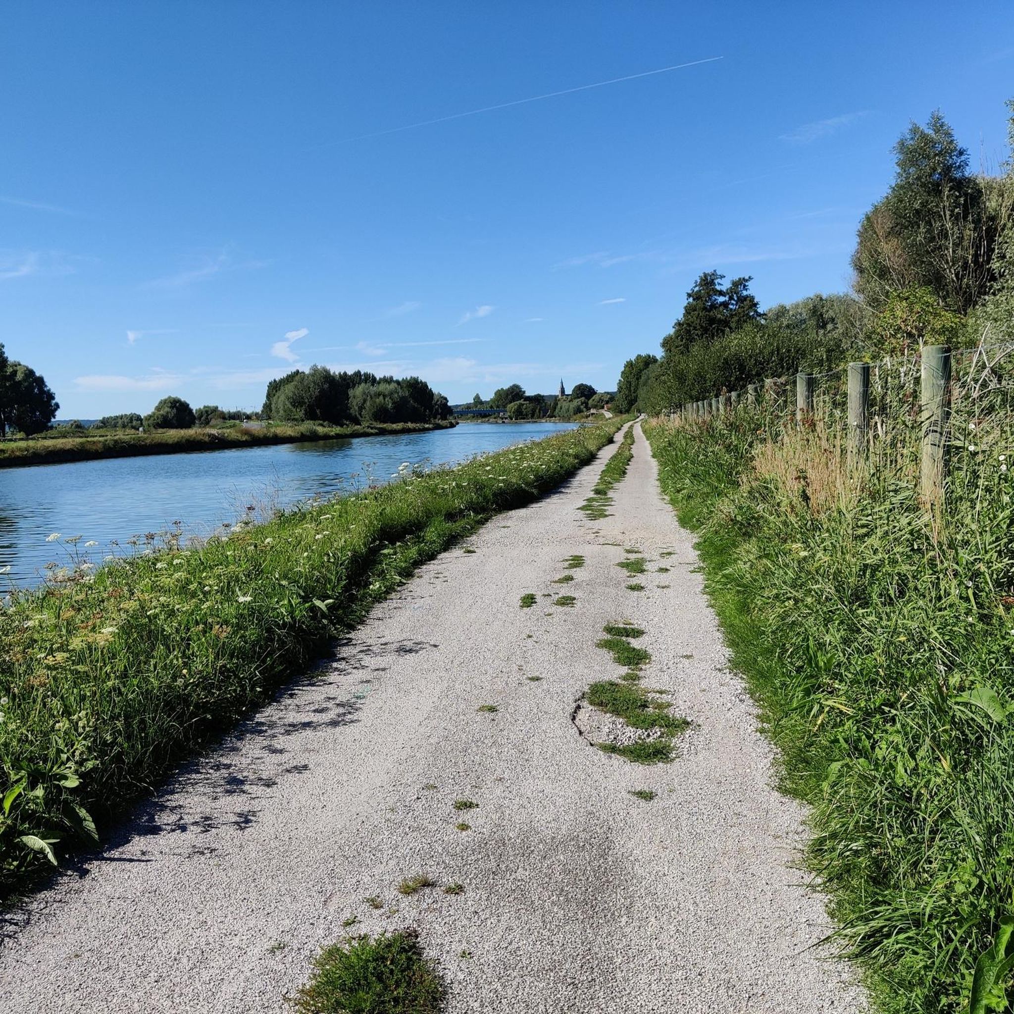
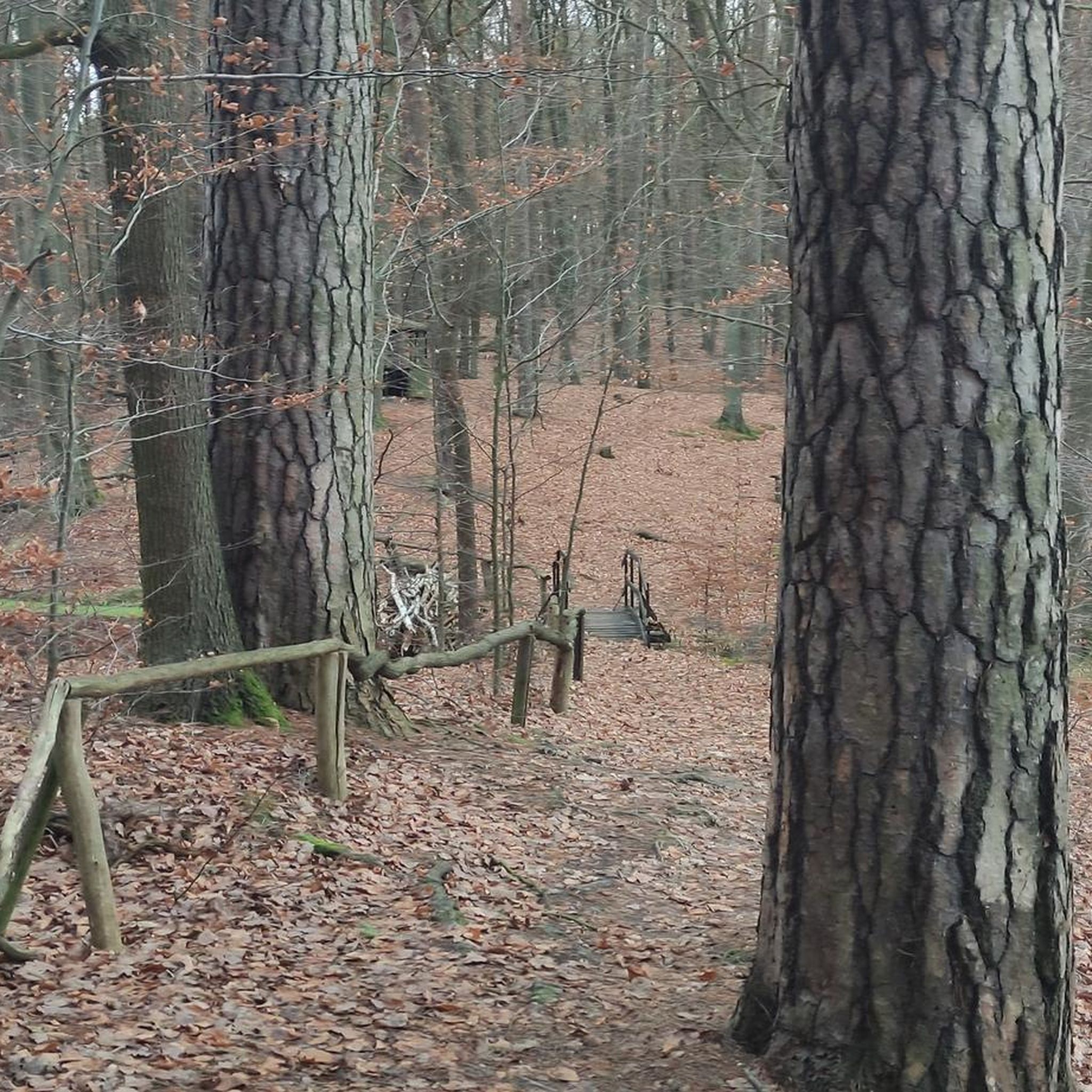
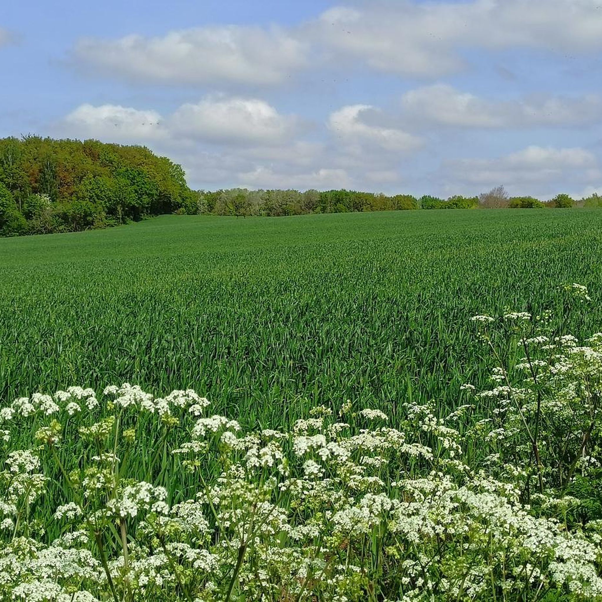

Tips from the Community


The battle of Fromelles on 19 July 1916 was a bloody initiation for Australian soldiers to warfare on the Western Front. Soldiers of the newly arrived 5th Australian Division, together with the British 61st Division, were ordered to attack strongly fortified German front line positions near the Aubers Ridge in French Flanders. The attack was intended as a feint to hold German reserves from moving south to the Somme where a large Allied offensive had begun on 1 July. The feint was a disastrous failure. Australian and British soldiers assaulted over open ground in broad daylight and under direct observation and heavy fire from the German lines. Over 5,500 Australians became casualties. Almost 2,000 of them were killed in action or died of wounds and some 400 were captured. This is believed to be the greatest loss by a single division in 24 hours during the entire First World War. Some consider Fromelles the most tragic event in Australia’s history. https://www.awm.gov.au/articles/encyclopedia/fromelles
0
0


starting point for quite a few hikes
0
0

here is an information board with all tourist information
0
0

Worth seeing monastery ruins.
0
0
Frequently Asked Questions
How many road cycling routes are available around Longuenesse?
There are over 670 road cycling routes in and around Longuenesse, offering a wide variety of options for different skill levels. This includes 85 easy routes, over 500 moderate routes, and nearly 90 difficult routes.
What kind of terrain can I expect on road cycling routes near Longuenesse?
The region around Longuenesse offers diverse terrain for road cycling. You'll find routes traversing vast rural areas, expansive plateaus like the Plateau des Bruyères, and sections near the Forêt de Clairmarais. Some routes also pass through historic towns and cultivated fields, providing varied landscapes.
Are there challenging road cycling routes for experienced cyclists?
Yes, Longuenesse offers several challenging routes. For instance, the St Omer au Kemmelberg — loop on the cobblestones of Gand-Wevelgem is a difficult 117 km trail featuring challenging cobblestone sections and significant elevation gain. Another demanding option is the Saint-Omer, Béthune, and Cassel Loop, which covers over 124 km and connects several historic towns.
What are some easier road cycling options suitable for families or beginners?
Longuenesse has 85 easy road cycling routes, many of which are on paved surfaces and suitable for all skill levels. An example of an easier route is the Zen home – Rue de Dunkerque loop from Blendecques, which is an easy 38 km loop with minimal elevation gain.
What natural features or landmarks can I see while cycling in the Longuenesse area?
Road cycling routes in the Longuenesse area often pass by notable natural features and landmarks. You can explore the unique wetland area of the Marais Audomarois, a UNESCO biosphere reserve, or cycle near the extensive Forêt de Clairmarais. Highlights include the Romelaëre Ponds Nature Reserve, Watten Hill, and the Saint-Omer Public Garden.
Are there any historical sites or points of interest along the routes?
Yes, many routes traverse historic towns and offer glimpses of the region's past. You might encounter sites like the Saint-Omer Cathedral, the Boat Lift of Fontinettes, or even routes that follow historic paths, such as those reportedly used by Napoleon. The ancient Flemish village of Clairmarais, known for its medieval abbey, is also accessible by bike.
What is the best time of year to go road cycling in Longuenesse?
July and August are particularly popular months for cyclists in Longuenesse, offering generally favorable weather conditions. However, the diverse landscapes can be enjoyed throughout the warmer months, from spring to early autumn.
What do other road cyclists enjoy most about the routes in Longuenesse?
The road cycling routes around Longuenesse are highly rated by the komoot community, with an average score of 4.5 stars from over 100 reviews. Cyclists often praise the varied landscapes, from rolling rural areas and plateaus to sections near the Forêt de Clairmarais, and the well-maintained network of routes suitable for different abilities.
Can I find loop routes for road cycling in Longuenesse?
Yes, the area features numerous road cycling loops. For example, the Mont de Watten – Montée de Cassel loop from Saint-Omer is a popular 51.7 km route that takes you through scenic hills. Many other routes are designed as loops, allowing you to start and finish at the same point.
Are there options for public transport access to cycling routes in Longuenesse?
Longuenesse is a suburb of Saint-Omer, which has a train station (Saint-Omer station). This provides a good starting point for accessing many of the region's cycling routes, allowing you to reach the area without a car.
Where can I find parking for road cycling routes in Longuenesse?
While specific parking areas for each route are not detailed, as a suburb of Saint-Omer, Longuenesse and the surrounding towns offer various public parking options. It's advisable to check local parking availability near your chosen starting point, especially in or around Saint-Omer.
Most popular routes around Longuenesse
Most popular attractions around Longuenesse

Get inspired with the komoot mobile app


Explore more
Browse the best Road cycling routes in other regions.
