The best walks and hikes around Courvières
4.2
(100)
773
hikers
31
hikes
Hiking around Courvières offers access to the diverse natural landscapes of the Haut-Doubs and Doubs Baumois areas in France. The region features a variety of terrain, including verdant valleys, dense forests, expansive plateaus, and serene rivers. Hikers can explore areas characterized by limestone formations, waterways, and unique wetlands like the Frasne Peat Bogs.
Best hiking trails around Courvières
- The most popular hiking route is Frasne Peat Bogs Boardwalk loop from Frasne, a 5.0 miles (8.0 km) trail that takes…
Last updated: July 6, 2026
4.7
(39)
289
hikers
8.00km
02:02
30m
30m
Moderate hike. Good fitness required. Easily-accessible paths. Suitable for all skill levels.
3.0
(1)
12
hikers
6.03km
01:48
190m
190m
Easy hike. Great for any fitness level. Easily-accessible paths. Suitable for all skill levels.

Sign up for free
7
hikers
16.0km
04:26
290m
290m
Moderate hike. Good fitness required. Easily-accessible paths. Suitable for all skill levels.
5
hikers
5.57km
01:26
20m
30m
Easy hike. Great for any fitness level. Easily-accessible paths. Suitable for all skill levels.
4.0
(1)
7
hikers
10.3km
02:38
40m
40m
Moderate hike. Good fitness required. Easily-accessible paths. Suitable for all skill levels.
Get access to more routes and recommendations from other explorers.
Sign up for free
Already have an account?
Our route recommendations are based on thousands of hikes, rides, and runs completed by other people on komoot.
Start today with a free account
Your next adventure awaits.
Login or Signup


Tips from the Community

Just at the top of the flight of stairs, you can discover the tradition of the 'president fir', typical of Doubs since the 19th century. Each forest sees its most remarkable fir or spruce officially elected “President” during a ceremony to which foresters, local elected officials and the general public are invited. If this tree were to die, a new tree will then be elected.
0
0

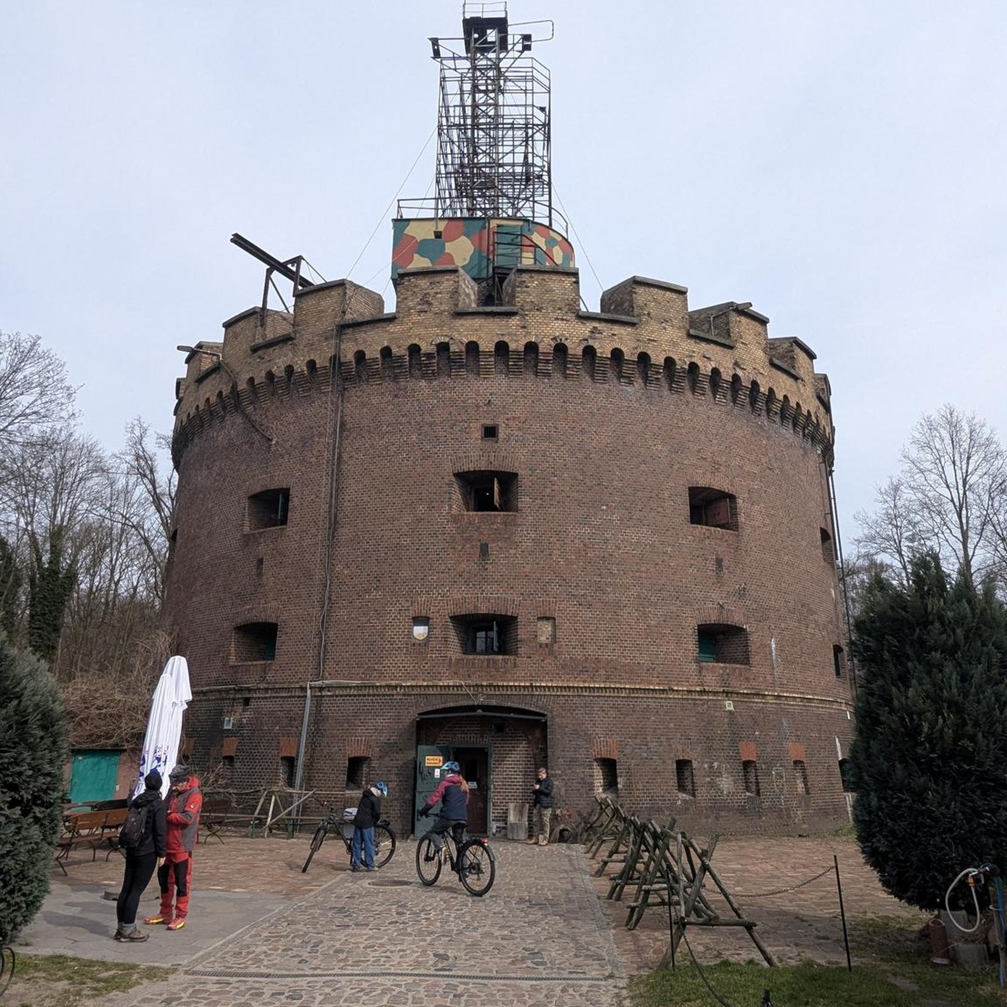
The Saint-André church was renovated in 2019. It is located near the cemetery. Its impressive bell tower offers a unique perspective.
0
0

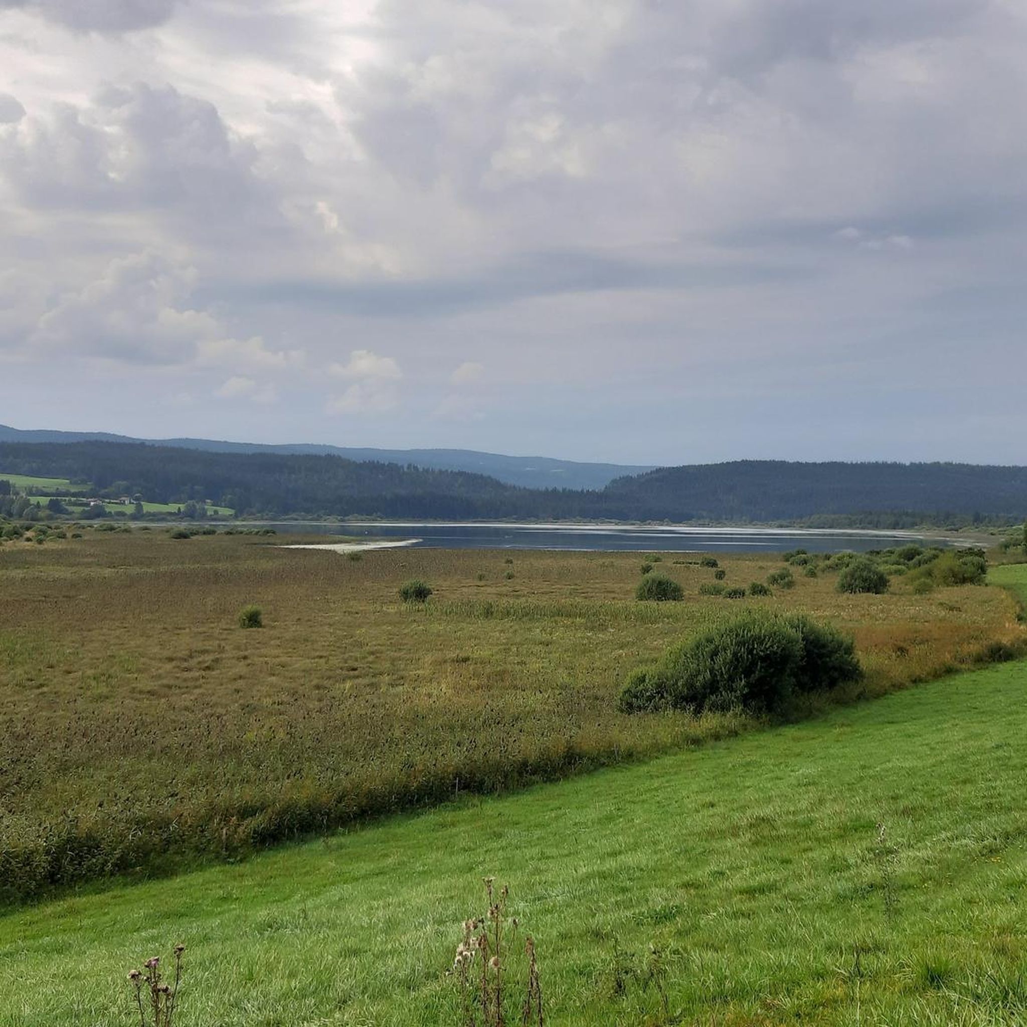
The Frasne peat bog site is classified as a regional nature reserve. It extends over more than 192 hectares. This unique natural environment can be discovered by walking along a landscaped path covered with wooden slats. This offers the double advantage of discovering both the bog of the marshes and the wooded bog, and of preserving this fragile site.
0
0

Here there is an information panel that provides information on the ecosystem of the marsh. There are also superb views of the vegetation, ideal for nature lovers. It is a landscape that constantly changes with the seasons and invites you to return.
0
0

250 year old fir tree, 4m30 in circumference
0
0
Frequently Asked Questions
How many hiking trails are available around Courvières?
There are over 25 hiking routes around Courvières, catering to various skill levels. You'll find a good mix of easy, moderate, and a few more challenging options to explore the diverse landscapes of the Haut-Doubs and Doubs Baumois areas.
Are there family-friendly hiking options around Courvières?
Yes, Courvières offers several easy hikes suitable for families. For instance, the President Fir of La Joux loop from Réserve de la Glacière is an easy 3.7-mile path through forested areas with gentle elevation changes, perfect for a relaxed family outing.
Can I bring my dog on the hiking trails near Courvières?
Many trails in the Courvières region are dog-friendly, but it's always recommended to keep your dog on a leash, especially in nature reserves or areas with livestock. The diverse terrain, from forests to open landscapes, offers plenty of opportunities for you and your canine companion to enjoy the outdoors.
What natural features or landmarks can I expect to see while hiking?
The region around Courvières is rich in natural beauty. You can explore unique wetlands like the Frasne Peat Bogs, which offer interpretive trails on wooden pontoons. Other notable features include the picturesque Loue and Lison Valleys with their impressive gorges and river sources, and the meandering Doubs River with its turquoise waters and rock formations. For specific points of interest, consider visiting Étang de la Rivière-Drugeon or The President Fir of Levier.
Are there any circular hiking routes available?
Yes, many of the hiking routes around Courvières are circular, allowing you to start and end at the same point. A popular option is the Frasne Peat Bogs Boardwalk loop from Frasne, which is a moderate 5-mile trail. Another great choice is the Hiking loop from Mignovillard, covering about 5.9 miles through varied landscapes.
When is the best time of year to go hiking in Courvières?
The best time for hiking around Courvières is generally from spring to autumn, when the weather is mild and the landscapes are vibrant. Summer offers warm temperatures for exploring, while spring and autumn provide beautiful colors and fewer crowds. Some trails may also be accessible for winter hiking, especially those on lower elevations, but always check local conditions.
What makes the Frasne Peat Bogs unique for hiking?
The Frasne Peat Bogs offer a distinctive 'Canadian North' feel, providing a unique hiking experience. You can explore these wetlands on interpretive trails built on wooden pontoons, allowing you to observe the local fauna, flora, and understand the ecological importance of this special environment without disturbing it. The Frasne Peat Bogs Boardwalk loop from Frasne is an excellent way to experience this.
Which hikes offer the best panoramic views?
While Courvières itself is nestled in valleys, the broader Doubs region, particularly areas like Mont d'Or, offers breathtaking ridge walks with panoramic views that can extend to the Alps and Lake Geneva on clear days. For local scenic spots, look for trails that ascend to higher ground within the forests or offer glimpses over the valleys.
Are there any challenging hikes for experienced trekkers?
Yes, while many routes are easy to moderate, the region does offer more demanding treks. Areas like the Gorges de Noailles and the Sarrazine Cave, mentioned in the broader Doubs region, provide challenging routes with steep climbs and unique geological formations. There is one difficult route among the 28 available around Courvières for those seeking a greater challenge.
What do other hikers enjoy the most about hiking in Courvières?
The hiking routes around Courvières are highly rated by the komoot community, with an average score of 4.2 stars. Reviewers often praise the diverse terrain, from verdant valleys and dense forests to unique peat bogs, and the well-maintained network of trails that cater to different ability levels.
Is parking available at the trailheads, or can I use public transport?
Parking is generally available at or near the trailheads for many routes, especially in smaller villages or designated starting points. While public transport options might be limited directly to every trailhead, some routes are accessible from towns with bus or train connections. It's advisable to check specific route details for parking information and public transport accessibility.
Where can I find easy hikes suitable for a relaxed stroll?
For an easy and relaxed stroll, consider routes like the Saint Andrew's Church loop from Bief-du-Fourg, which is an easy 3.5-mile path. These trails typically feature minimal elevation gain and pleasant scenery, perfect for a leisurely walk.
Most popular routes around Courvières
Most popular attractions around Courvières

Get inspired with the komoot mobile app


Explore more
Browse the best Hikes in other regions.
