The best mountain hikes around Montagny-Les-Lanches
4.3
(23)
91
hikers
4
hikes
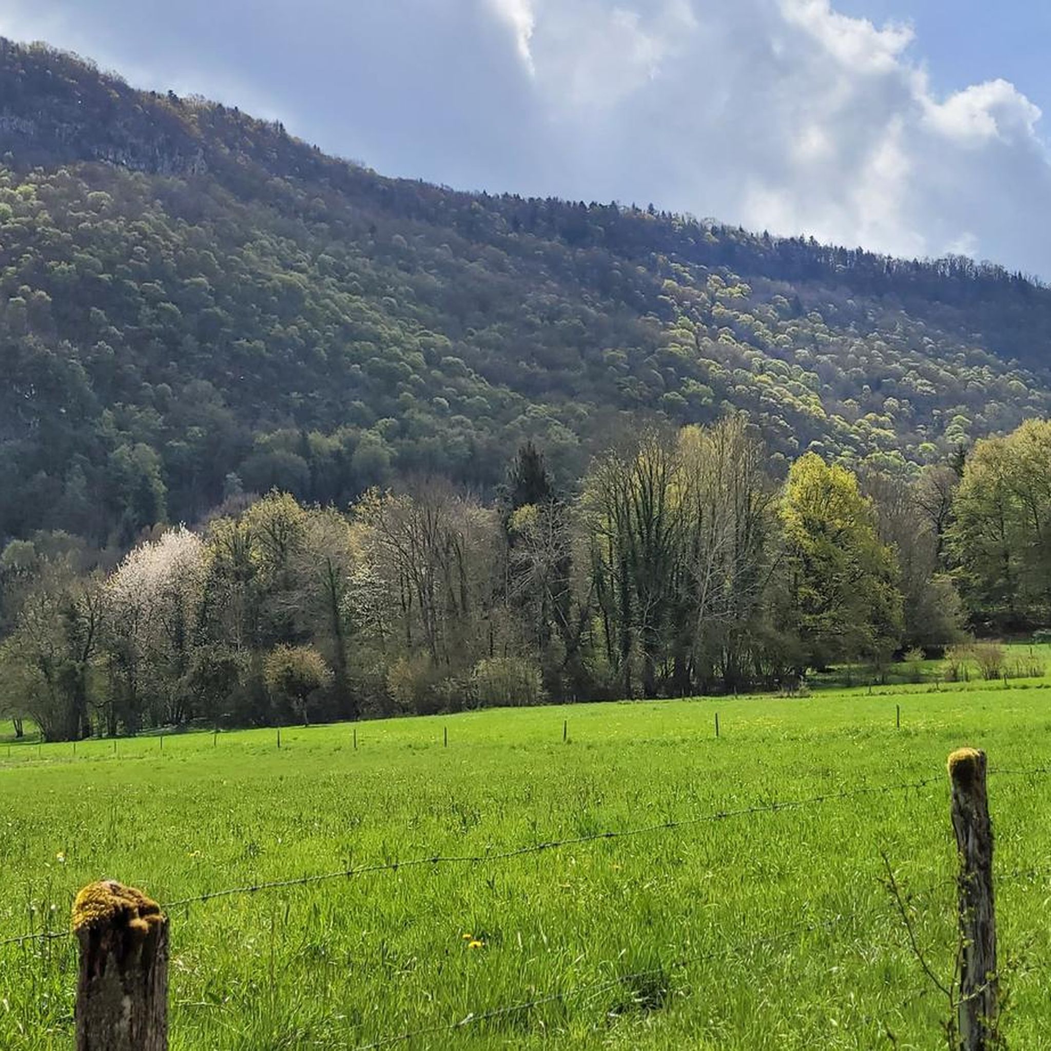
Mountaineering around Montagny-Les-Lanches benefits from its location amidst prominent massifs, offering diverse terrain for outdoor activities. The region is characterized by its proximity to the Semnoz, Tournette, and Bauges massifs, providing a backdrop of varied mountain landscapes. Montagny-les-Lanches itself is situated on a small hill, serving as a base for exploring the surrounding forests, streams, and meadows that lead to higher elevations. This natural setting offers routes with panoramic views of the Alps, including Mont Blanc.
Best mountaineering routes around…
Last updated: October 14, 2026
4.0
(1)
15
hikers
13.6km
06:30
1,050m
1,050m
Hard mountaineering route. Very good fitness required. Mostly accessible paths. Sure-footedness required.
4.2
(5)
13
hikers
Hard mountaineering route. Very good fitness required. Mostly accessible paths. Sure-footedness required.

6
hikers
9.79km
02:53
290m
290m
Moderate mountaineering route. Good fitness required. Easily-accessible paths. Suitable for all skill levels.
5.0
(1)
4
hikers
Hard mountaineering route. Very good fitness required. Mostly accessible paths. Sure-footedness required.
4
hikers
5.78km
01:38
130m
130m
Easy mountaineering route. Great for any fitness level. Easily-accessible paths. Suitable for all skill levels.
Our route recommendations are based on thousands of hikes, rides, and runs completed by other people on komoot.
Start today with a free account
Your next adventure awaits.
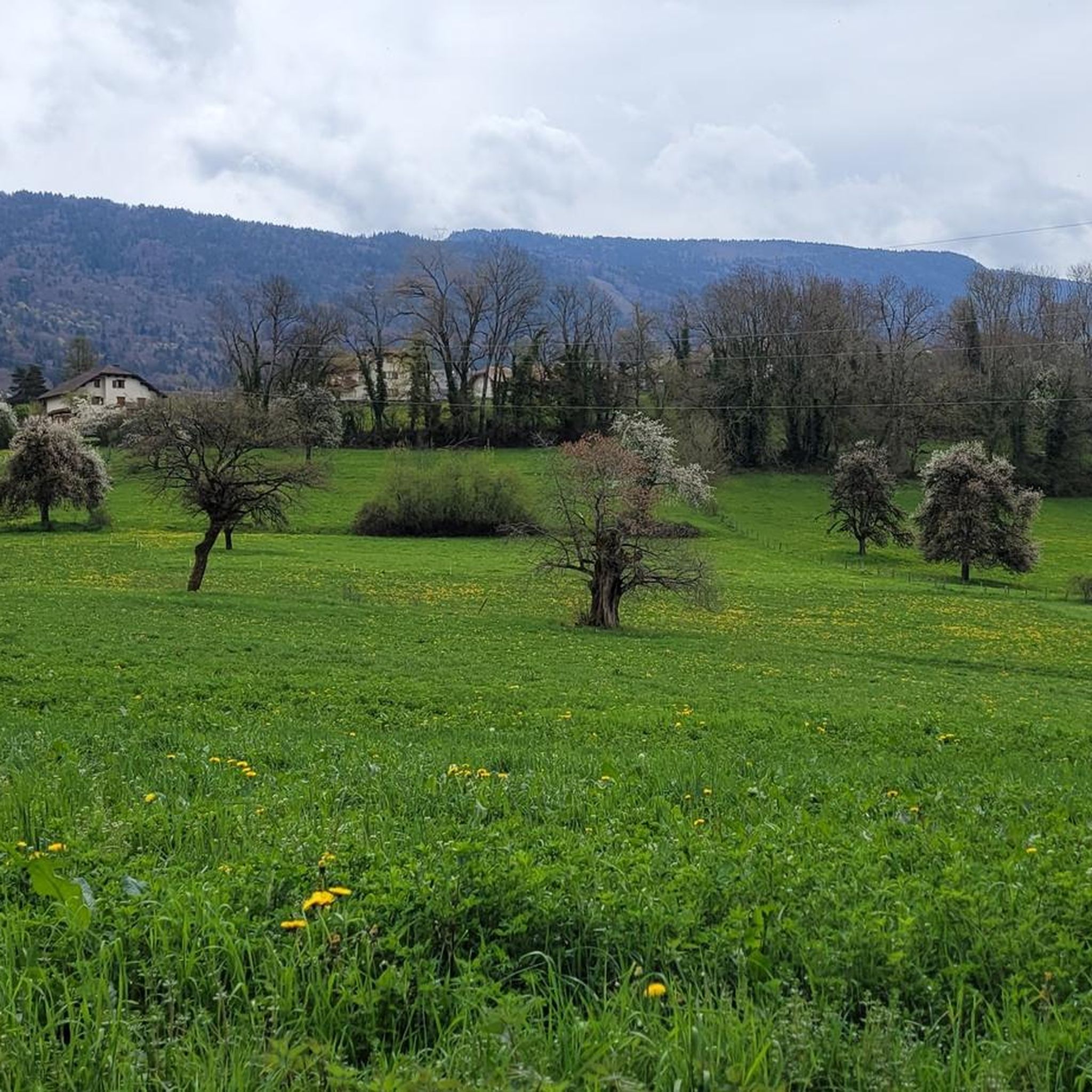
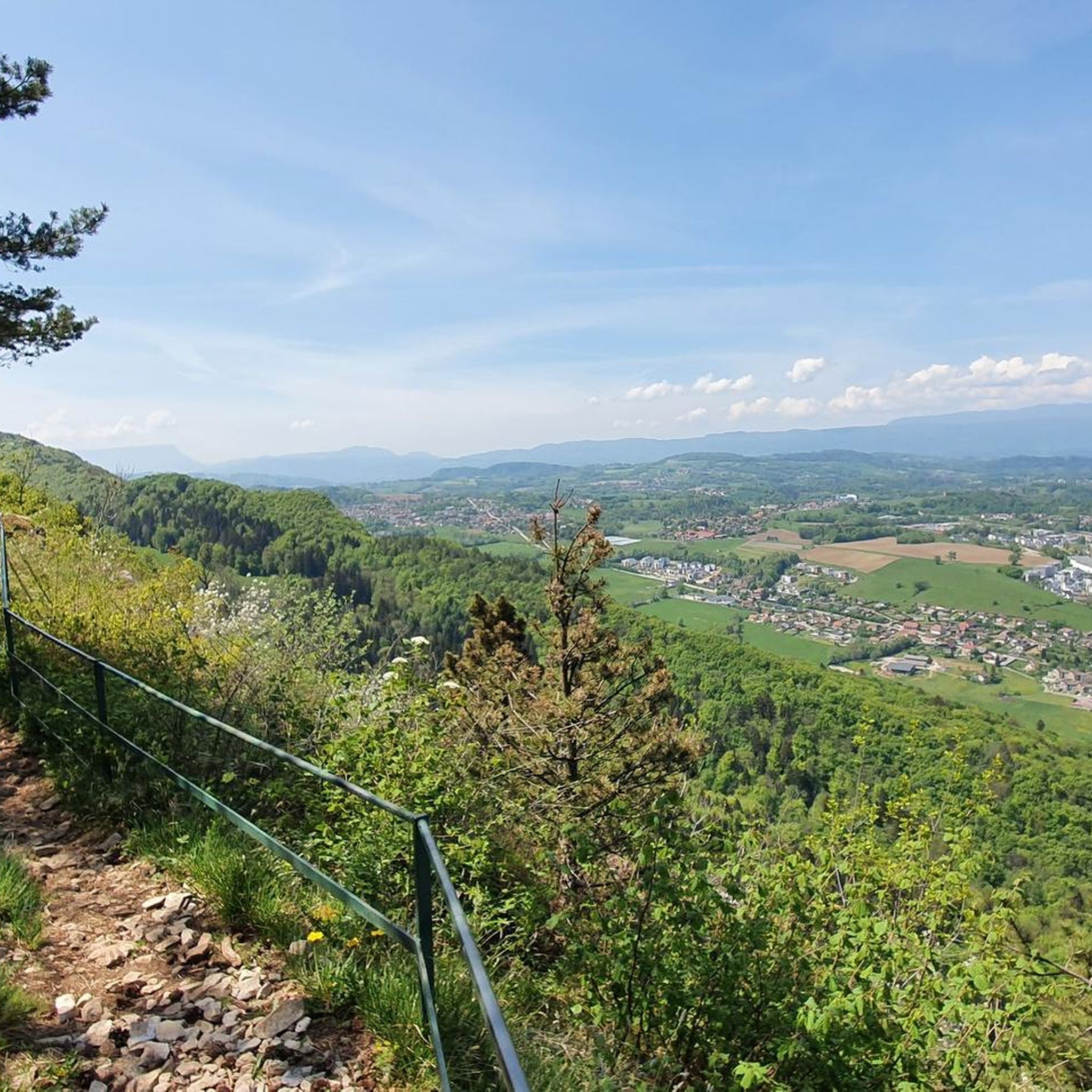
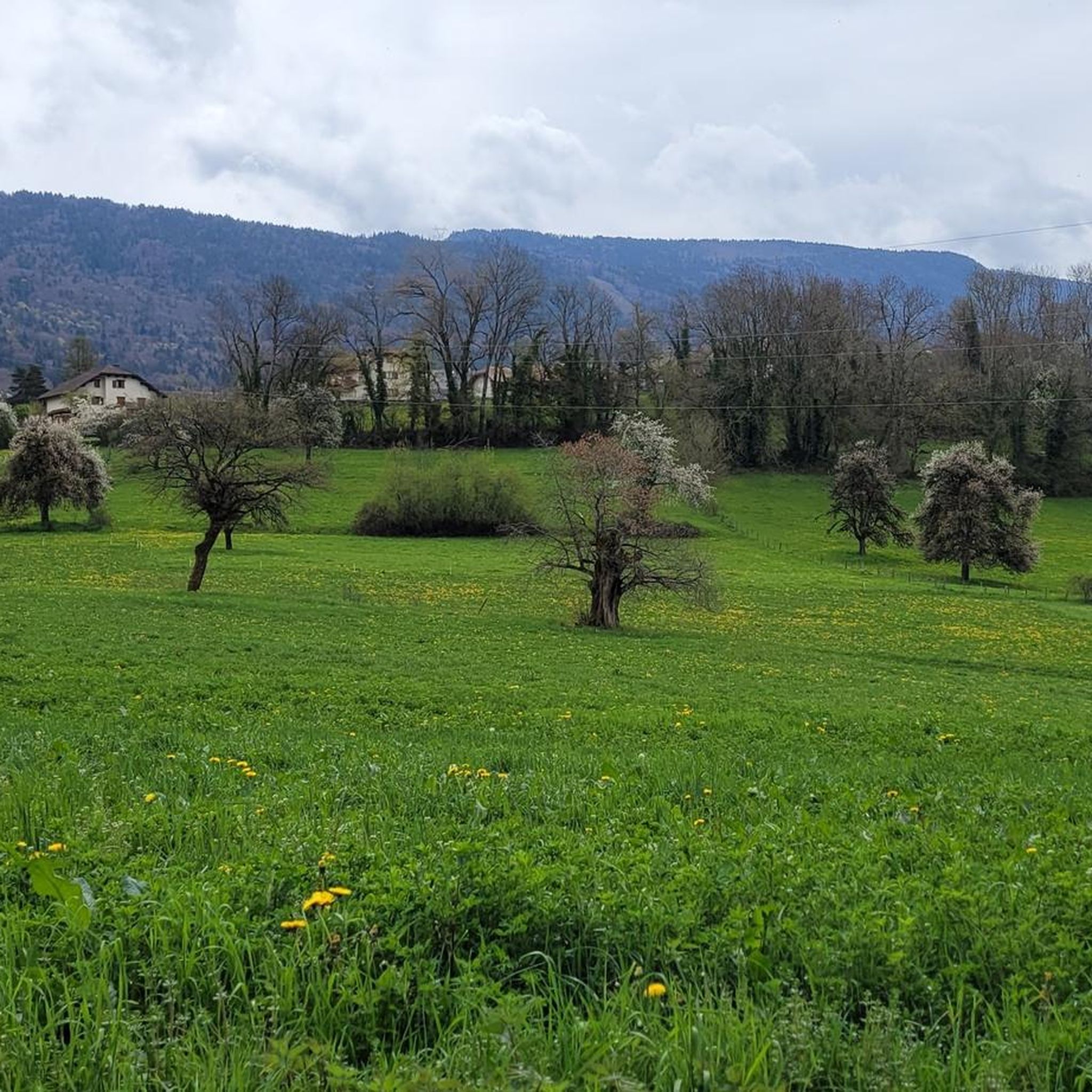
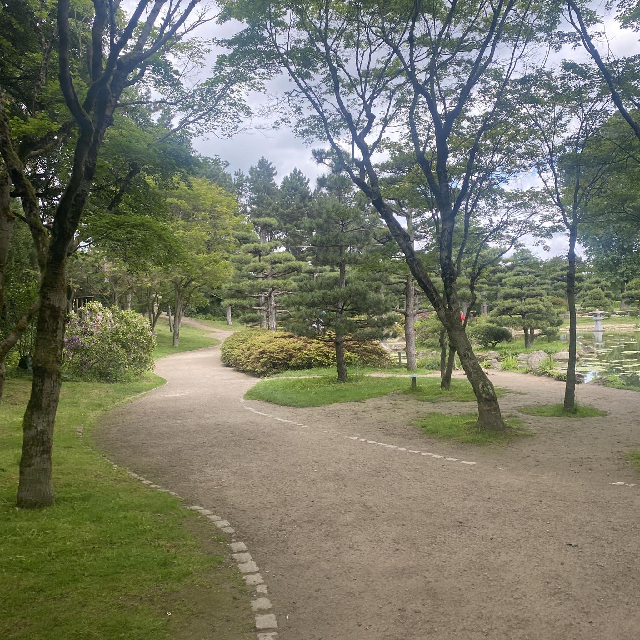
Tips from the Community

A sumptuous panorama of Mont-Blanc
0
0
Long and difficult but a great reward at the end
0
0

Breathtaking and incredible view of the Annecy basin.
0
0

Please note that since 2024, a decree prohibits access to the parking lot and prevents parking along the road. They pass by and issue fines otherwise.
0
0

Highest point of Semnoz. Amazing views of Alps and surrounding countryside
0
0

Calm at altitude... On site, you will find hikers, cows, fresh air, grass, nature, parking lots and cyclists. Everything is there to relax and recharge your batteries. By respecting the signs regarding bicycles, the dangers of cows, the pedestrian routes, the mountain will be for everyone. A panoramic view of the area offers 360 degrees of beauty via a hike. Numerous on-site parking. Trail running here is great with multiple down and up hills through the forest. 👌
1
0

Overcrowded, closed parking lots
0
0

wide view, with a good view you can see Mont Blanc.
0
1
Frequently Asked Questions
What is the general difficulty level of mountaineering routes around Montagny-les-Lanches?
The mountaineering routes in this region offer a range of challenges. You'll find options from moderate to difficult, catering to various experience levels. For example, the Col du Semnoz summit – Crêt de Châtillon Summit loop from Maison du Semnoz is a moderate route, while several others, like the Mount Baron – View of the Aravis and Bauges loop from Annecy-le-Vieux, are considered difficult.
Are there any family-friendly hiking options near Montagny-les-Lanches?
While the mountaineering routes listed are generally moderate to difficult, the region offers family-friendly hiking. The 'Boucle des Paysages des Lanches' is a very easy, 9.06 km route with an elevation gain of 248 meters, taking about 2 hours and 45 minutes. It's accessible year-round and provides excellent views of the surrounding mountains, forests, streams, and meadows.
What kind of panoramic views can I expect on these mountaineering routes?
Montagny-les-Lanches is renowned for its breathtaking panoramic views. From higher points, especially the Crêt de Châtillon in the Semnoz Massif, you can enjoy a 360° panorama that includes Mont Blanc, the Aravis chain, the Bauges, the Beaufortain, the Belledonne chain, Lake Annecy, Lake Bourget, and even a part of Lake Geneva. Routes like the View of the Aravis and Bauges – Mount Baron loop from Annecy also offer broad mountain vistas.
How long do the mountaineering routes typically take to complete?
The duration of mountaineering routes varies depending on their length and difficulty. For instance, the moderate Col du Semnoz summit – Crêt de Châtillon Summit loop from Maison du Semnoz can be completed in about 3 hours. More challenging routes, such as the Mount Baron – View of the Aravis and Bauges loop from Annecy-le-Vieux, might take around 6 hours and 29 minutes, while the longer View of the Aravis and Bauges – Mount Baron loop from Annecy can extend to over 7 hours.
Are there any circular mountaineering routes available?
Yes, several mountaineering routes in the area are circular, allowing you to start and end at the same point. Examples include the moderate Col du Semnoz summit – Crêt de Châtillon Summit loop from Maison du Semnoz, which takes you to the highest point of Semnoz, and the more challenging View of the Aravis and Bauges – Mount Baron loop from Annecy-le-Vieux.
What are some notable natural features or landmarks along the mountaineering routes?
The routes often lead through diverse terrain of forests, streams, and meadows, offering a rich natural environment. A significant landmark is the Crêt de Châtillon, the highest point in the Semnoz Massif, which provides exceptional 360° panoramic views. While on your mountaineering adventure, you'll also be treated to views of prominent massifs like the Semnoz, Tournette, and Bauges.
What do other mountaineers say about the routes in Montagny-les-Lanches?
The mountaineering routes around Montagny-les-Lanches are highly regarded by the komoot community, holding an average rating of 4.3 stars from over 22 reviews. More than 85 mountaineers have explored this varied terrain, often praising the expansive views and the rewarding challenge of the climbs.
What other attractions are there near Montagny-les-Lanches besides mountaineering?
Beyond mountaineering, Montagny-les-Lanches is an excellent base for exploring other attractions. Just 10 km away is Lake Annecy, famous for its clear waters and water sports. The historic town of Annecy is also nearby, offering its charming Old Town, the Palais de l'Ile, and the Pont des Amours.
Are there any easy mountaineering routes for beginners?
While most listed mountaineering routes are moderate to difficult, the region offers one easy mountaineering option. For those seeking a gentler introduction to the mountain environment, the 'Boucle des Paysages des Lanches' is a very easy hiking itinerary that starts in Montagny-les-Lanches, providing beautiful views without the strenuous climbs of dedicated mountaineering tours.
What is the highest point reachable on a mountaineering route from Montagny-les-Lanches?
The highest point directly accessible via a listed mountaineering route is the Crêt de Châtillon, which stands at an altitude of 1,702 meters. You can reach this summit via the moderate Col du Semnoz summit – Crêt de Châtillon Summit loop from Maison du Semnoz, offering exceptional 360° panoramic views.
What is the longest mountaineering route in the area?
The longest mountaineering route in the immediate vicinity is the View of the Aravis and Bauges – Mount Baron loop from Annecy. This difficult path covers 17.3 kilometers (10.7 miles) and typically takes around 7 hours and 3 minutes to complete, offering sustained climbing and extensive mountain vistas.
Most popular routes around Montagny-Les-Lanches
Most popular attractions around Montagny-Les-Lanches

Get inspired with the komoot mobile app


Explore more
Browse the best Mountain Hikes & Routes in other regions.
