The best road cycling routes around Blons
4.6
(98)
2,362
riders
30
rides
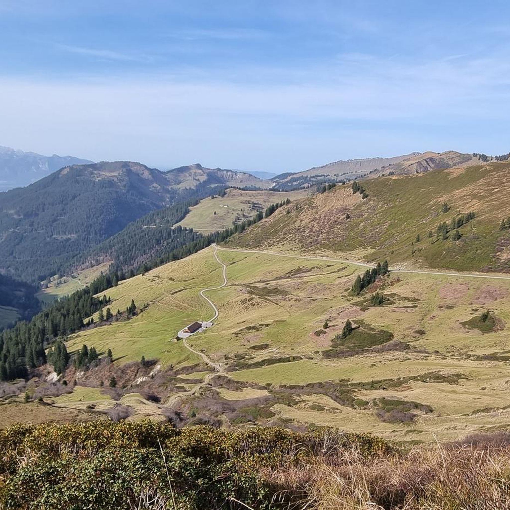
Road cycling routes around Blons are situated within the UNESCO Biosphere Park Großes Walsertal in Vorarlberg, Austria. The region features mountainous terrain with significant elevation changes, characterized by steep climbs and descents through valleys and past challenging passes. Cyclists navigate through coniferous forests, alpine meadows, and along river valleys, with many routes offering predominantly paved surfaces.
Best road cycling routes around Blons
- The most popular road cycling route is Damüls – Faschinajoch Pass (1,486 m) loop from Damüls, a…
Last updated: June 26, 2026
5.0
(5)
58
riders
47.0km
03:09
1,550m
1,550m
Hard road ride. Very good fitness required. Mostly well-paved surfaces and easy to ride.
5.0
(3)
34
riders
24.3km
01:44
900m
900m
Hard road ride. Very good fitness required. Mostly well-paved surfaces and easy to ride.

Sign up for free
5.0
(1)
28
riders
29.3km
02:08
1,060m
1,060m
Hard road ride. Very good fitness required. Some segments of this route may be unpaved and difficult to ride.
19
riders
114km
07:36
3,350m
3,350m
Hard road ride. Very good fitness required. Some segments of this route may be unpaved and difficult to ride.
5.0
(1)
17
riders
22.4km
01:45
790m
790m
Moderate road ride. Good fitness required. Some segments of this route may be unpaved and difficult to ride.
Get access to more routes and recommendations from other explorers.
Sign up for free
Already have an account?
Our route recommendations are based on thousands of hikes, rides, and runs completed by other people on komoot.
Start today with a free account
Your next adventure awaits.
Login or Signup
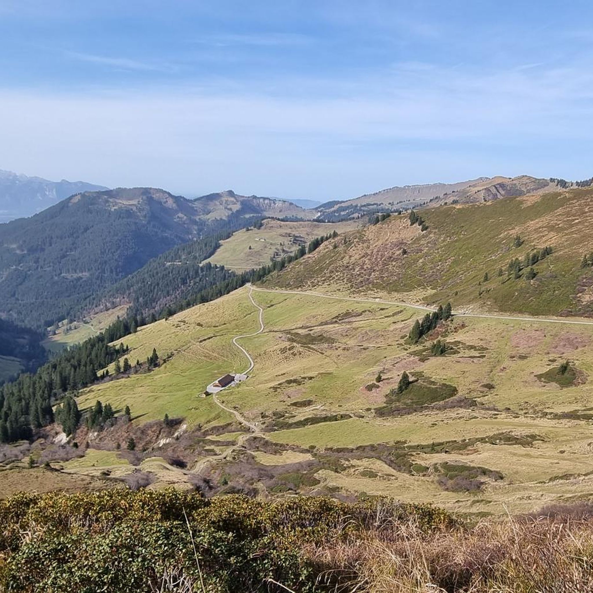
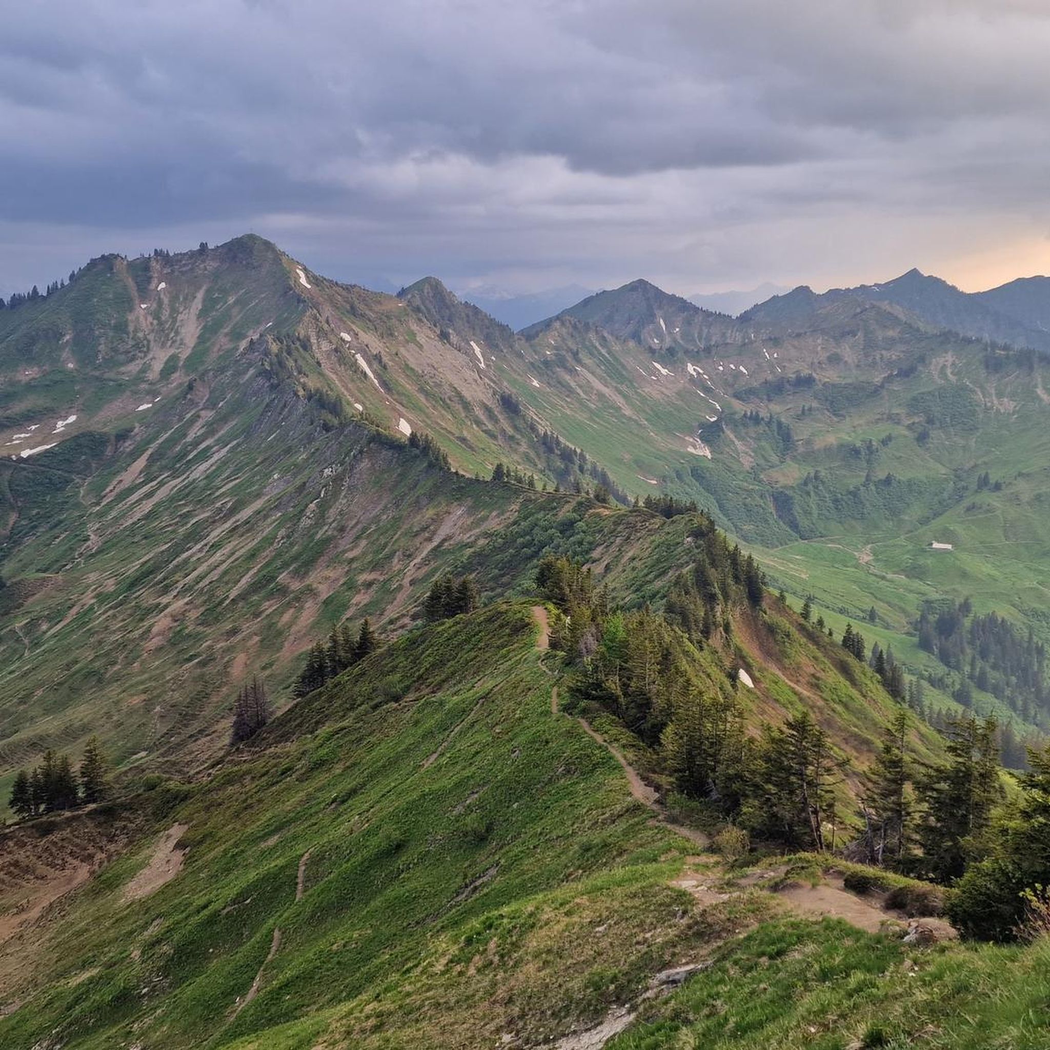
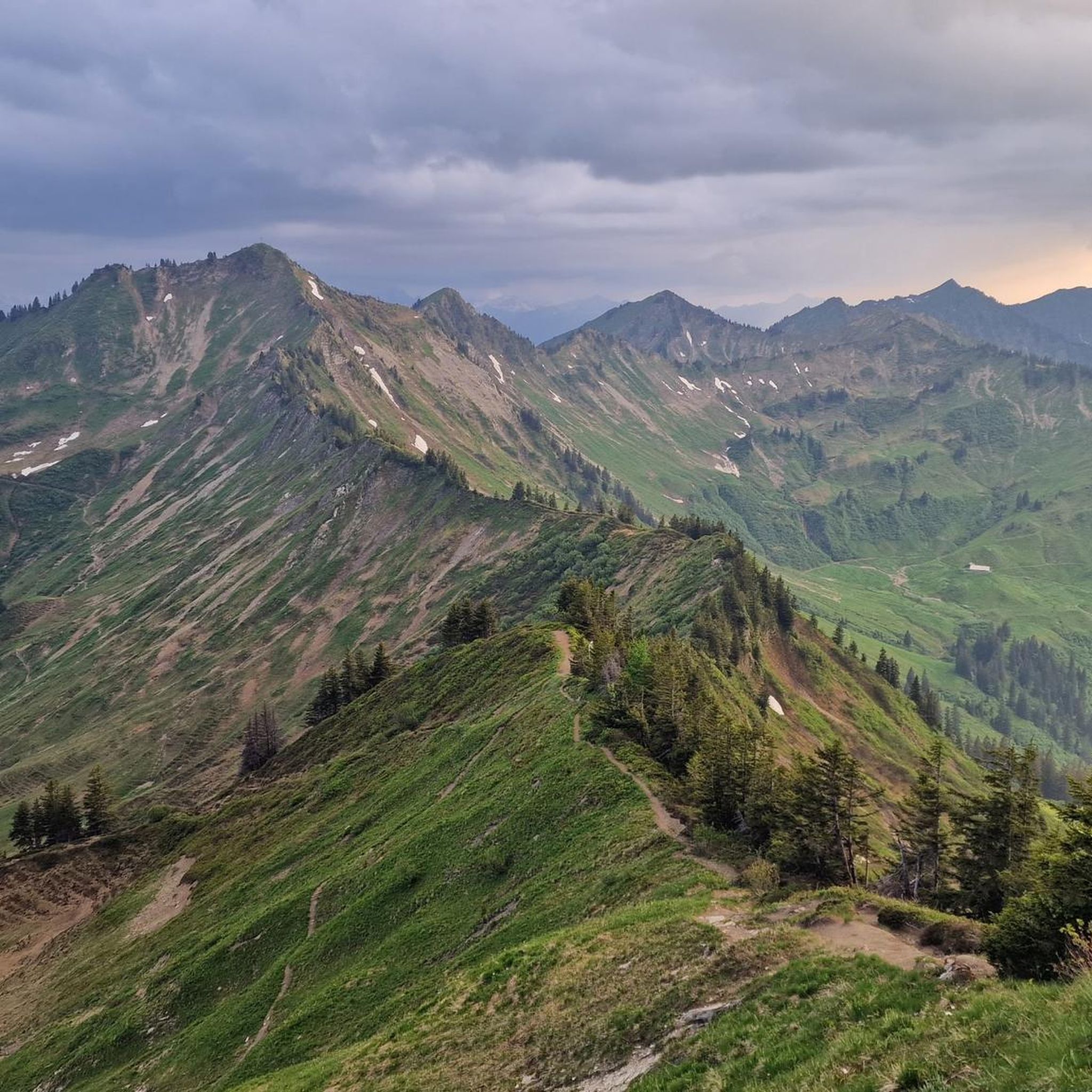
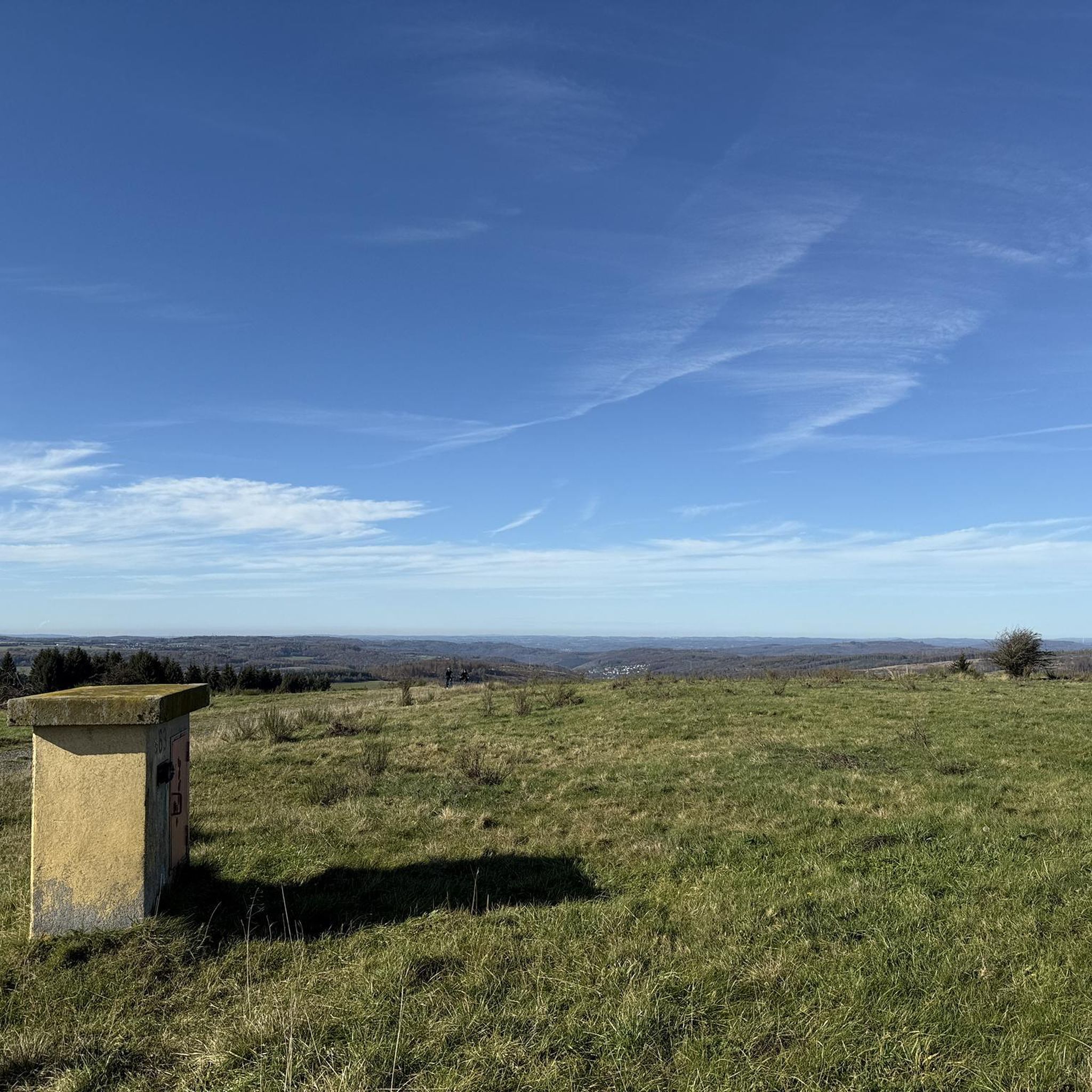

Tips from the Community

steep but quiet climb up to the Alpe
0
0

Excellent alternative to avoid the tunnel, all asphalted.
2
0

Perfect drinking water, fill up your water bottle and off we go
0
0

Everything beautifully done
0
0


The Faschina Road (L 193) is a state road in Austria. It is 38.6 km long and runs from Nüziders on the Ill River to Au on the Bregenzer Ach. A large part of the route runs through the Großes Walsertal Valley. The state road is named after the Faschinajoch Pass, the highest point on the route at 1,486 m above sea level. Wikipedia
1
0

A beautiful, approximately 21-kilometer climb from Thüringen to the Faschinajoch. One of several routes to the top. The first few kilometers are quite tough, but shortly after St. Gerold, things ease off a bit. The real challenge, however, awaits towards the end – be sure to save enough energy for that!
1
1

Biosphere Reserve House, Floor 34, Sunday The visitor center of the UNESCO Biosphere Reserve Großes Walsertal combines a hub for activities and questions about the biosphere reserve with its role as a basic service provider for the region. With the Biosphere Reserve shop selling local food and handicrafts, the adjoining bistro, the post office, and the interactive exhibition "Walser on the Way," it is a contact point for locals and visitors alike. As a nature conservation partner of the Mountaineering Villages initiative, we provide you with information about the mountaineering village of the UNESCO Biosphere Reserve Großes Walsertal. Our staff will be happy to advise you. You can obtain free brochures and informational materials on site, and you can purchase hiking maps and literature about the region and nature in the shop. The bistro and our visitor library also invite you to linger. The exhibition "Walser on the Way" offers insights into life and business in the Großes Walsertal. Guided tours can be booked for groups. The strengthening of regional products and cycles is reflected in our daily activities at the visitor center, as well as in the shop's product range and the bistro and events. Text / Source: biosphärenpark.haus, Boden 34, 6731 Sonntag https://www.grosseswalsertal.at/de/biosphaerenpark_haus
13
1
Frequently Asked Questions
How many road cycling routes are available around Blons?
There are over 30 road cycling routes available around Blons, catering to various fitness levels. These routes are situated within the UNESCO Biosphere Park Großes Walsertal, offering diverse landscapes for exploration.
What kind of terrain can I expect when road cycling in Blons?
Road cycling in Blons is characterized by mountainous terrain with significant elevation changes. You can expect steep climbs and descents through valleys, past challenging passes like Faschina and Furka, and through dense coniferous forests and colorful mountain meadows. While flat sections are rare, the routes offer engaging climbs and descents.
What is the best time of year for road cycling in Blons?
The best time for road cycling in Blons is typically during the warmer months, from late spring to early autumn, when the mountain passes are clear of snow and weather conditions are most favorable. Always check local weather forecasts before heading out, as alpine conditions can change rapidly.
What are the typical road conditions on cycling routes in Blons?
Many of the road cycling routes in the Blons region feature predominantly paved surfaces, ensuring a smooth riding experience despite the challenging topography. This allows for enjoyable rides even on routes with significant elevation changes.
Are there road cycling options for different skill levels in Blons?
Yes, Blons offers a range of road cycling routes suitable for various skill levels. Out of the over 30 routes, you'll find 6 easy routes, 14 moderate routes, and 13 difficult routes, ensuring there's a challenge for every cyclist.
What natural features or landmarks can I see along the road cycling routes?
Along the road cycling routes around Blons, you can encounter stunning natural features and landmarks. These include the dramatic Bürs Gorge Trail, the scenic Bürserschlucht Trail, and the picturesque Tiefensee Saddle. Many routes also pass through river valleys and past traditional Alpine huts.
Are there places to stop for refreshments or food along the routes?
Yes, many routes pass by traditional Alpine huts (Alpen) where you can find refreshments. Notable options include the Frassenhütte Mountain Restaurant and Alpe Uga, offering opportunities to sample local fare amidst stunning scenery.
What do other road cyclists enjoy the most about road cycling in Blons?
The road cycling routes in Blons are highly rated by the komoot community, with an average score of 4.6 stars from over 120 reviews. Reviewers often praise the challenging yet rewarding routes, the breathtaking panoramic views, and the immersion in the protected UNESCO Biosphere Park Großes Walsertal.
Are there any particularly challenging road cycling routes in the area?
Yes, Blons is known for its challenging routes with significant elevation gains. For example, the Damüls – Faschinajoch Pass (1,486 m) loop from Damüls is a difficult 47 km trail with substantial elevation gain. Another demanding option is the Damüls – Hochtannberg Pass loop from Marul Fuchswald, which covers over 115 km with more than 3,300 meters of elevation.
Can I find moderate road cycling routes around Blons?
Absolutely. While Blons is known for its challenging terrain, there are also moderate options. The Church of Thüringerberg – Faller Lake loop from Thüringerberg is a moderate 22.5 km route that takes you through scenic landscapes with manageable elevation changes, perfect for a less strenuous ride.
Are there any routes that feature lakes or specific viewpoints?
Yes, several routes offer views of lakes and scenic viewpoints. The Faller Lake – Dünser Älpele loop from Thüringen leads through alpine landscapes and past Faller Lake, providing picturesque views. The region's mountainous nature also ensures numerous panoramic viewpoints along most routes.
Most popular attractions around Blons

Get inspired with the komoot mobile app


Explore more
Browse the best Road cycling routes in other regions.
